Explore local development through the land, the plans and the public record. Six place views connect published drawings with the story behind each project.
Research snapshot: November 3, 2026. Five-year review: November 3, 2021 to November 3, 2026. Includes current projects, historical milestones, individual ADUs and small residential permits.
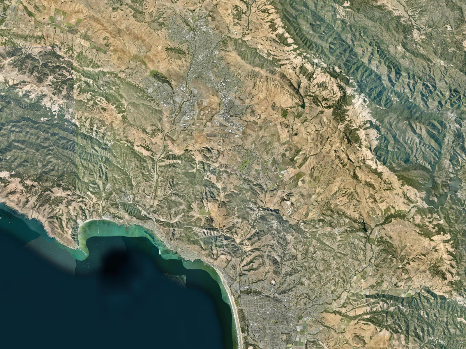
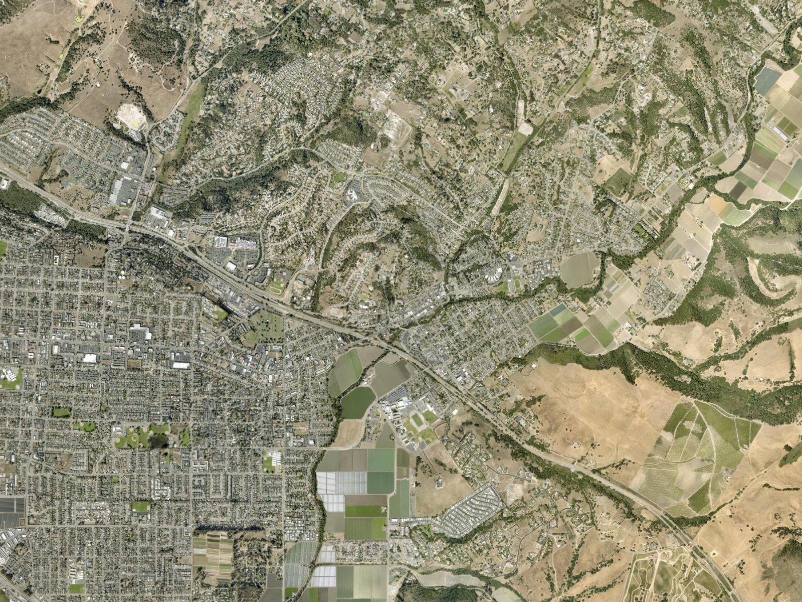
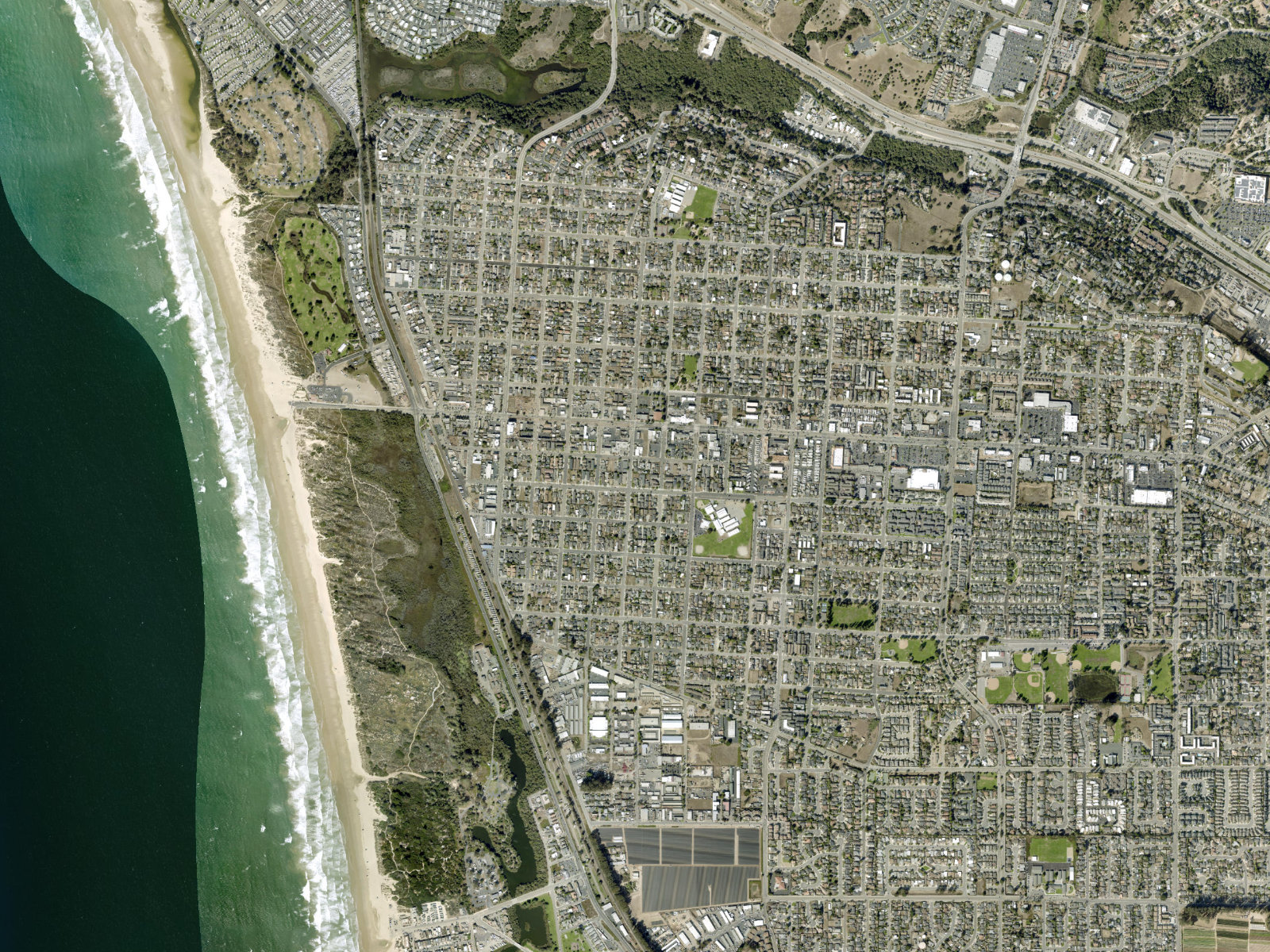
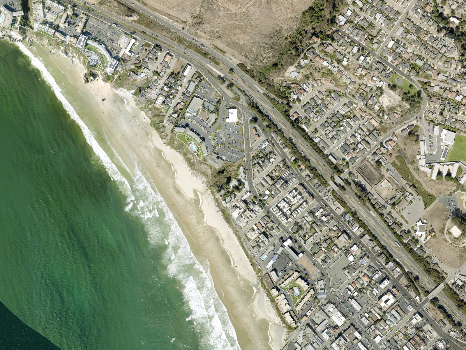
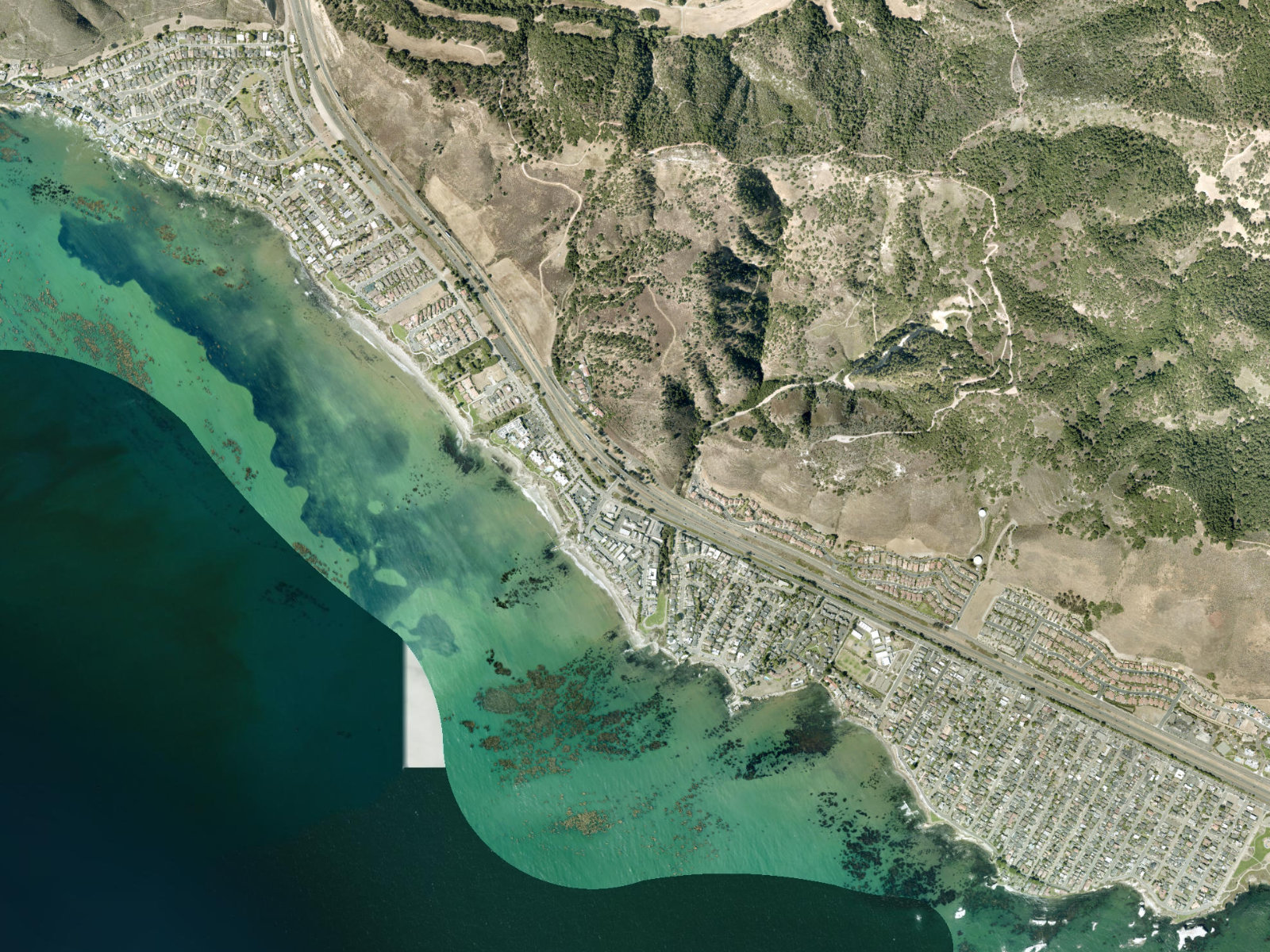
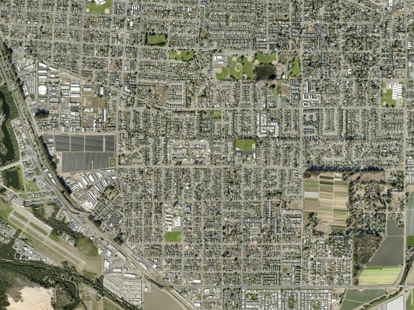
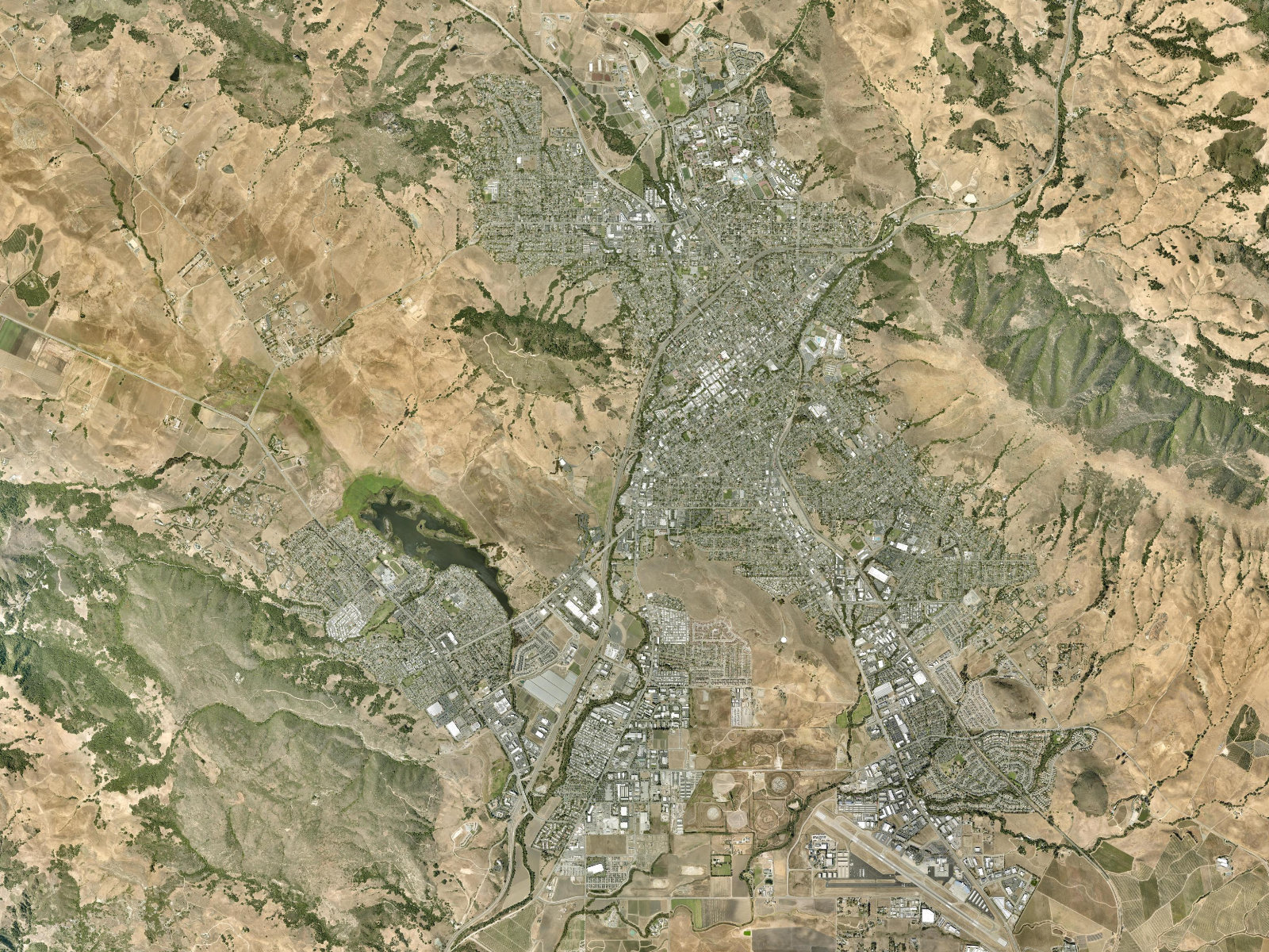
Saved aerial context. Imagery capture date unverified. Esri, Vantor, Earthstar Geographics and GIS User Community.
14,925Project and permit records
6City and community views
73Records with published visuals
2Approximately aligned plans
Start with a place
Explore the coast and the city.
Shell Beach is part of Pismo Beach. Oceano is unincorporated. These are useful browsing areas, not six separate legal city boundaries.
Switch between aerial and street context, inspect published drawings, and open full-size sheets with zoom and pan. Gold boundaries identify source-listed assessor parcels. Cyan outlines show approximate plan alignment.
The five-year expansion includes individual permit records. Read the jurisdiction-by-jurisdiction coverage audit for reviewed sources and remaining gaps. This is not a certified complete permit census. A proposal is not an approval, a rendering is not a finished building, and a parcel is not a construction footprint.
Master plans and their phases can overlap. Do not add their figures together. Every record retains source dates, documented impacts and unresolved questions.
Keep the evidence close
The research library.
The JSON, CSV, geographic data and dossier include the expansion. The original ZIP, map book and interactive atlas retain the original 143-record snapshot. Original drawings remain preserved. Source links remain available in each project dossier.