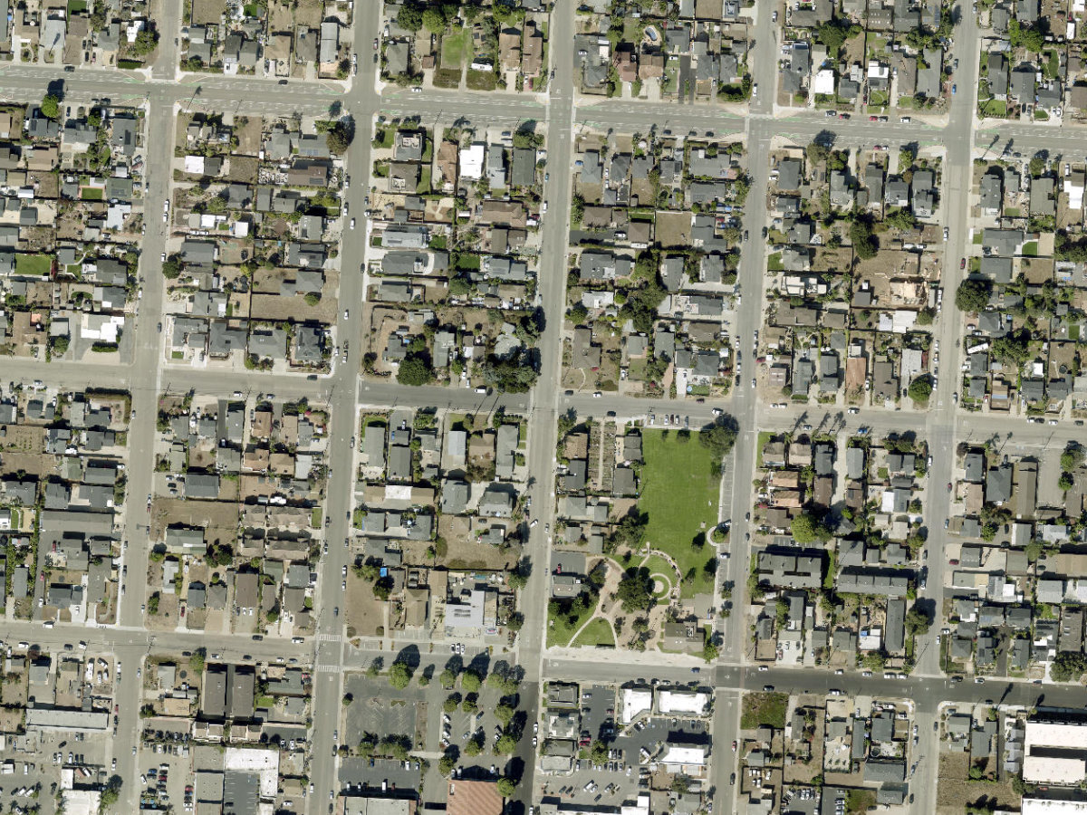
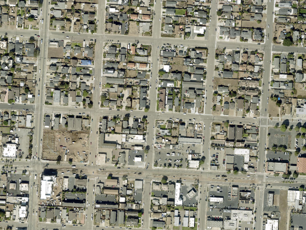
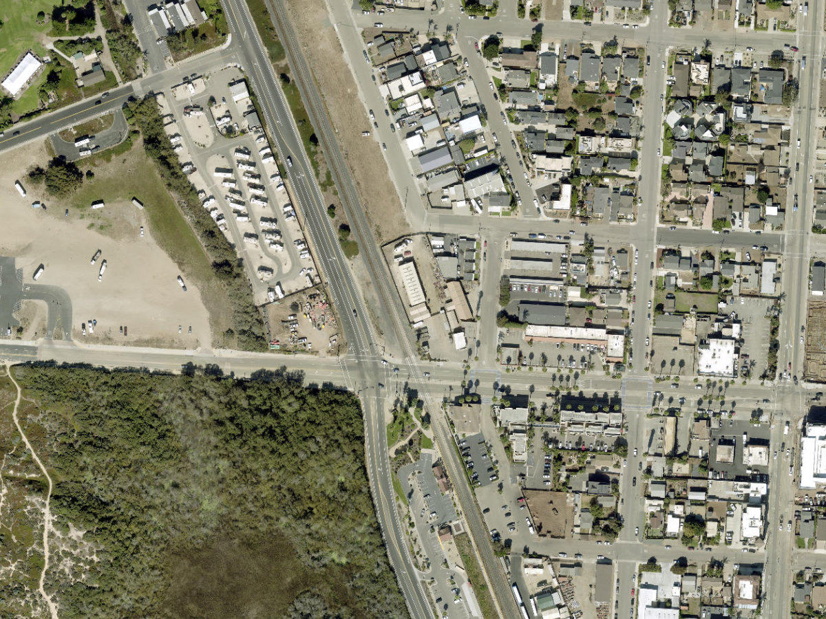
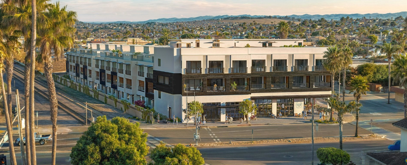
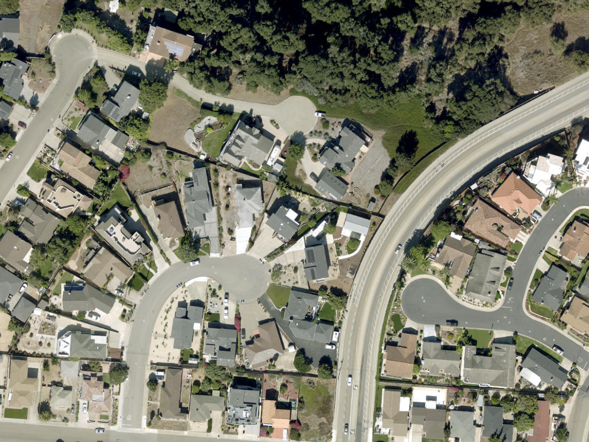
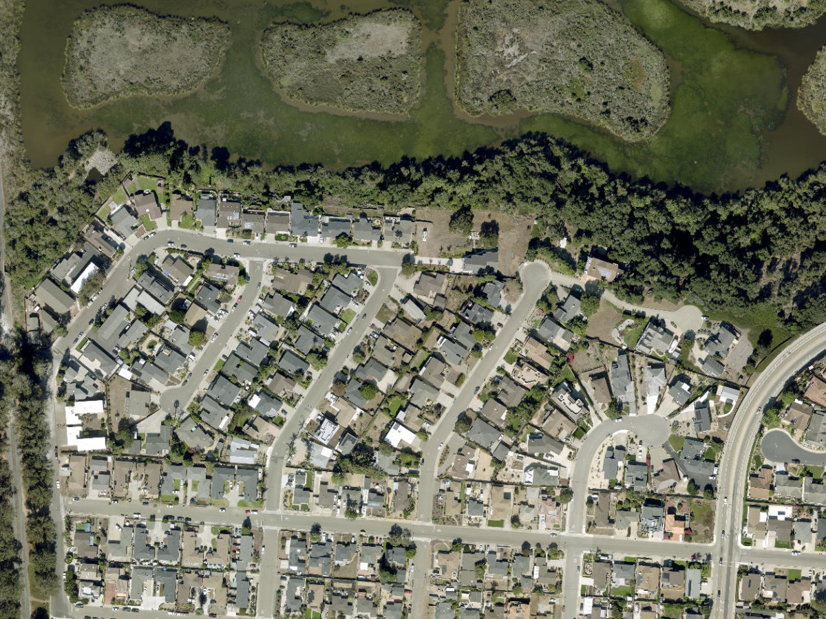
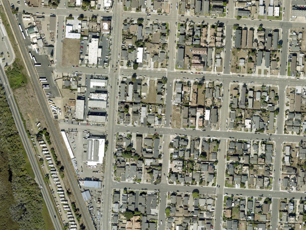
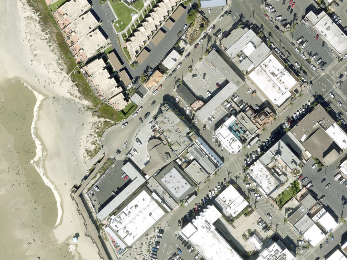
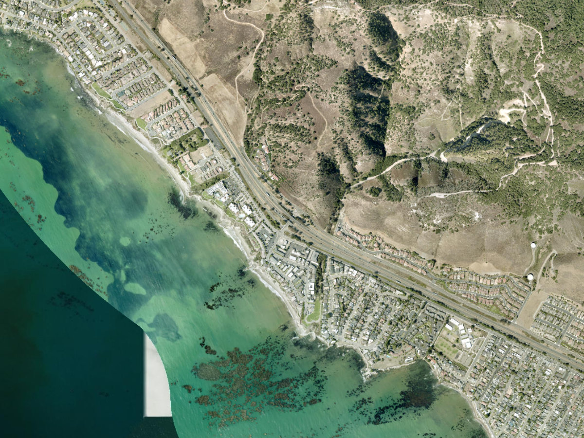
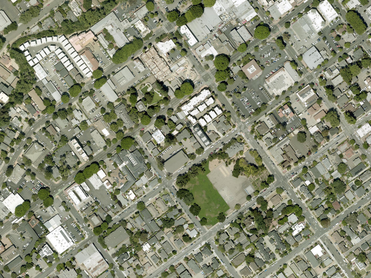
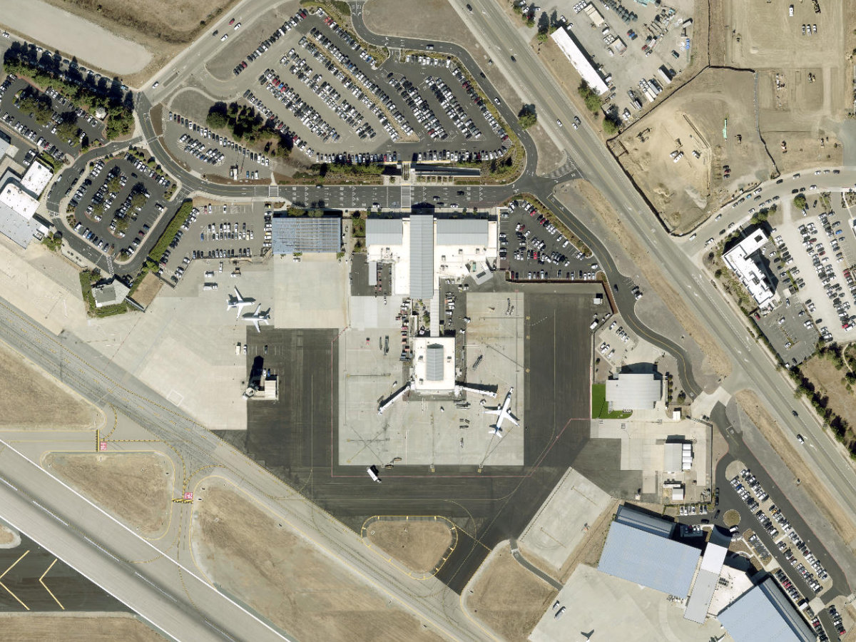
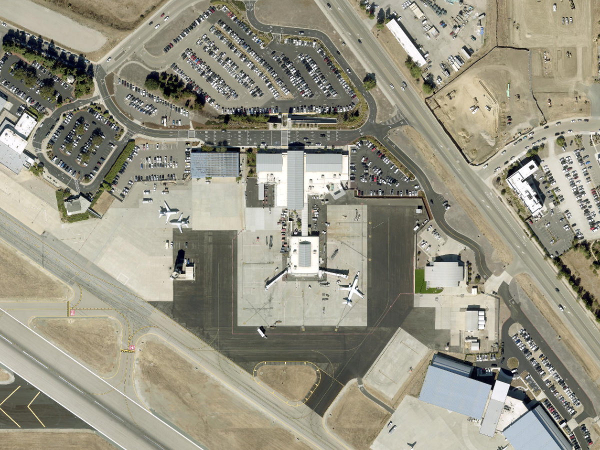
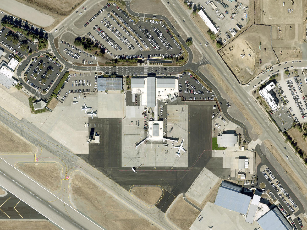
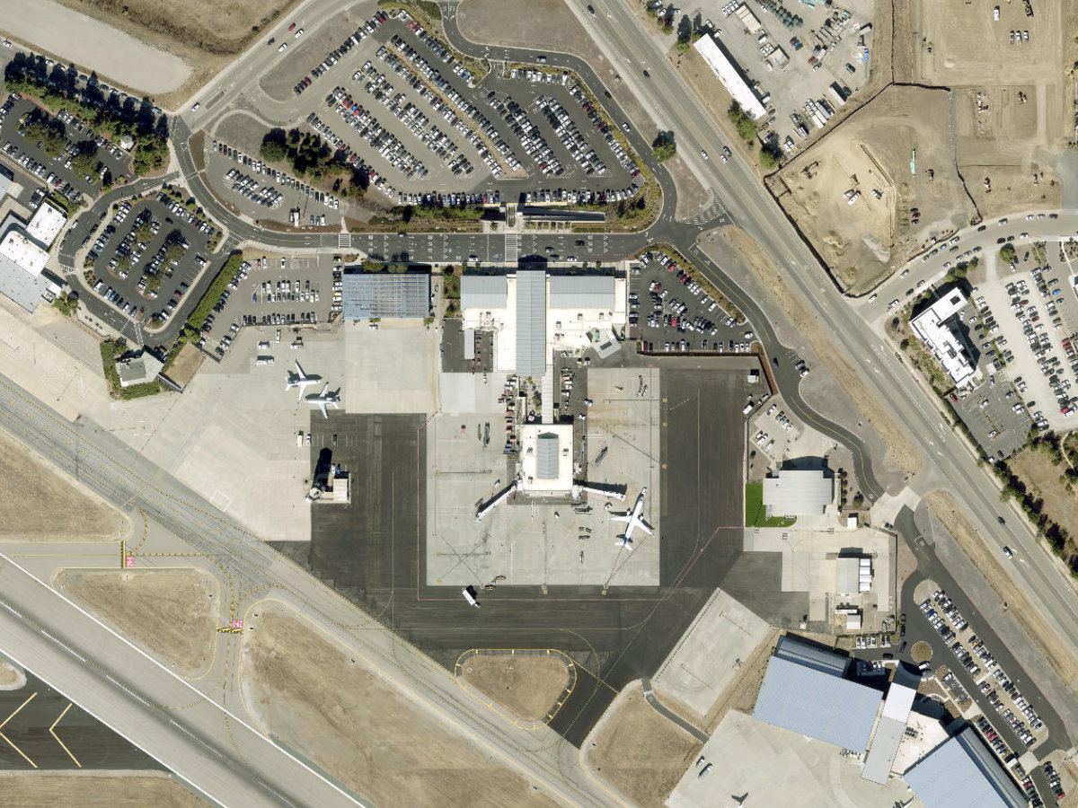
Arroyo Grande, Grover Beach, Pismo Beach, Shell Beach, Oceano and San Luis Obispo.
143 project and phase records, with individual maps, documented details and explicit research gaps.
New: aerials, layouts, pictures and impact notes
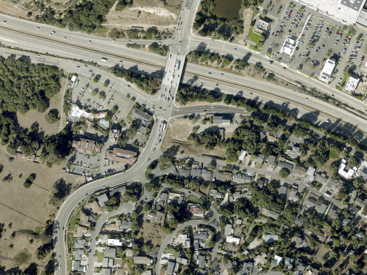
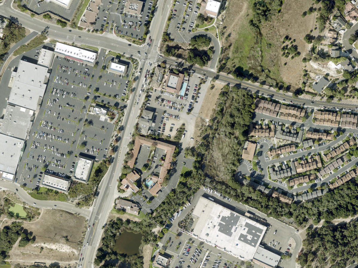
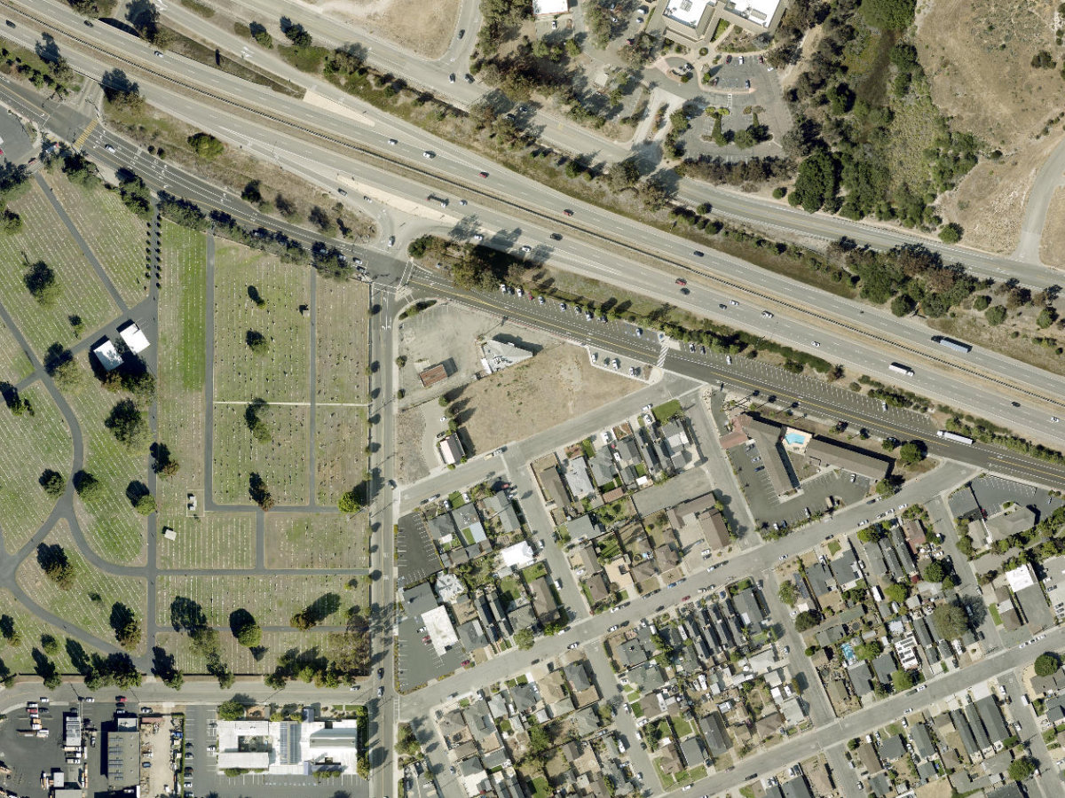
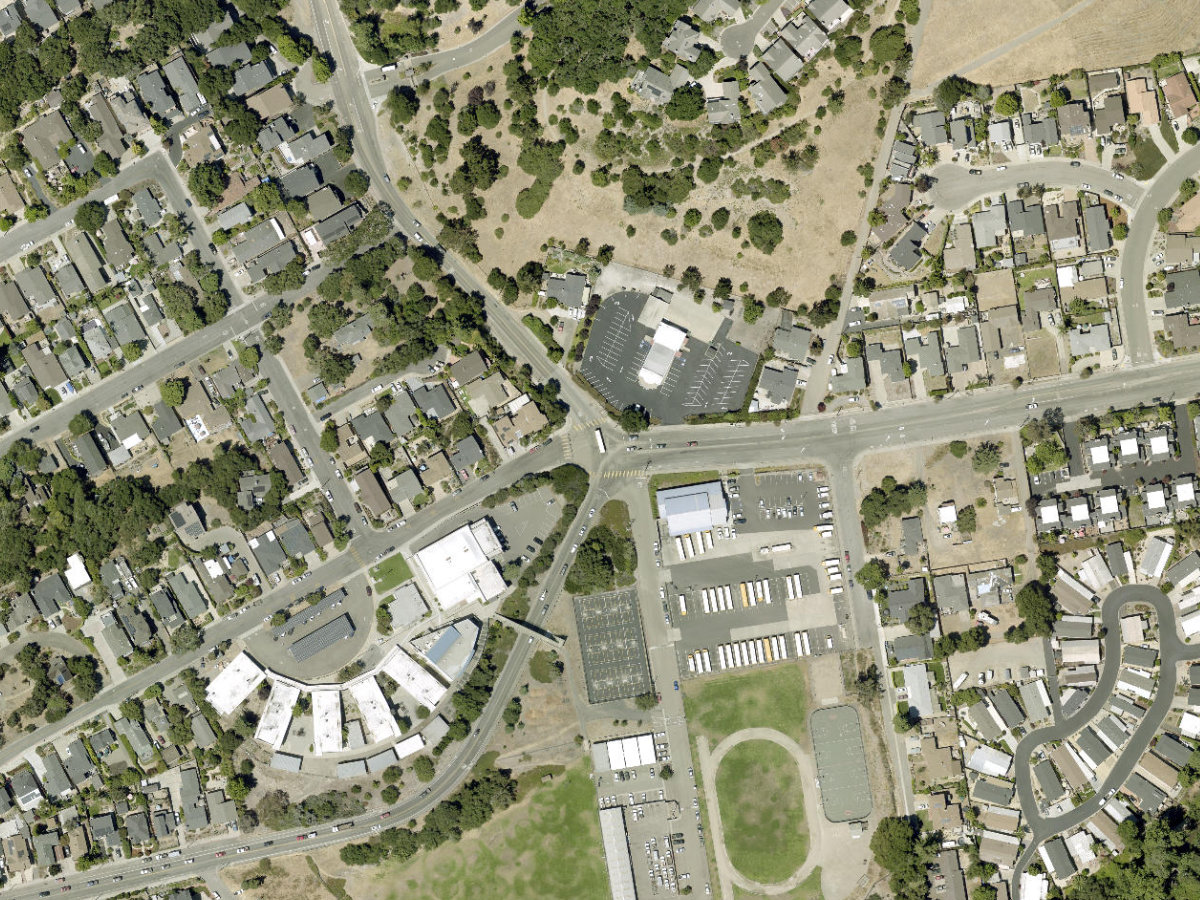
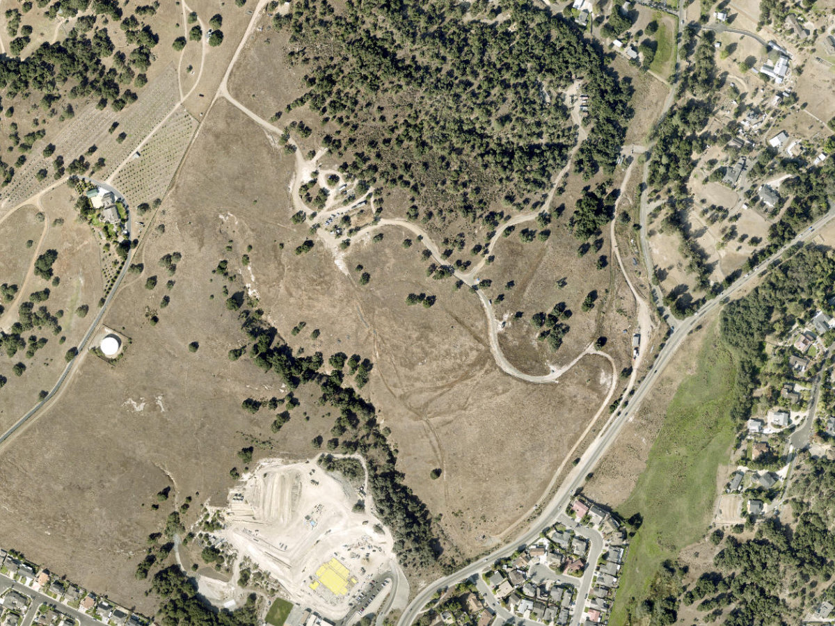
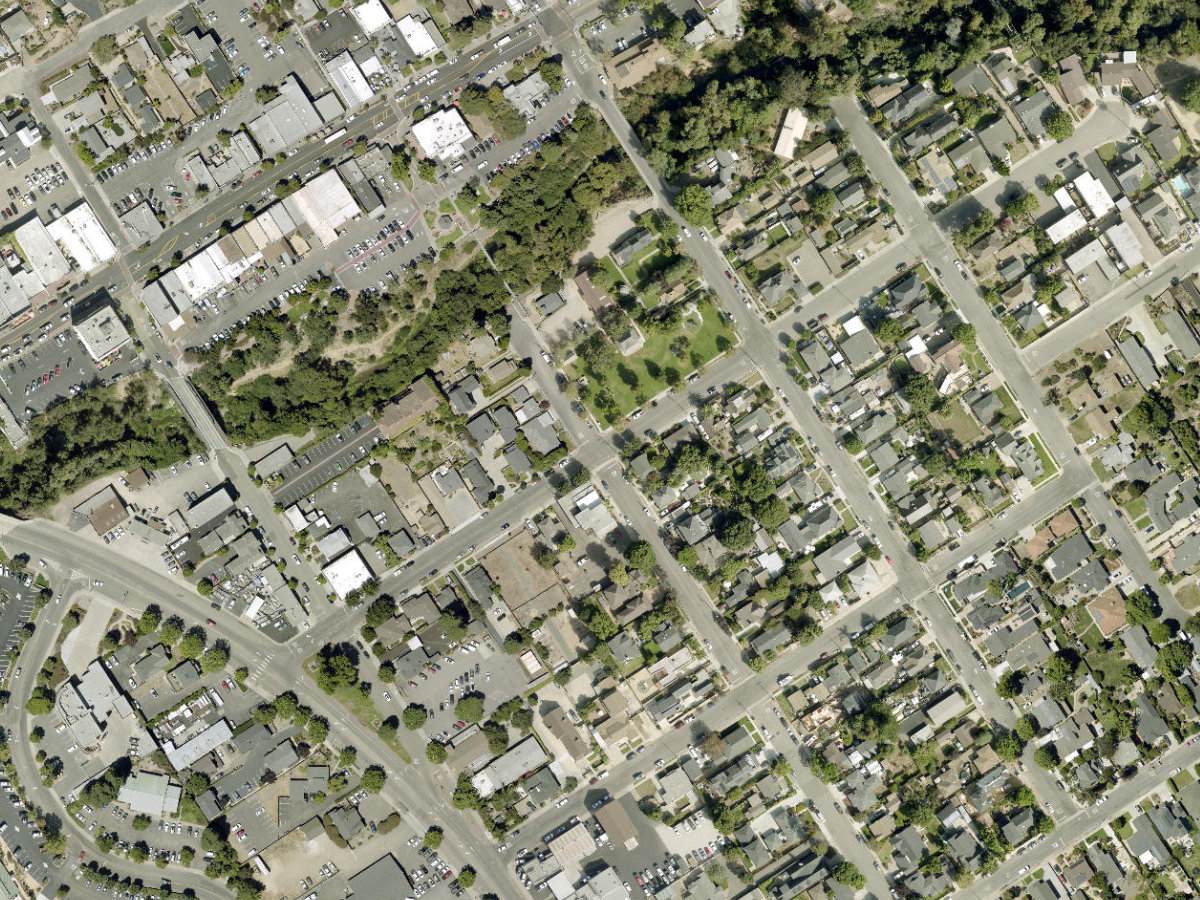
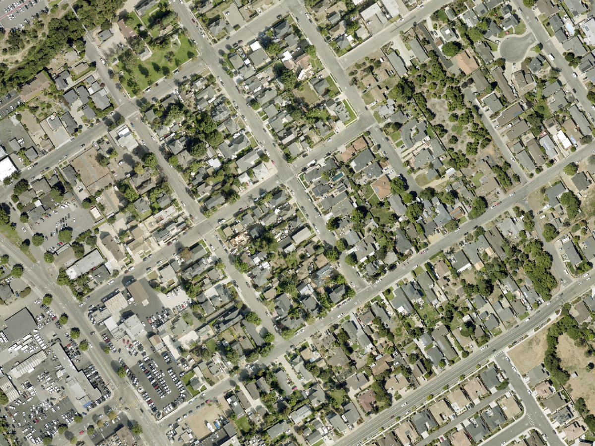
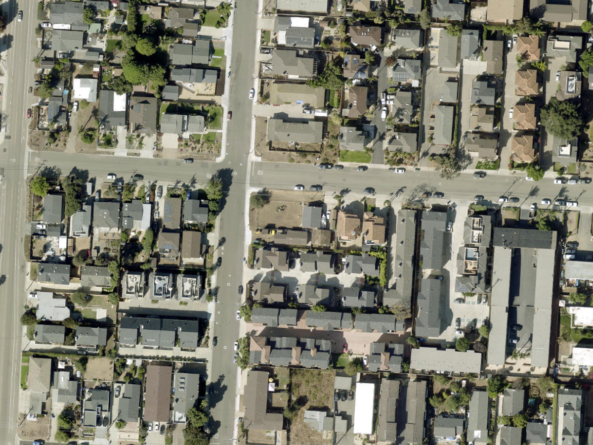
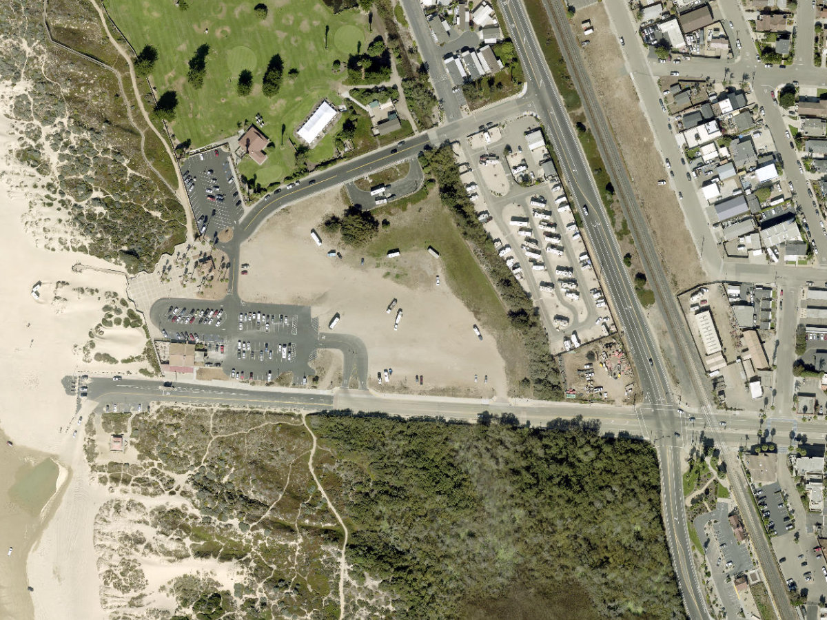
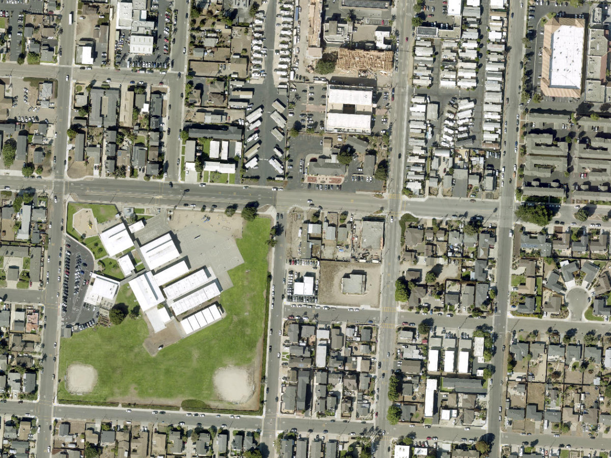
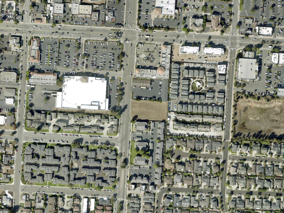
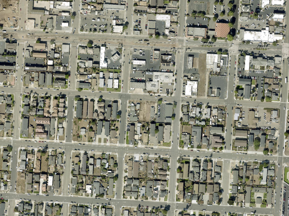
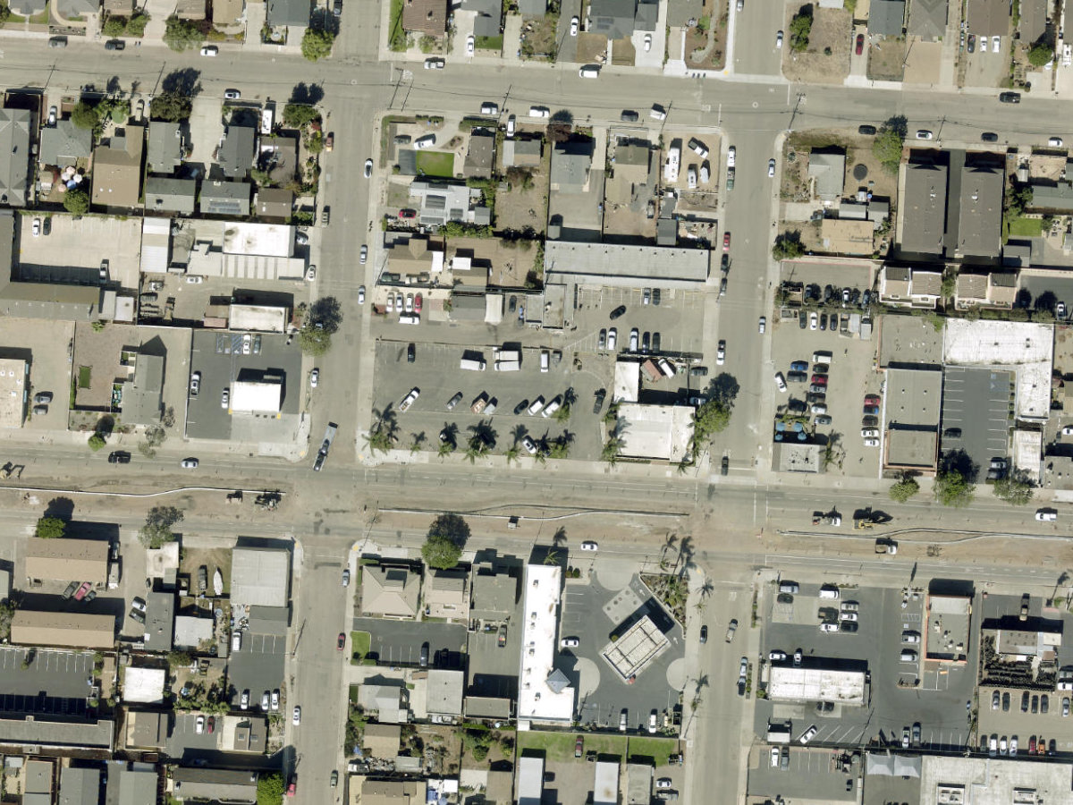
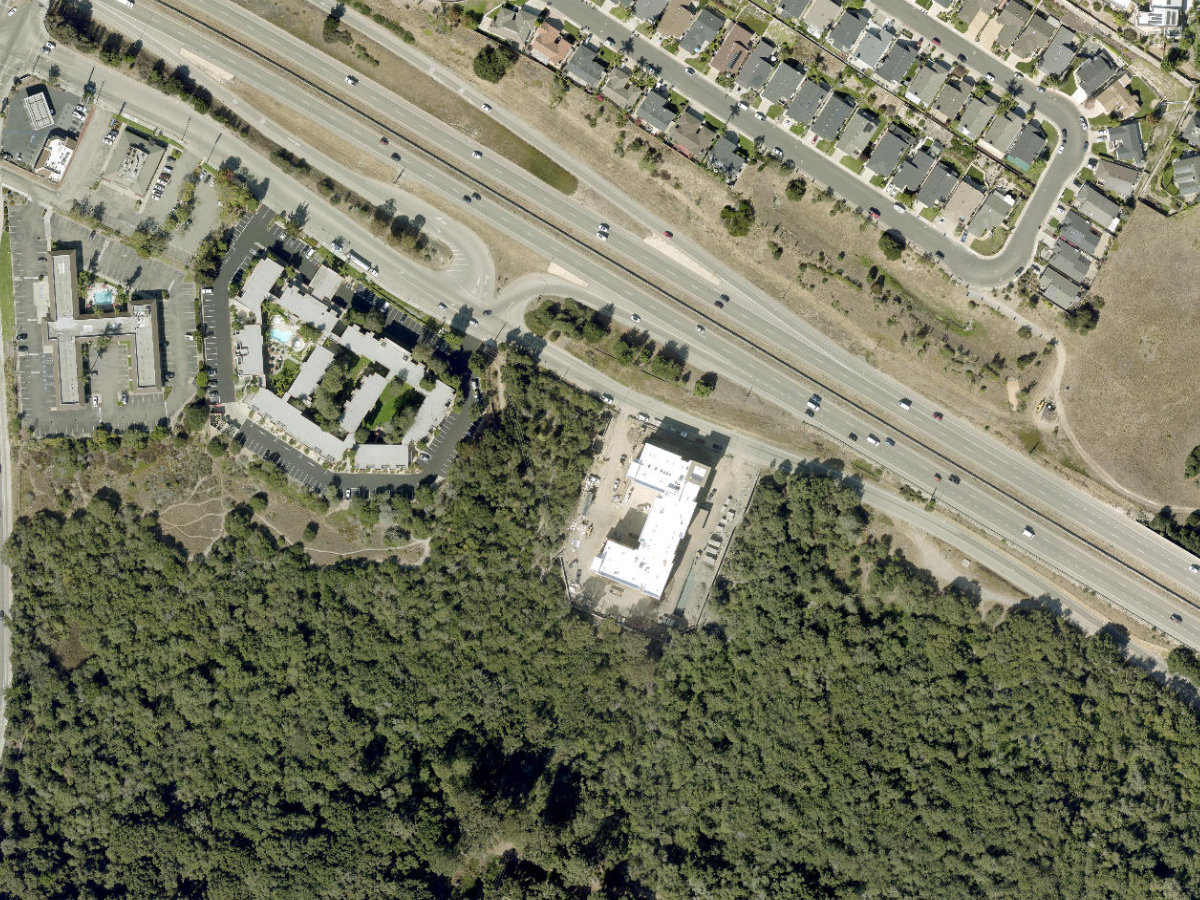
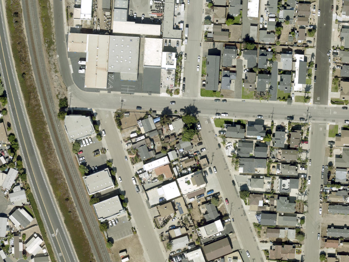
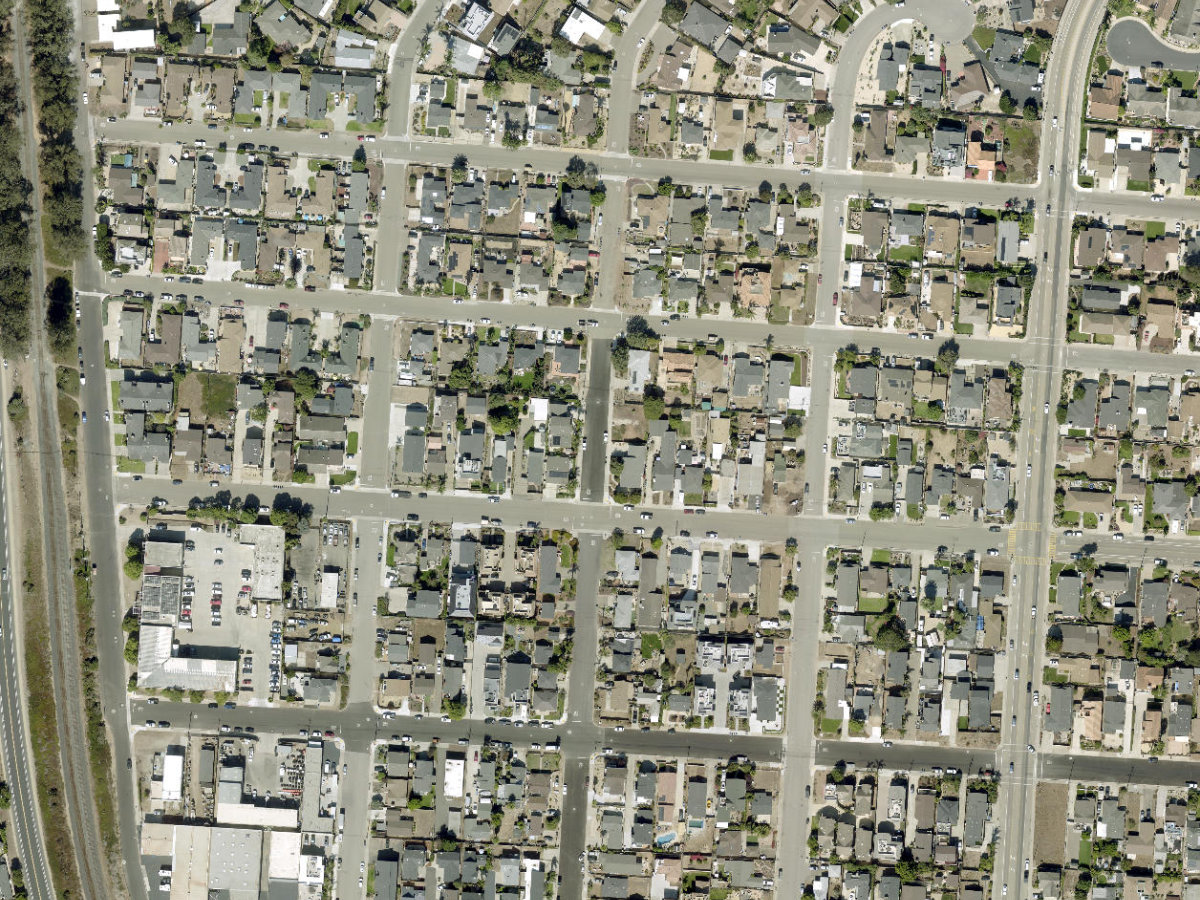
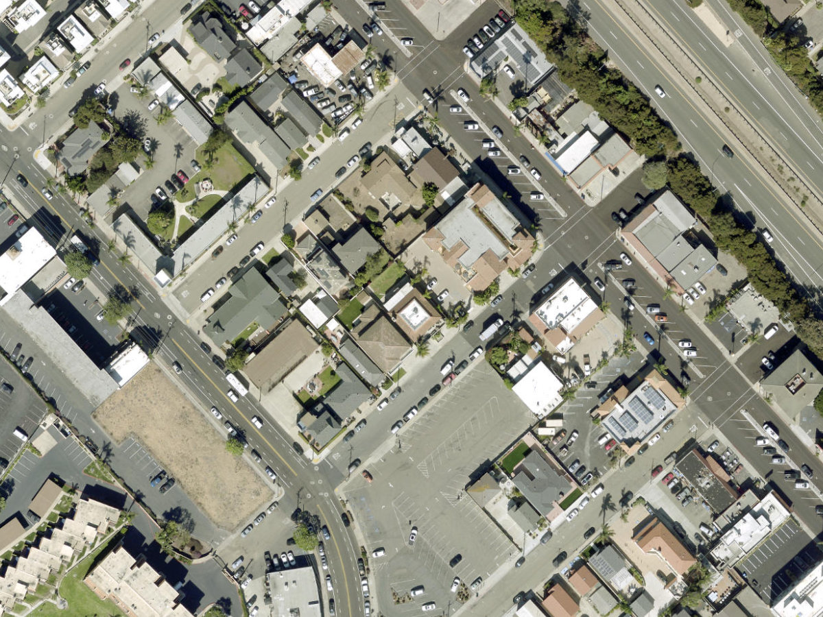
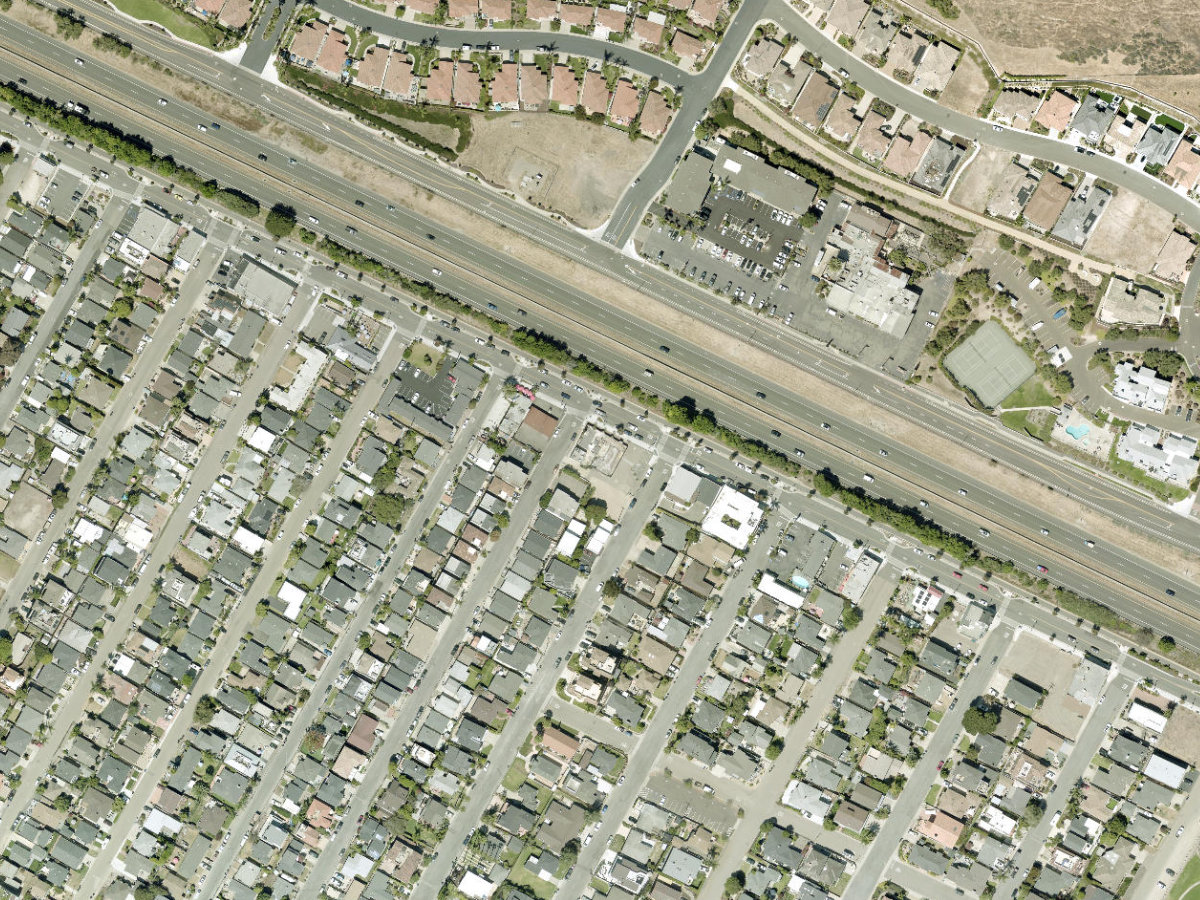
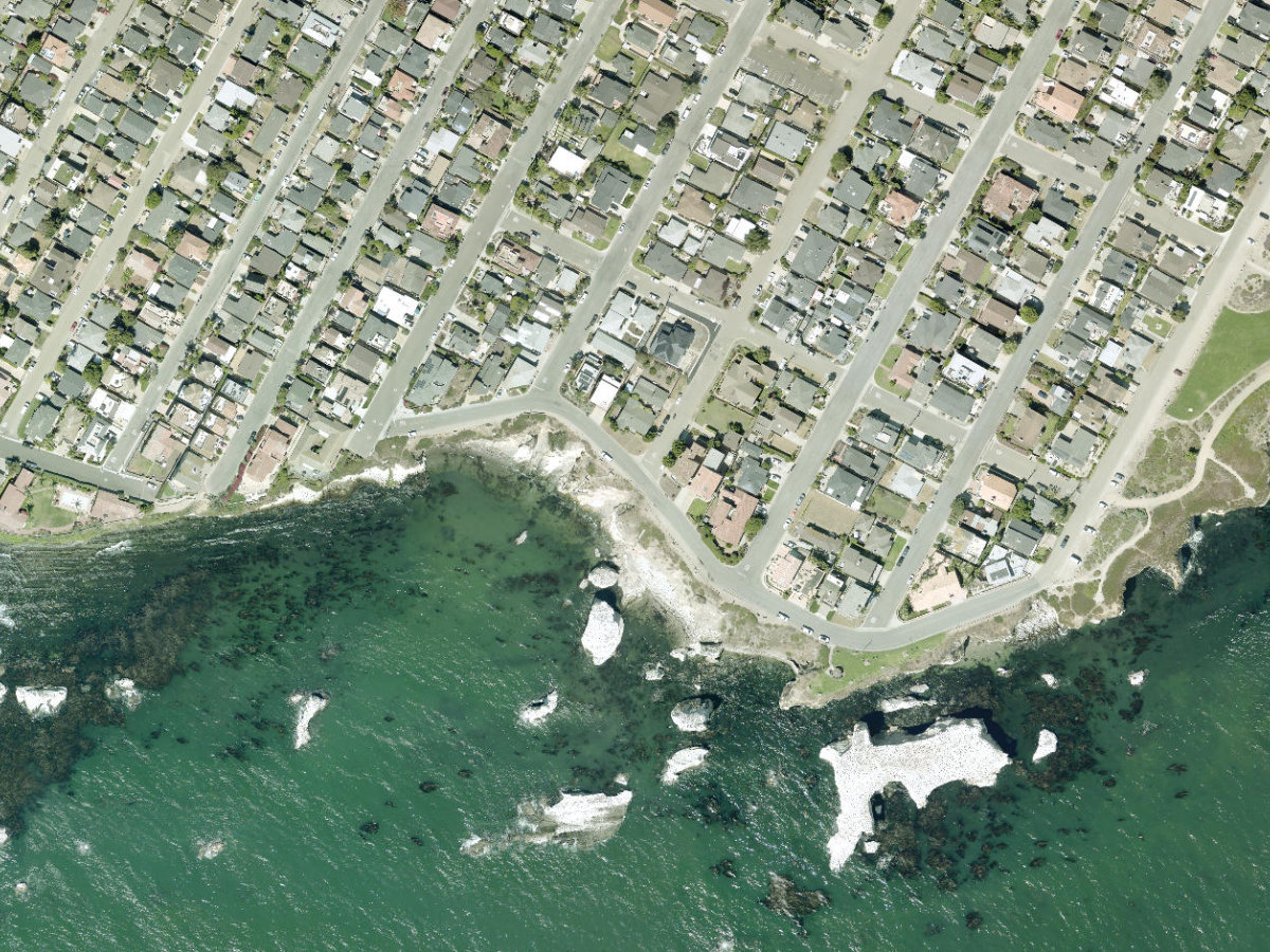
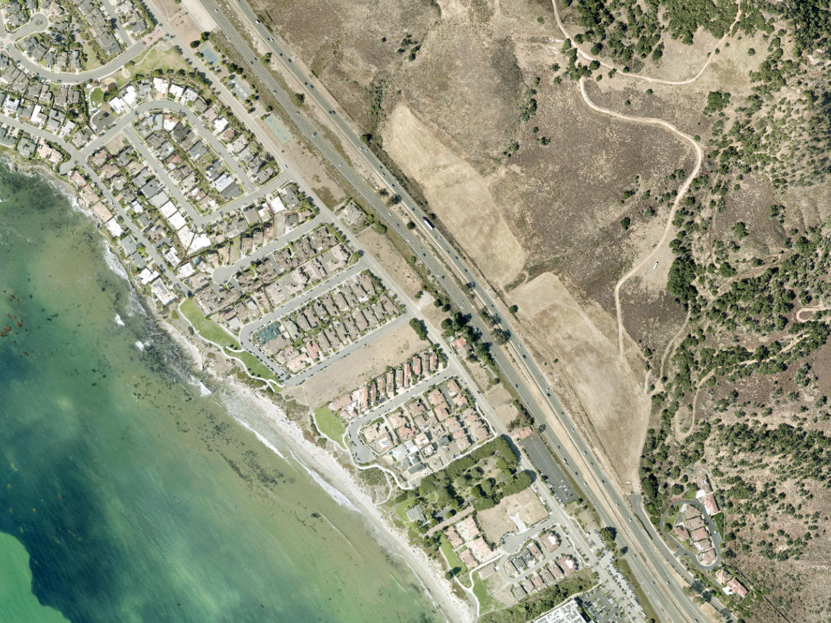
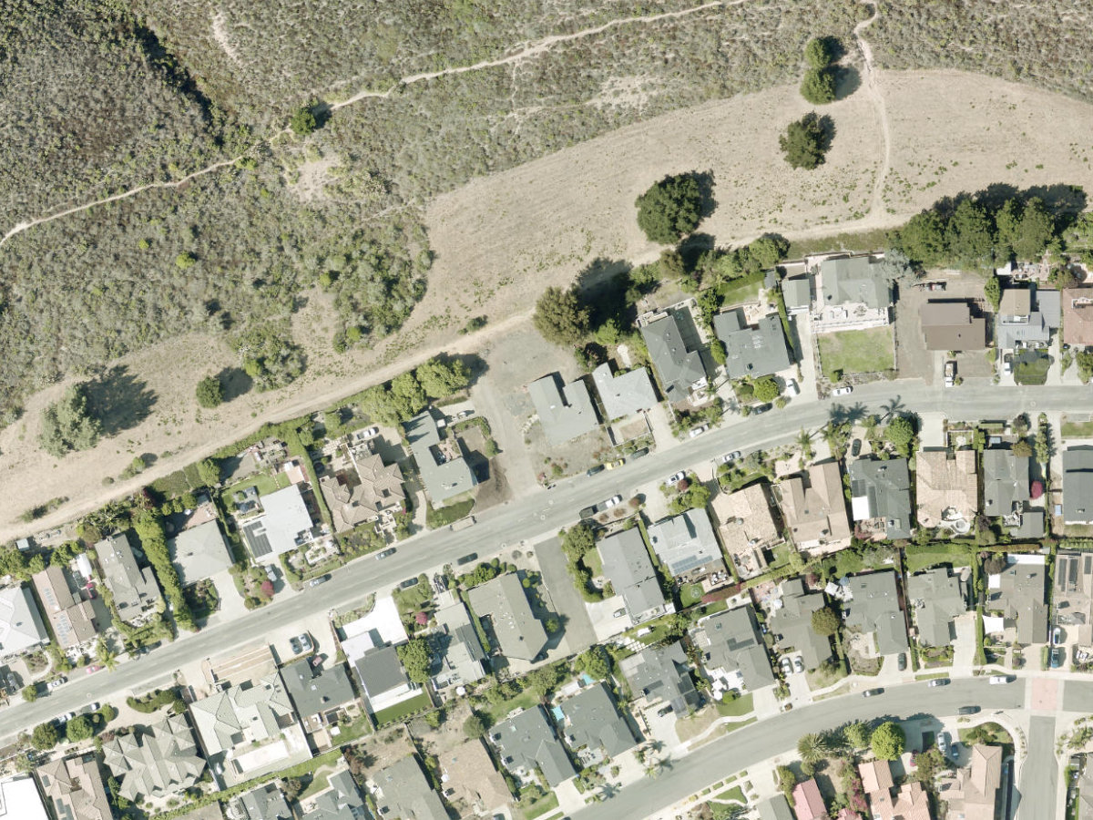
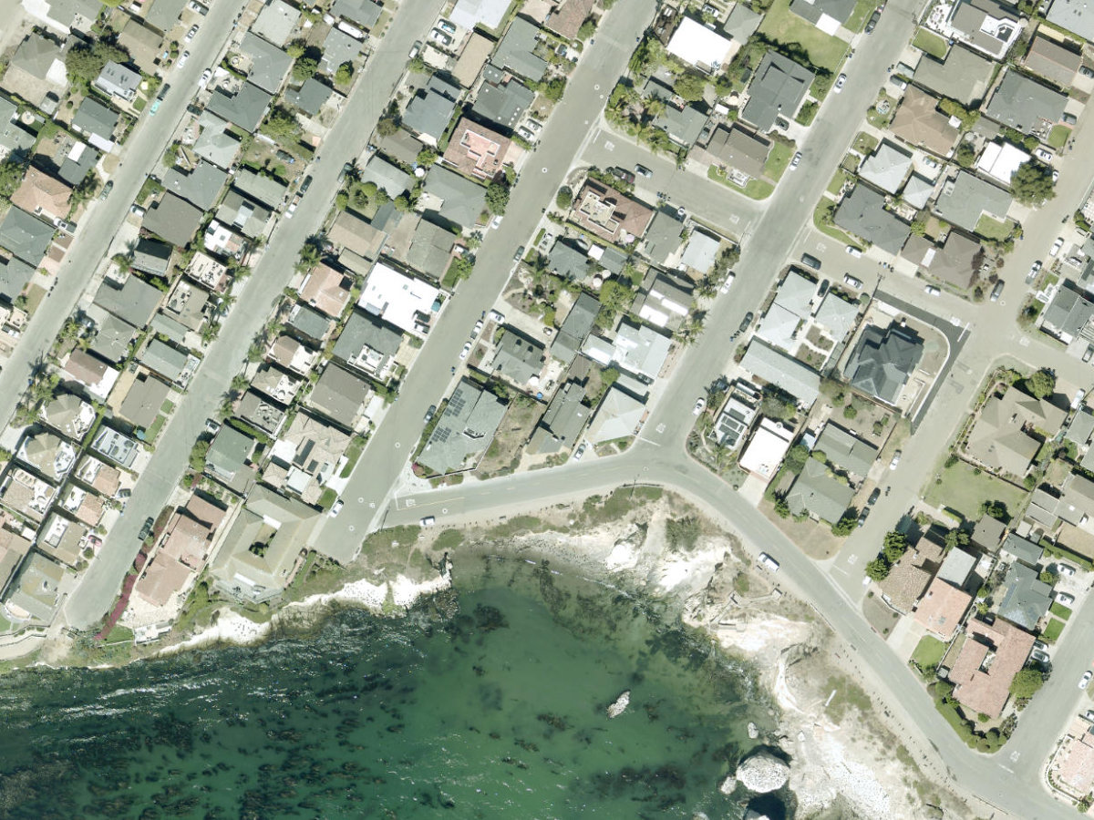
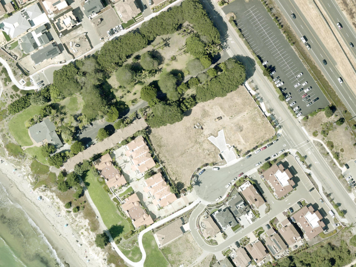
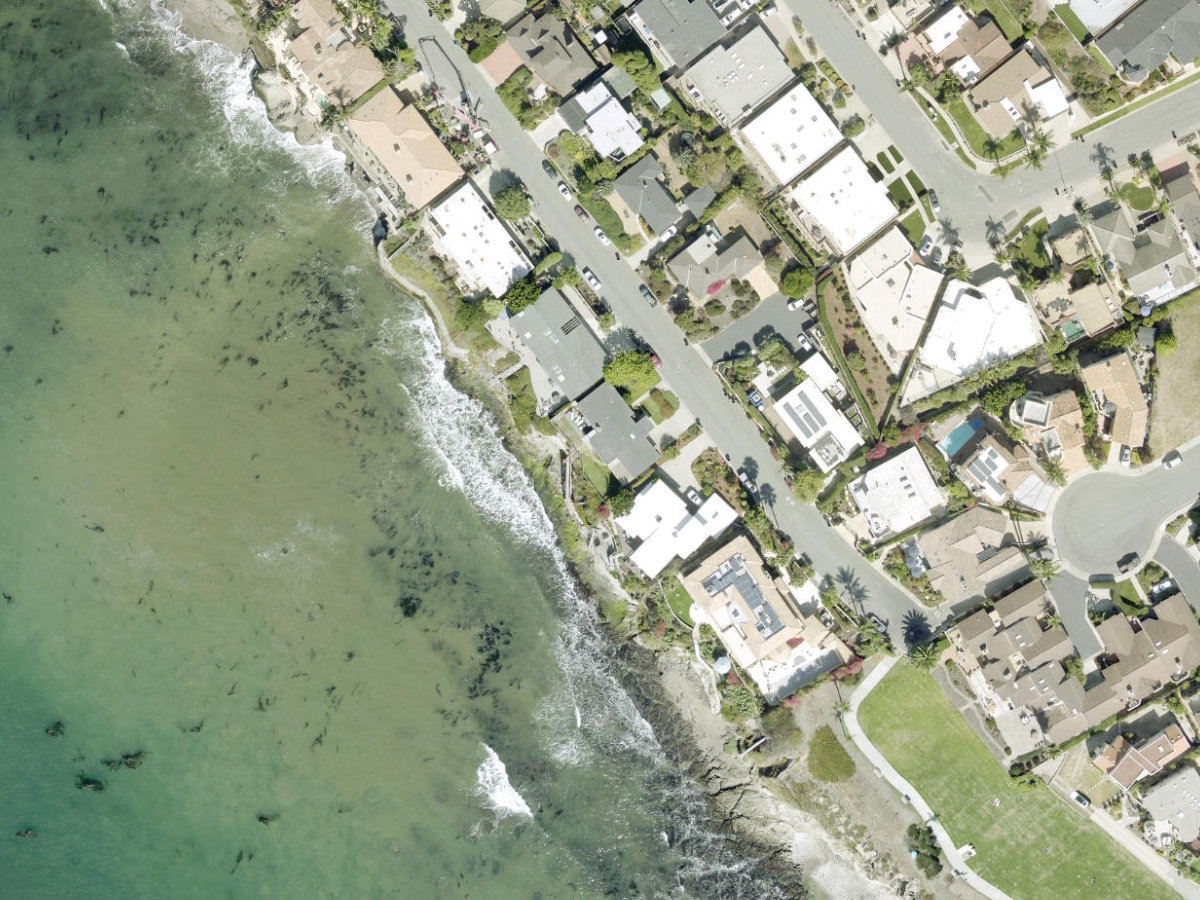
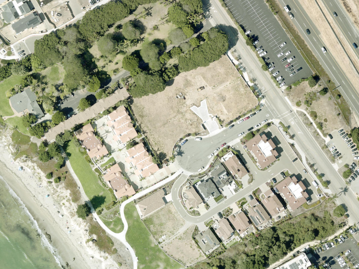
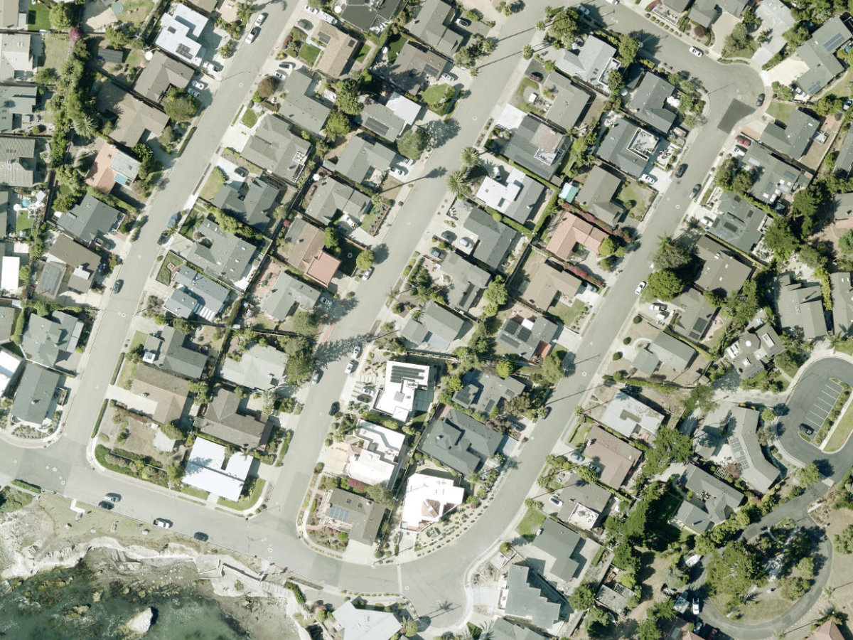
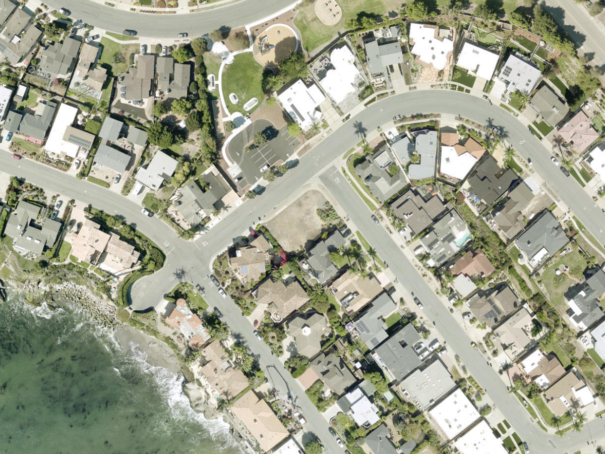
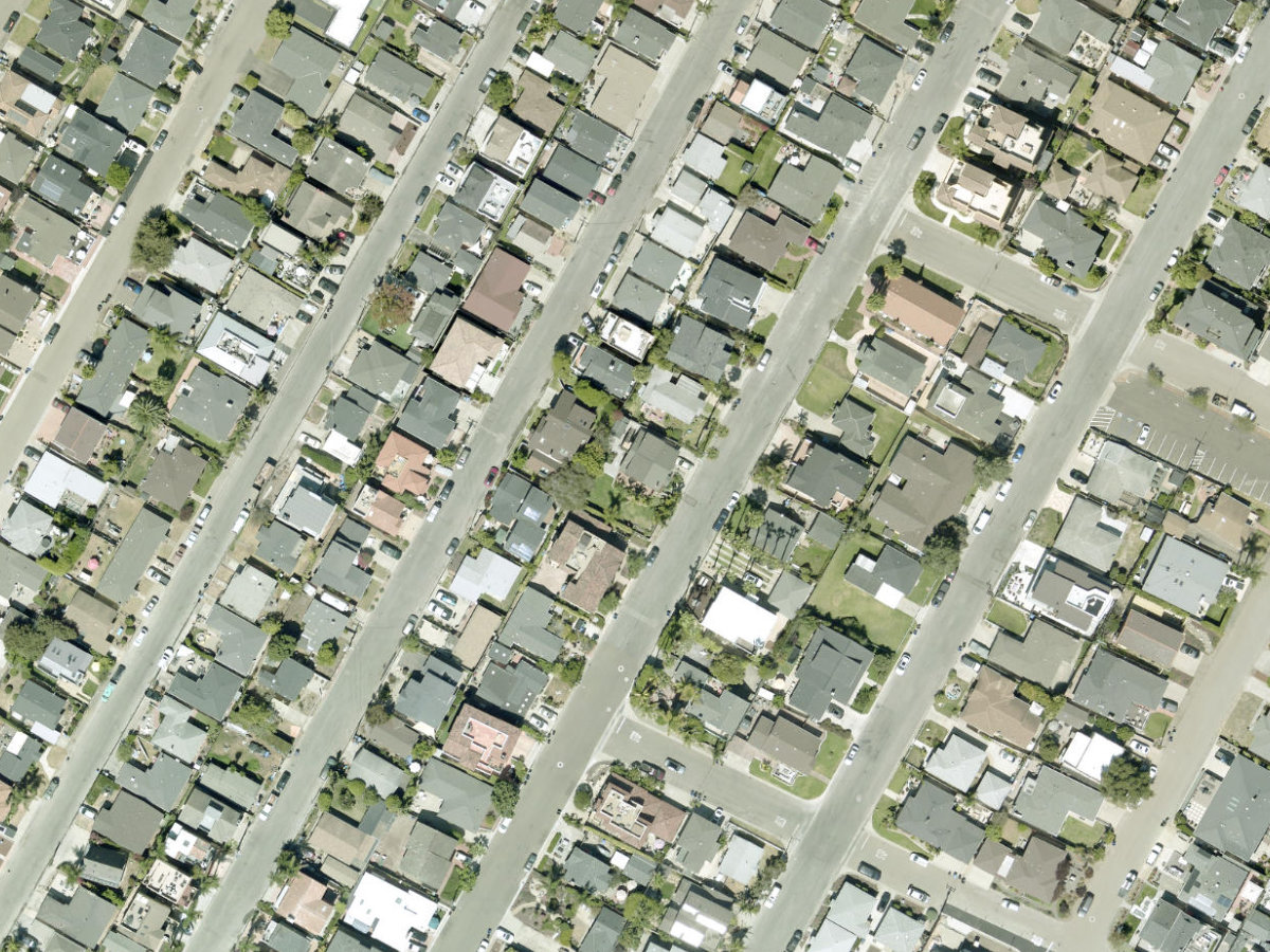
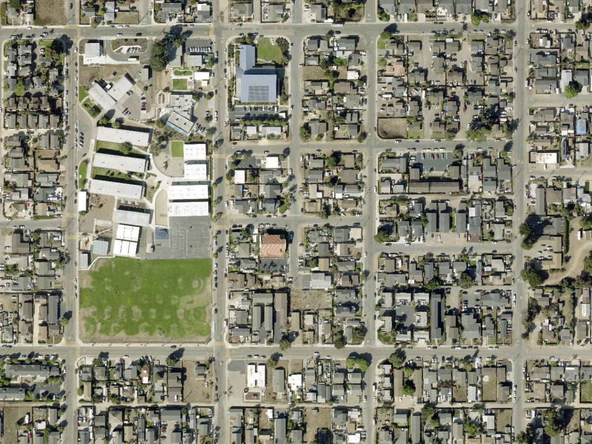
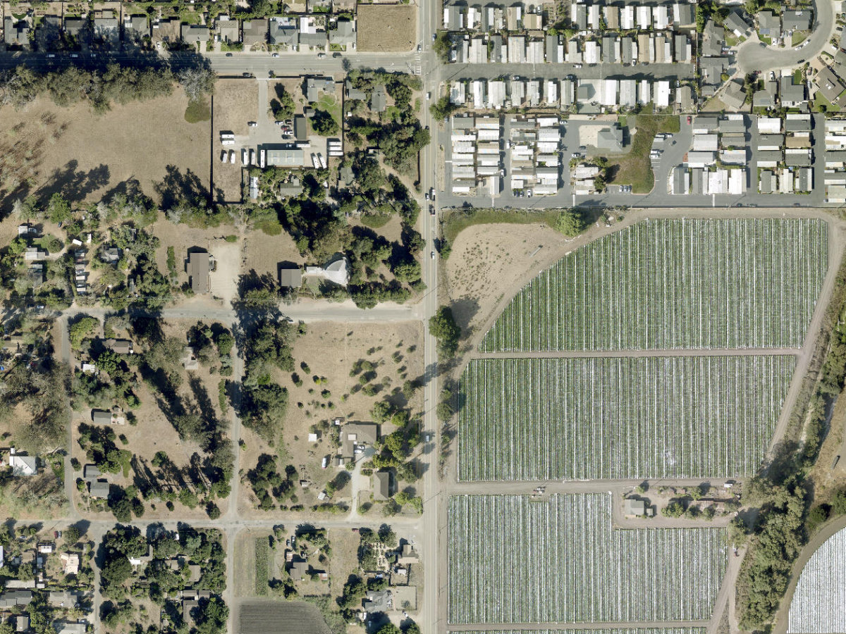
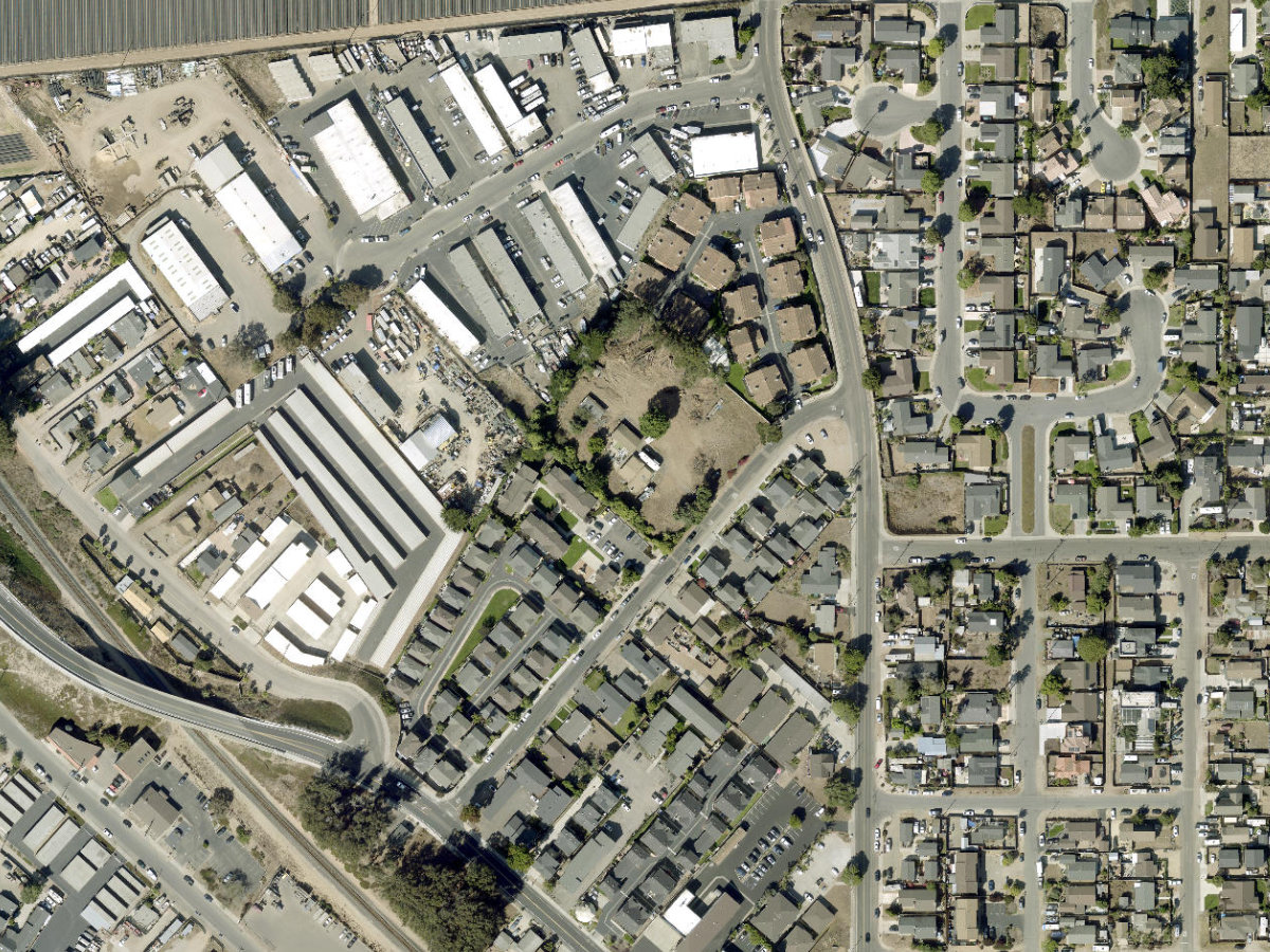
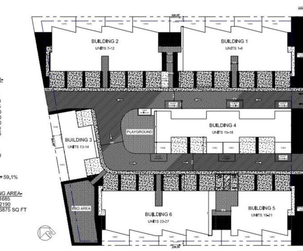
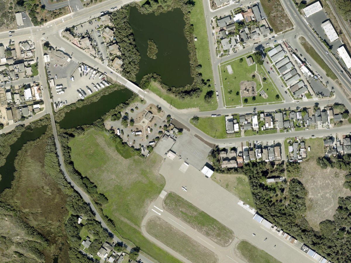
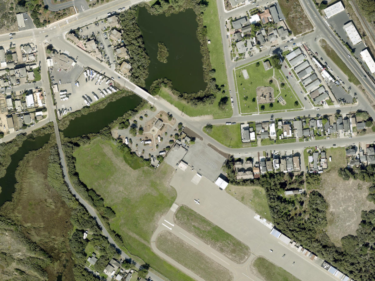
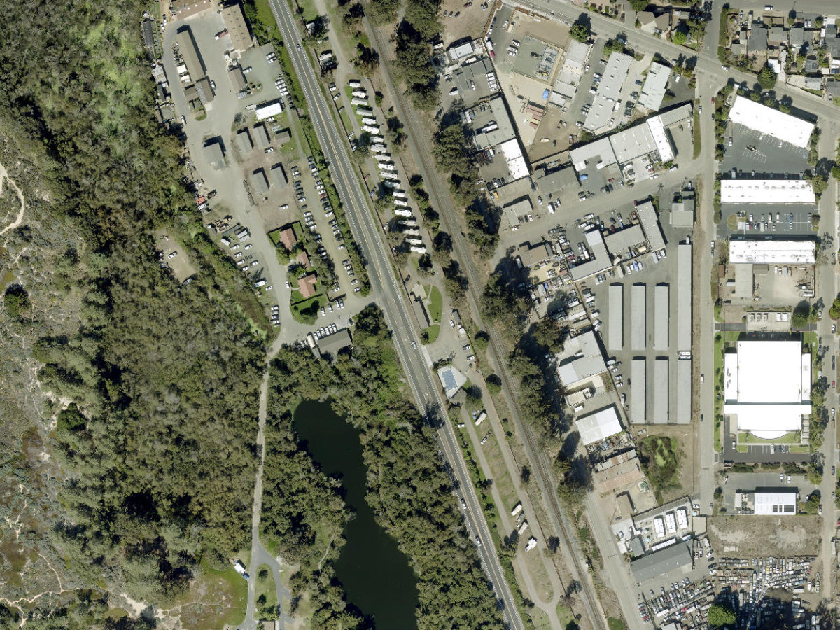
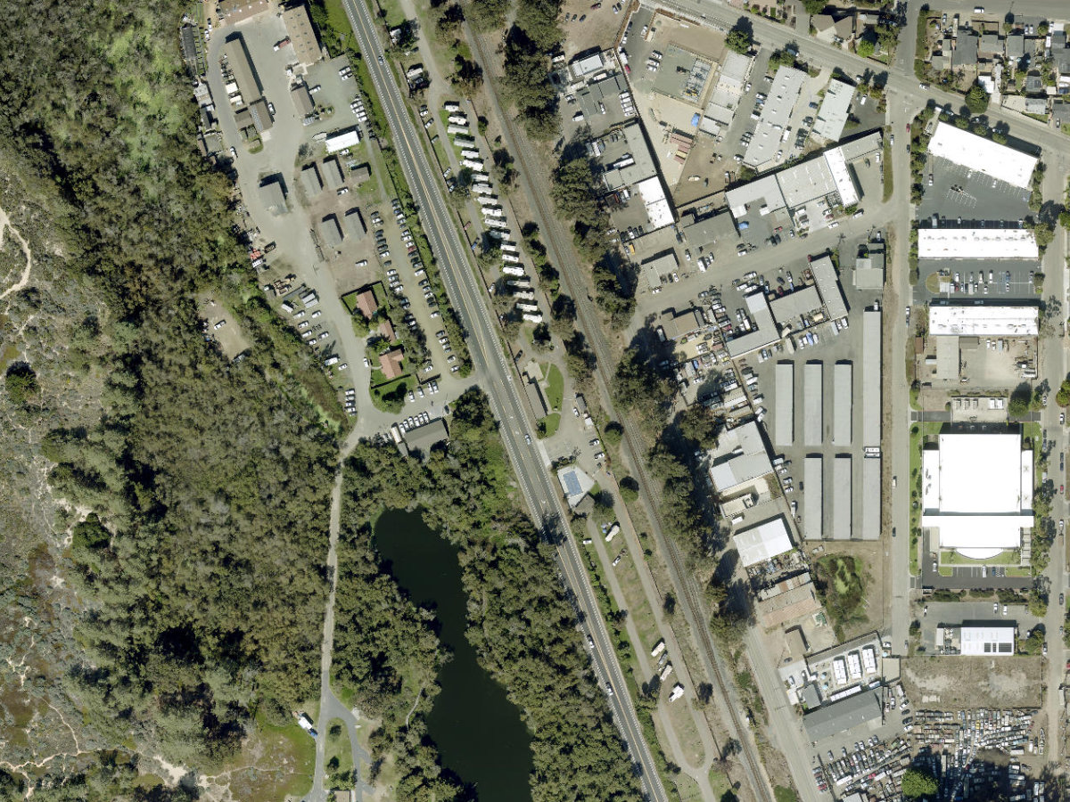
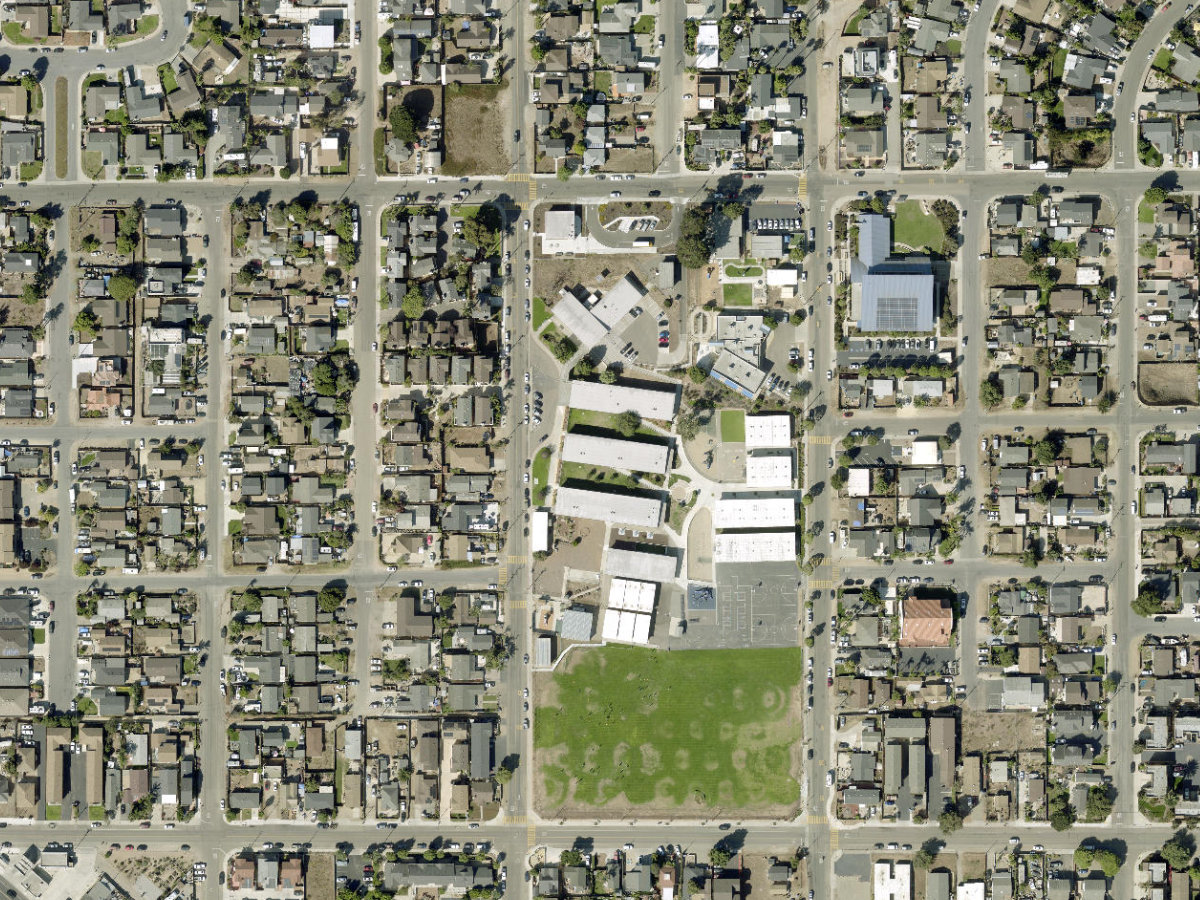
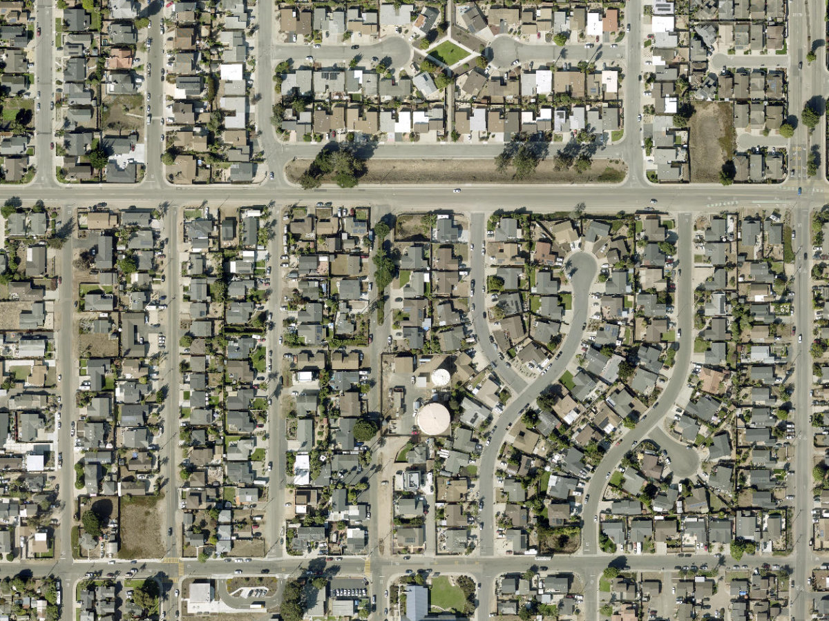
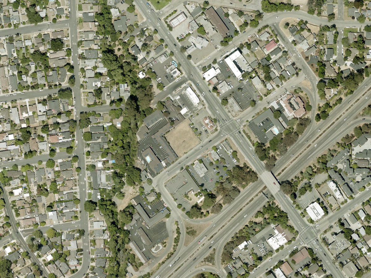
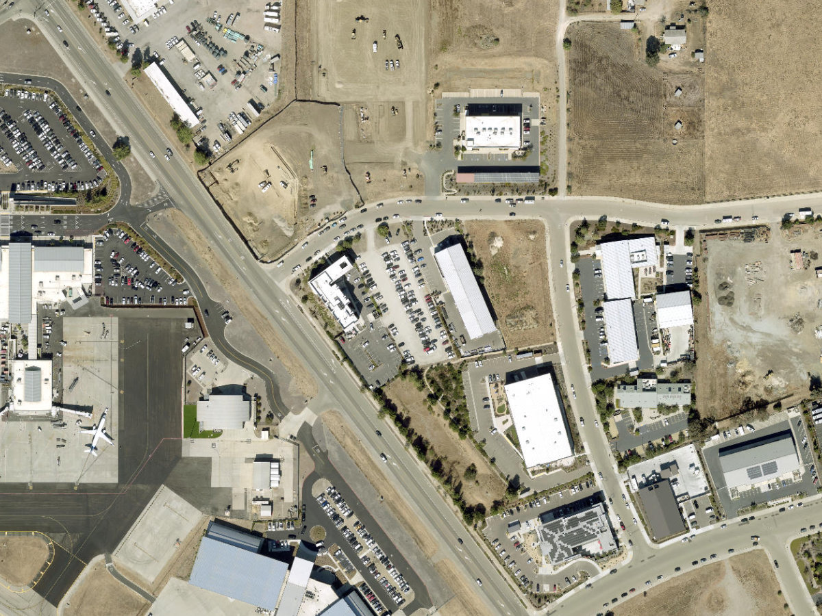
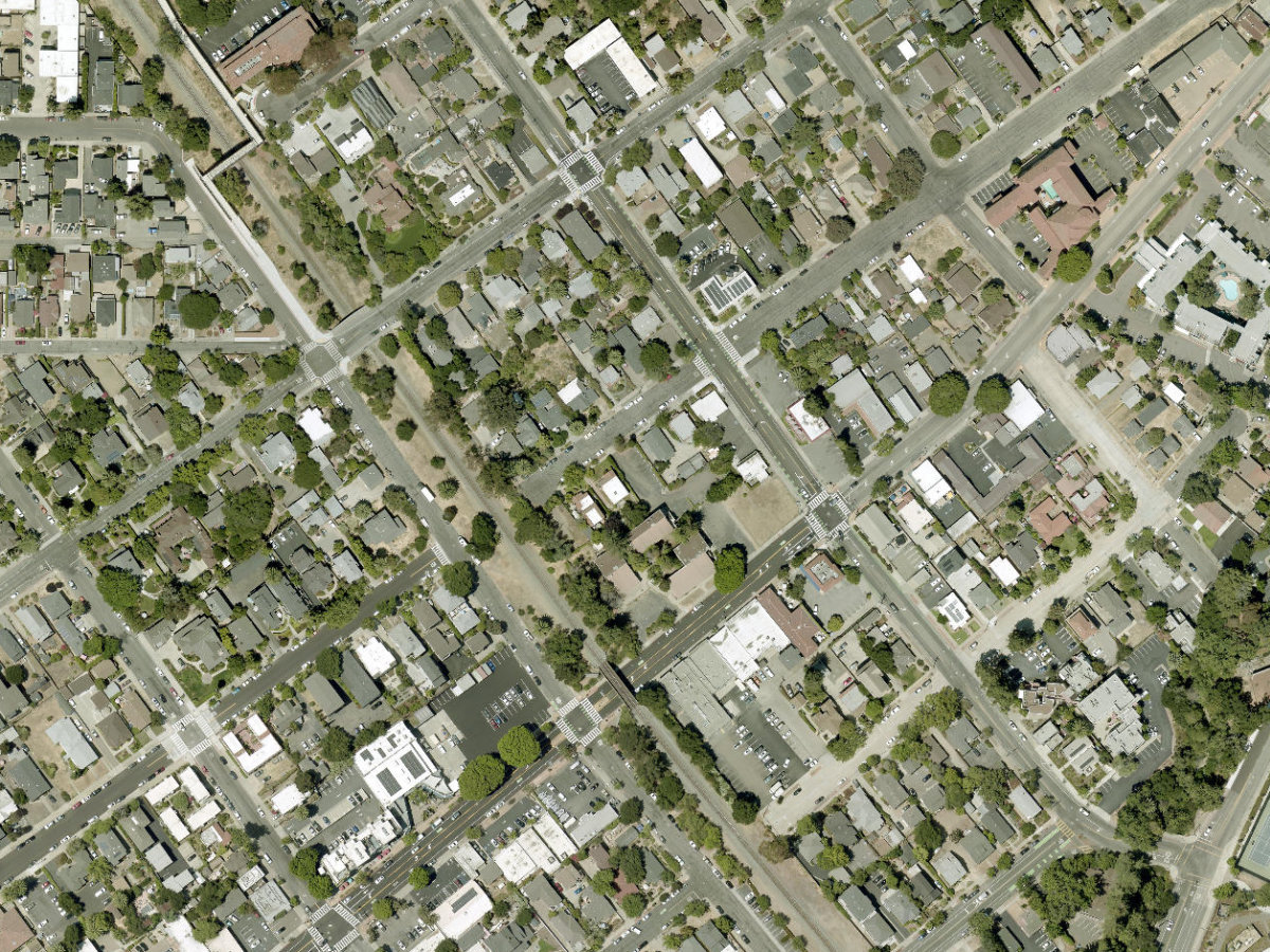
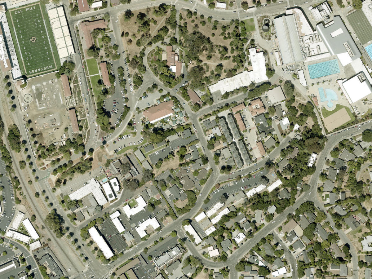
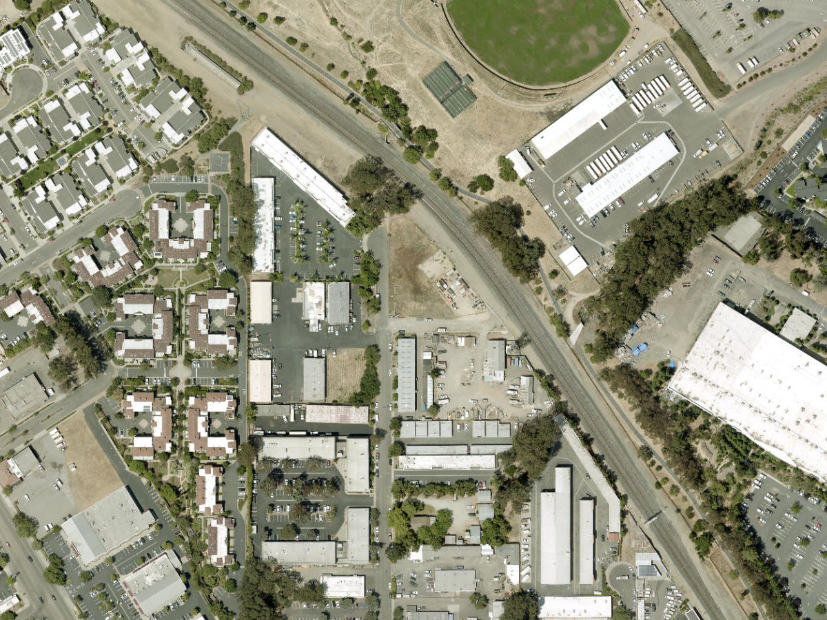
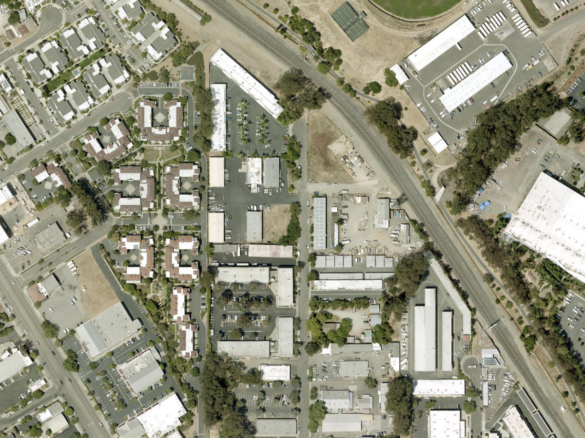
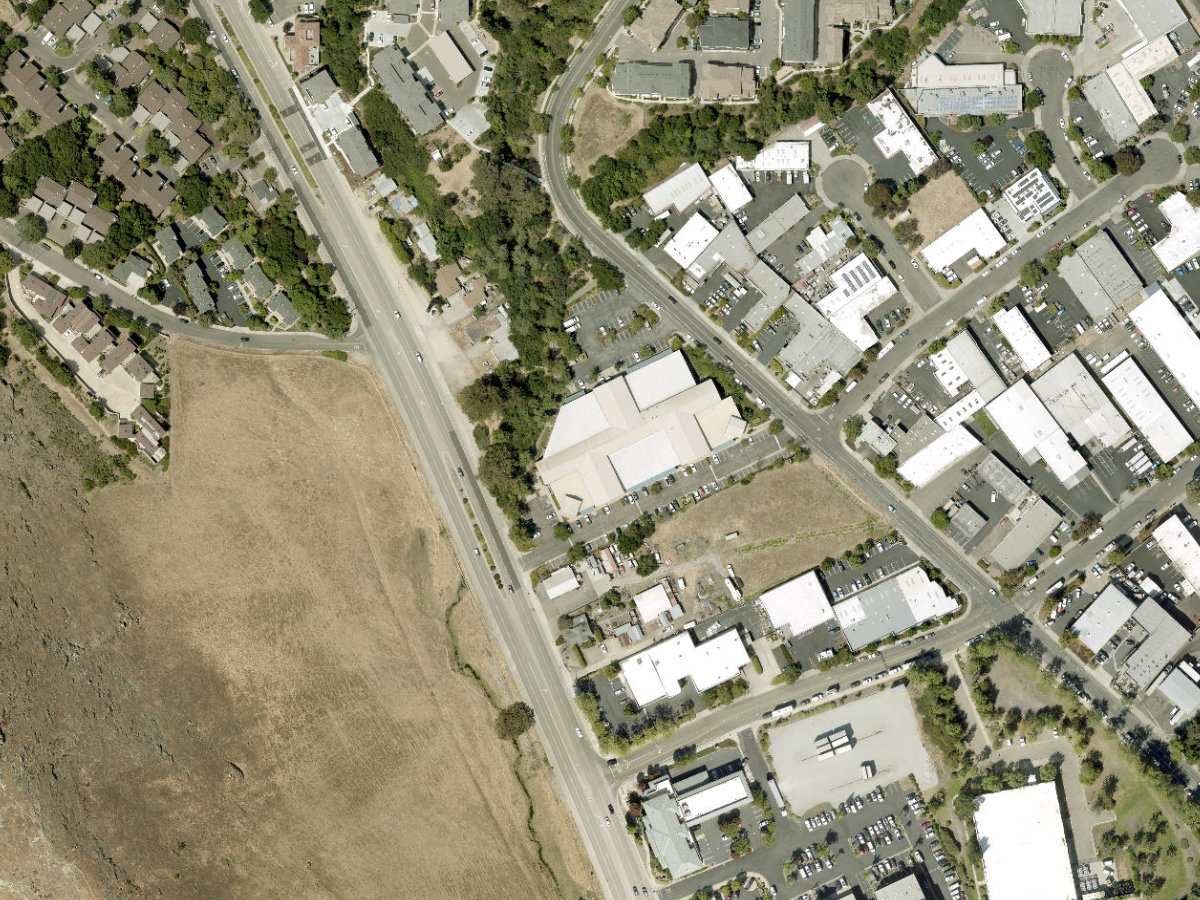
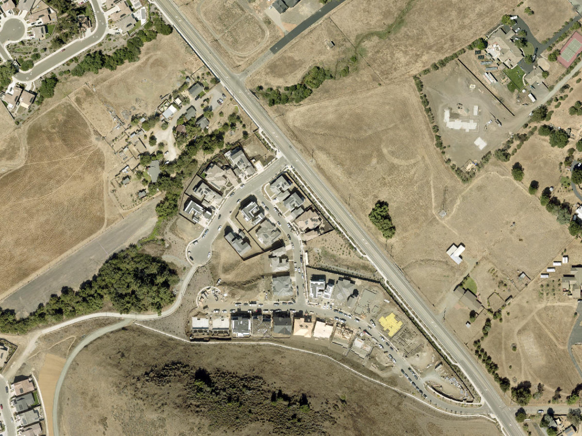
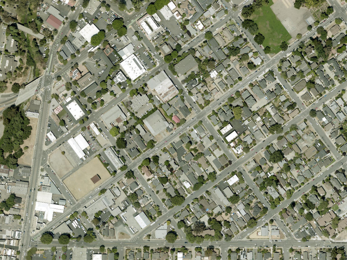
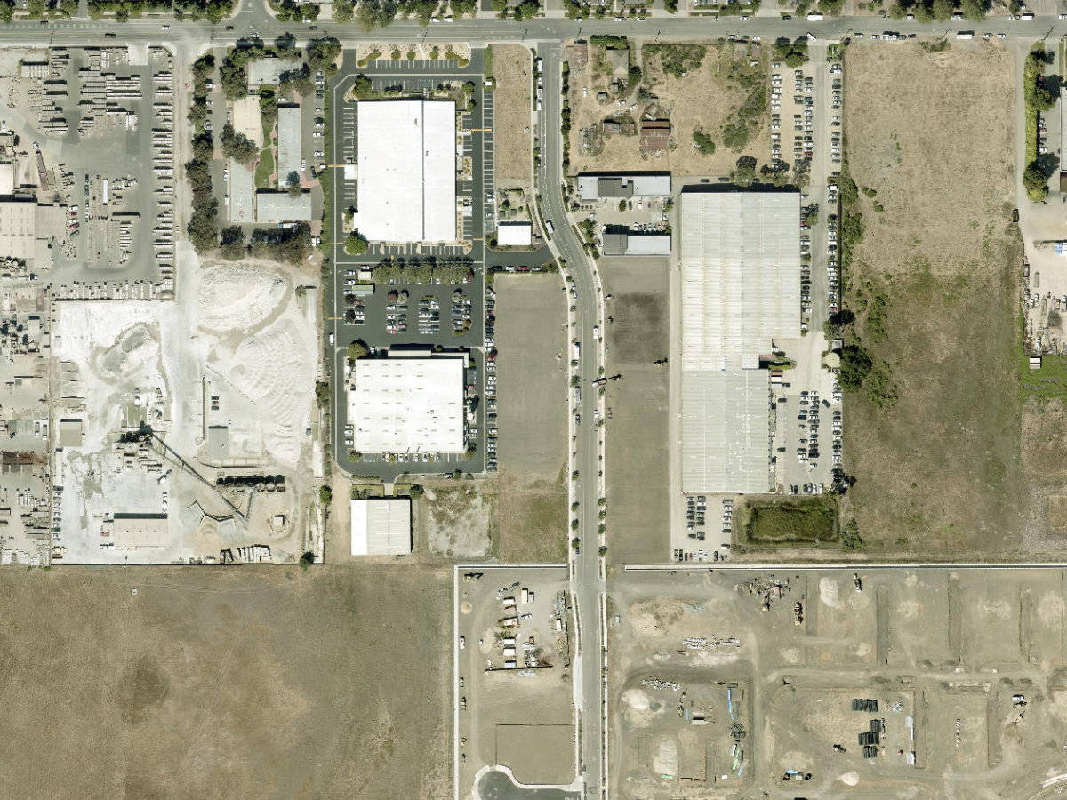
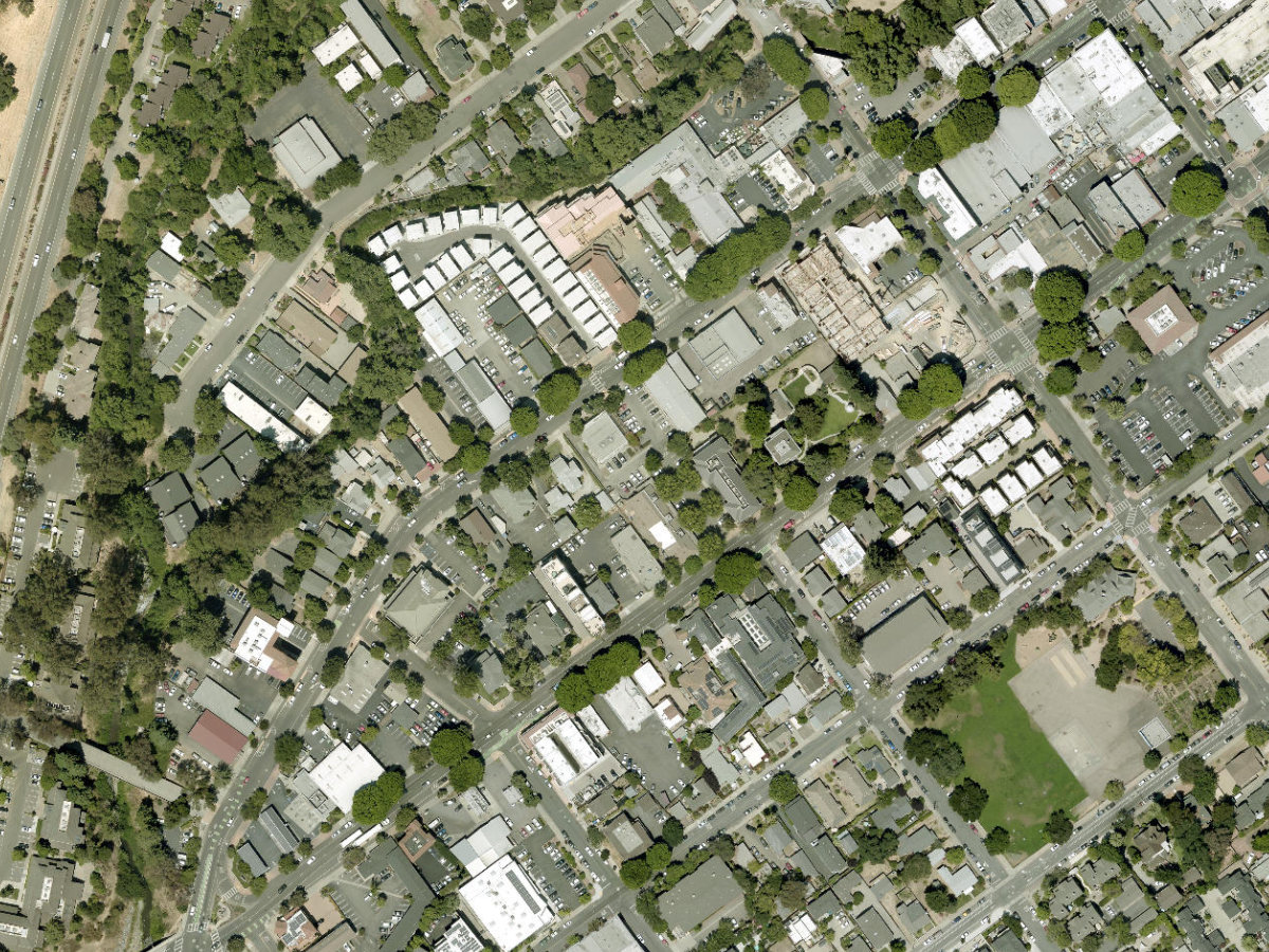
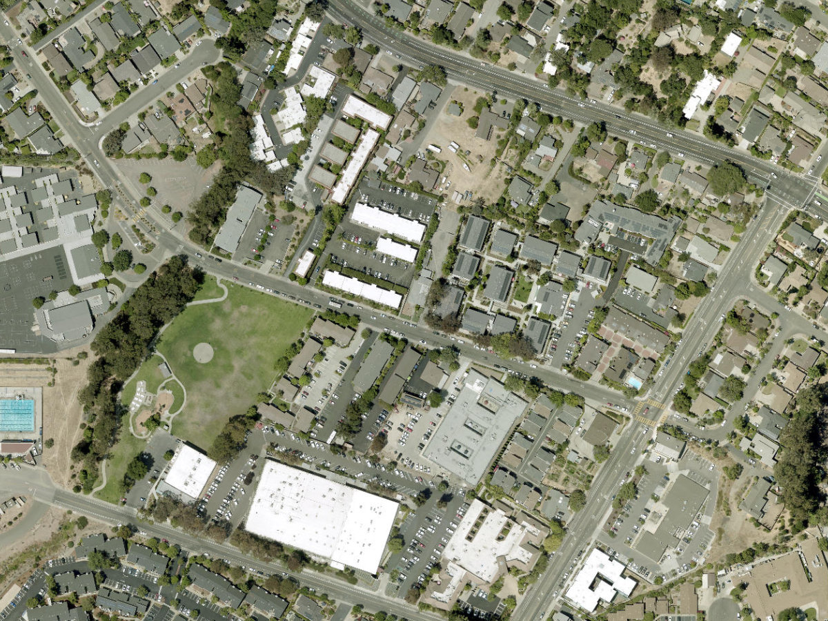
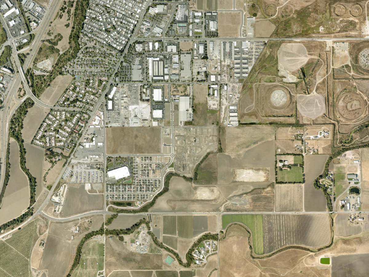
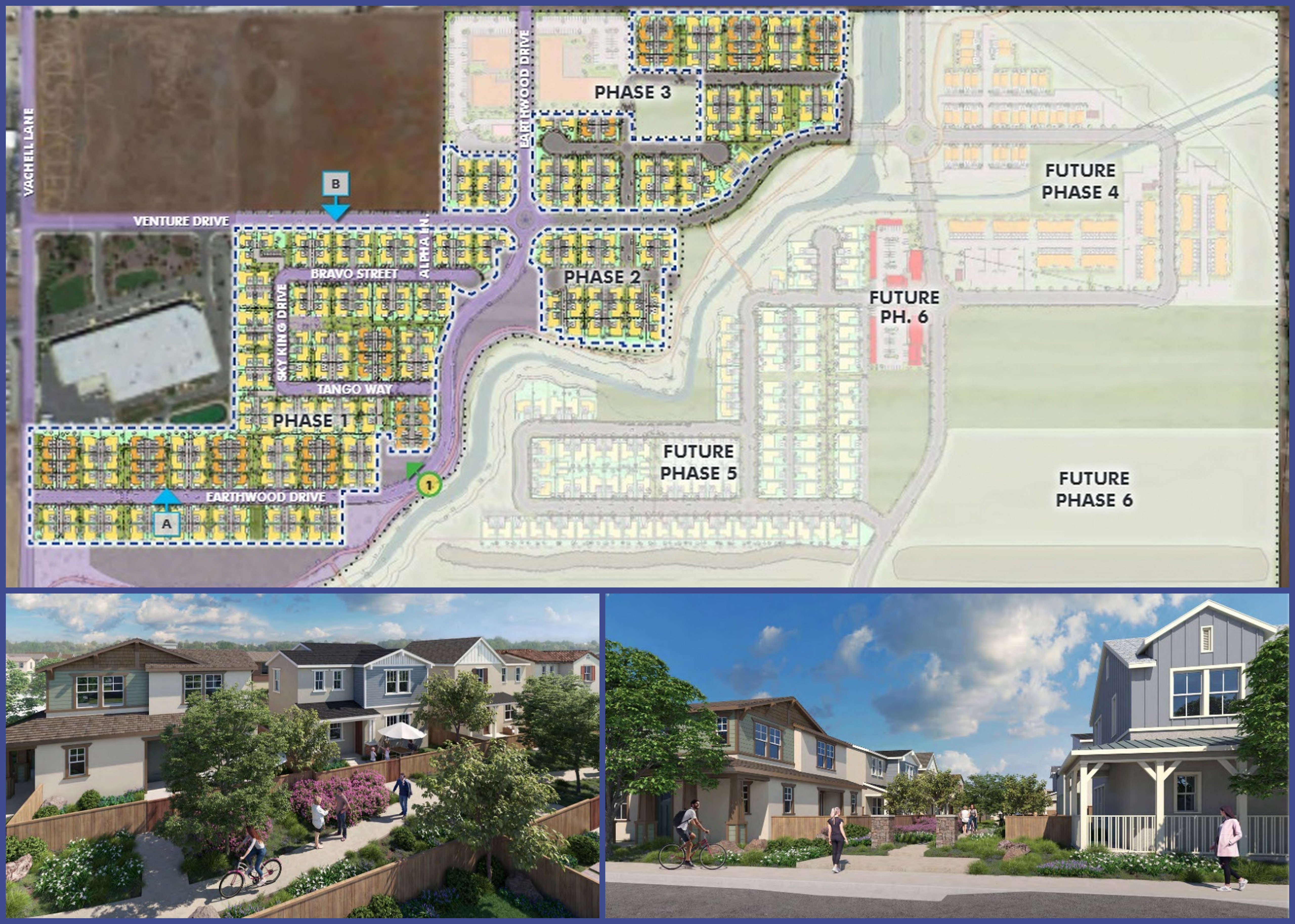
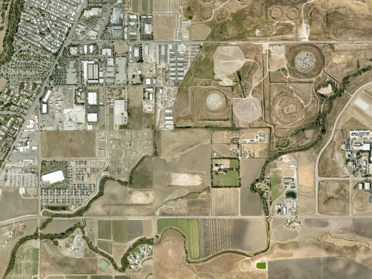
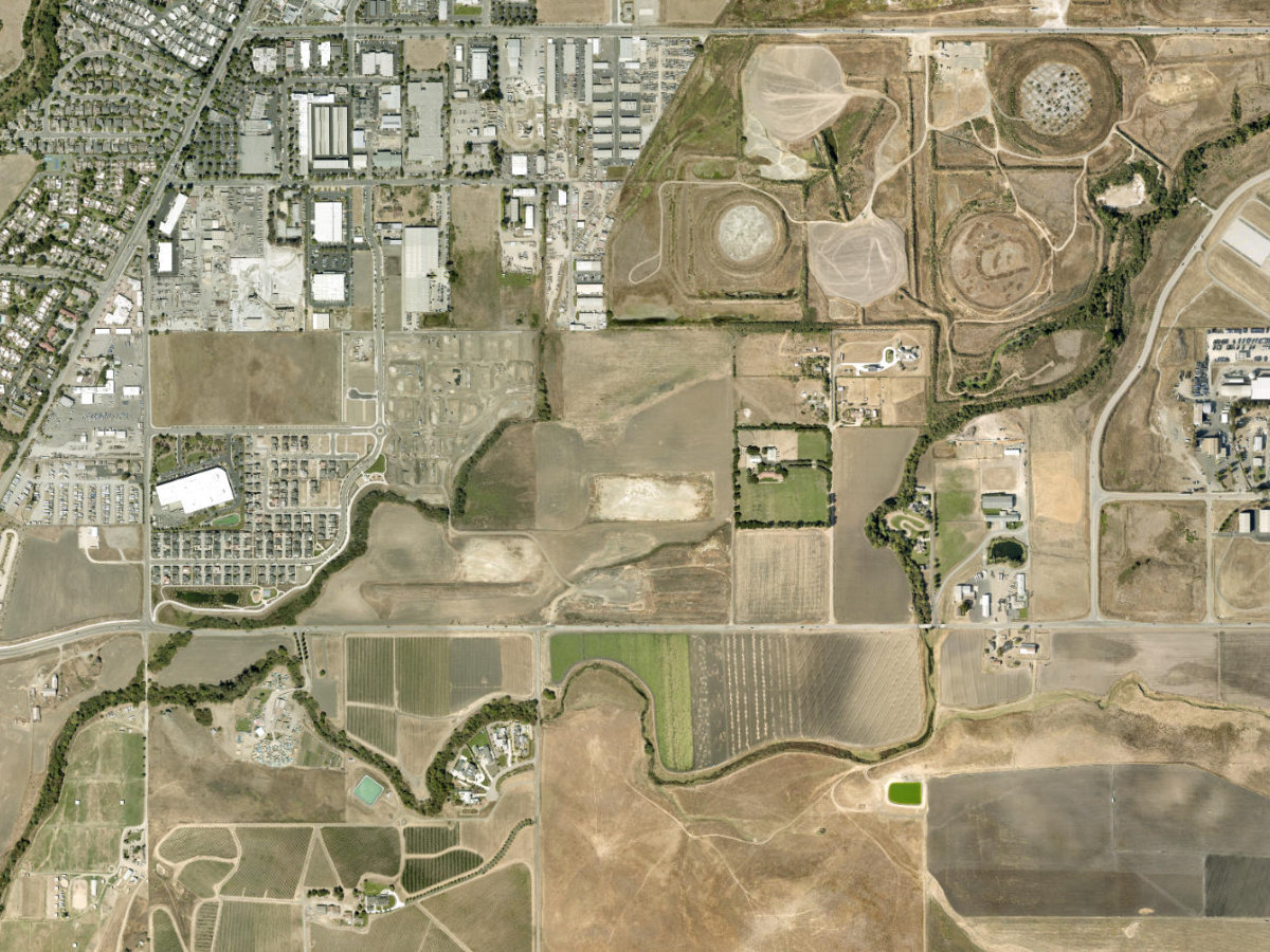
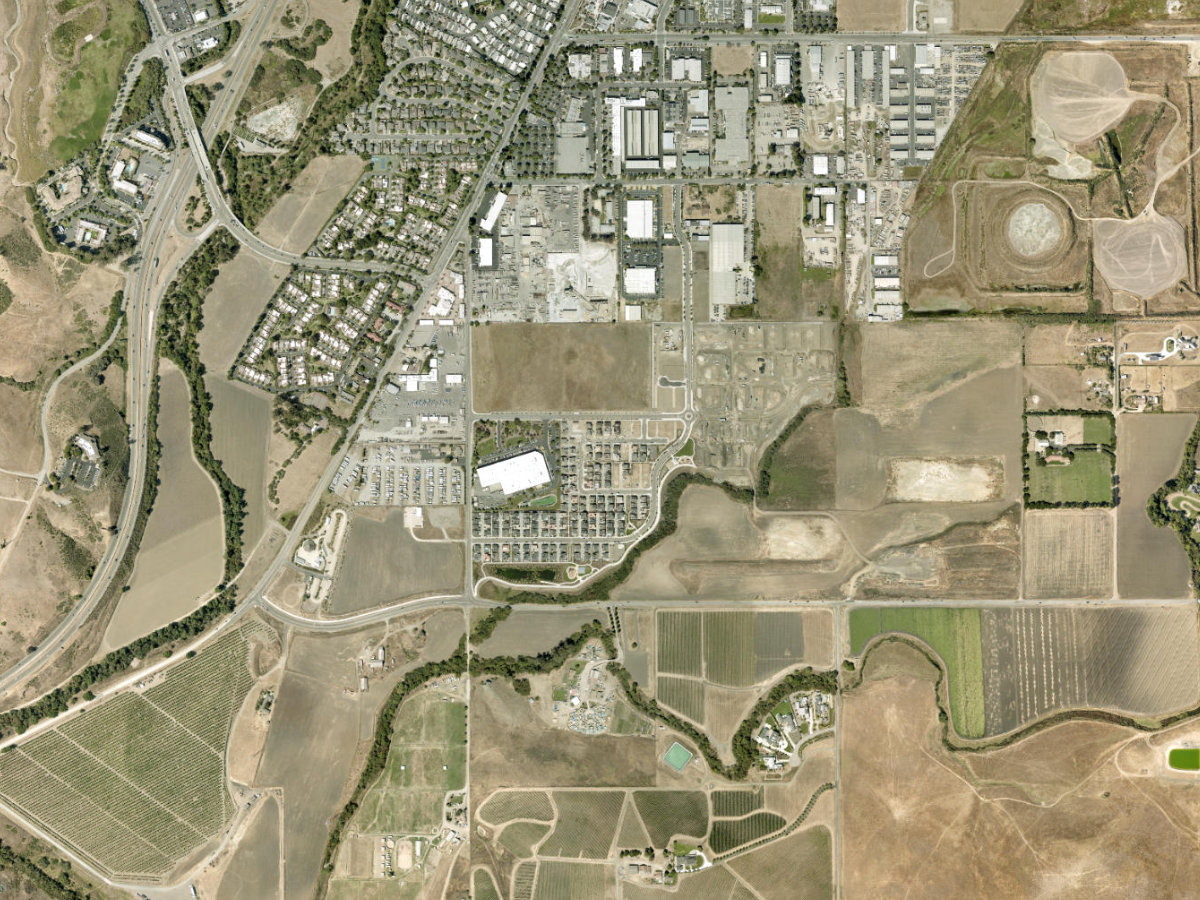
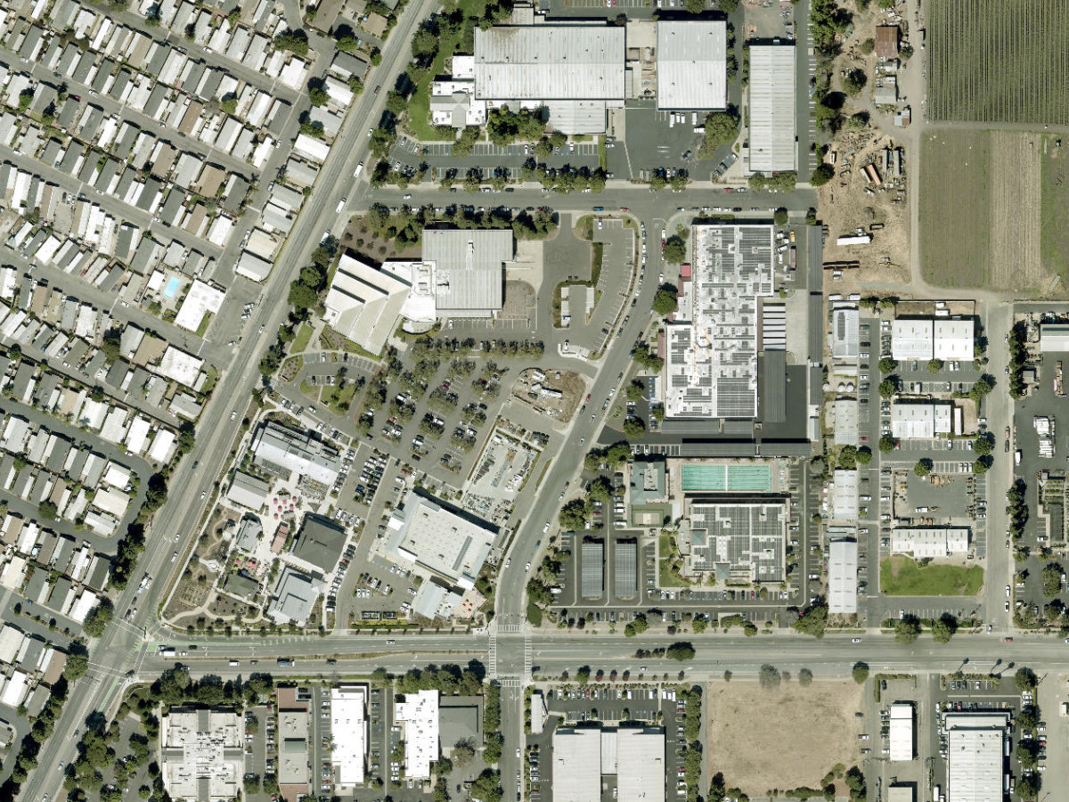
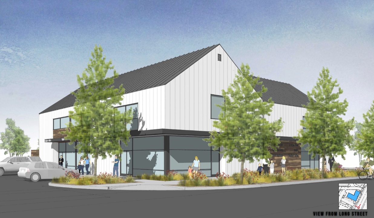
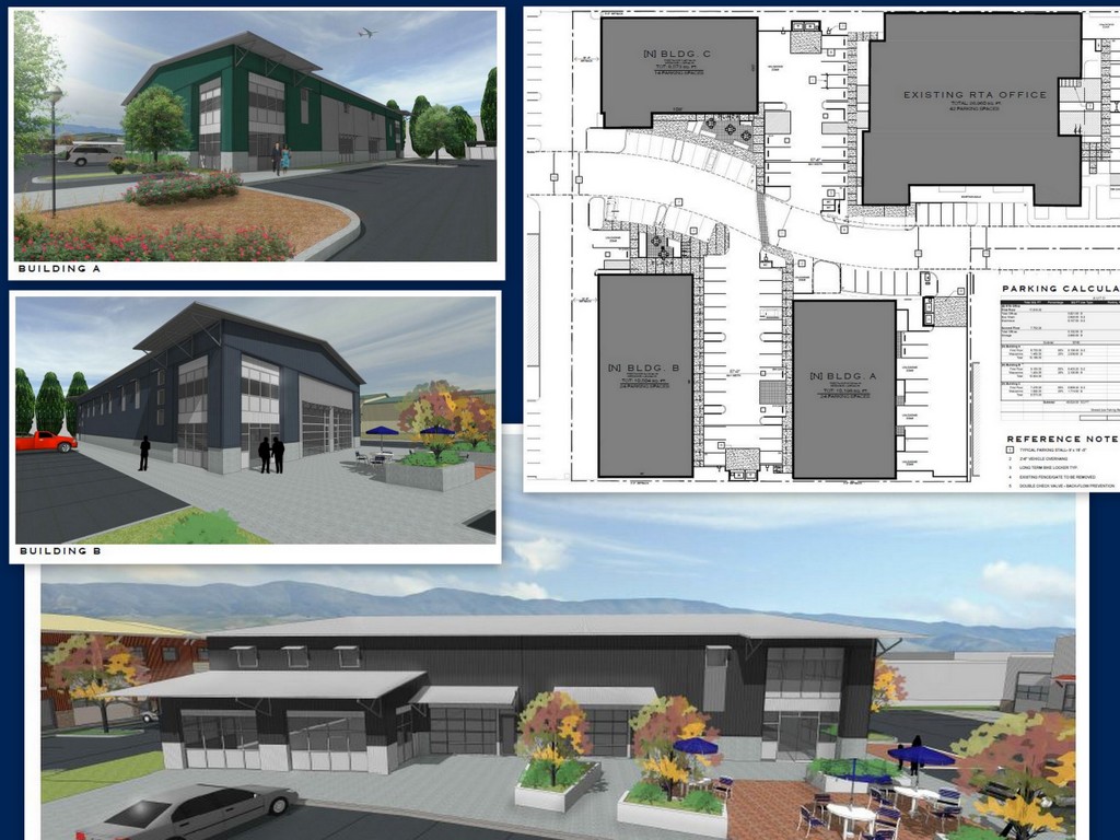
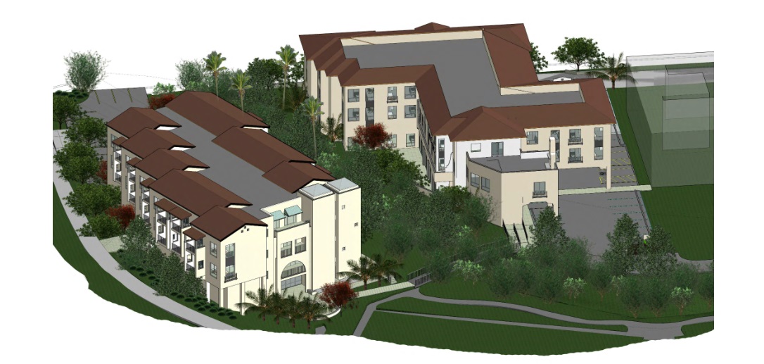
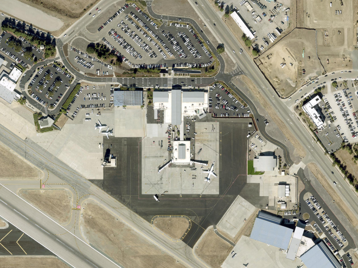
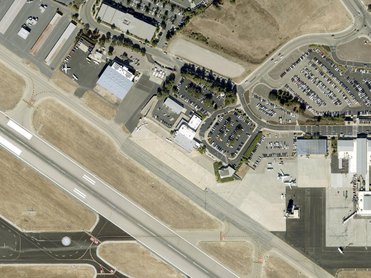
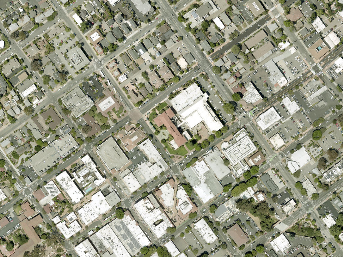
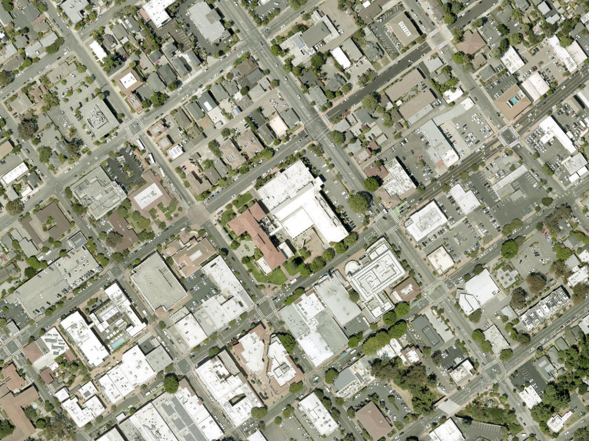
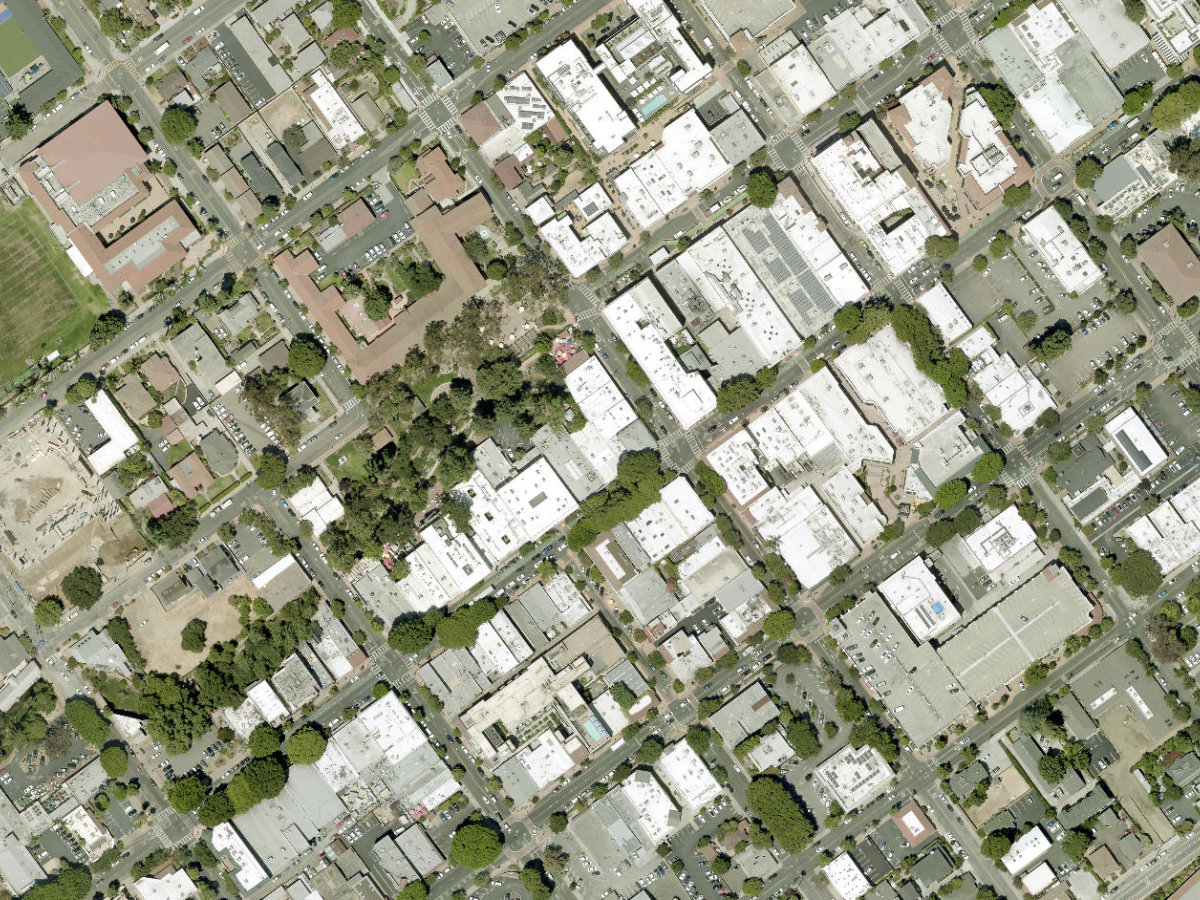
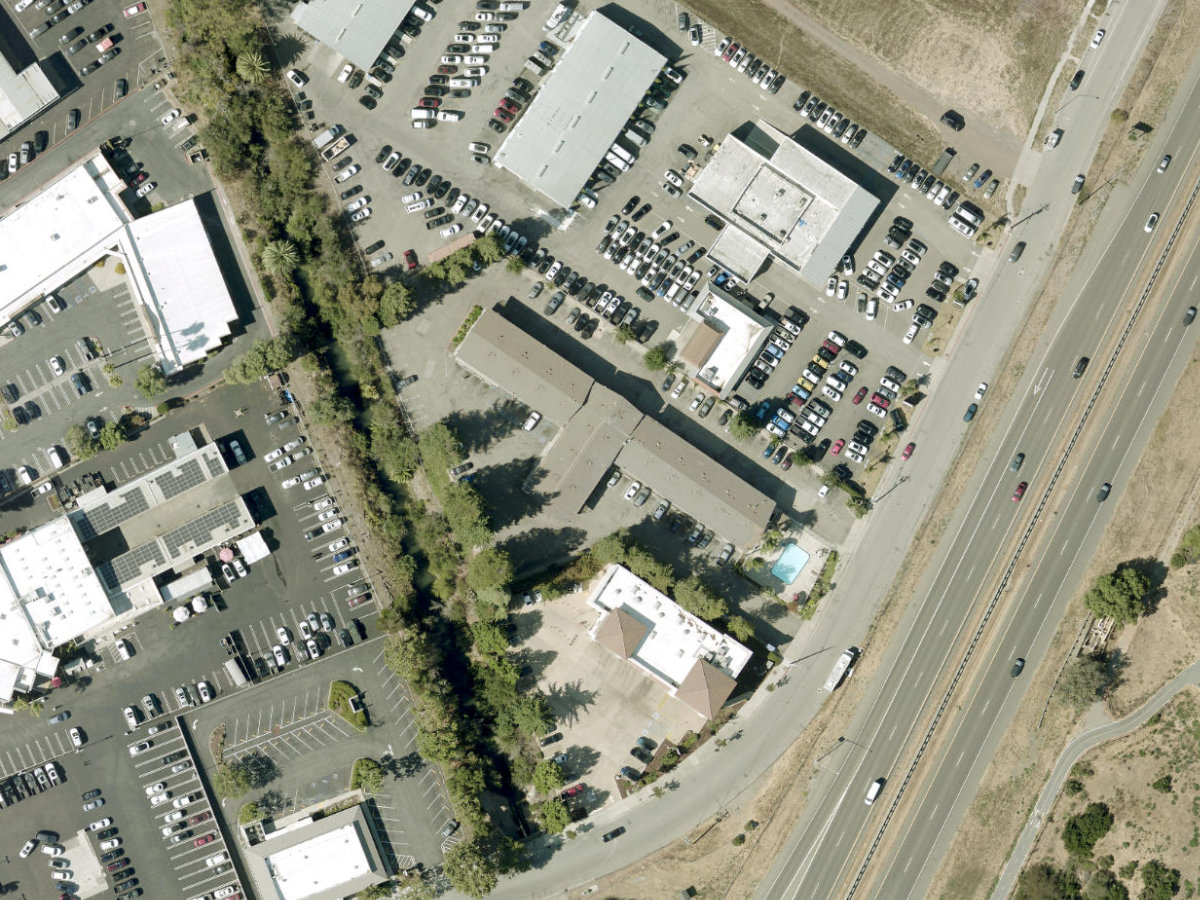
Every record now has an aerial context view. Published drawings or photos are included for 73 records, with source links and dates. The interactive atlas has large zoomable drawings and two approximately aligned plan overlays.
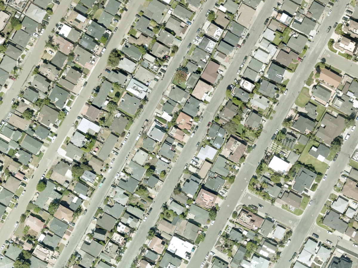
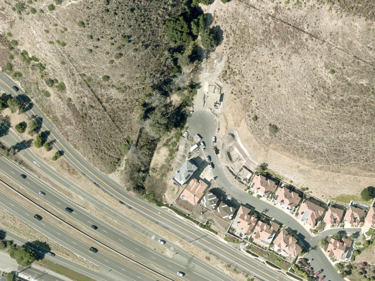
Gold property outlines are not automatically construction footprints. Aerial capture dates are unverified. Missing future-design images remain explicit.
READ THIS FIRST
What changed in the review
The first version contained 93 records. This review adds 50 records and improves the evidence behind earlier entries. It separates applications, recorded approvals, permits, reported construction, public capital planning and reference-only entries. There is no verified claim that all possible developments or every permit in these jurisdictions have been captured.
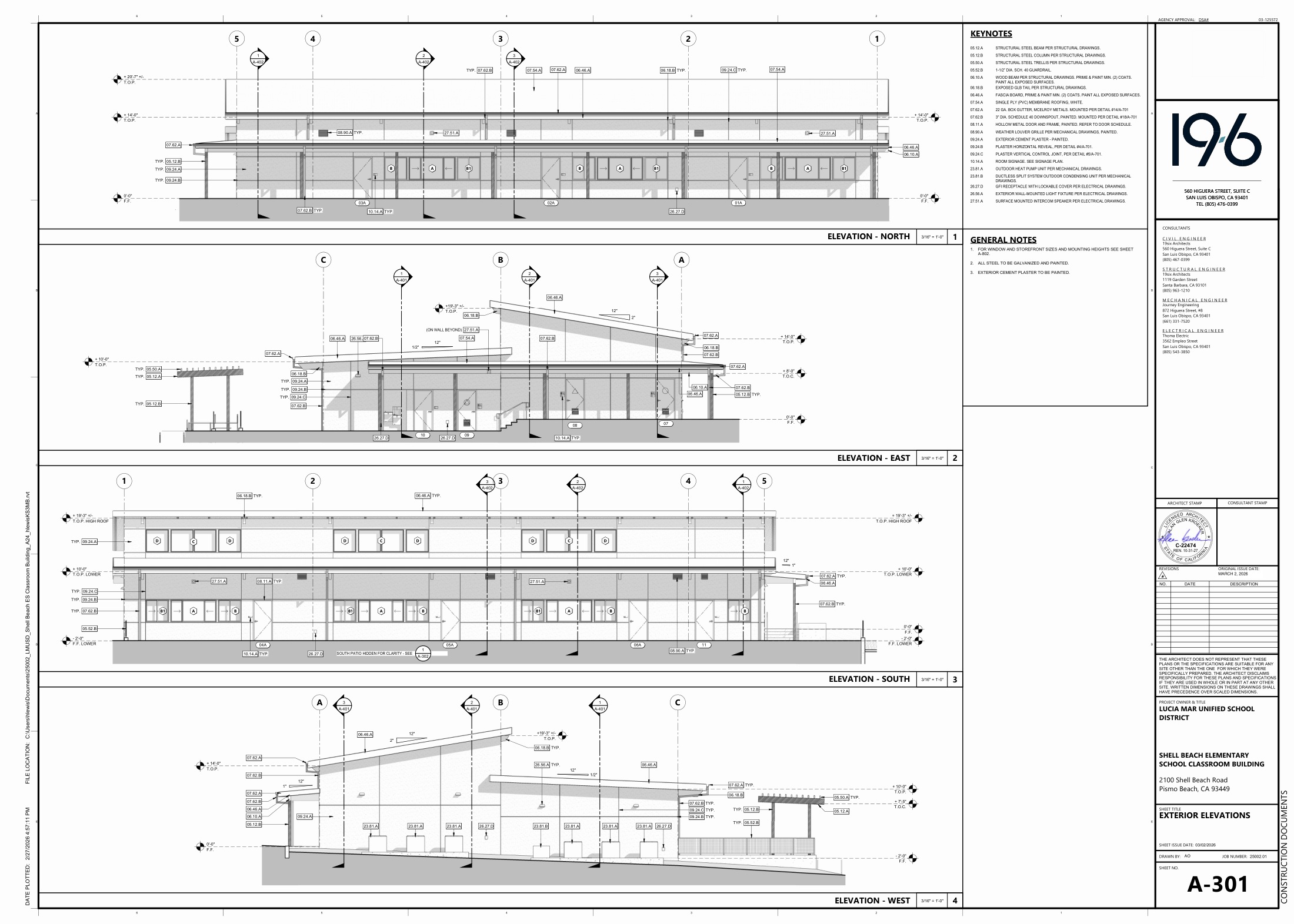
Shell Beach Elementary: The May 2025 and May 2026 classroom projects are separate phases. Conflicting parcel numbers in the 2026 packet are disclosed and no school parcel is highlighted.
Tiburon Place: The city annual report says this development was completed in 2025. It is retained as reference only, instead of counted as active construction.
Crandall Way: The builder reported demolition underway in August 2026, despite the city map retaining a building-review label.
Waterman Village: A later city announcement reports 20 homes and a September 2026 court ruling. Older 22-unit descriptions and outstanding preconstruction steps are disclosed.
Froom Ranch: Official sources differ on the program and whether ownership and entitlement changes have paused progress. Both are preserved, with current status unresolved.
Grover Beach permits: Permit issue dates are no longer treated as proof of active construction. The city tracker is dated October 14, 2026.
Bridge Street: The 94-unit program covers multiple phases. The annual report identifies only phase 1 under construction, with later phases seeking financing.
Beacon Studios: Financing documents describe 75 restricted apartments plus two manager units, while city records also use 79 units. Costs are labeled as application estimates.
What is included
Housing, mixed use, commercial and industrial buildings, hotels, health facilities, education and cultural projects, utilities, transportation and other public works. Selected smaller coastal and residential permits were added when primary records were found. Some records are phases or components of a larger plan. Do not sum their unit totals without a separate overlap analysis.
Shell Beach is within Pismo Beach. Oceano is unincorporated. Del Mar Ranch is adjacent county land shown with Arroyo Grande. Cal Poly and county airport projects are shown in the SLO area, with their distinct jurisdictions stated. Nearby projects outside this geographic scope were not systematically inventoried.
Evidence and limitations
Primary source checks include current city project trackers, 2025 and 2026 Pismo Beach planning records, state environmental filings, city annual reporting and the county FY 2026-27 capital program. Builder, operator and sponsor updates are used where they provide newer evidence. Public-source records were reviewed through November 3, 2026, but underlying information may be older.
Seventy-two Pismo Beach packet documents and the county capital program were retrieved during this review. Relevant report summaries and available meeting actions were examined; this is not a representation that every page, plan sheet, permit condition or technical appendix has been read. Several linked Grover Beach reports and municipal records could not be fully retrieved. Their links are retained as leads, not as proof of content beyond accessible evidence.
Current inspection logs, certificates of occupancy, complete ownership structures, all appeals, final financing and complete permit histories were not available for every project. Blank or unresolved items are identified rather than inferred. Draft minutes can establish a recorded motion, but are not a substitute for a signed final resolution or an appeal search. Capital-program costs and completion years are estimates, not construction commitments.
Grover Beach’s main tracker omits projects below its five-dwelling or 2,500-square-foot commercial threshold. No uniform, complete application register was obtained for all six views. A complete permit census would require those registers and current building/inspection data from each agency. Older proposals without evidence of continued activity remain clearly flagged.
Map accuracy
Points come from official project maps, environmental-record coordinates, county address points or address/intersection geocoding. They are location aids, not surveys. Road and parcel context is from county GIS. Shaded parcels are matched only to APNs explicitly named in the project evidence. Parcel outlines may include land outside the development, especially for campuses and partial-parcel projects. Linear utility and highway projects may use one representative location rather than a surveyed alignment.
Interactive map and data files work offline. Linked plans and sources need an internet connection. The PDF contains a regional overview, six city/community maps with indexes, and one close-up map page per record.
CITY AND PROJECT INDEX
Find a development
The Arroyo Grande view includes one county-fringe record. Counts are project/phase records, not unique sites or net new units.
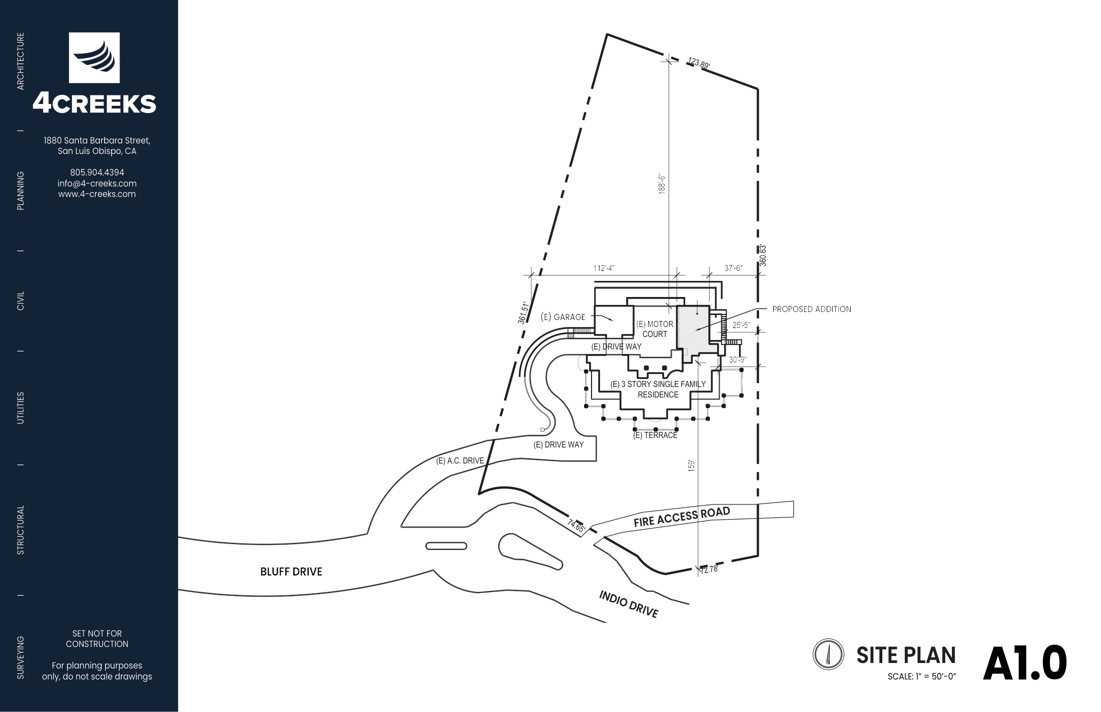
The additional apartments change the intensity of an existing residential property. The original dwelling layout and the new buildings should be read together before treating this as a new standalone complex.
Final site coverage, driveway circulation and the approved height decision remain unverified.
Supporting source. Interpretation of the documented program, not a new traffic, shadow, noise, view or property-value study.
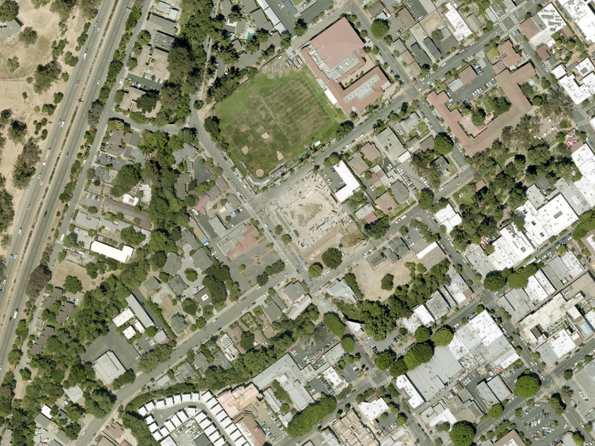
Design images not verified: No reliable proposed-design image was retrieved from the reviewed public material. The aerial and documented program provide context without inventing a future building shape.
Base source date: September 2, 2025. Additional evidence dates appear under Sources. Research cutoff: November 3, 2026.
Audit note: Hearing agenda and approval recommendation verified; final decision and construction stage not verified.
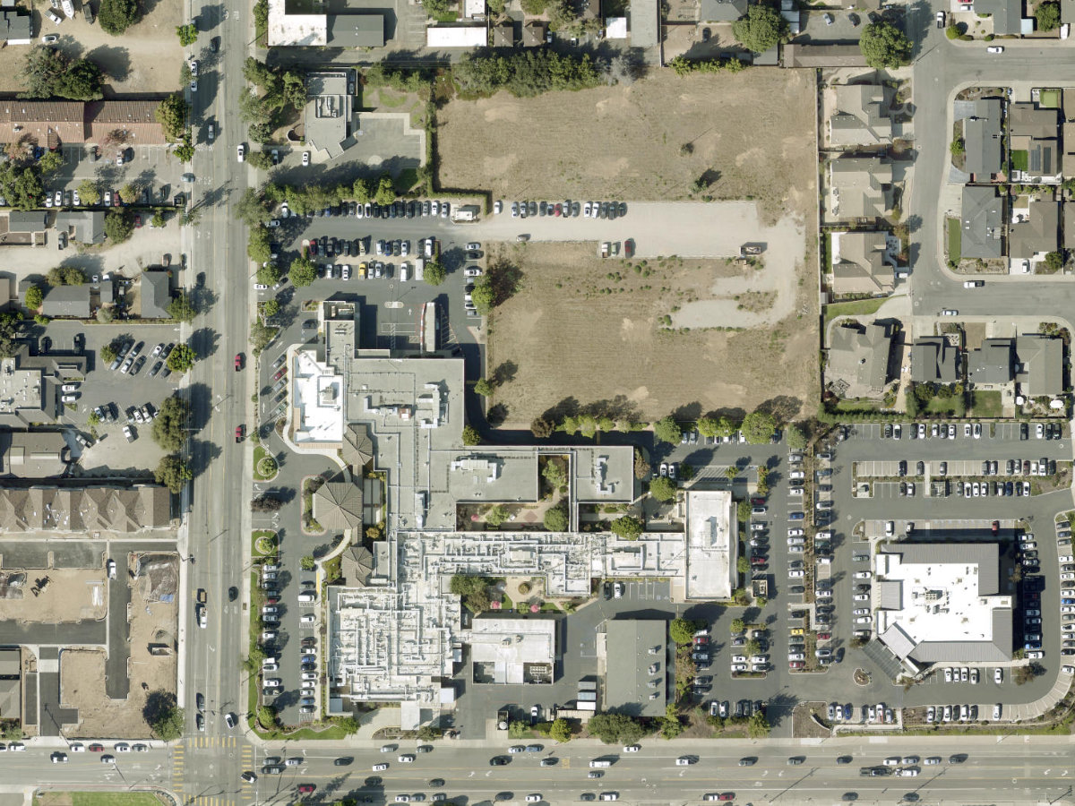
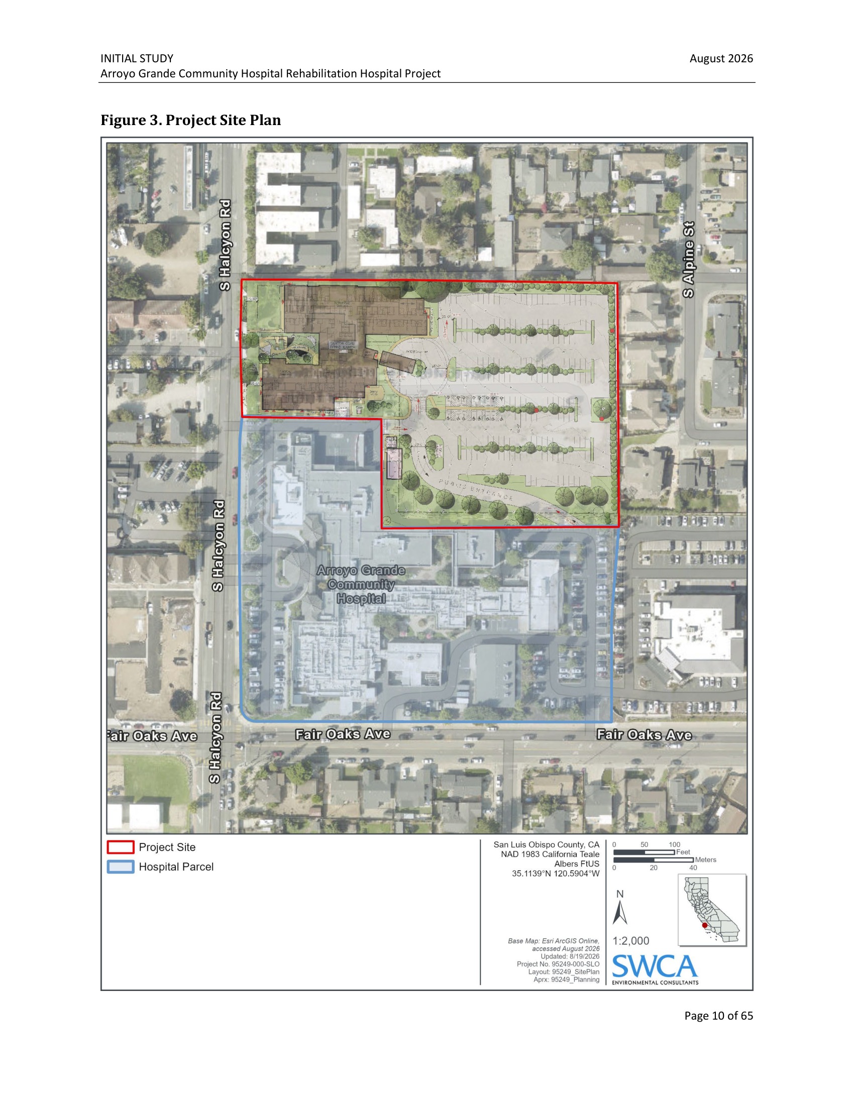
A two-story, roughly 34-foot building would fill part of the open/parking area north of the existing hospital. The plan concentrates buildings toward Halcyon Road and parking to the east. A west-facing arrival area and an eastern courtyard organize access.
The August 2026 study anticipates about 24 months of construction. It estimates up to 1,161 daily vehicle trips, 93 AM and 88 PM peak-hour trips, using a conservative standalone-facility assumption. These are modeled movements, not 1,161 additional cars present at once.
Parking change
The study removes 50 overflow spaces and 130 campus spaces, then provides 259 new spaces. The resulting net change in that stated program is +79 (calculated as 259 - 50 - 130). This is not the total campus parking supply. Source
Land involved
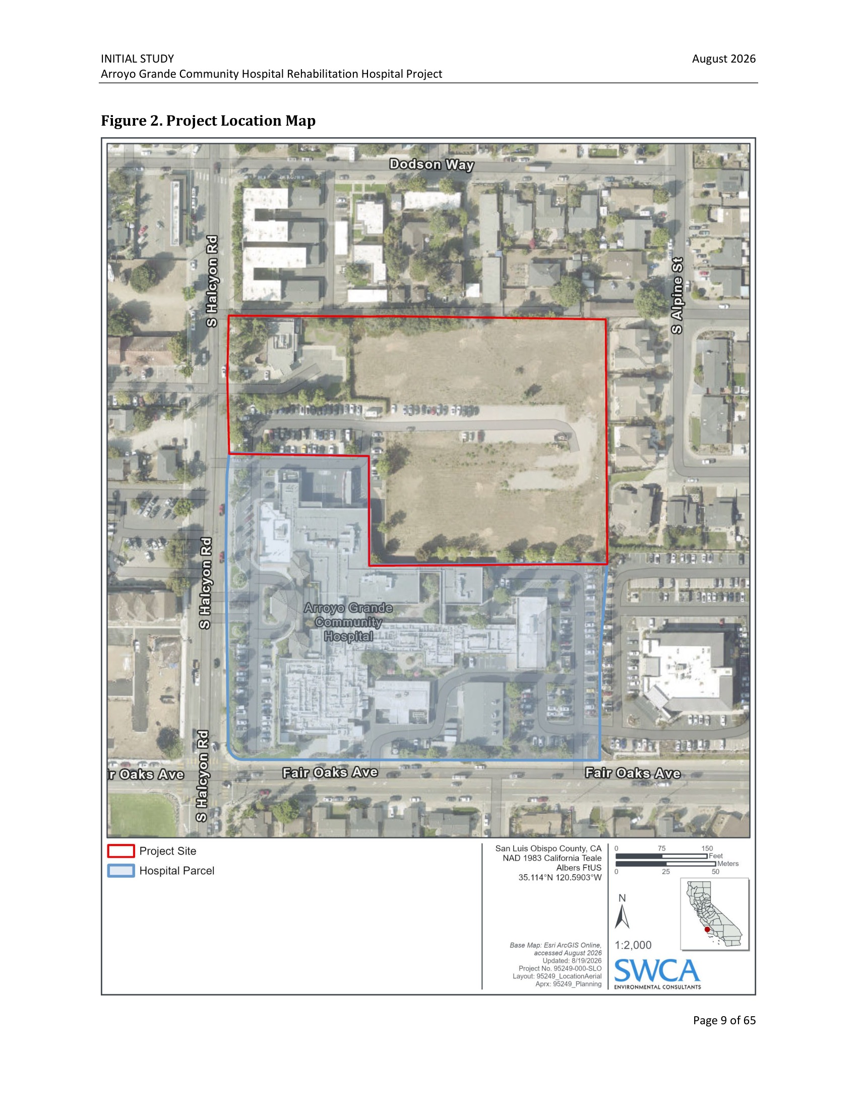
The initial study describes a 3.7-acre rehabilitation-hospital project area within a 9.7-acre hospital campus. County assessor parcels shown in gold can extend beyond the project area. Source
Building and operations
Approximately 67,900 square feet, two stories and 34 feet tall. The study estimates 78 employees over two 12-hour shifts. Source
Environmental findings to date
The initial study finds transportation impacts less than significant using its stated assumptions. Air quality, biological and cultural resources, and noise are among topics reserved for further environmental review. A final EIR/approval is not established by this initial study. Source
Supporting source. Interpretation of the documented program, not a new traffic, shadow, noise, view or property-value study.
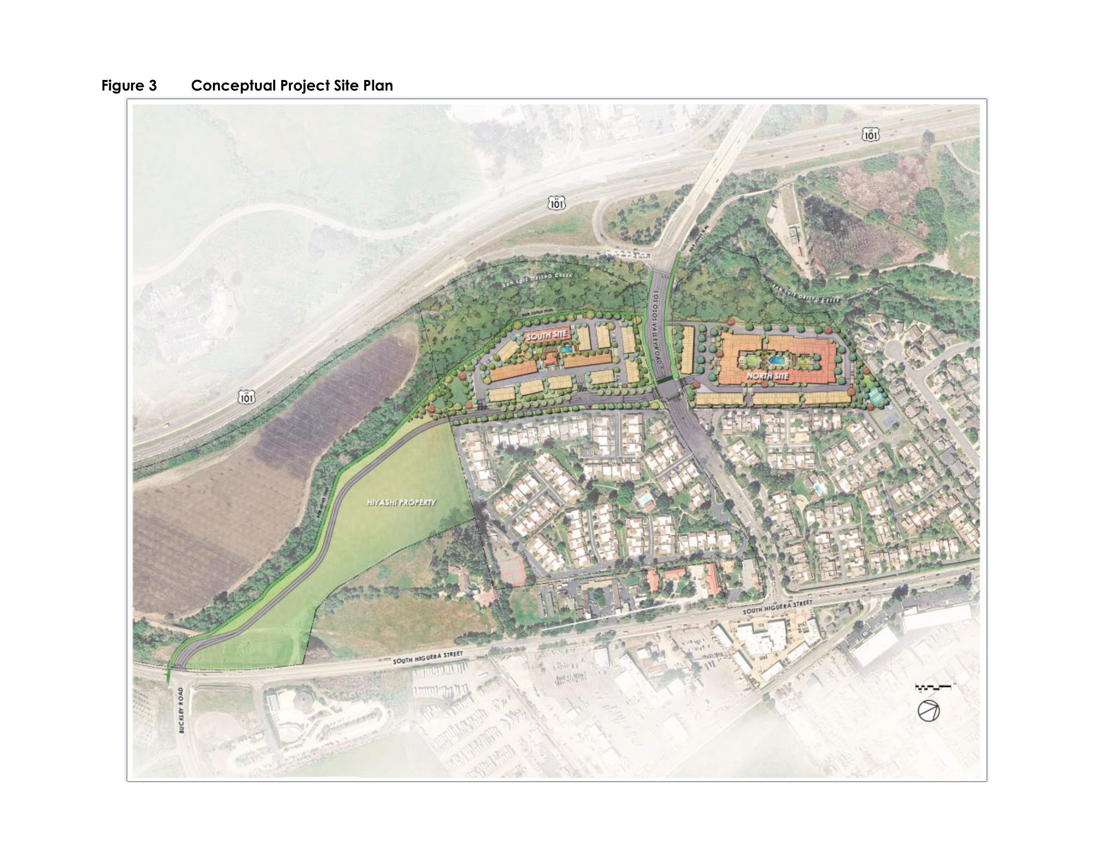
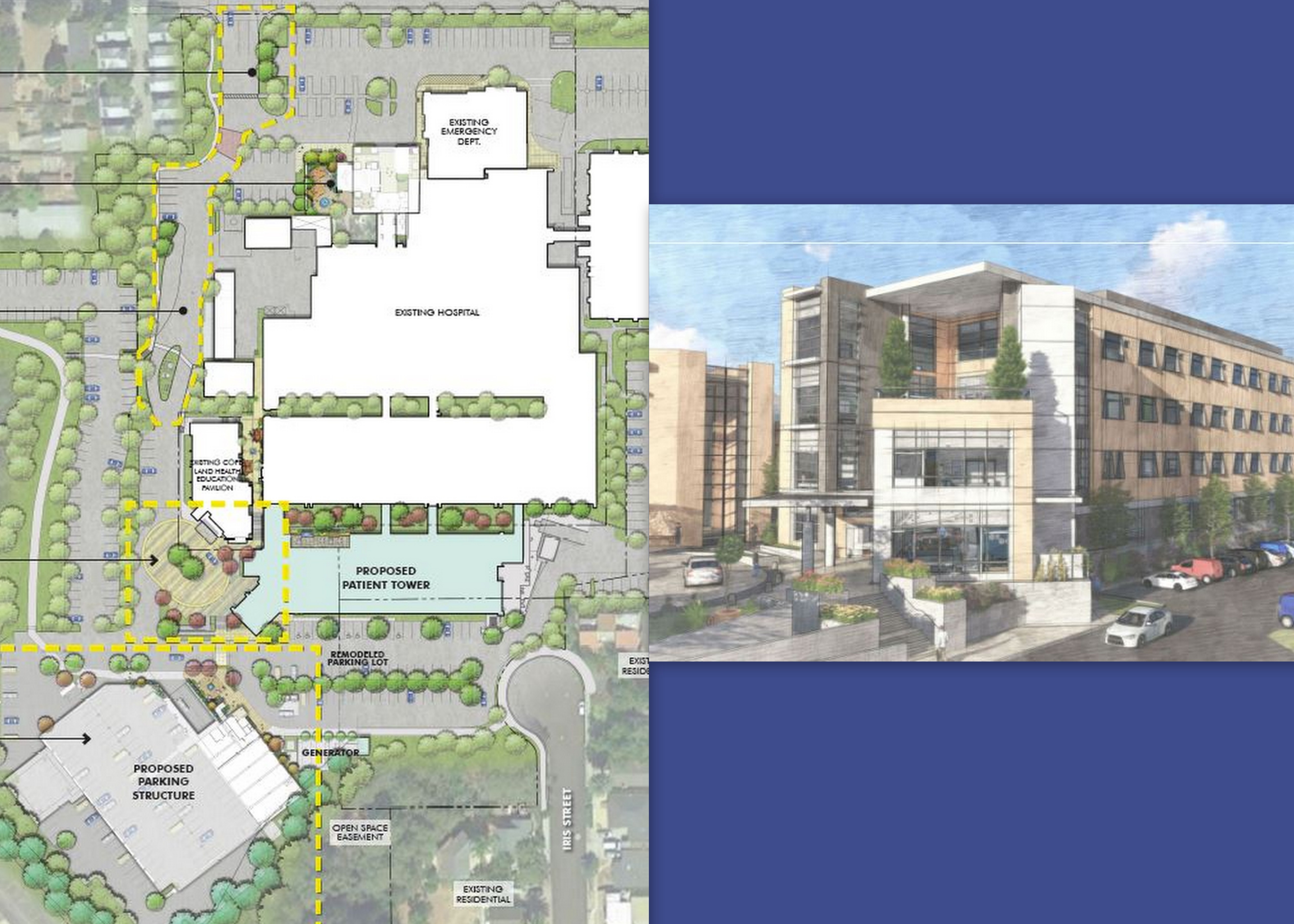
Project boundary map. Project boundary map, PDF page 11. Published application drawing or agency exhibit. Design and revision dates remain visible on the original sheet. August 20, 2026 Original source · Full sheet / image · Zoom in atlasSite plan on aerial. Site plan on aerial, PDF page 12. Published application drawing or agency exhibit. Design and revision dates remain visible on the original sheet. August 20, 2026 Original source · Full sheet / image · Zoom in atlas
Base source date: August 20, 2026. Additional evidence dates appear under Sources. Research cutoff: November 3, 2026.
Audit note: Environmental review initiated; approval not established.
Draft-EIR preparation notice filed August 20, 2026; scoping comments closed September 18, 2026. Source
Site and program
Approximately four acres; 52 beds, approximately 67,900 square feet and supporting parking/utilities. Source
Map and parcel evidence
Published CEQAnet project location; indicative point, not project extent. Coordinates: 35.114526, -120.590495.
APNs named in a project source: 006-391-046, 006-391-047, 006-391-048, 006-391-049. Gold map shading shows those assessor parcels, which may extend beyond the work area.
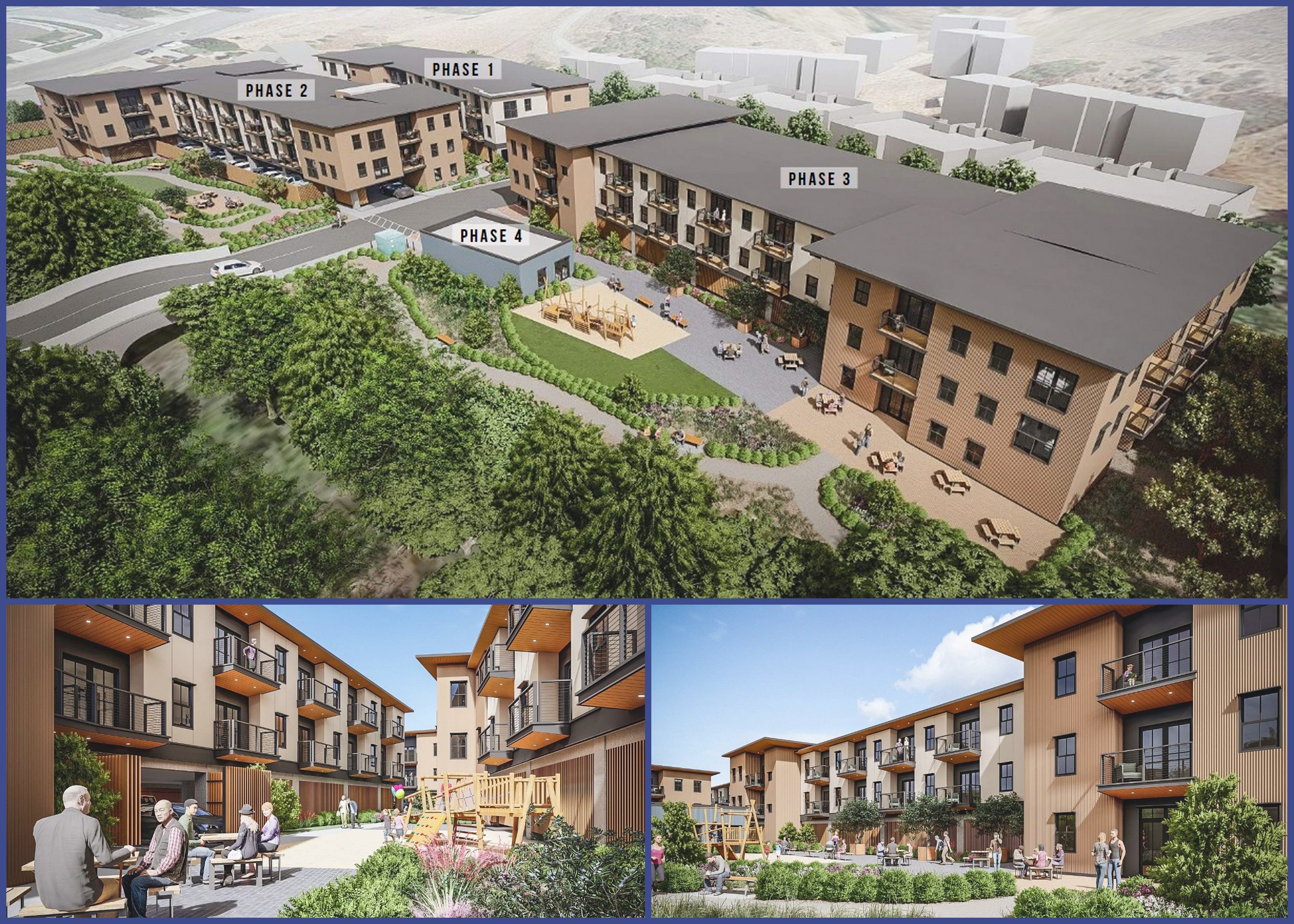
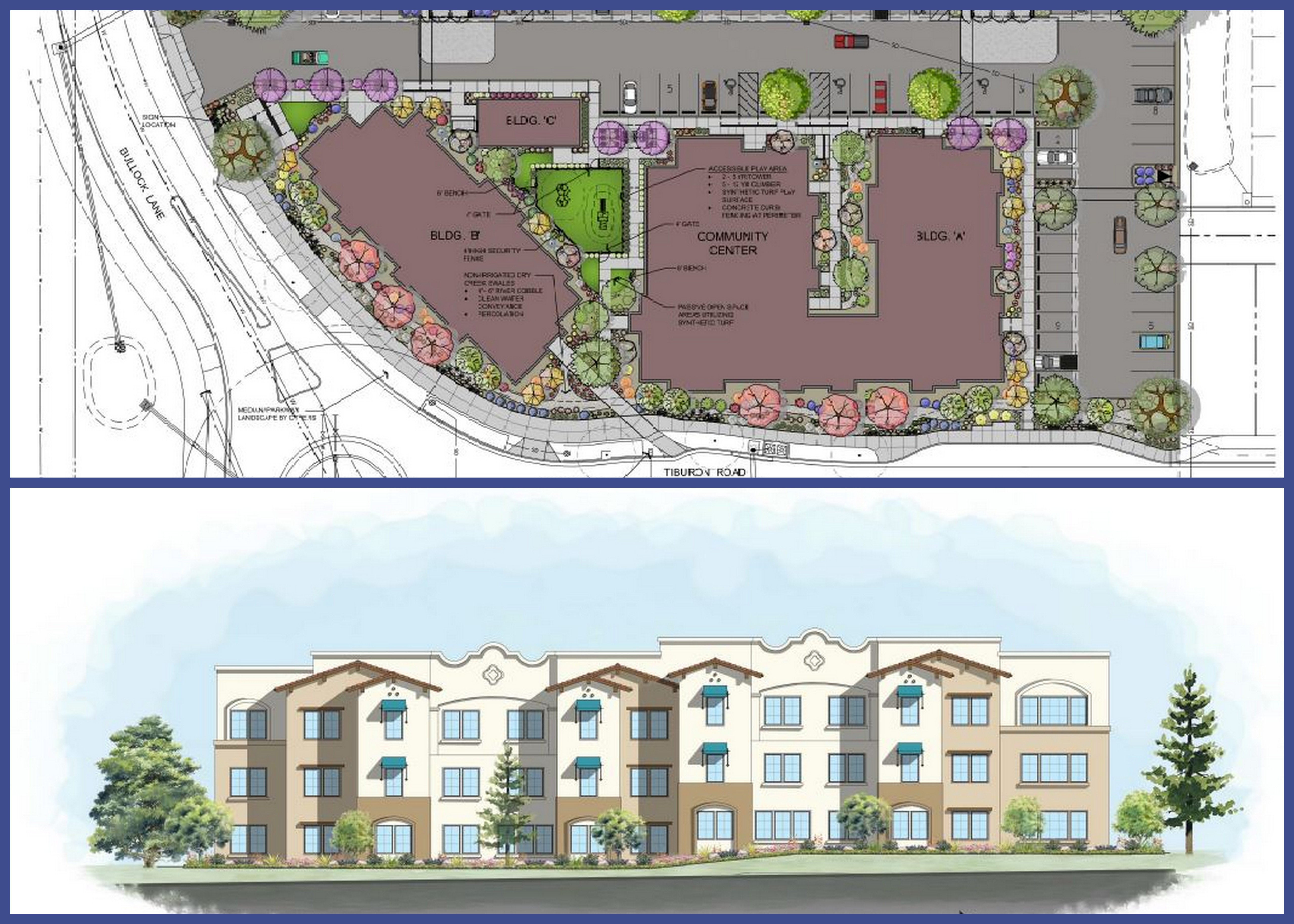
The main visual change is a group of apartment buildings replacing the prior site condition. Affordable housing is the principal community benefit; construction activity and the eventual resident circulation are the main local changes.
The current reviewed inventory says 62 apartments. A final approved site plan and current construction photograph were not retrieved for this visual edition.
Supporting source. Interpretation of the documented program, not a new traffic, shadow, noise, view or property-value study.
Design images not verified: No reliable proposed-design image was retrieved from the reviewed public material. The aerial and documented program provide context without inventing a future building shape.
Base source date: March 2026. Additional evidence dates appear under Sources. Research cutoff: November 3, 2026.
Audit note: Builder reported an October finish target in September 2026. HASLO is advertising units; final completion and occupancy certificate were not verified.
Builder reported an October finish target in September 2026. HASLO is advertising units; final completion and occupancy certificate were not verified.
Published unit counts differ: earlier public financing records say 63, while local coverage says 62. Confirm whether one is a manager unit before totaling.
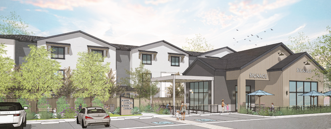
Two four-story apartment buildings on 1.81 acres create a much more continuous building edge at James Way and Oak Park Boulevard. The program includes 14 income-restricted homes.
The early program identifies 31 one-car garages. Parking agreements, final circulation and the approved revised drawings are important to the surrounding commercial area. A defensible net traffic or spillover-parking forecast was not retrieved.
Supporting source. Interpretation of the documented program, not a new traffic, shadow, noise, view or property-value study.
Design images not verified: No reliable proposed-design image was retrieved from the reviewed public material. The aerial and documented program provide context without inventing a future building shape.
Base source date: January 20, 2026; appeal decision reported April 16, 2026. Additional evidence dates appear under Sources. Research cutoff: November 3, 2026.
Audit note: Council rejection of appeal reported by CalCoastNews on April 16, 2026. Construction start not verified. Additional source: https://calcoastnews.com/2026/04/arroyo-grande-city-council-rejects-appeal-approves-92-unit-residential-development/
1.81 acres; two four-story buildings; 20 studios, 58 one-bedroom and 14 two-bedroom apartments; community center, fitness area and 31 one-car garages. Source
Environmental record
Statutory PRC 21080.66 and Class 32 infill exemptions reported. Source
Map and parcel evidence
Address/intersection geocode; approximate point, not parcel or project extent. Coordinates: 35.132763, -120.604696.
No complete project parcel list was verified. Nearby parcel lines are context only.
Geocoder match: 1271 James Way, Arroyo Grande, California, 93420. An address match does not establish the extent of a development.
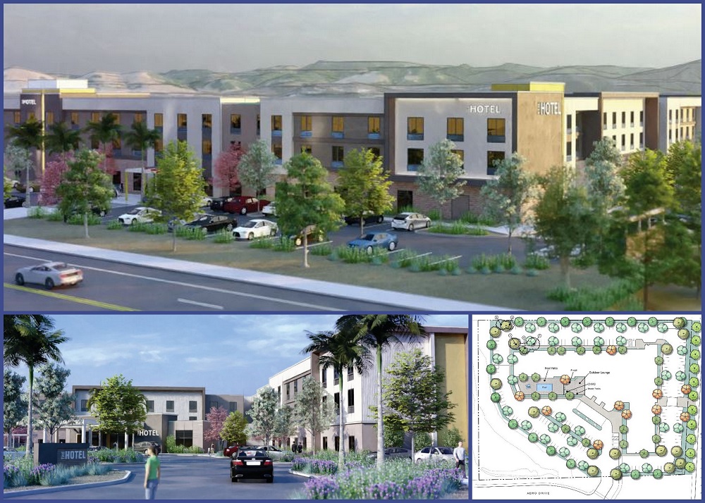
Hotel arrivals and a drive-through car wash create two different vehicle patterns on one site. The vacuum area and wash equipment make operating noise and driveway queues relevant to adjacent uses.
The program is 22 hotel rooms plus the car wash, not a 22-unit residential project. Queue length, operating hours and a measured noise result are not verified here.
Supporting source. Interpretation of the documented program, not a new traffic, shadow, noise, view or property-value study.
Design images not verified: No reliable proposed-design image was retrieved from the reviewed public material. The aerial and documented program provide context without inventing a future building shape.
Base source date: November 2024 approval. Additional evidence dates appear under Sources. Research cutoff: November 3, 2026.
Audit note: Original approval expiration November 19, 2026; an October 2026 extension appears in meeting reporting but was not independently verified. Construction stage unknown.
Project details
Applications
CUP 23-004; LLA 23-002; Planned Sign Program 23-001 Source
Map and parcel evidence
Address/intersection geocode; approximate point, not parcel or project extent. Coordinates: 35.122491, -120.590633.
No complete project parcel list was verified. Nearby parcel lines are context only.
Geocoder match: 727 El Camino Real, Arroyo Grande, California, 93420. An address match does not establish the extent of a development.
Original entitlement expiration was November 19, 2026. An October 6, 2026 one-year extension request was located, but the final extension vote has not been verified.
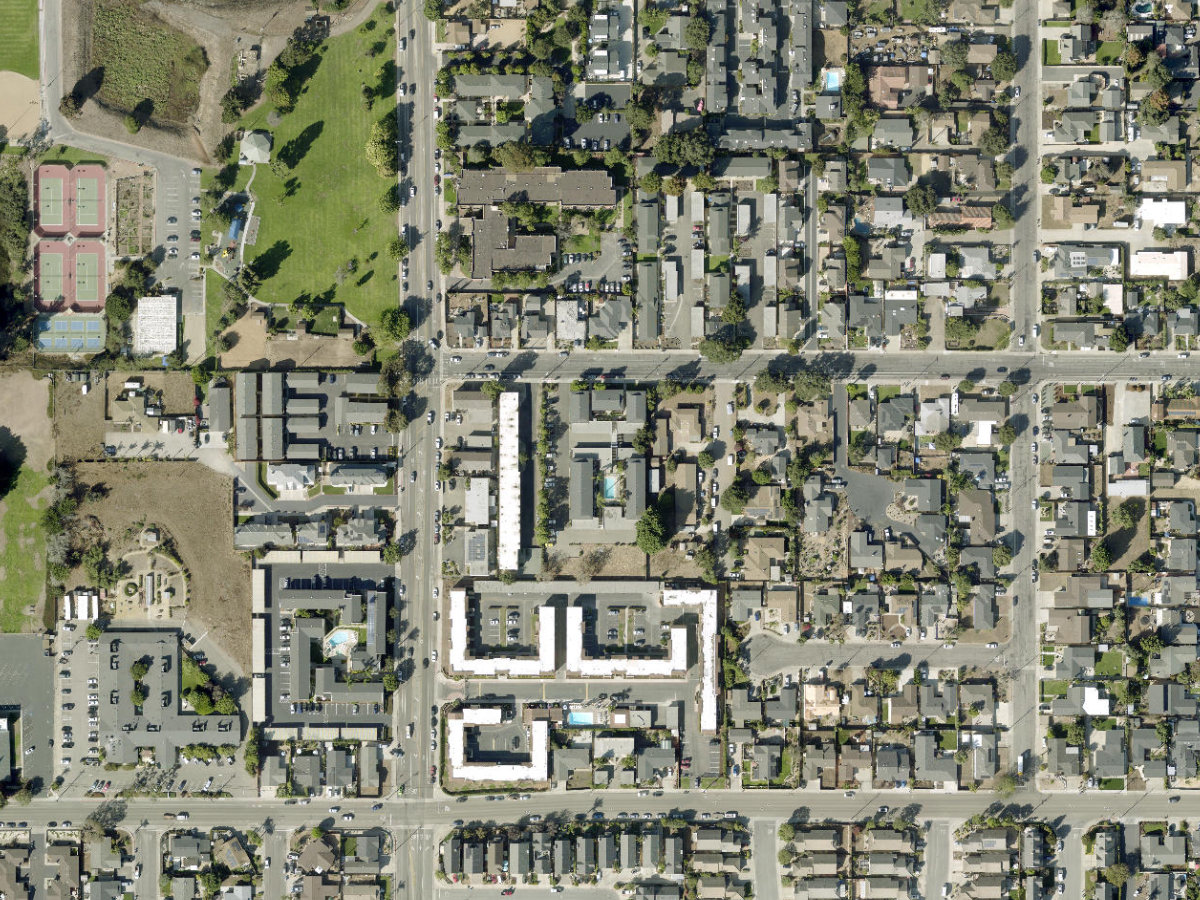
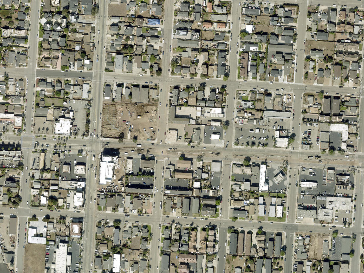
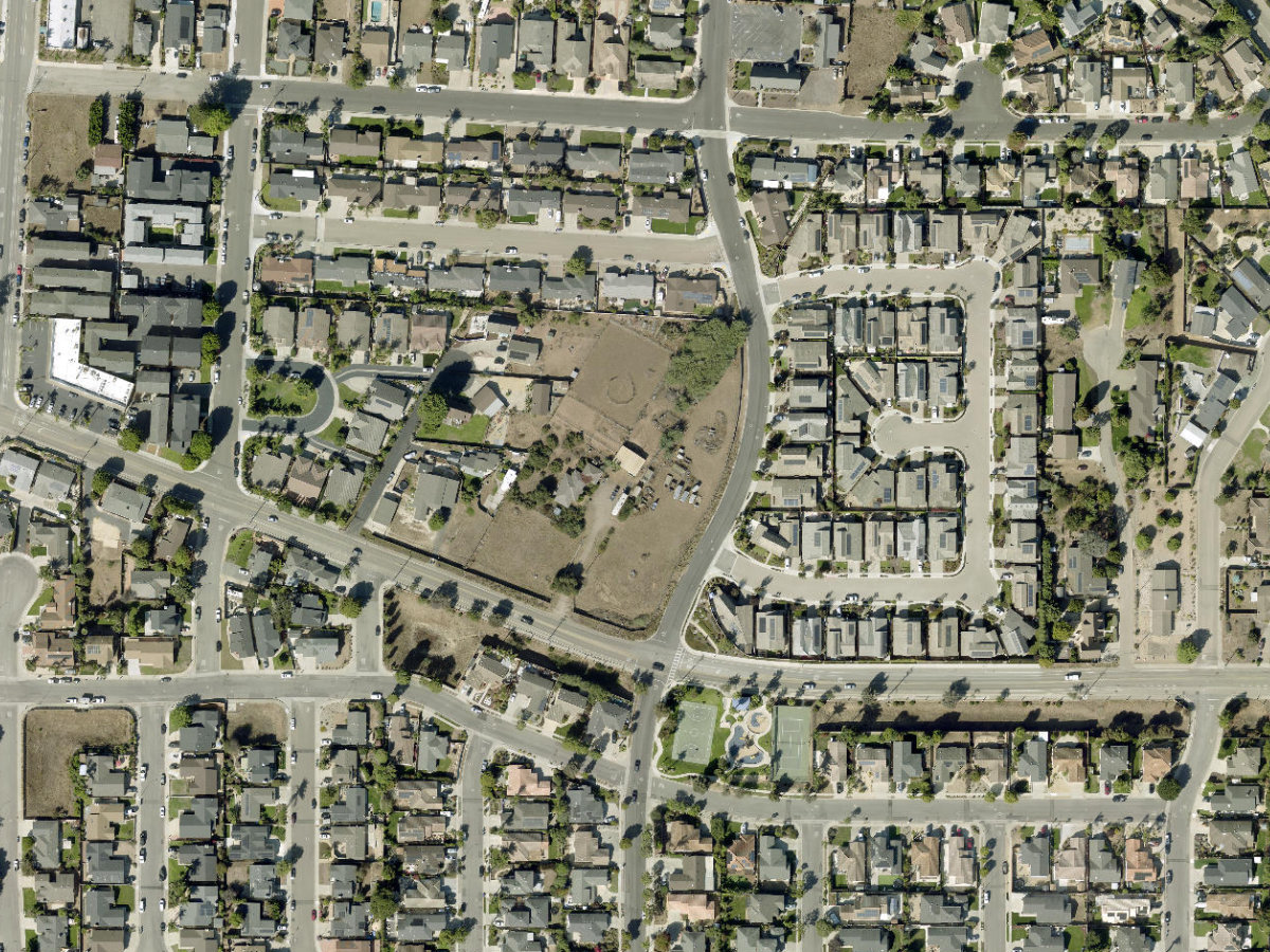
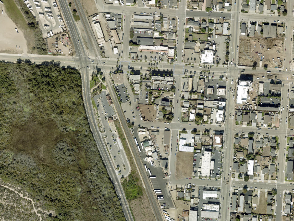
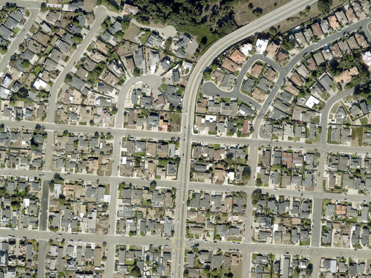
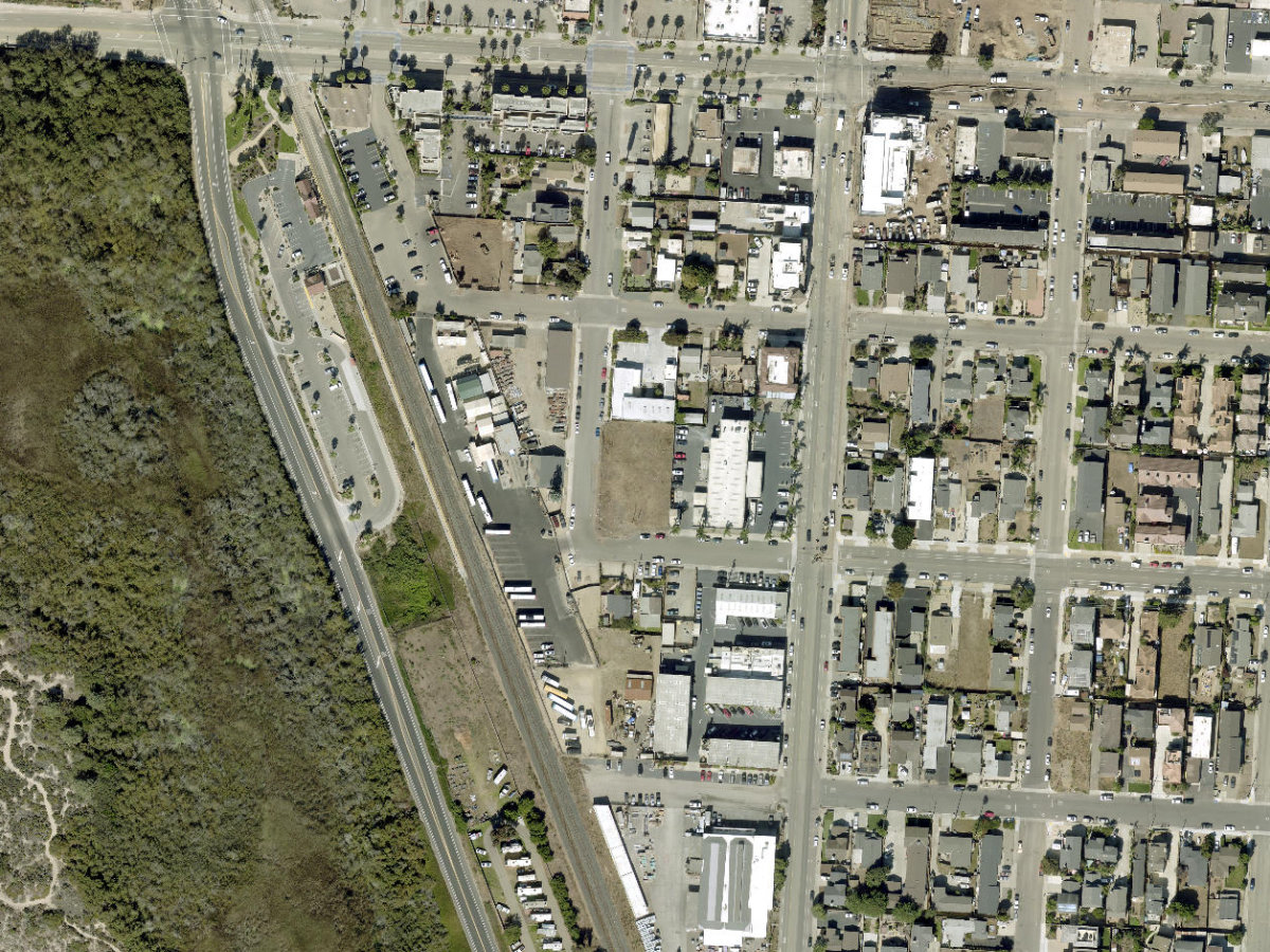
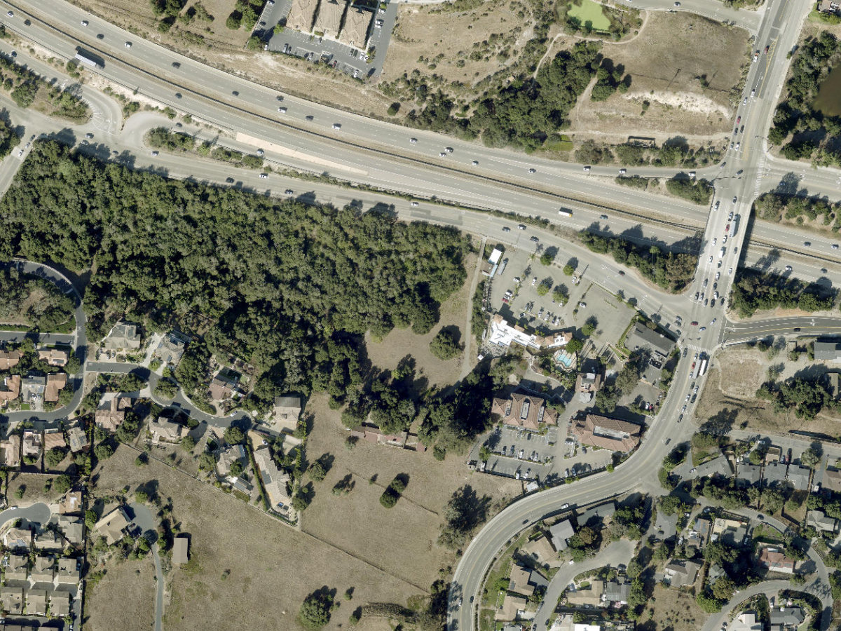
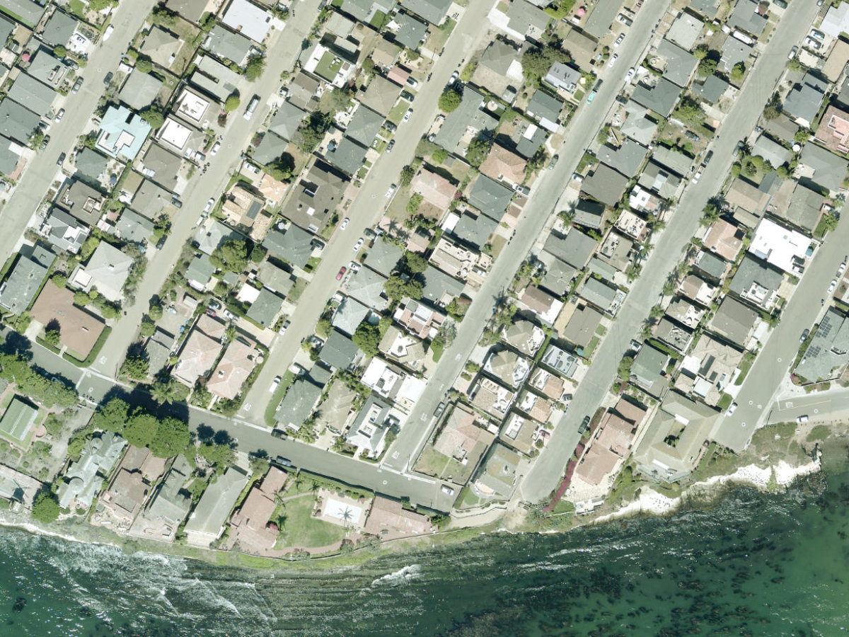
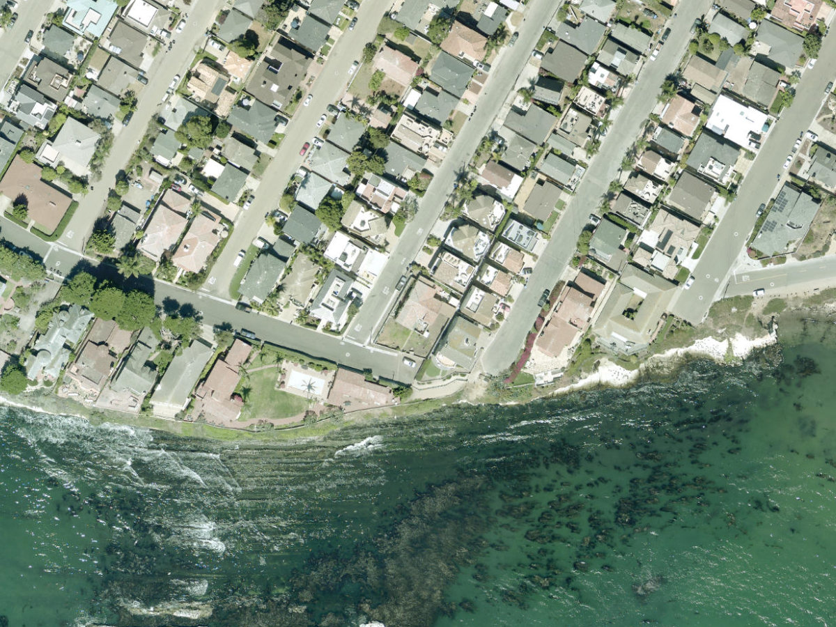
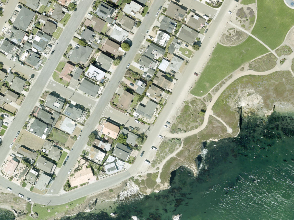
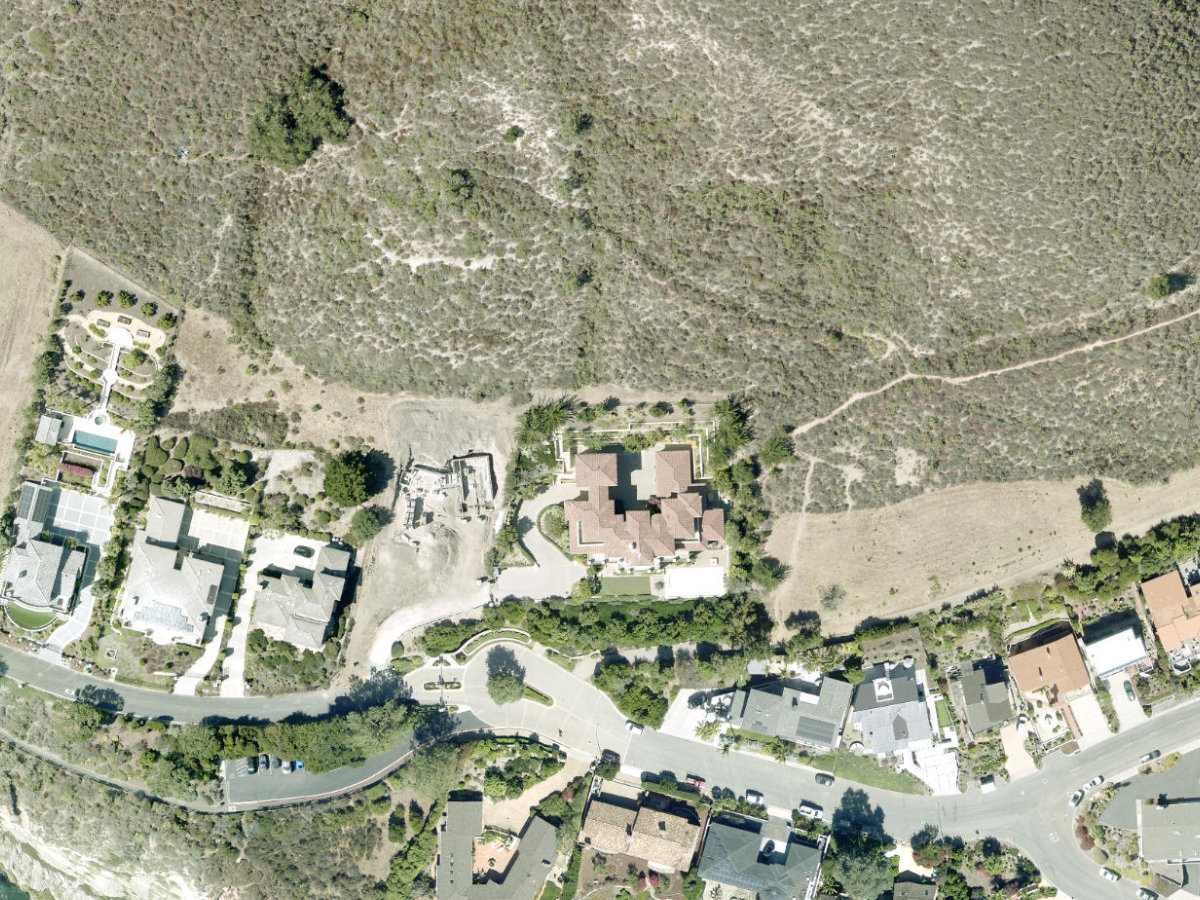
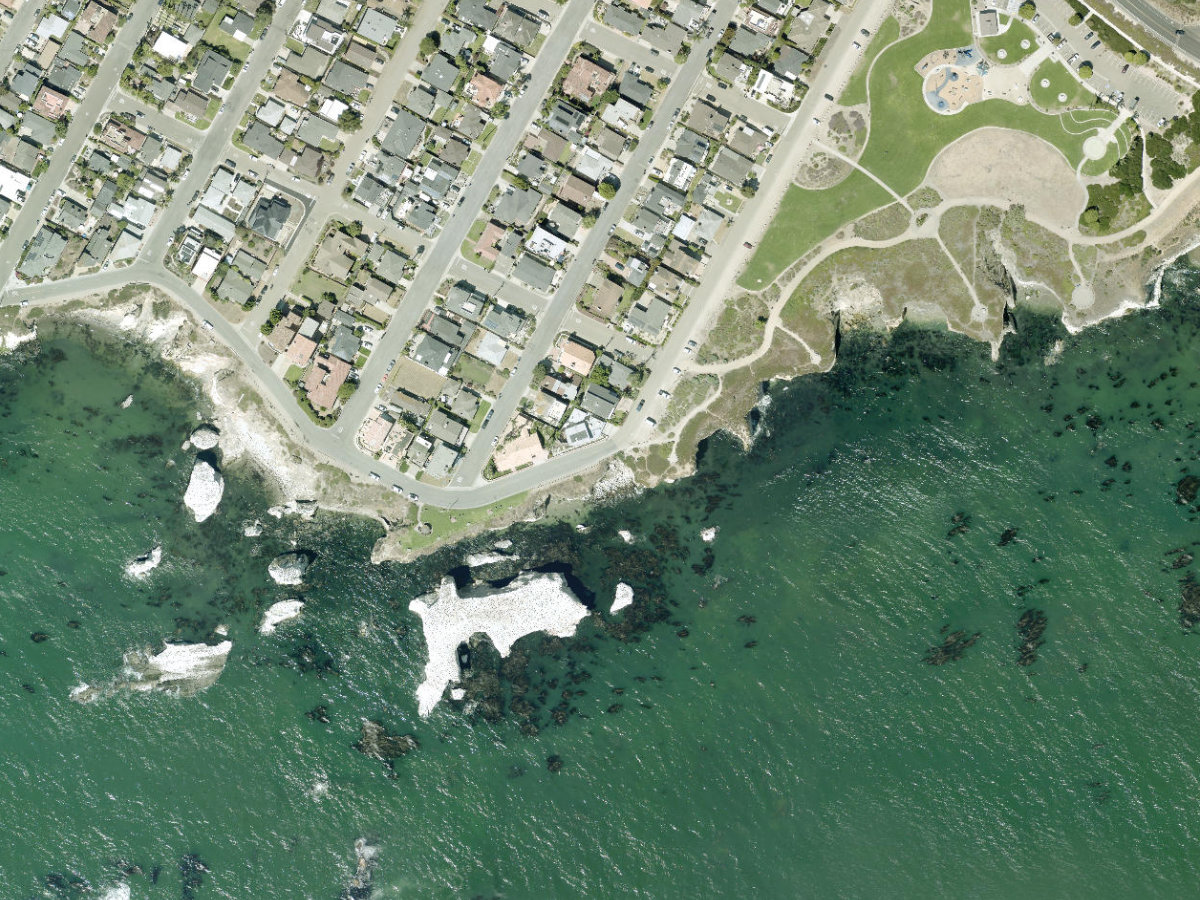
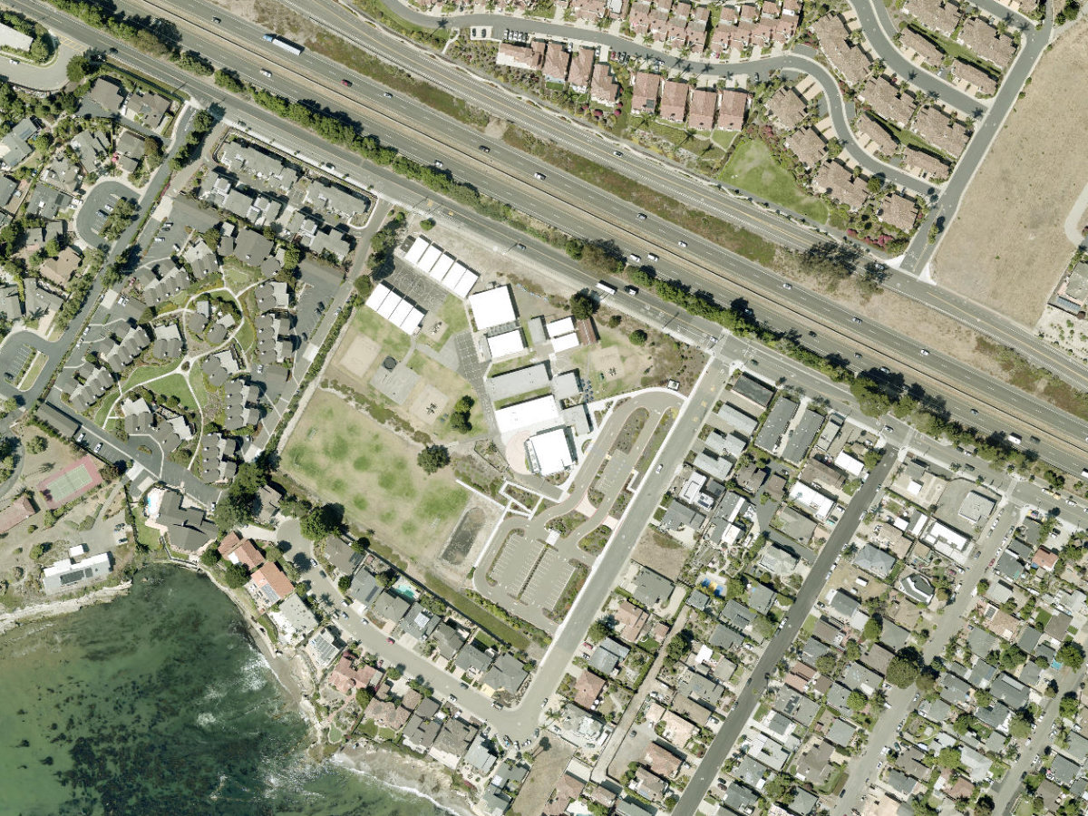
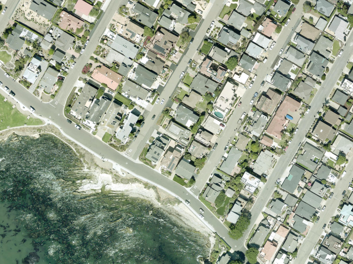
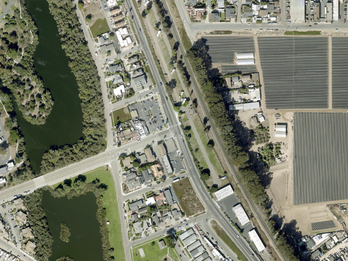
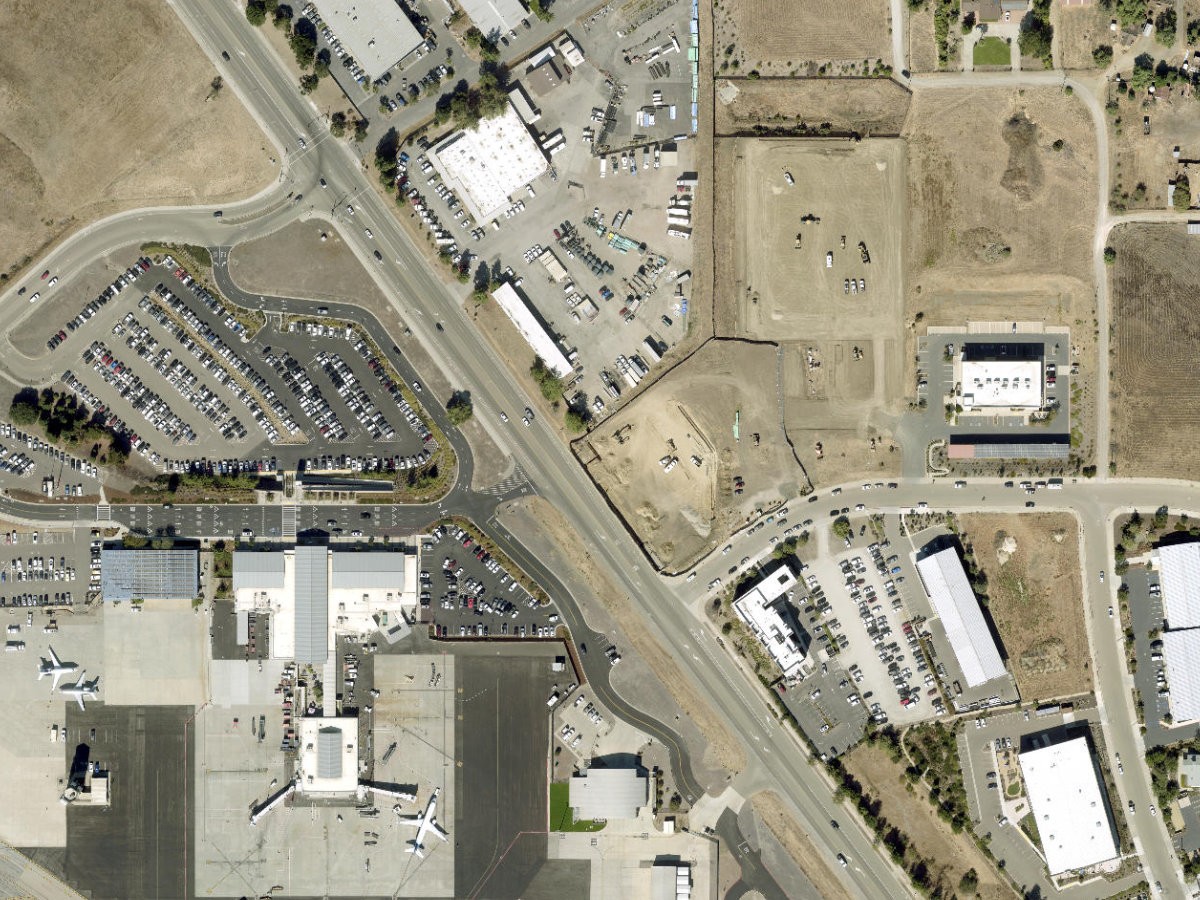
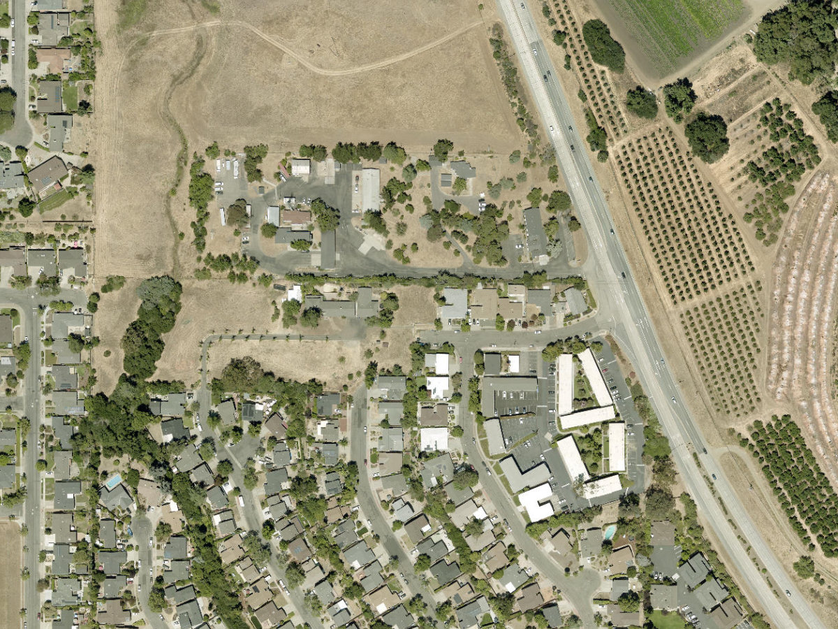
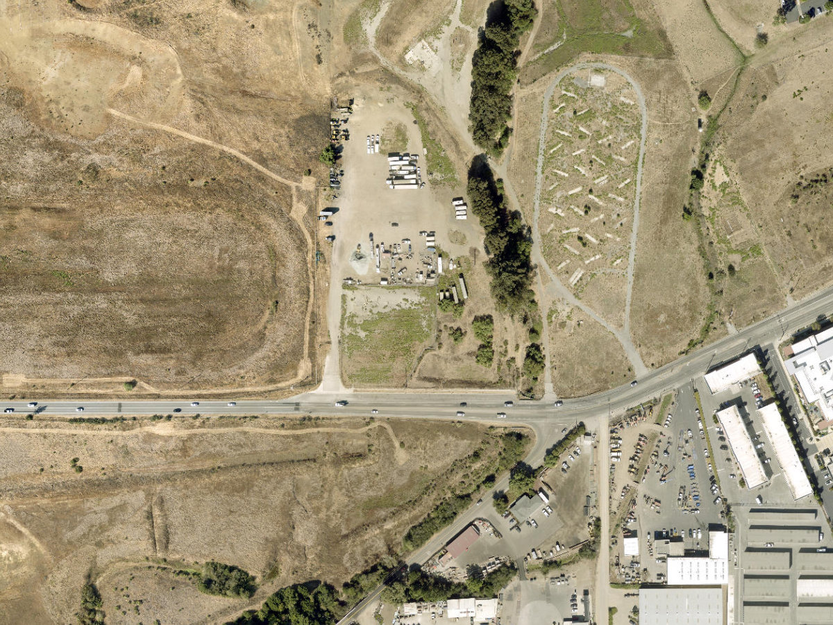
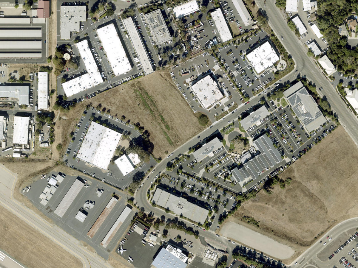
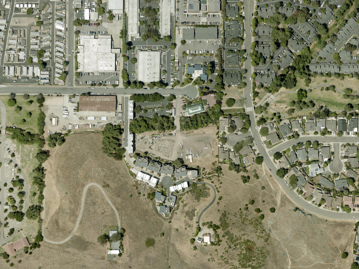
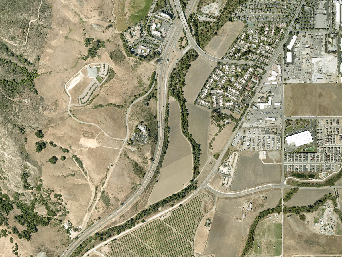
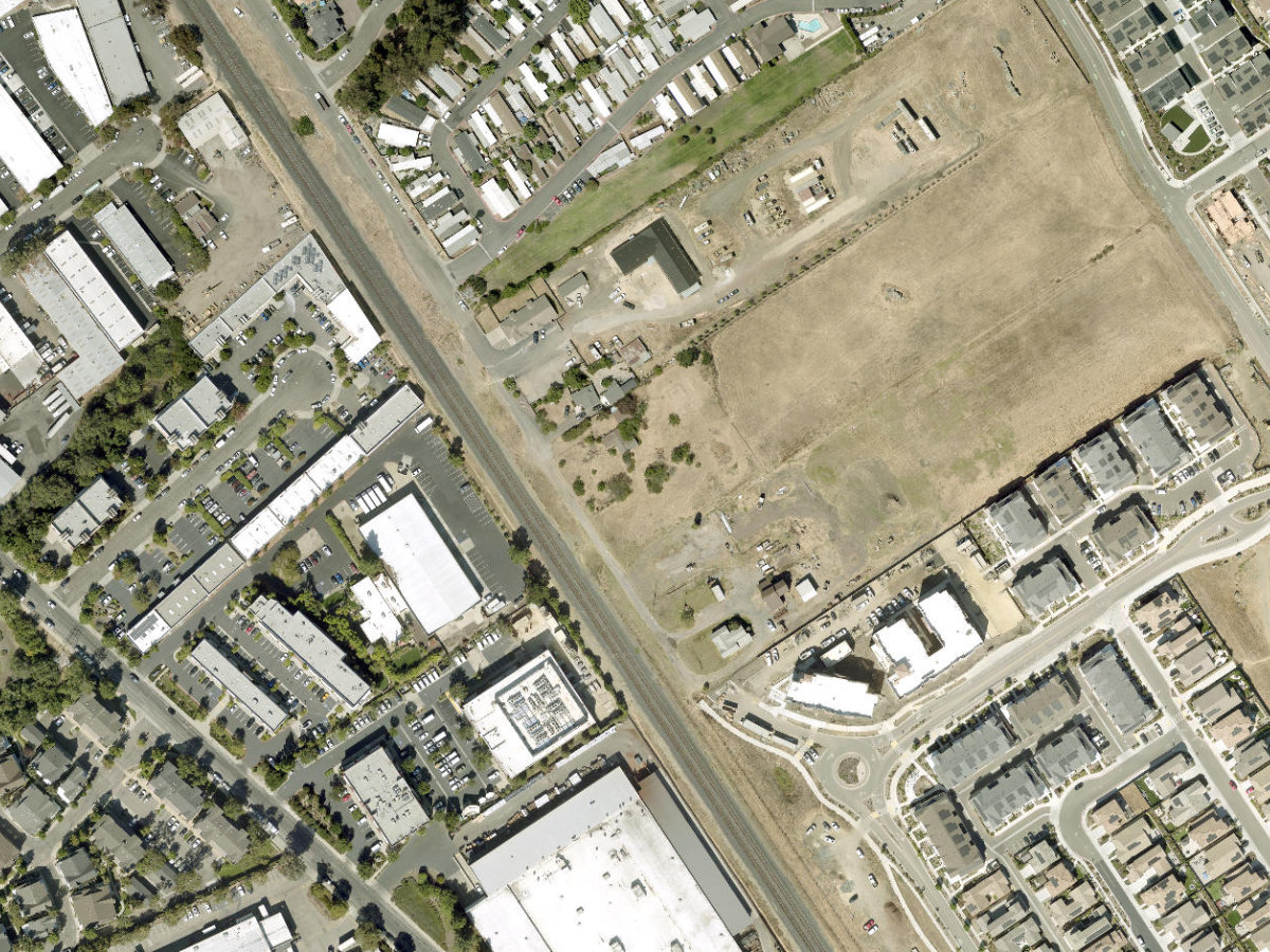
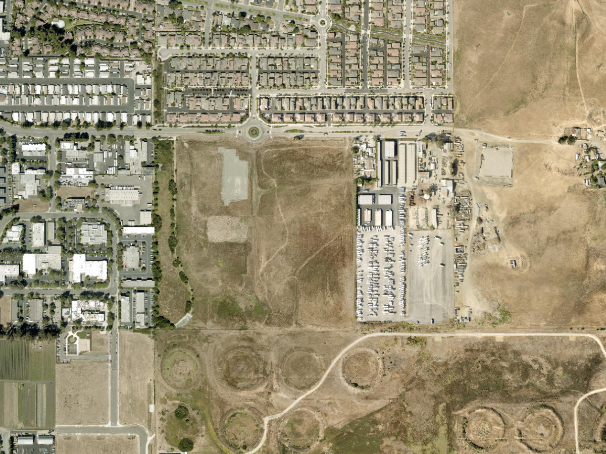
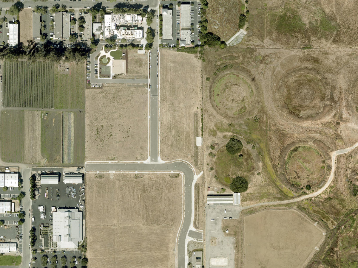
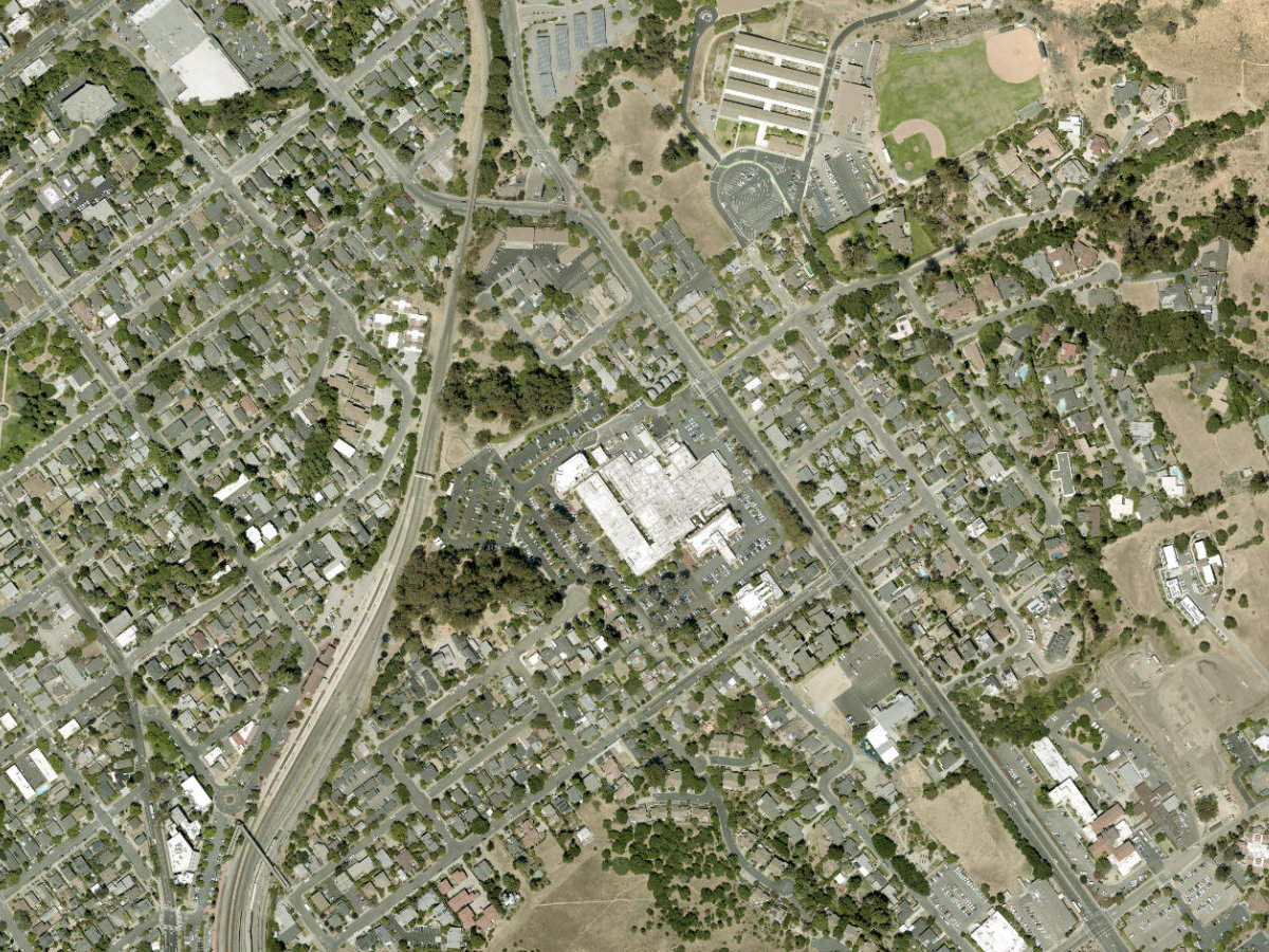
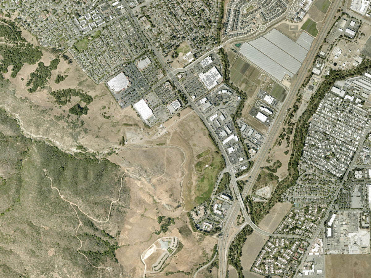
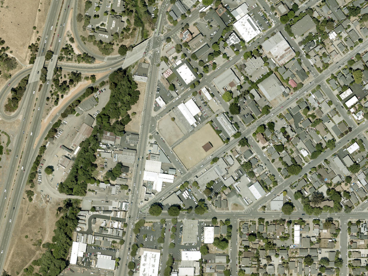
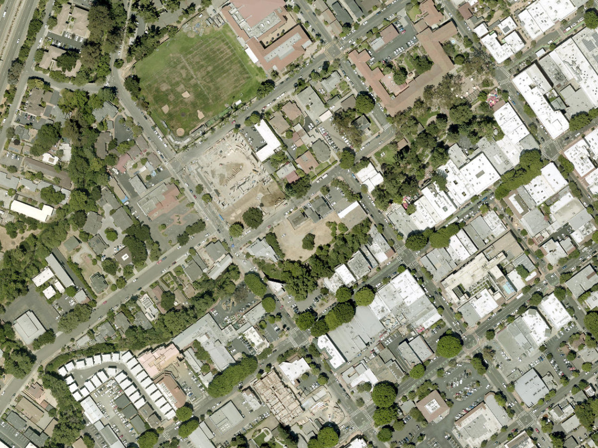
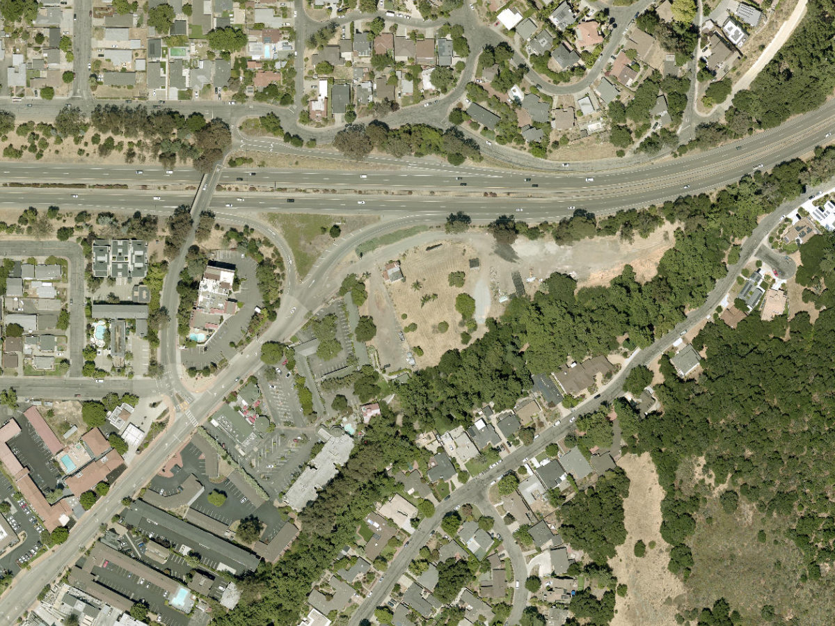
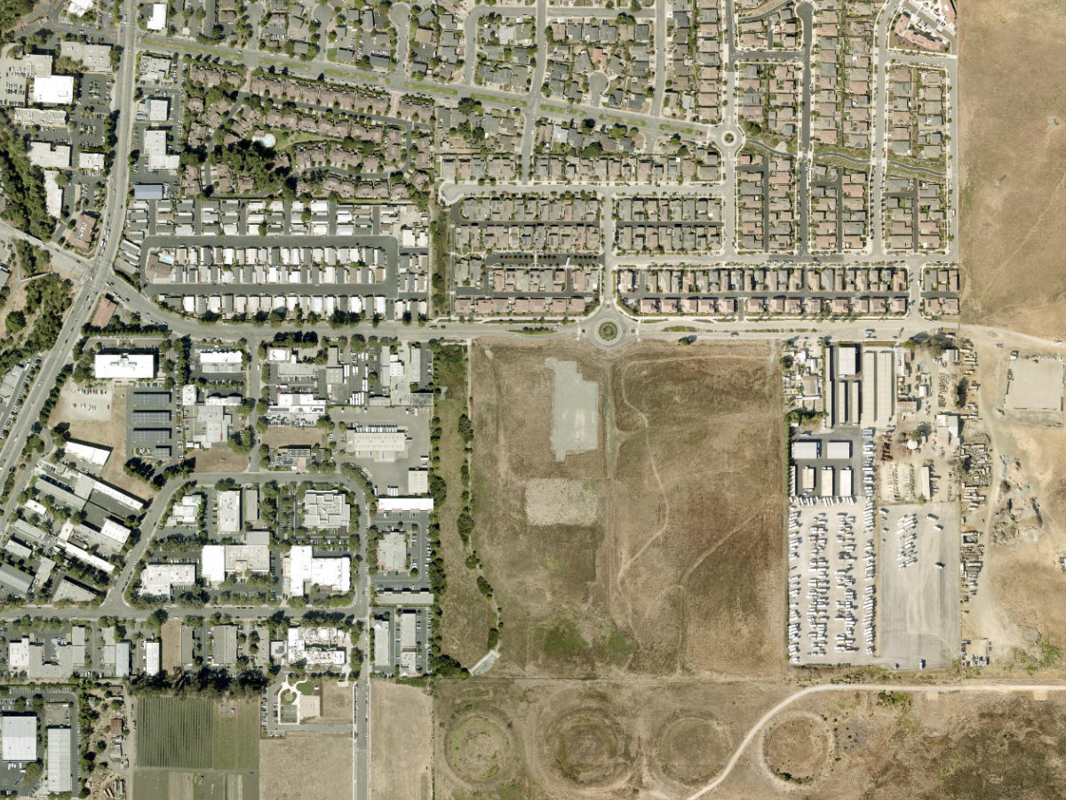
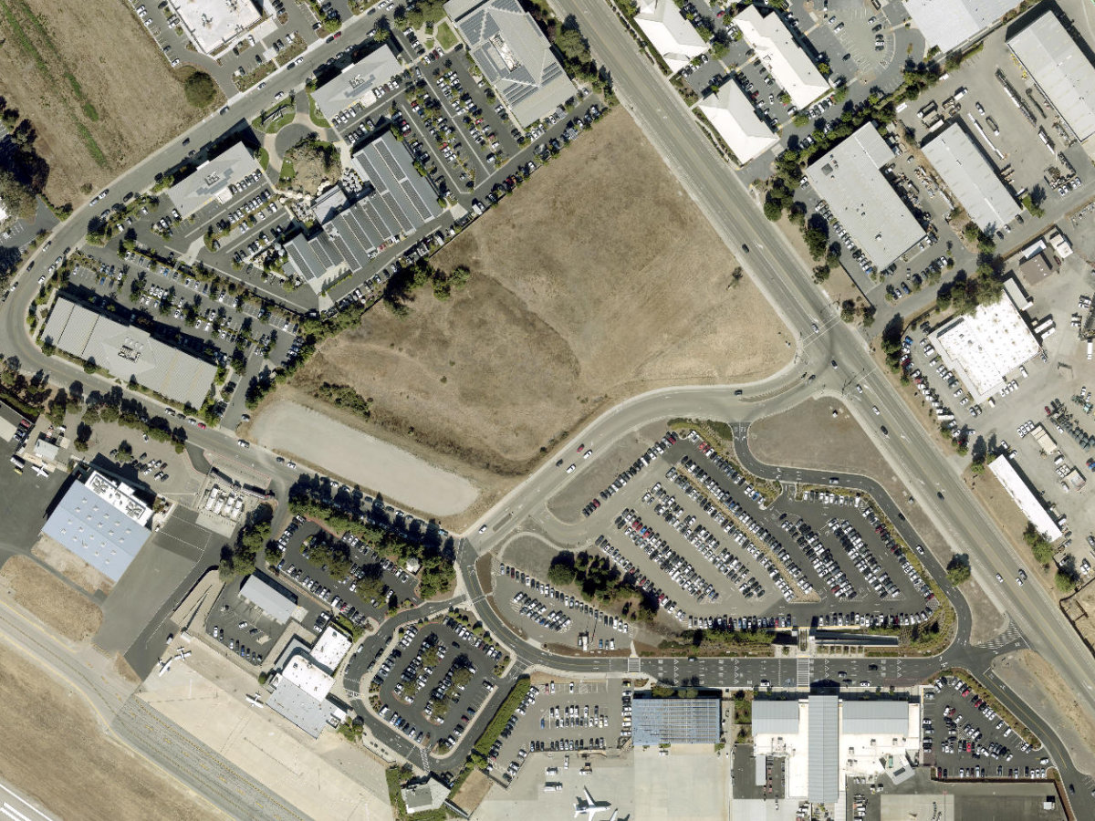
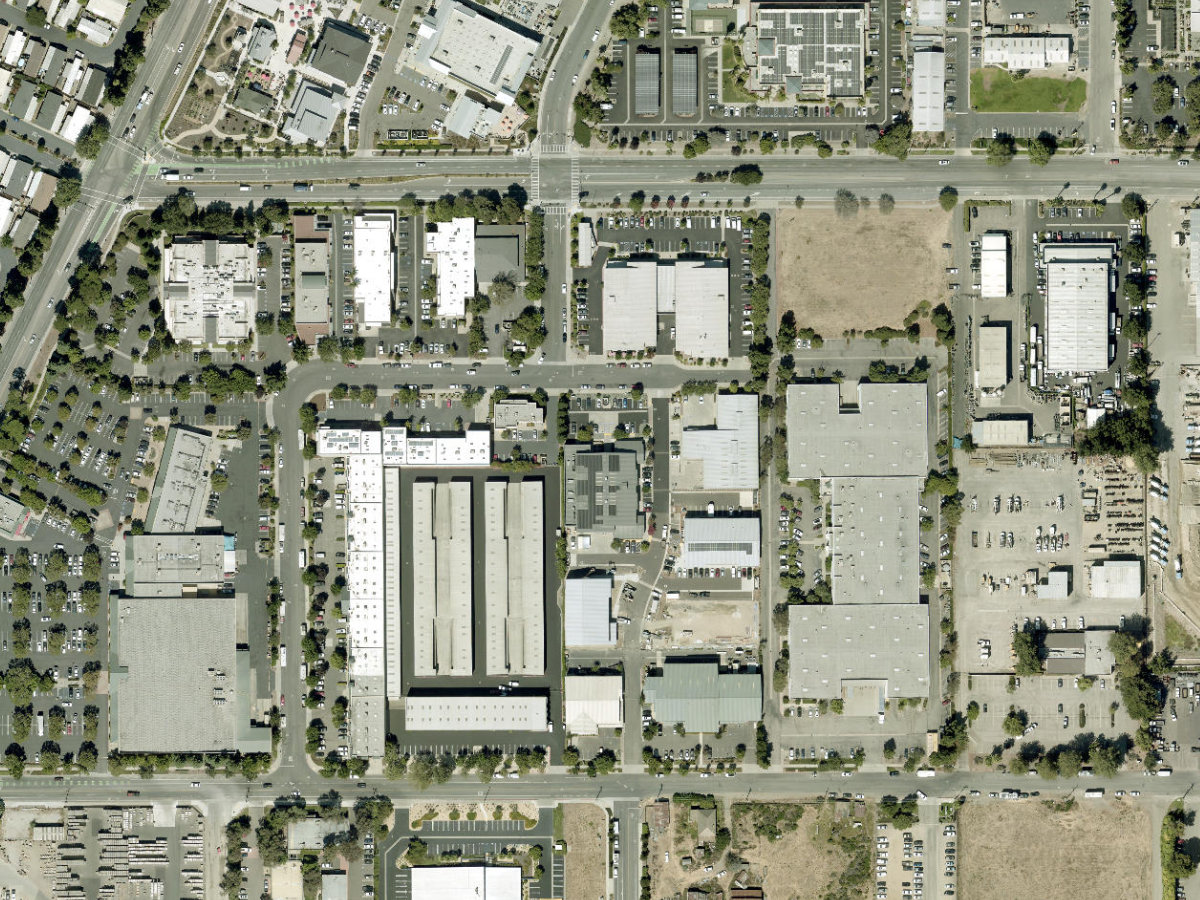
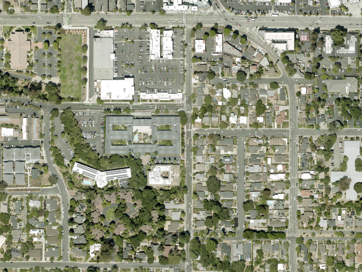
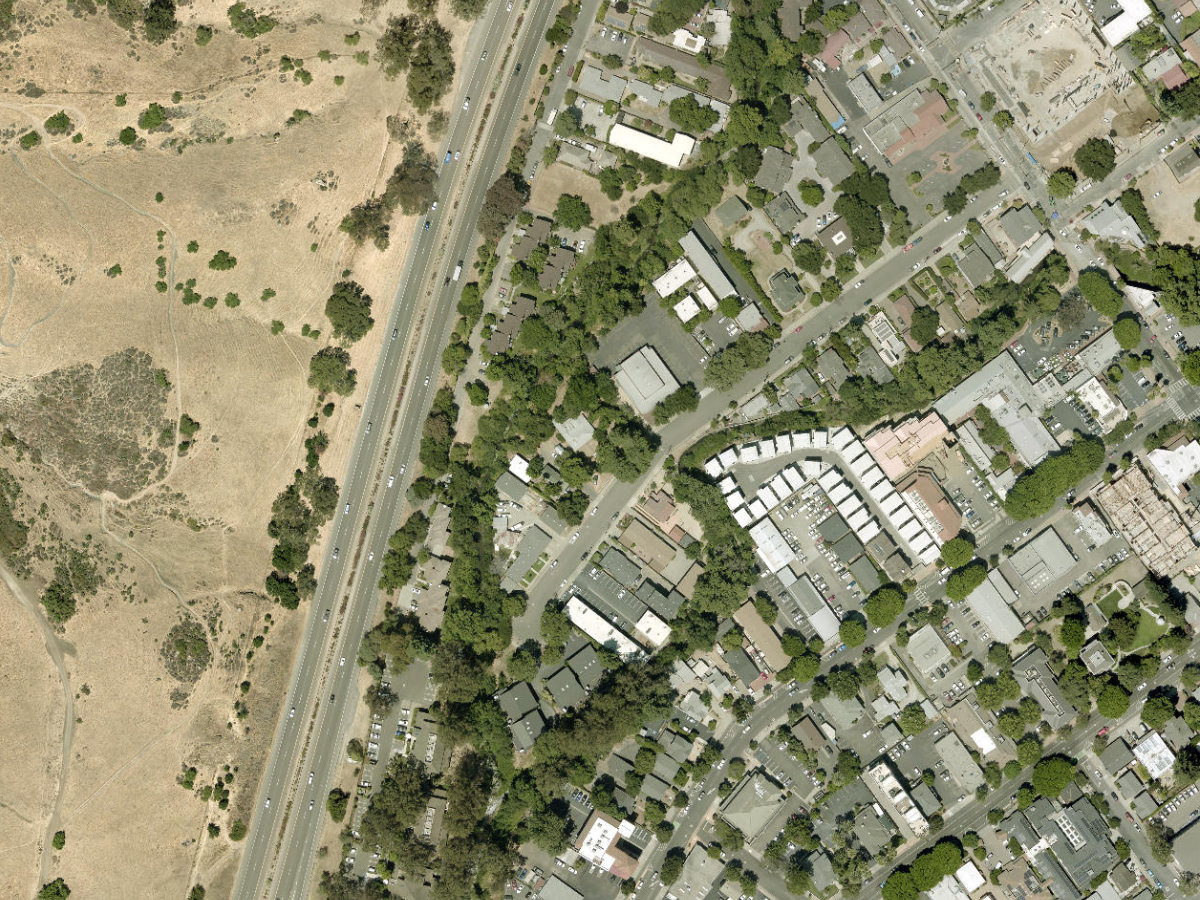
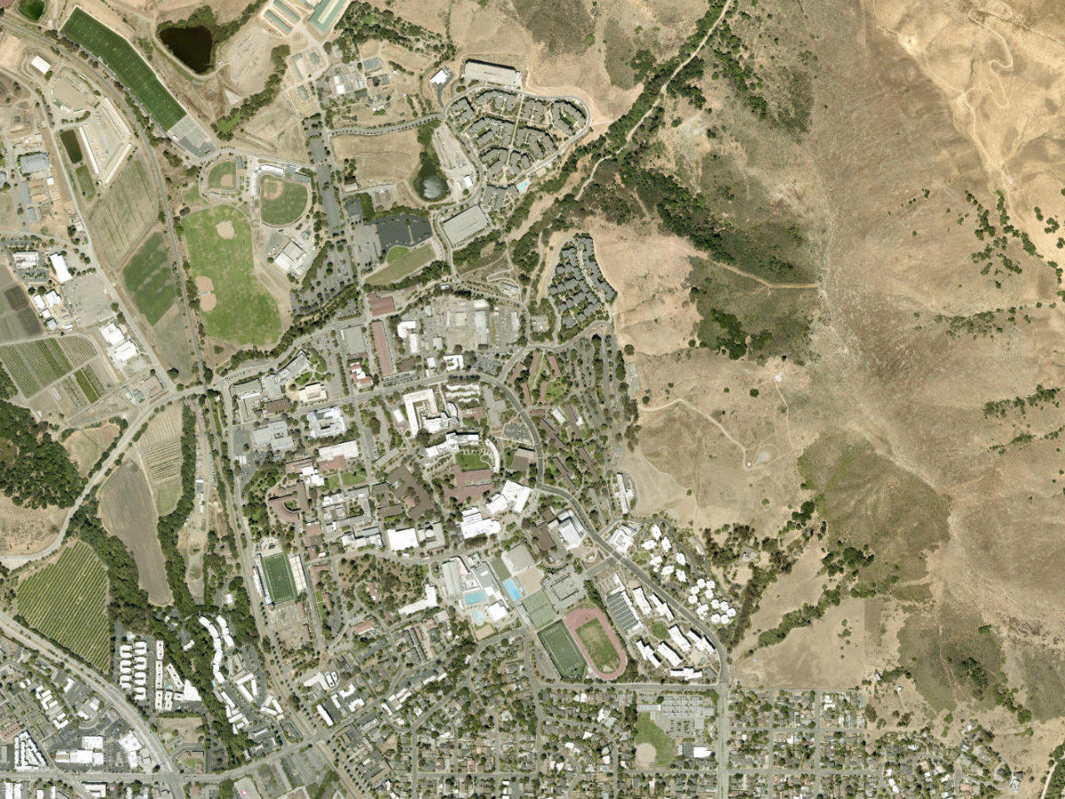
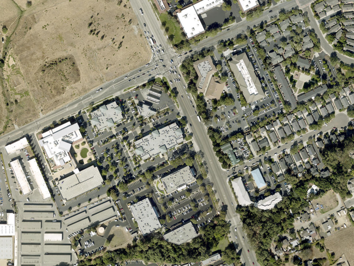
The proposed building/use program above identifies the physical scale currently documented. The aerial shows surrounding streets and existing development, but does not show the future design.
A current approved layout, elevations and site-specific traffic/operations analysis are needed to quantify effects beyond the described program. Missing visuals are flagged rather than replaced with an invented rendering.
Supporting source. Interpretation of the documented program, not a new traffic, shadow, noise, view or property-value study.
Design images not verified: No reliable proposed-design image was retrieved from the reviewed public material. The aerial and documented program provide context without inventing a future building shape.
Base source date: City page checked November 3, 2026. Additional evidence dates appear under Sources. Research cutoff: November 3, 2026.
Audit note: Point marks intersection, not full roadwork extent.
Project details
Funding source
Transportation Facilities Development Impact Fee funds identified by the city; construction award and final budget not established. Source
Public engagement
Community meeting held March 30, 2026. Crown Hill access configuration remains a design decision. Source
Map and parcel evidence
Address/intersection geocode; approximate point, not parcel or project extent. Coordinates: 35.127333, -120.569986.
No complete project parcel list was verified. Nearby parcel lines are context only.
Geocoder match: E Branch St & Huasna Rd, Arroyo Grande, California, 93420. An address match does not establish the extent of a development.
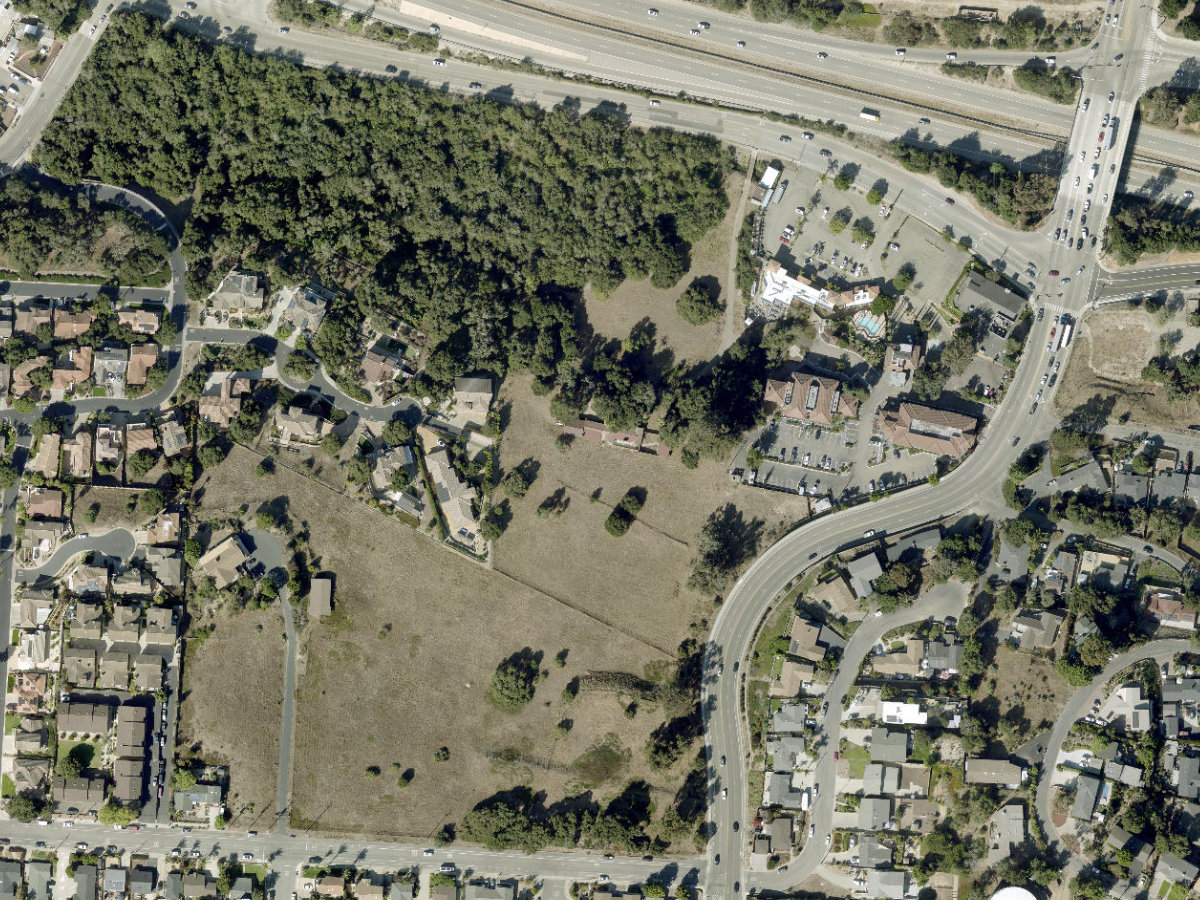
A low-density housing proposal over a large property can leave substantial land outside building pads. The approximately 154-acre property figure must not be read as 154 acres of new pavement or homes.
The current footprint, retained open land, access design and final environmental analysis were not verified. The 100-home concept includes up to 30 senior units.
Supporting source. Interpretation of the documented program, not a new traffic, shadow, noise, view or property-value study.
Design images not verified: No reliable proposed-design image was retrieved from the reviewed public material. The aerial and documented program provide context without inventing a future building shape.
Base source date: November 23, 2025. Additional evidence dates appear under Sources. Research cutoff: November 3, 2026.
Audit note: County authorized processing of a rezoning request, not approval of construction. Unincorporated land near Pismo Beach and Arroyo Grande; included separately as adjacent. Location source: https://gis.slocounty.ca.gov/arcgis/rest/services/Public/opendata/MapServer/0
Map and parcel evidence
County official address point. Site extends beyond this point. Coordinates: 35.141807, -120.604513.
No complete project parcel list was verified. Nearby parcel lines are context only.
Geocoder match: 1007 OAK PARK BLVD, PISMO BEACH. An address match does not establish the extent of a development.
Published project contacts
No project-specific contact was verified in the reviewed material. Use the responsible agency and application reference where available.
The proposal adds or changes residential space at the mapped location. The stated dwelling count describes housing capacity; it is not a forecast of population, parking spillover or traffic.
A verified current architectural image or complete footprint is unavailable unless shown in the gallery. Final height, access, grading and construction sequencing need the approved plans.
Supporting source. Interpretation of the documented program, not a new traffic, shadow, noise, view or property-value study.
Design images not verified: No reliable proposed-design image was retrieved from the reviewed public material. The aerial and documented program provide context without inventing a future building shape.
Base source date: February 27, 2026. Additional evidence dates appear under Sources. Research cutoff: November 3, 2026.
The proposal adds or changes residential space at the mapped location. The stated dwelling count describes housing capacity; it is not a forecast of population, parking spillover or traffic.
A verified current architectural image or complete footprint is unavailable unless shown in the gallery. Final height, access, grading and construction sequencing need the approved plans.
Supporting source. Interpretation of the documented program, not a new traffic, shadow, noise, view or property-value study.
Design images not verified: No reliable proposed-design image was retrieved from the reviewed public material. The aerial and documented program provide context without inventing a future building shape.
Base source date: May 11, 2026. Additional evidence dates appear under Sources. Research cutoff: November 3, 2026.
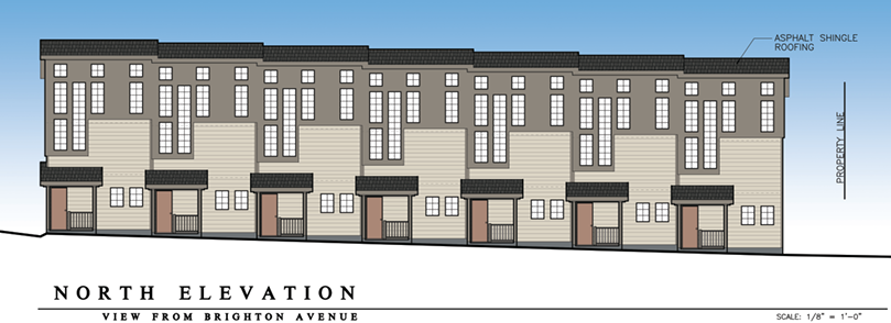
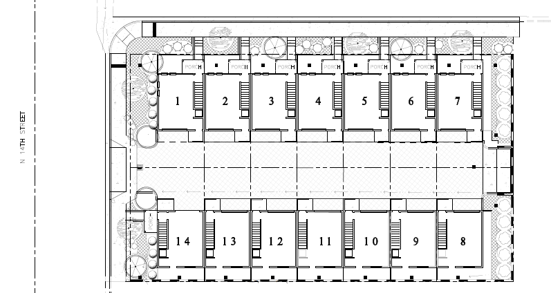
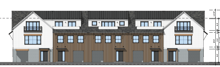
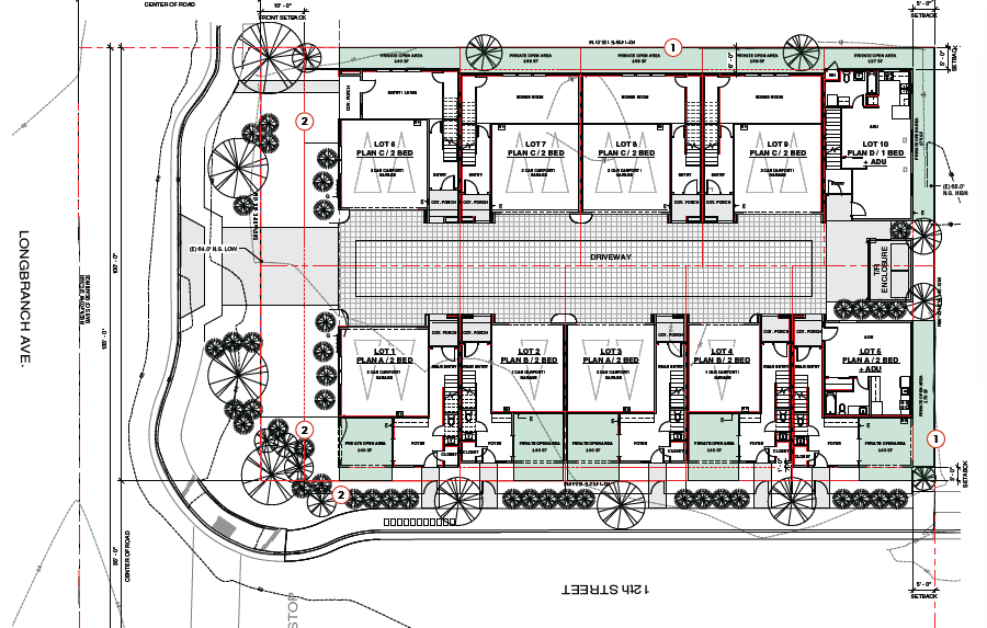
The site drawing organizes 14 townhomes in two facing rows around a central vehicle court. The street elevation shows a three-story row, making the building height and driveway entry the main visible changes.
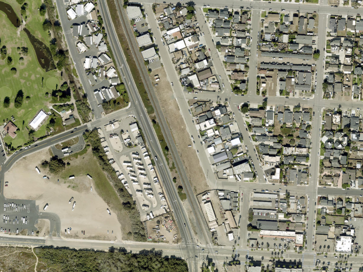
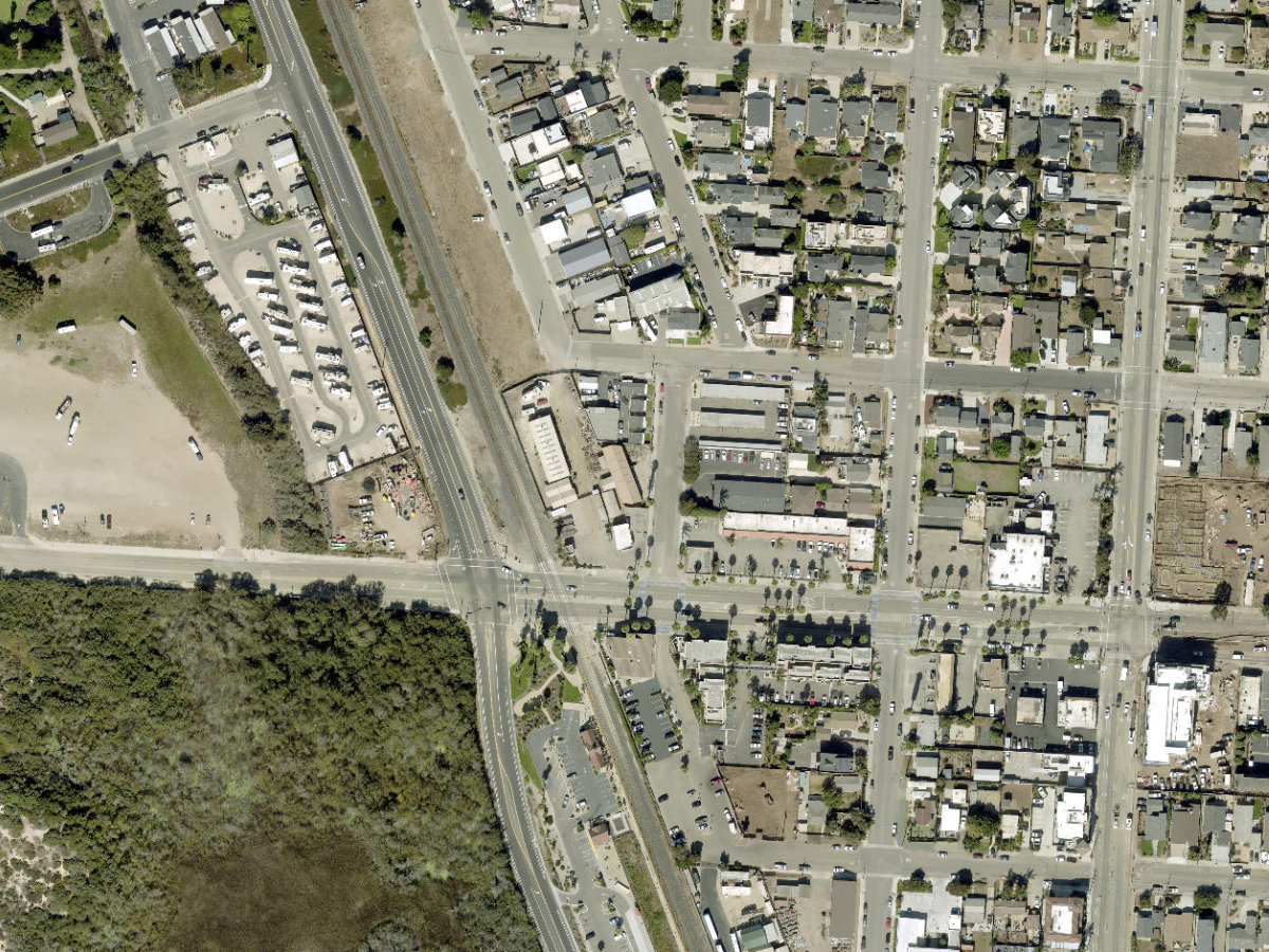
A listed tax parcel is shown on the aerial. The drawing is displayed separately because a parcel match alone does not verify the full construction boundary.
Supporting source. Interpretation of the documented program, not a new traffic, shadow, noise, view or property-value study.
City tracker includes projects with at least five dwellings or 2,500 square feet of new commercial/industrial area. A permit issue date does not establish active construction or completion.
Still to verify
Full permit and inspection history
Confirmed construction start and completion
Current total development cost and funding
RECORD 9 • Grover Beach
359 Front - Mixed-Use
359 Front Street, Grover Beach, CA
Planning review Mixed use · Jurisdiction: Grover Beach
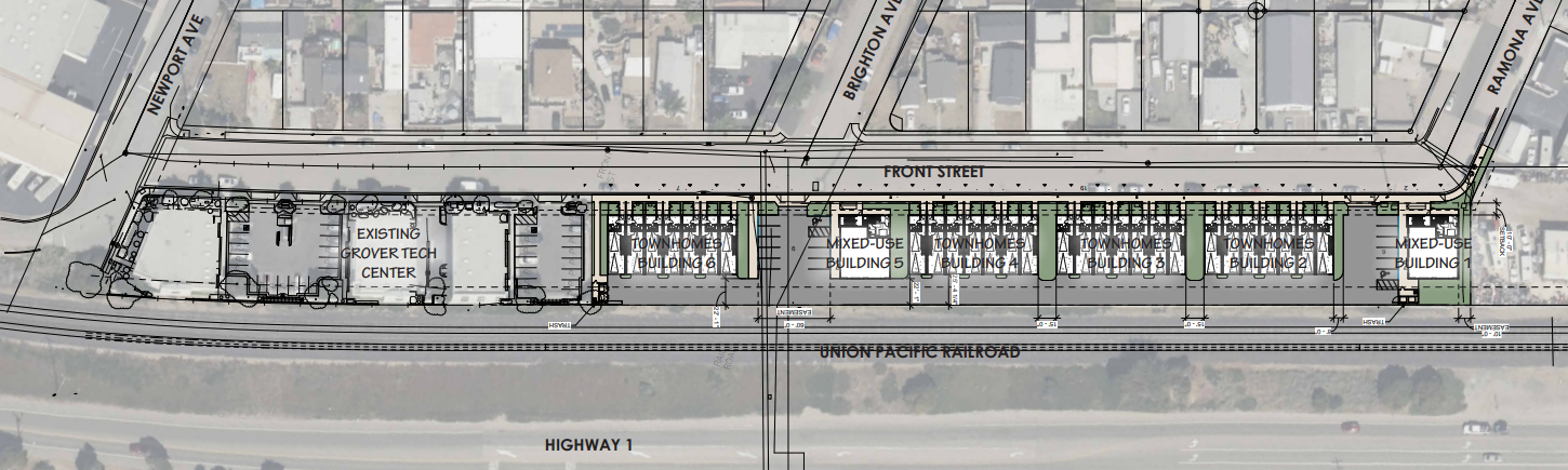
Development review of a three-story mixed-use project consisting of 3,114 square feet of commercial space, and 36 residential units (28 Townhomes & 8 condominiums).
The plan uses a long, narrow Front Street site with multiple residential blocks and a commercial component. Its length along the corridor matters as much as individual building height.
The city describes three stories, 36 homes and 3,114 square feet of commercial space. Final driveway operations and traffic volumes are not quantified in the reviewed material.
Supporting source. Interpretation of the documented program, not a new traffic, shadow, noise, view or property-value study.
City tracker includes projects with at least five dwellings or 2,500 square feet of new commercial/industrial area. A permit issue date does not establish active construction or completion.
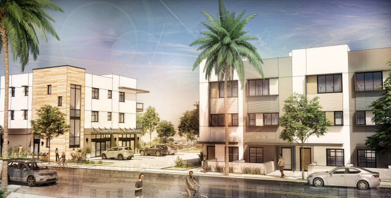
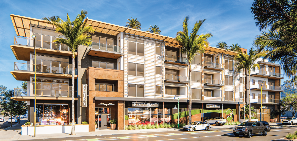
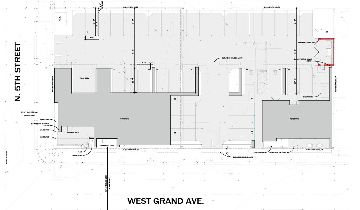
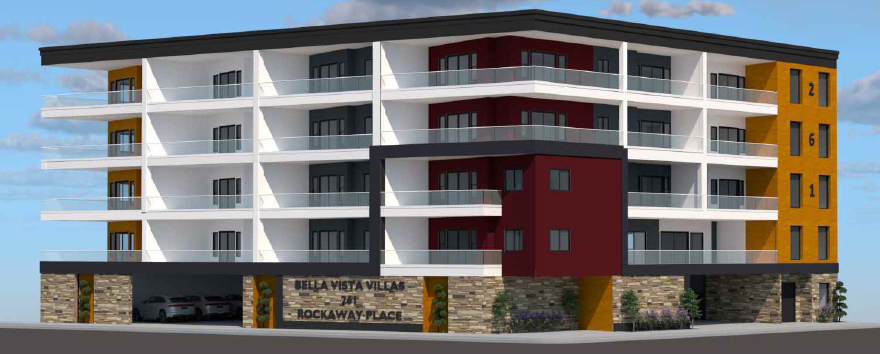
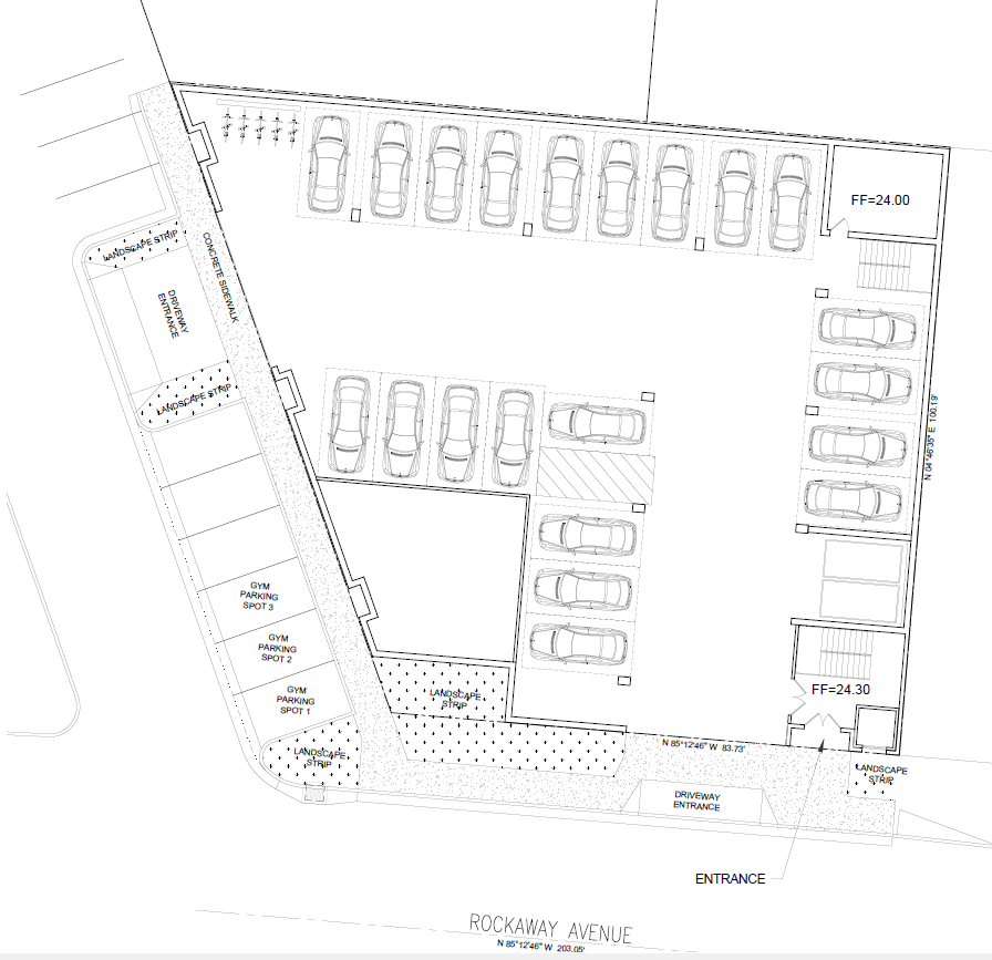
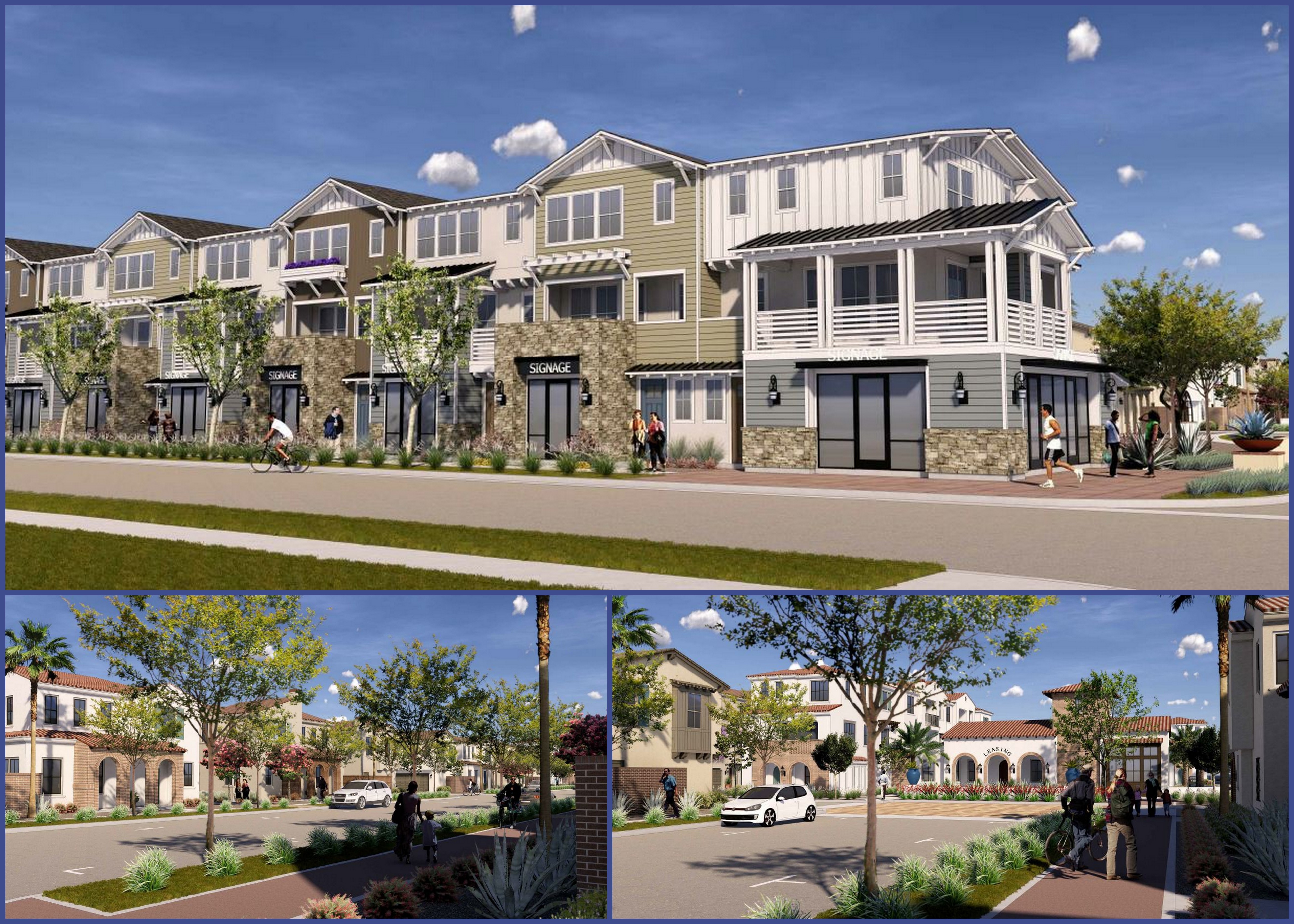
The four-story proposal creates a substantial frontage at West Grand and North 5th. The published ground-level plan shows how the building and entry/vehicle areas occupy the corner.
Thirty homes and 2,300 square feet of commercial space are in the city description. The rendering conveys architectural intent, not a guarantee of final finishes.
Supporting source. Interpretation of the documented program, not a new traffic, shadow, noise, view or property-value study.
City tracker includes projects with at least five dwellings or 2,500 square feet of new commercial/industrial area. A permit issue date does not establish active construction or completion.
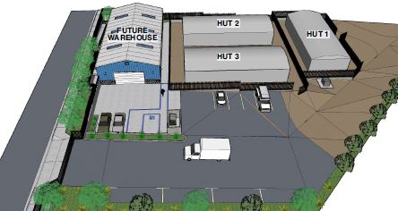
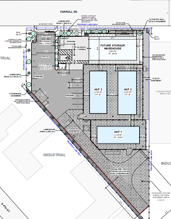
Development of a single-story Broadband Communication Distribution Center, consisting of 9,781 square feet of non-residential space, across four structures.
The broadband compound contains several separate equipment/warehouse structures and internal maneuvering space. Its footprint differs from a single large office building.
The city identifies 9,781 square feet across four structures. Equipment noise, service-vehicle timing and final screening details require the approved plans.
Supporting source. Interpretation of the documented program, not a new traffic, shadow, noise, view or property-value study.
City tracker includes projects with at least five dwellings or 2,500 square feet of new commercial/industrial area. A permit issue date does not establish active construction or completion.
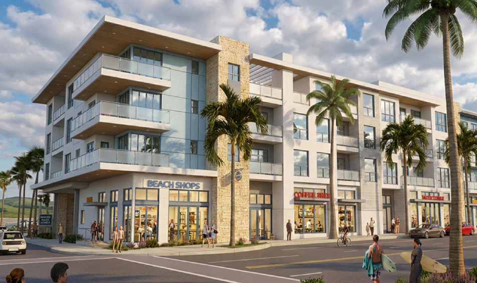
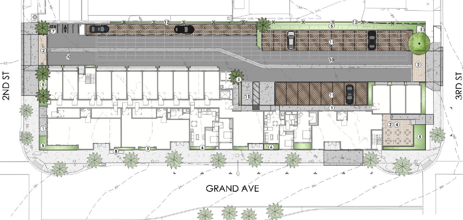
The four-story building addresses West Grand while the plan places vehicle circulation and parking behind the street-facing spaces. It changes nearly a full block frontage between 2nd and 3rd Streets.
The newer city program is 39 homes and 4,100 square feet of commercial/patio area. The aerial overlay is an approximate alignment of the published drawing, not a surveyed building location.
Supporting source. Interpretation of the documented program, not a new traffic, shadow, noise, view or property-value study.
City tracker includes projects with at least five dwellings or 2,500 square feet of new commercial/industrial area. A permit issue date does not establish active construction or completion.
The older 2025 annual report listed 40 units and 5,018 commercial square feet. The August 2026 approval and October tracker list 39 and 4,100; newer figures are retained.
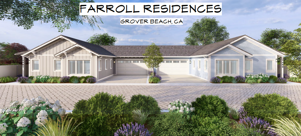
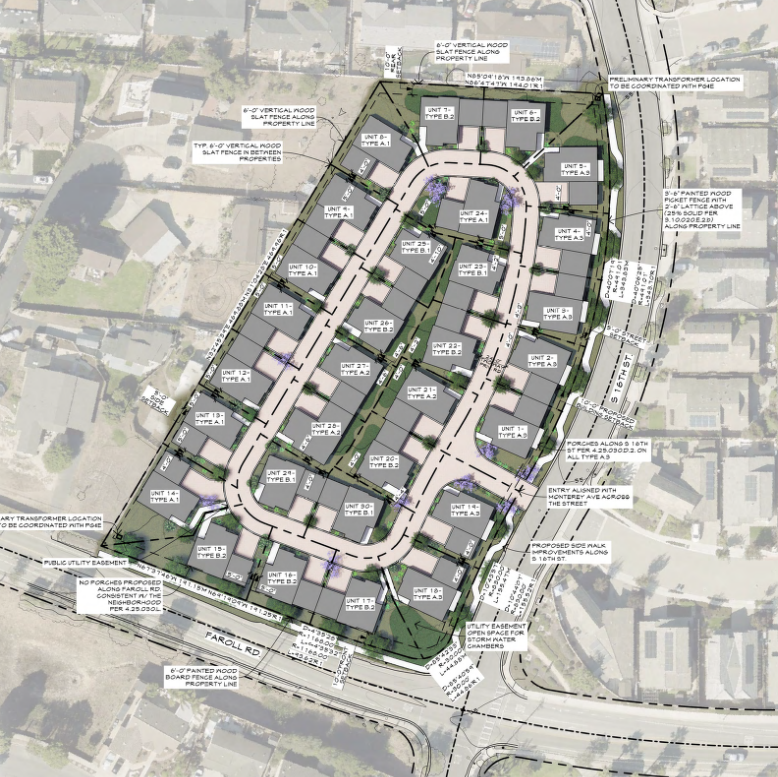
Development review of a tract home project consisting of 30 single-story attached homes. The project includes a request to rezone the property from R1 to R2.
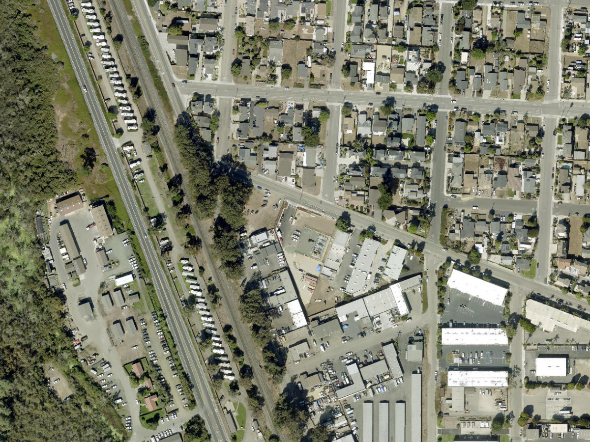
The layout forms a new internal loop with rows of attached single-story homes. Compared with taller mixed-use projects, land coverage and the access connection to Farroll Road are the dominant physical changes.
City tracker includes projects with at least five dwellings or 2,500 square feet of new commercial/industrial area. A permit issue date does not establish active construction or completion.
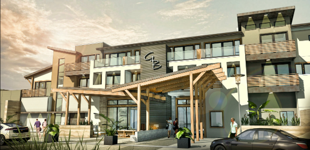
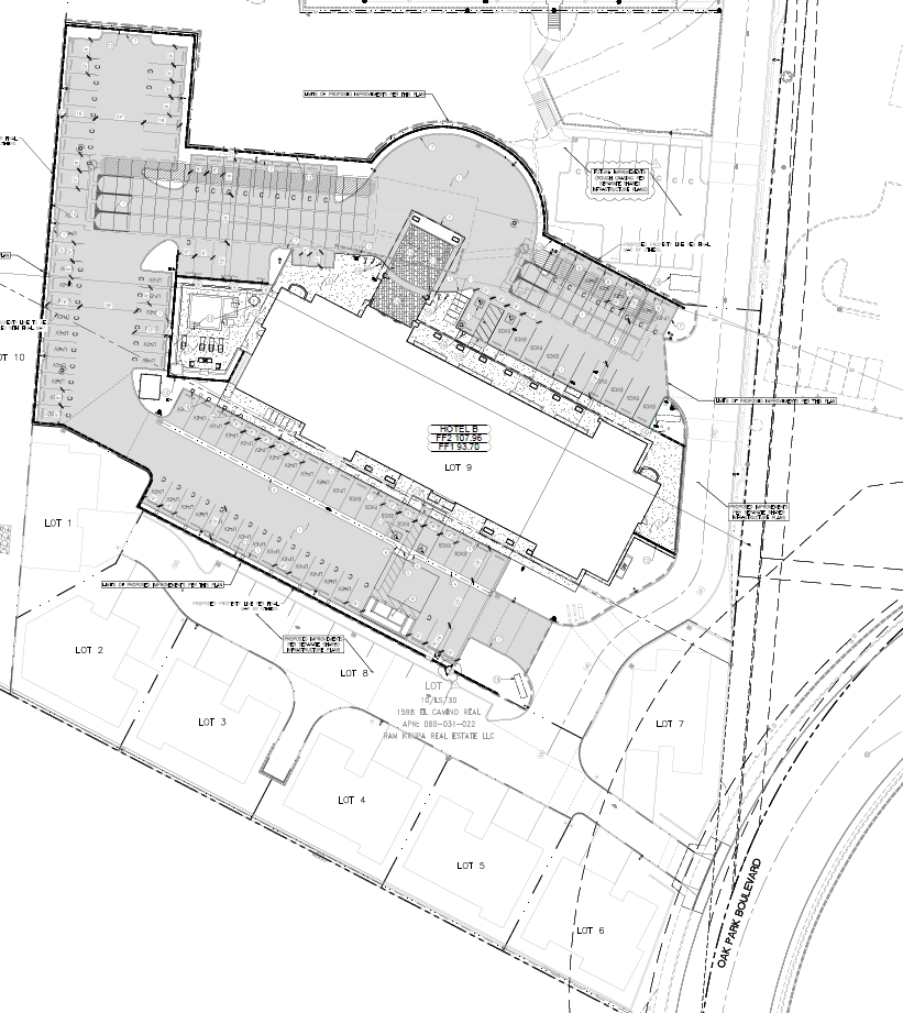
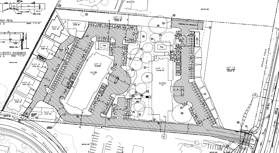
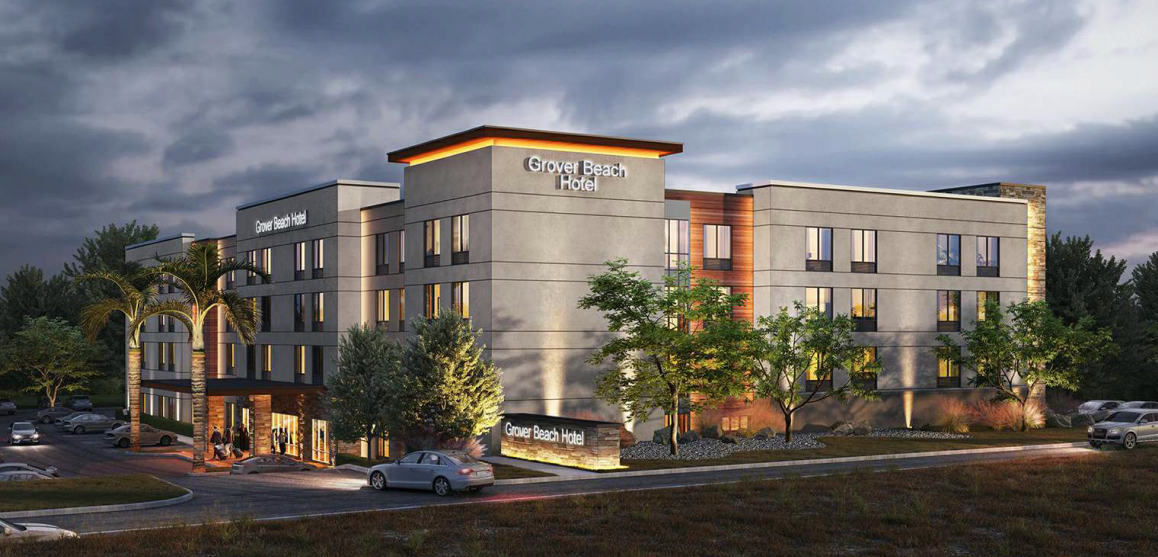
Three hotel structures spread the 144-room program across the site. The rendering shows the intended arrival and facade treatment, but does not define every site boundary or operational impact.
The permit/program history needs to be read alongside current status. Hotel arrivals, service deliveries and event activity cannot be quantified from room count alone.
Supporting source. Interpretation of the documented program, not a new traffic, shadow, noise, view or property-value study.
City tracker includes projects with at least five dwellings or 2,500 square feet of new commercial/industrial area. A permit issue date does not establish active construction or completion.
The plan shows housing around a central drive, with the Long Branch frontage at one side and the 13th Street corner at the other. Two- to three-story elevations establish its street scale.
City tracker includes projects with at least five dwellings or 2,500 square feet of new commercial/industrial area. A permit issue date does not establish active construction or completion.
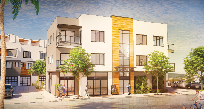
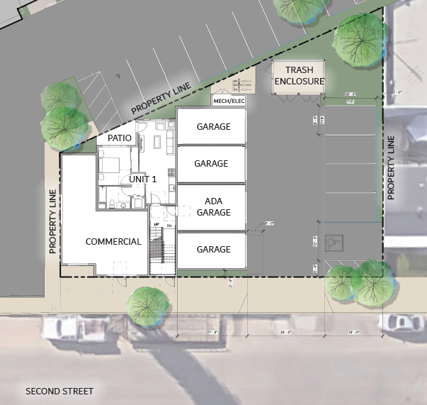
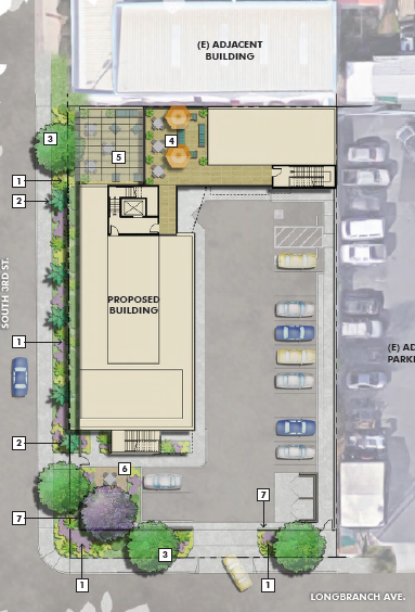
A three-story corner building combines street-level commercial activity with housing. The published ground plan locates garages, a vehicle aisle and refuse space behind or beside the frontage.
City tracker includes projects with at least five dwellings or 2,500 square feet of new commercial/industrial area. A permit issue date does not establish active construction or completion.
The layout distributes townhomes around internal drives with commercial space near the street. The project affects a larger assembled site than the entrance pin alone suggests.
The city program is 20 townhomes and 5,120 square feet of commercial space. Rezoning/approval and the final access conditions should be checked before treating the illustration as committed construction.
Supporting source. Interpretation of the documented program, not a new traffic, shadow, noise, view or property-value study.
City tracker includes projects with at least five dwellings or 2,500 square feet of new commercial/industrial area. A permit issue date does not establish active construction or completion.
The rendering shows a five-story mixed-use building, while the parking diagram explains the ground-level vehicle arrangement. Its vertical scale is the principal visual issue for nearby lower buildings.
Twenty condos and 900 commercial square feet are proposed. Building approval and construction status remain separate from the existence of a rendering.
Supporting source. Interpretation of the documented program, not a new traffic, shadow, noise, view or property-value study.
City tracker includes projects with at least five dwellings or 2,500 square feet of new commercial/industrial area. A permit issue date does not establish active construction or completion.
The proposed building/use program above identifies the physical scale currently documented. The aerial shows surrounding streets and existing development, but does not show the future design.
A current approved layout, elevations and site-specific traffic/operations analysis are needed to quantify effects beyond the described program. Missing visuals are flagged rather than replaced with an invented rendering.
Supporting source. Interpretation of the documented program, not a new traffic, shadow, noise, view or property-value study.
Design images not verified: No reliable proposed-design image was retrieved from the reviewed public material. The aerial and documented program provide context without inventing a future building shape.
Base source date: FY 2026-27 budget update. Additional evidence dates appear under Sources. Research cutoff: November 3, 2026.
Audit note: Budgeted program, not a verified construction start. Representative point for a multi-street project.
Map and parcel evidence
Address/intersection geocode; approximate point, not parcel or project extent. Coordinates: 35.129185, -120.625902.
No complete project parcel list was verified. Nearby parcel lines are context only.
Geocoder match: N 4th St & Ocean View Ave, Grover Beach, California, 93433. An address match does not establish the extent of a development.
Published project contacts
No project-specific contact was verified in the reviewed material. Use the responsible agency and application reference where available.
Development of a three-story mixed-use project, consisting of 17,043 square feet of industrial and office space, one live/work unit, and one caretaker's unit.
The elevation combines industrial/office accommodation with residential uses. The plan places a large building behind the Long Branch frontage and shows its relationship to adjoining property.
The city lists 17,043 square feet plus one live/work and one caretaker unit. Loading, service access and occupied-unit counts need to be distinguished.
Supporting source. Interpretation of the documented program, not a new traffic, shadow, noise, view or property-value study.
City tracker includes projects with at least five dwellings or 2,500 square feet of new commercial/industrial area. A permit issue date does not establish active construction or completion.
A four-story hotel mass and on-site parking are shown in the phase-one drawing. It shares a broader development setting with the separately tracked phase two.
City tracker includes projects with at least five dwellings or 2,500 square feet of new commercial/industrial area. A permit issue date does not establish active construction or completion.
The city describes 60 hotel rooms and seven homes. This phase shares a broader site with phase one; the common infrastructure is not an independent second project area.
Supporting source. Interpretation of the documented program, not a new traffic, shadow, noise, view or property-value study.
City tracker includes projects with at least five dwellings or 2,500 square feet of new commercial/industrial area. A permit issue date does not establish active construction or completion.
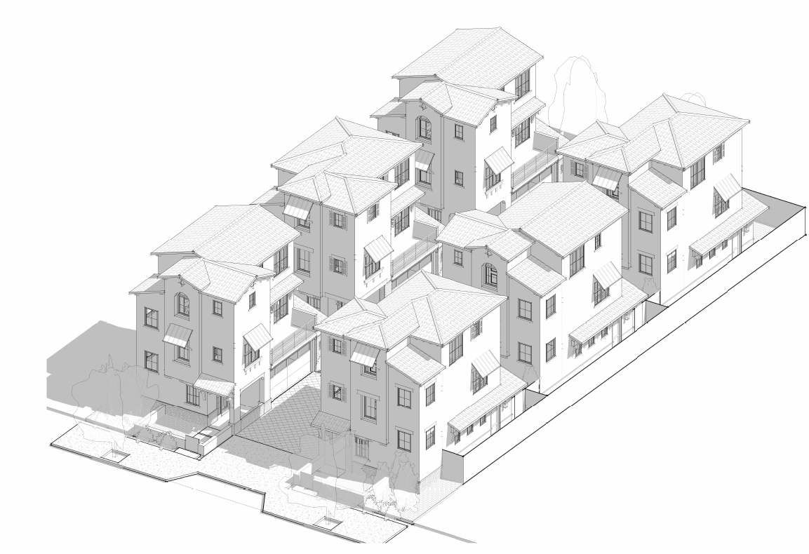
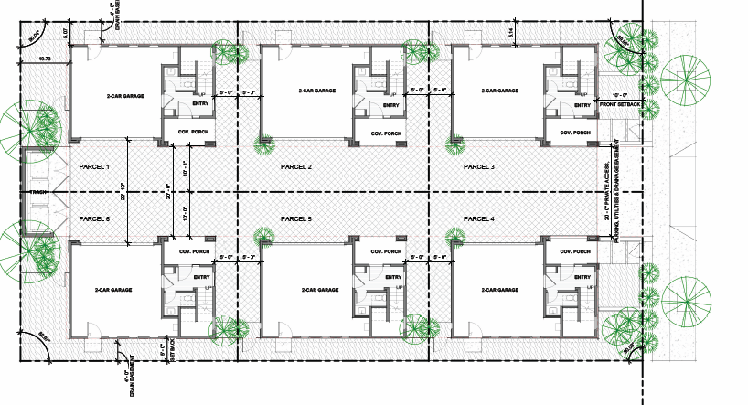
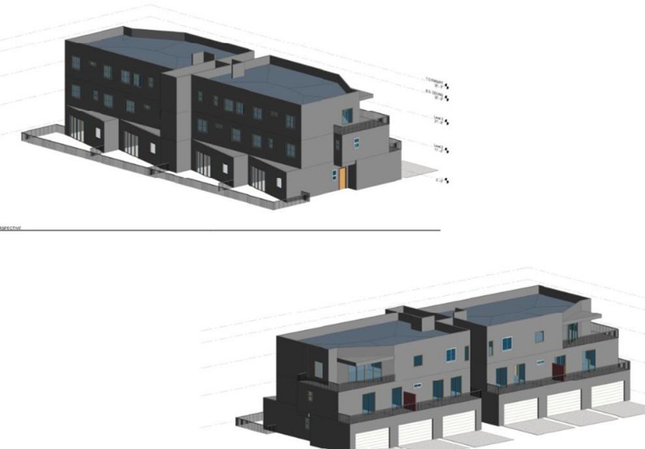
Six three-story homes are arranged around a common driveway. The building elevations and upper decks, rather than a large public street network, drive the visual change.
City tracker includes projects with at least five dwellings or 2,500 square feet of new commercial/industrial area. A permit issue date does not establish active construction or completion.
Building review Mixed use · Jurisdiction: Grover Beach
Development of a four-story mixed-use project consisting of 2,500 square feet of commercial/retail space, 7 hotel units, and 58 residential apartments.
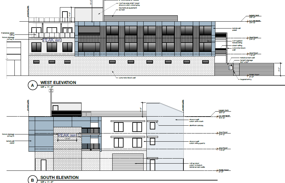
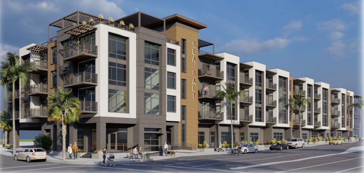
The four-story rendering shows a continuous mixed-use frontage with ground-floor activity, upper housing and prominent corner massing. This is a substantial change in street scale along West Grand.
The program combines 58 apartments, seven hotel units and 2,500 commercial square feet. The reviewed filing reports 60 parking spaces versus 78 otherwise required. That difference does not itself measure future spillover parking.
Supporting source. Interpretation of the documented program, not a new traffic, shadow, noise, view or property-value study.
City tracker includes projects with at least five dwellings or 2,500 square feet of new commercial/industrial area. A permit issue date does not establish active construction or completion.
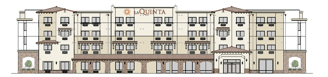
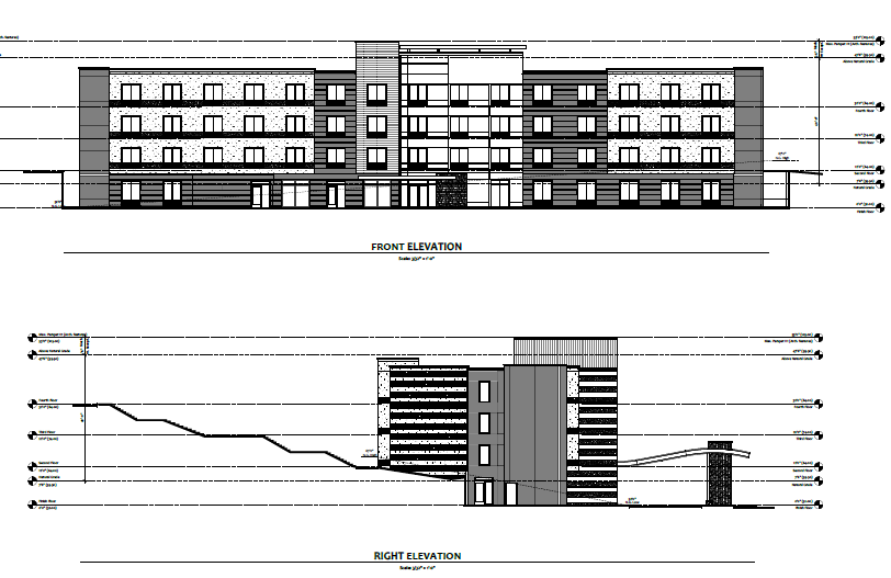
A four-story, 135-room hotel changes the corridor skyline and concentrates visitor arrivals at one site. The published rendering explains the intended facade and landscaping.
City tracker includes projects with at least five dwellings or 2,500 square feet of new commercial/industrial area. A permit issue date does not establish active construction or completion.
The proposed building/use program above identifies the physical scale currently documented. The aerial shows surrounding streets and existing development, but does not show the future design.
A current approved layout, elevations and site-specific traffic/operations analysis are needed to quantify effects beyond the described program. Missing visuals are flagged rather than replaced with an invented rendering.
Supporting source. Interpretation of the documented program, not a new traffic, shadow, noise, view or property-value study.
Design images not verified: No reliable proposed-design image was retrieved from the reviewed public material. The aerial and documented program provide context without inventing a future building shape.
Base source date: FY 2026-27 budget update. Additional evidence dates appear under Sources. Research cutoff: November 3, 2026.
Audit note: Budgeted program, not a verified construction start. Representative point for a multi-street project.
Map and parcel evidence
Address/intersection geocode; approximate point, not parcel or project extent. Coordinates: 35.123860, -120.620097.
No complete project parcel list was verified. Nearby parcel lines are context only.
Geocoder match: N 9th St & Brighton Ave, Grover Beach, California, 93433. An address match does not establish the extent of a development.
Published project contacts
No project-specific contact was verified in the reviewed material. Use the responsible agency and application reference where available.
The proposed building/use program above identifies the physical scale currently documented. The aerial shows surrounding streets and existing development, but does not show the future design.
A current approved layout, elevations and site-specific traffic/operations analysis are needed to quantify effects beyond the described program. Missing visuals are flagged rather than replaced with an invented rendering.
Supporting source. Interpretation of the documented program, not a new traffic, shadow, noise, view or property-value study.
Design images not verified: No reliable proposed-design image was retrieved from the reviewed public material. The aerial and documented program provide context without inventing a future building shape.
Base source date: FY 2026-27 budget update. Additional evidence dates appear under Sources. Research cutoff: November 3, 2026.
Audit note: Budgeted program, not a verified construction start. Representative point for a multi-street project.
Map and parcel evidence
Address/intersection geocode; approximate point, not parcel or project extent. Coordinates: 35.122734, -120.623862.
No complete project parcel list was verified. Nearby parcel lines are context only.
Geocoder match: N 6th St & Ramona Ave, Grover Beach, California, 93433. An address match does not establish the extent of a development.
Published project contacts
No project-specific contact was verified in the reviewed material. Use the responsible agency and application reference where available.
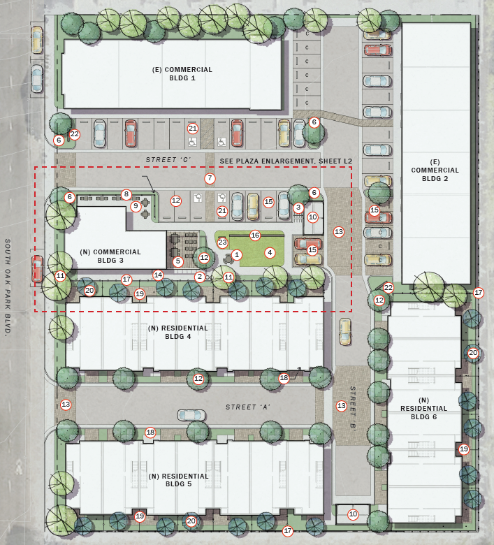
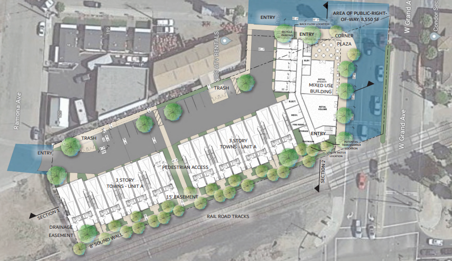
Development of a four-story mixed-use project, consisting of 2,500 square feet of commercial/restaurant space, and 23 residential units (including 16 townhomes and 7 condominiums).
The city lists 23 homes and 2,500 square feet of commercial/restaurant space. The plaza and circulation shown should be checked against the final construction drawings.
Supporting source. Interpretation of the documented program, not a new traffic, shadow, noise, view or property-value study.
City tracker includes projects with at least five dwellings or 2,500 square feet of new commercial/industrial area. A permit issue date does not establish active construction or completion.
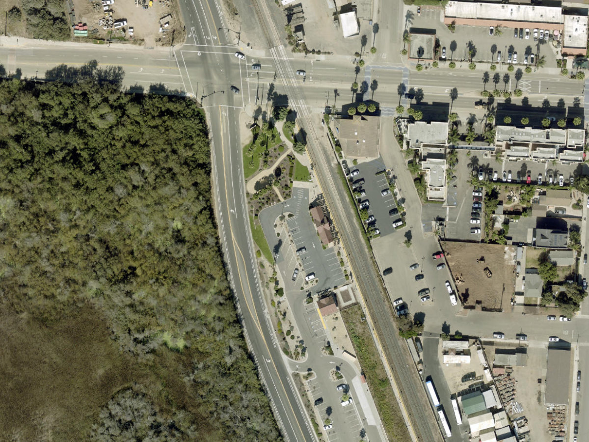
Station accessibility work changes the passenger path, platform or associated facilities within an existing transportation site. Its extent should be read from the agency design, not just a tax parcel.
An accessibility improvement does not itself establish new train service, ridership or a development-capacity increase.
Supporting source. Interpretation of the documented program, not a new traffic, shadow, noise, view or property-value study.
Design images not verified: No reliable proposed-design image was retrieved from the reviewed public material. The aerial and documented program provide context without inventing a future building shape.
Base source date: October 9, 2026. Additional evidence dates appear under Sources. Research cutoff: November 3, 2026.
The proposed building/use program above identifies the physical scale currently documented. The aerial shows surrounding streets and existing development, but does not show the future design.
A current approved layout, elevations and site-specific traffic/operations analysis are needed to quantify effects beyond the described program. Missing visuals are flagged rather than replaced with an invented rendering.
Supporting source. Interpretation of the documented program, not a new traffic, shadow, noise, view or property-value study.
Design images not verified: No reliable proposed-design image was retrieved from the reviewed public material. The aerial and documented program provide context without inventing a future building shape.
Base source date: November 10, 2025. Additional evidence dates appear under Sources. Research cutoff: November 3, 2026.
The proposal adds or changes residential space at the mapped location. The stated dwelling count describes housing capacity; it is not a forecast of population, parking spillover or traffic.
A verified current architectural image or complete footprint is unavailable unless shown in the gallery. Final height, access, grading and construction sequencing need the approved plans.
Supporting source. Interpretation of the documented program, not a new traffic, shadow, noise, view or property-value study.
Design images not verified: No reliable proposed-design image was retrieved from the reviewed public material. The aerial and documented program provide context without inventing a future building shape.
Base source date: June 2, 2026. Additional evidence dates appear under Sources. Research cutoff: November 3, 2026.
The proposal adds or changes residential space at the mapped location. The stated dwelling count describes housing capacity; it is not a forecast of population, parking spillover or traffic.
A verified current architectural image or complete footprint is unavailable unless shown in the gallery. Final height, access, grading and construction sequencing need the approved plans.
Supporting source. Interpretation of the documented program, not a new traffic, shadow, noise, view or property-value study.
Design images not verified: No reliable proposed-design image was retrieved from the reviewed public material. The aerial and documented program provide context without inventing a future building shape.
Base source date: August 25, 2026. Additional evidence dates appear under Sources. Research cutoff: November 3, 2026.
The proposal adds or changes residential space at the mapped location. The stated dwelling count describes housing capacity; it is not a forecast of population, parking spillover or traffic.
A verified current architectural image or complete footprint is unavailable unless shown in the gallery. Final height, access, grading and construction sequencing need the approved plans.
Supporting source. Interpretation of the documented program, not a new traffic, shadow, noise, view or property-value study.
Design images not verified: No reliable proposed-design image was retrieved from the reviewed public material. The aerial and documented program provide context without inventing a future building shape.
Base source date: April 7, 2026. Additional evidence dates appear under Sources. Research cutoff: November 3, 2026.
Notice of Exemption filed. See source for exemption basis. Source
Map and parcel evidence
Mapped at the parent-property address, 886 N 1st Street. Project filing identifies the new ADU as 888 N 1st Street. Approximate location. Coordinates: 35.130844, -120.628440.
No complete project parcel list was verified. Nearby parcel lines are context only.
Geocoder match: 886 N 1st St, Grover Beach, California, 93433. An address match does not establish the extent of a development.
The proposal adds or changes residential space at the mapped location. The stated dwelling count describes housing capacity; it is not a forecast of population, parking spillover or traffic.
A verified current architectural image or complete footprint is unavailable unless shown in the gallery. Final height, access, grading and construction sequencing need the approved plans.
Supporting source. Interpretation of the documented program, not a new traffic, shadow, noise, view or property-value study.
Design images not verified: No reliable proposed-design image was retrieved from the reviewed public material. The aerial and documented program provide context without inventing a future building shape.
Base source date: March 17, 2026. Additional evidence dates appear under Sources. Research cutoff: November 3, 2026.
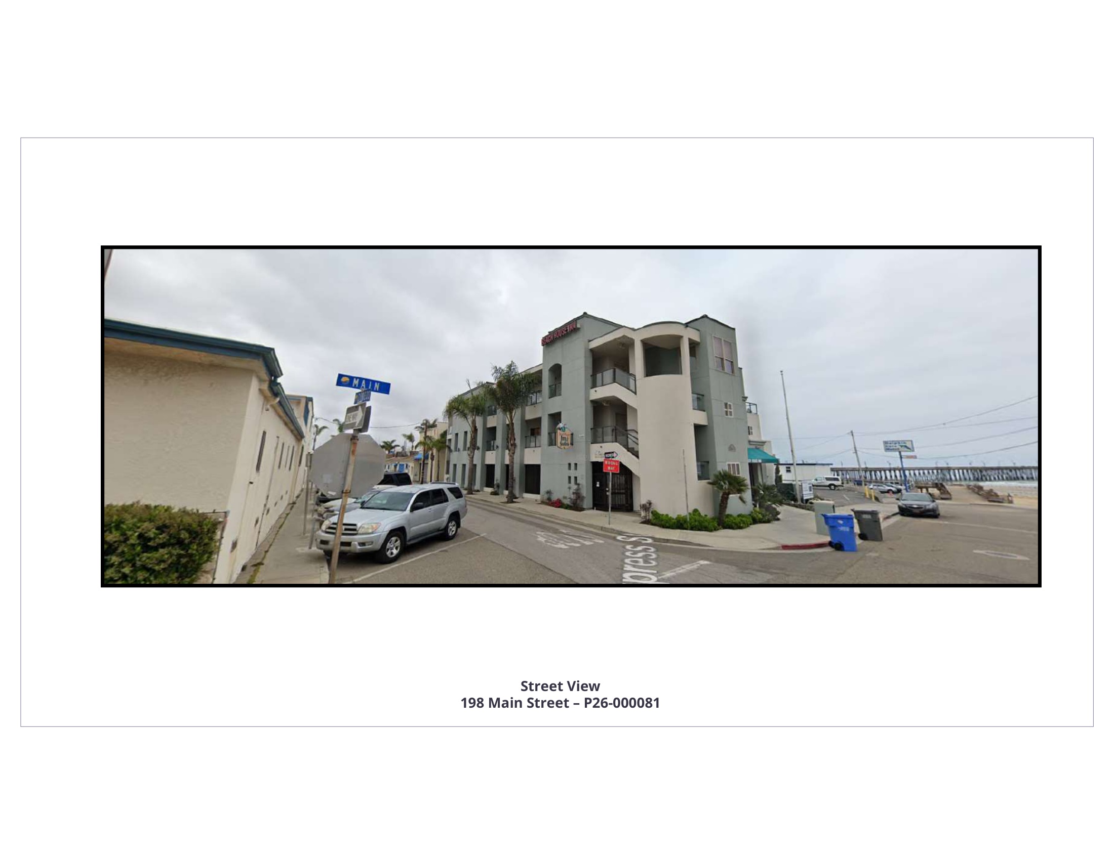
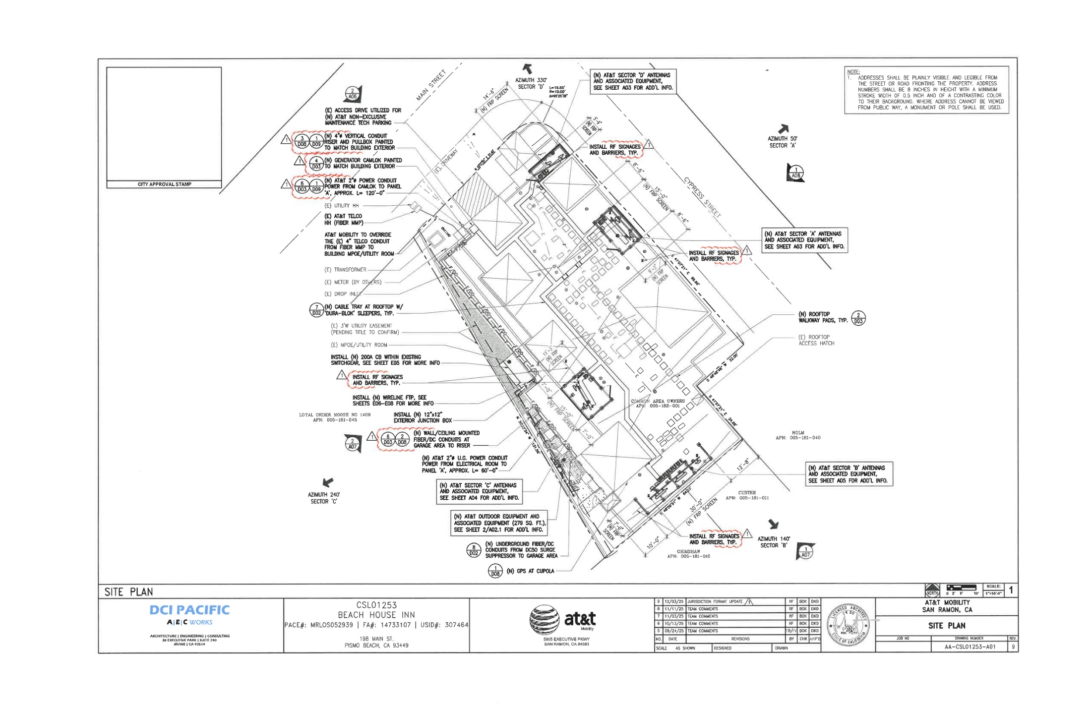
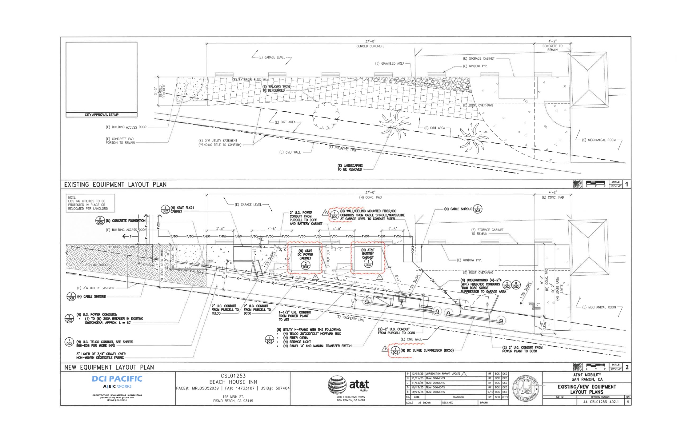
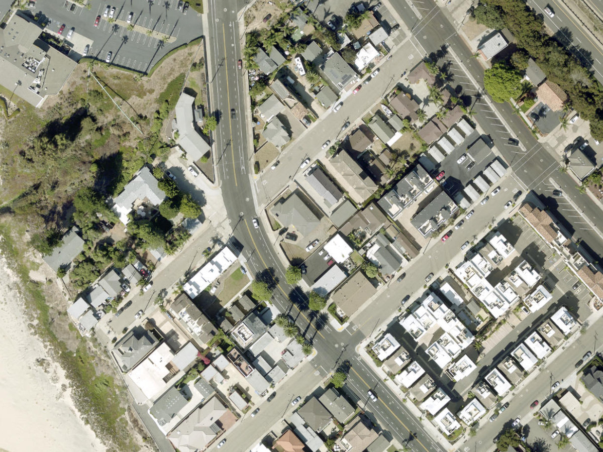
The installation is on an existing hotel roof. The visual simulation and roof plan show antenna/equipment placement; this is not a new hotel building or a new housing footprint.
Check the final screened equipment height and configuration in the issued permit. The selected illustration is from the application package.
Supporting source. Interpretation of the documented program, not a new traffic, shadow, noise, view or property-value study.
Visual simulation. Visual simulation, PDF page 15. Published application drawing or agency exhibit. Design and revision dates remain visible on the original sheet. August 25, 2026 Original source · Full sheet / image · Zoom in atlasSite / roof plan. Site / roof plan, PDF page 46. Published application drawing or agency exhibit. Design and revision dates remain visible on the original sheet. August 25, 2026 Original source · Full sheet / image · Zoom in atlasRoof equipment layout. Antenna/equipment arrangement and roof attachment details. Read with the visual simulation. August 25, 2026 Original source · Full sheet / image · Zoom in atlas
Base source date: August 25, 2026. Additional evidence dates appear under Sources. Research cutoff: November 3, 2026.
Audit note: Project facts expanded from staff report and plans.
Minutes reviewed are draft minutes reproduced in a later agenda packet. Signed final resolution, appeal outcome, permit effectiveness and current building activity were not independently confirmed.
Still to verify
Full permit and inspection history
Confirmed construction start and completion
Current total development cost and funding
RECORD 34 • Pismo Beach
330 Harloe condominiums
330 Harloe Avenue, Pismo Beach, CA
PC approval recorded / permits unverified Residential · Jurisdiction: Pismo Beach
Four residential airspace condominiums; two-year permit extension requested.
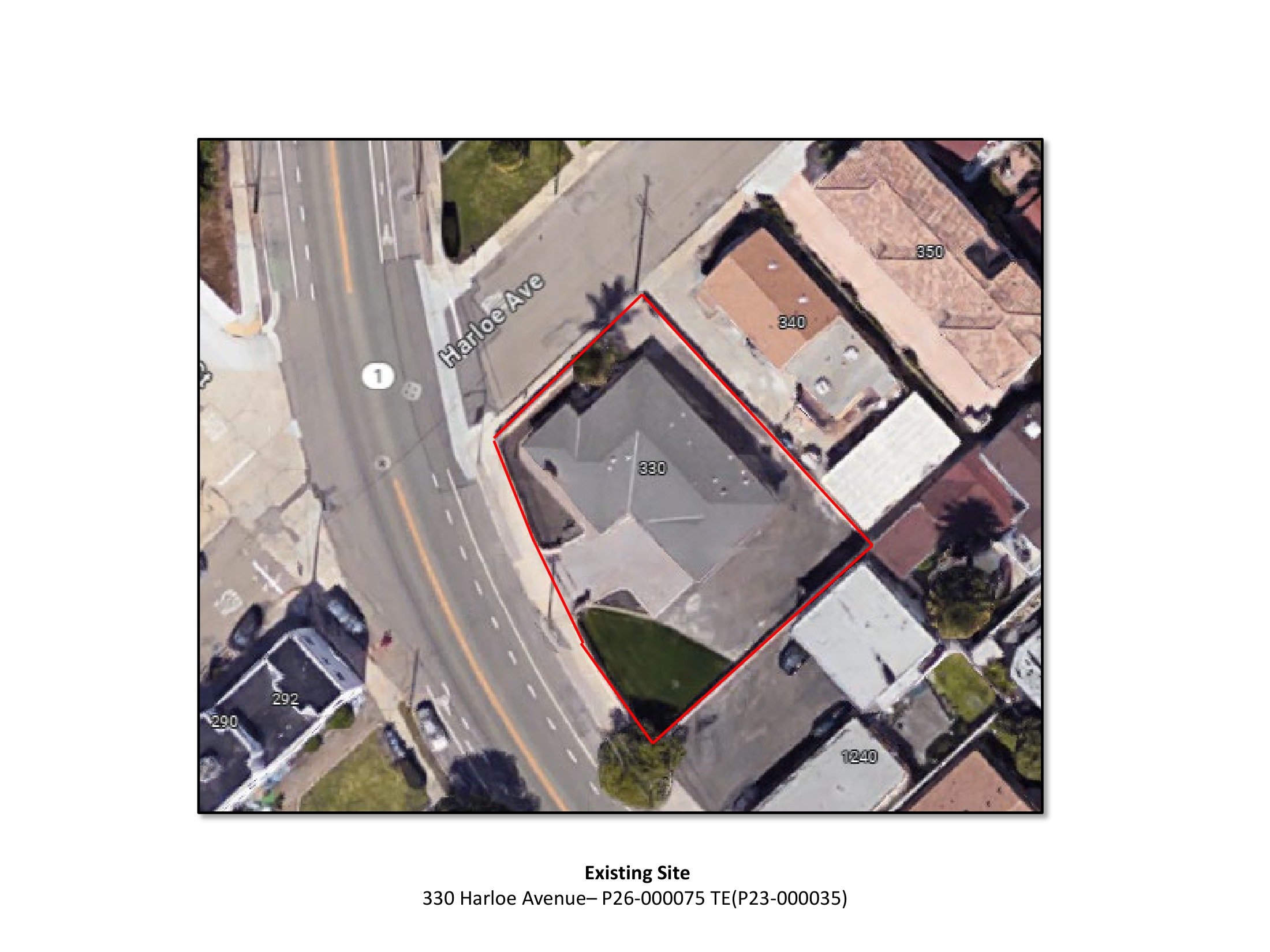
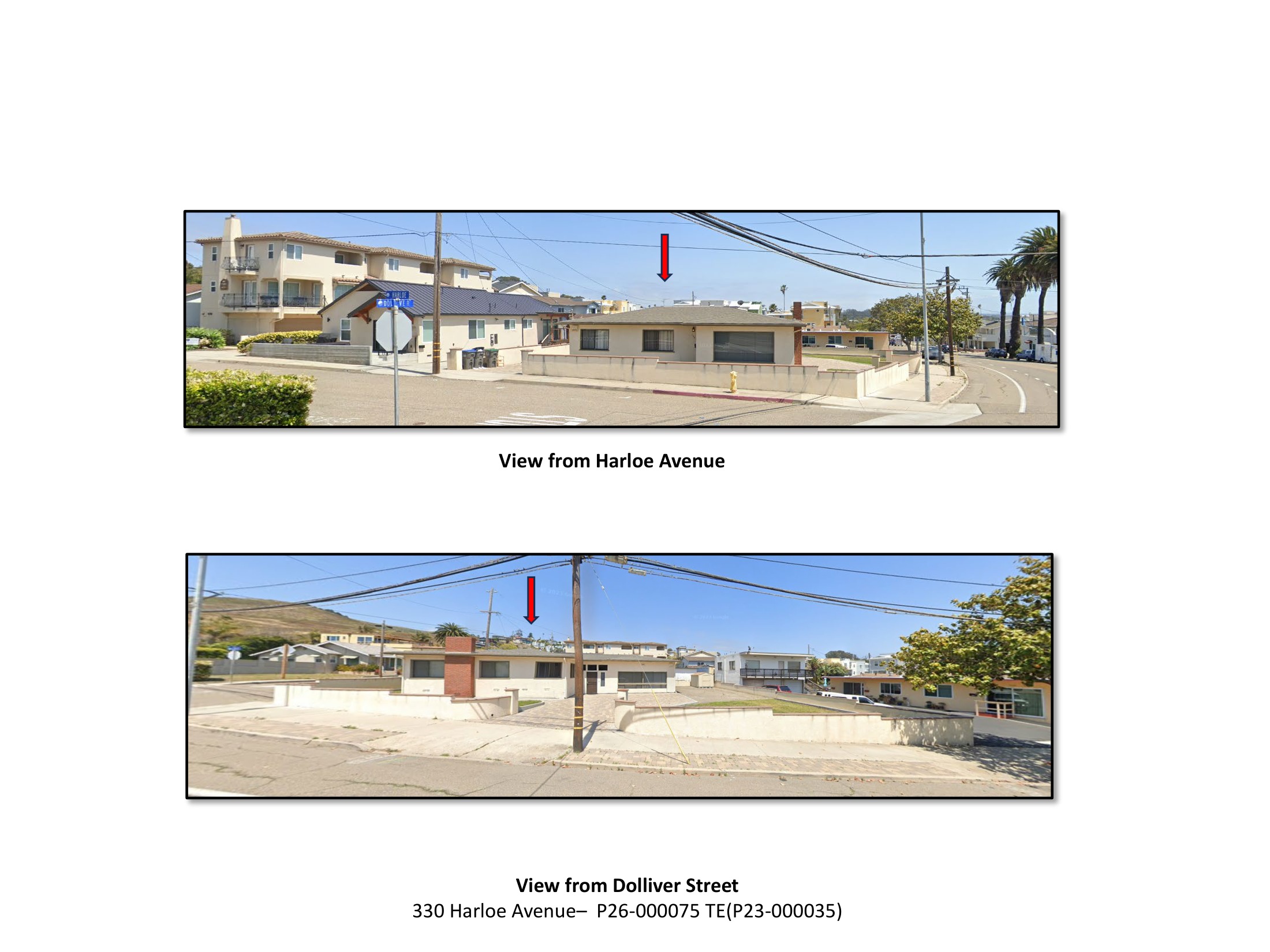
Four condos are associated with an existing urban site. The retrieved extension packet contains site and street photographs, which show context but do not establish the proposed exterior design.
A current architectural layout/rendering was not verified in this extension packet. The map should not imply that the existing photographed structure is the approved future appearance.
Supporting source. Interpretation of the documented program, not a new traffic, shadow, noise, view or property-value study.
Site photo. Site photo, PDF page 7. Published application drawing or agency exhibit. Design and revision dates remain visible on the original sheet. August 25, 2026 Original source · Full sheet / image · Zoom in atlasStreet photo. Street photo, PDF page 8. Published application drawing or agency exhibit. Design and revision dates remain visible on the original sheet. August 25, 2026 Original source · Full sheet / image · Zoom in atlas
Base source date: August 25, 2026. Additional evidence dates appear under Sources. Research cutoff: November 3, 2026.
Audit note: Project facts expanded from staff report and plans.
Not appealable according to the staff report. Any appeal filing and final permit effectiveness need separate confirmation. Source
Recorded meeting action
Approval motion recorded in meeting minutes included with a subsequent agenda packet. Source
Permit history
Original approval September 24, 2024; B25-000432 submitted November 2025; final map submitted August 14, 2026. Extension would run through September 24, 2028. Source
Map and parcel evidence
Address/intersection geocode; approximate point, not parcel or project extent. Coordinates: 35.144237, -120.644382.
APNs named in a project source: 005-066-012. Gold map shading shows those assessor parcels, which may extend beyond the work area.
Geocoder match: 330 Harloe Ave, Pismo Beach, California, 93449. An address match does not establish the extent of a development.
Published project contacts
Cindy Jacinth · Planning Manager, City of Pismo Beach · Source
Minutes reviewed are draft minutes reproduced in a later agenda packet. Signed final resolution, appeal outcome, permit effectiveness and current building activity were not independently confirmed.
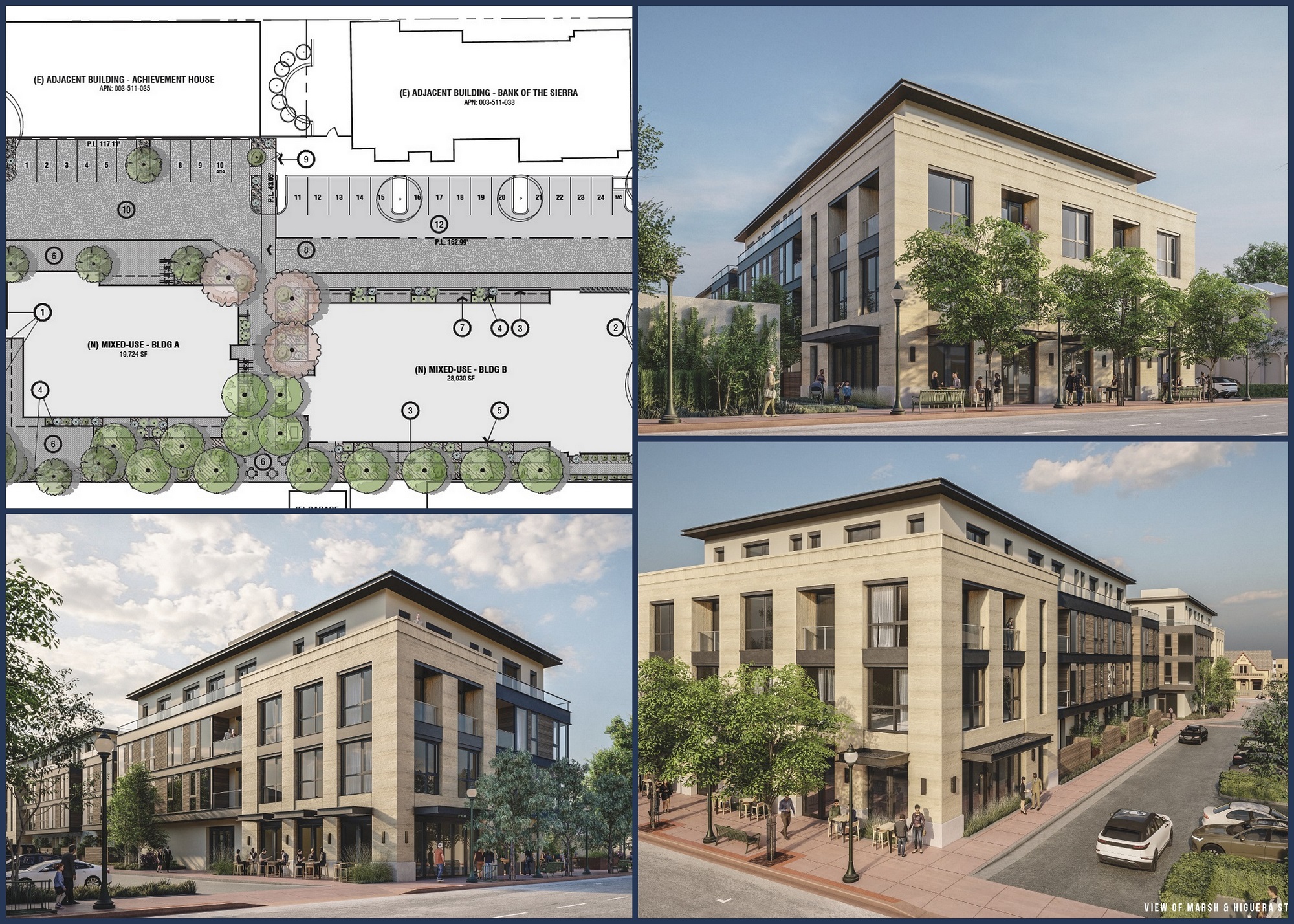
The proposed redevelopment combines homes, shops and public space at a prominent Price/Dolliver location. The public plaza would change pedestrian use as well as the building frontage.
The current developer description is 34 homes including five affordable units. A retrievable current image/layout was not verified in this visual edition.
Supporting source. Interpretation of the documented program, not a new traffic, shadow, noise, view or property-value study.
Design images not verified: No reliable proposed-design image was retrieved from the reviewed public material. The aerial and documented program provide context without inventing a future building shape.
Base source date: Developer page checked November 3, 2026. Additional evidence dates appear under Sources. Research cutoff: November 3, 2026.
Audit note: Earlier city review described 39 homes; council approved revised design in September 2025. Unit count is current developer marketing, not a permit audit. Additional source: https://www.sanluisobispo.com/news/local/article311904690.html
Map and parcel evidence
Address/intersection geocode; approximate point, not parcel or project extent. Coordinates: 35.145339, -120.644287.
No complete project parcel list was verified. Nearby parcel lines are context only.
Geocoder match: 1331 Price St, Pismo Beach, California, 93449. An address match does not establish the extent of a development.
Published project contacts
No project-specific contact was verified in the reviewed material. Use the responsible agency and application reference where available.
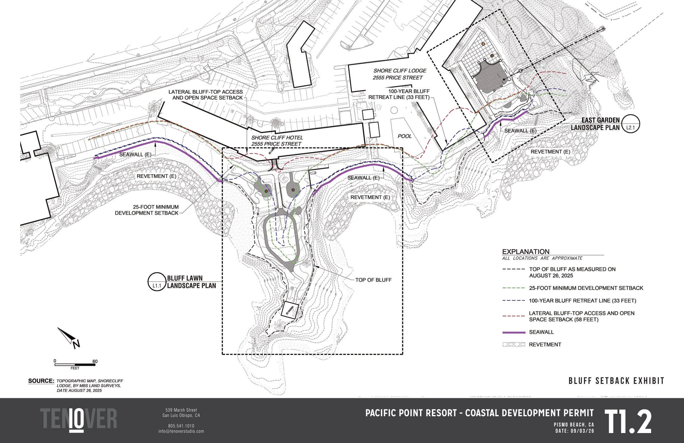
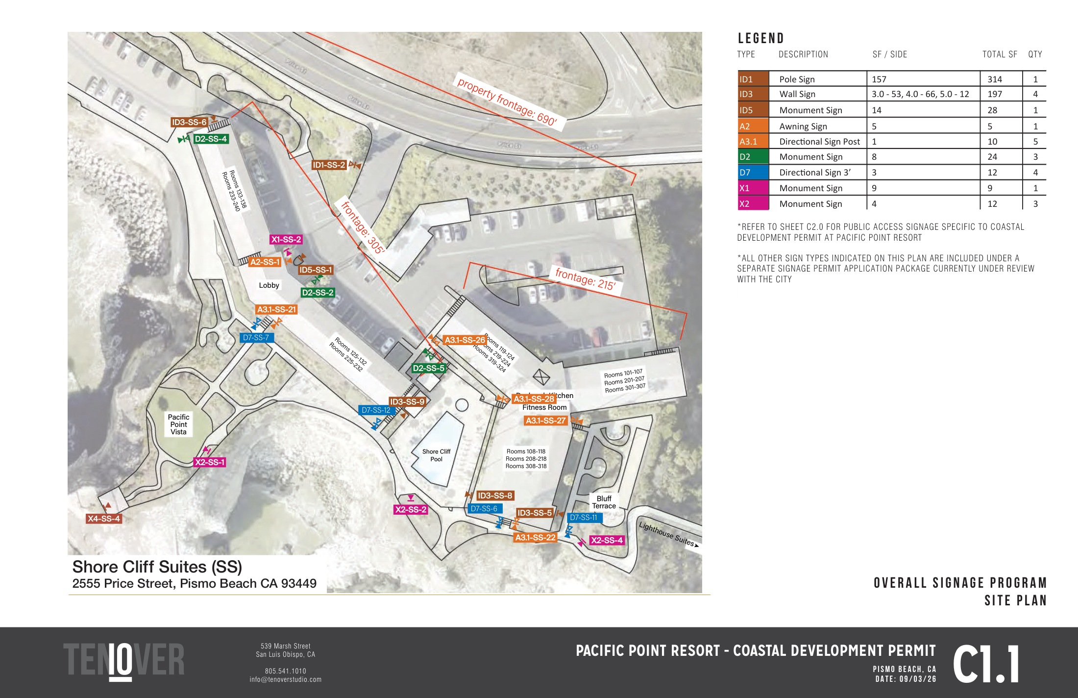
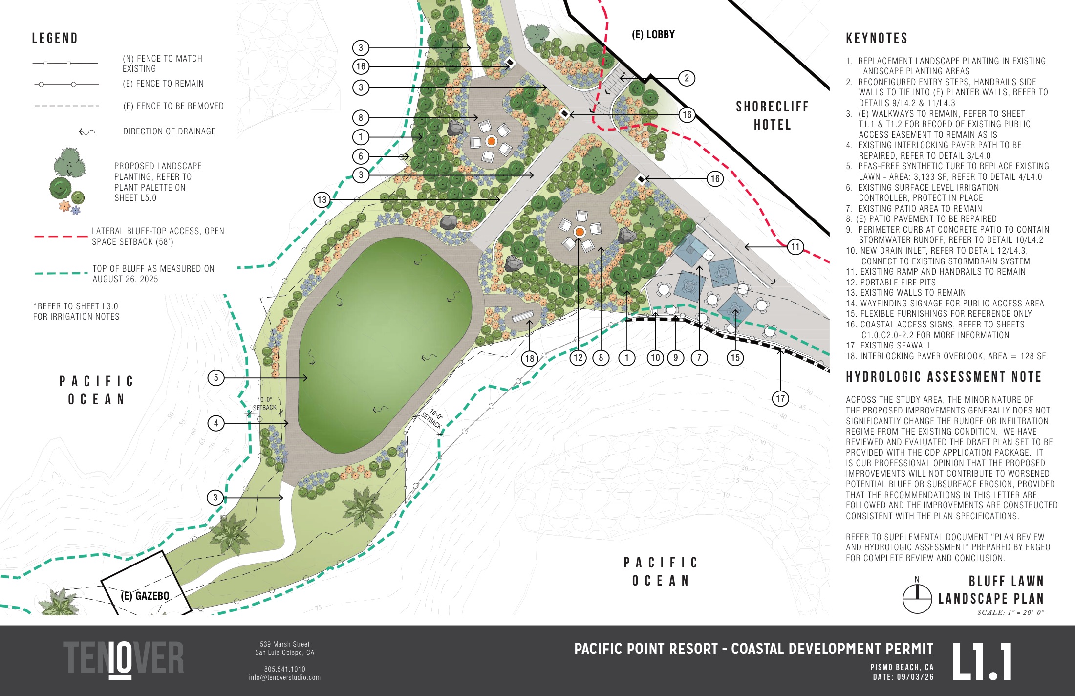
This record concerns blufftop grounds at an already-open hotel. The landscape plan shows paths, planted areas, turf, seating and patios along the coast.
The report identifies 4,300 square feet of synthetic turf, 7,049 of native planting, 3,725 of pervious paths/patio and 1,900 of concrete patio. It also identifies a 58-foot lateral access/open-space easement and six-foot coastal trail.
Supporting source. Interpretation of the documented program, not a new traffic, shadow, noise, view or property-value study.
Site plan. Site plan, PDF page 41. Published application drawing or agency exhibit. Design and revision dates remain visible on the original sheet. October 27, 2026 Original source · Full sheet / image · Zoom in atlasImprovement plan. Improvement plan, PDF page 43. Published application drawing or agency exhibit. Design and revision dates remain visible on the original sheet. October 27, 2026 Original source · Full sheet / image · Zoom in atlasLandscape plan. Landscape plan, PDF page 48. Published application drawing or agency exhibit. Design and revision dates remain visible on the original sheet. October 27, 2026 Original source · Full sheet / image · Zoom in atlas
Base source date: October 27, 2026. Additional evidence dates appear under Sources. Research cutoff: November 3, 2026.
Audit note: Project facts expanded from staff report and plans.
Appealable according to the staff report. Any appeal filing and final permit effectiveness need separate confirmation. Source
Proposed site work
4,300 square feet of synthetic turf, 7,049 square feet of native plantings, 3,725 square feet of pervious paths/patio, 1,900 square feet of concrete patio, fencing, portable seating and firepits. Source
Public-access constraint
Report identifies a 58-foot lateral blufftop open-space/access easement based on erosion setback plus 25 feet, along with a six-foot coastal trail. Source
Map and parcel evidence
Address/intersection geocode; approximate point, not parcel or project extent. Coordinates: 35.148782, -120.652537.
APNs named in a project source: 005-261-001. Gold map shading shows those assessor parcels, which may extend beyond the work area.
Geocoder match: 2555 Price St, Pismo Beach, California, 93449. An address match does not establish the extent of a development.
Published project contacts
Cindy Jacinth · Planning Manager, City of Pismo Beach · Source
Staff report and recommendation reviewed. A matching final action, appeal outcome, building permit and current construction activity were not verified.
PC approval recorded / permits unverified Residential · Jurisdiction: Pismo Beach
Modification to a home already under construction, requesting a 35-foot midpoint height allowance and 122 square feet of deck area. Hearing continued because of plan inconsistencies.
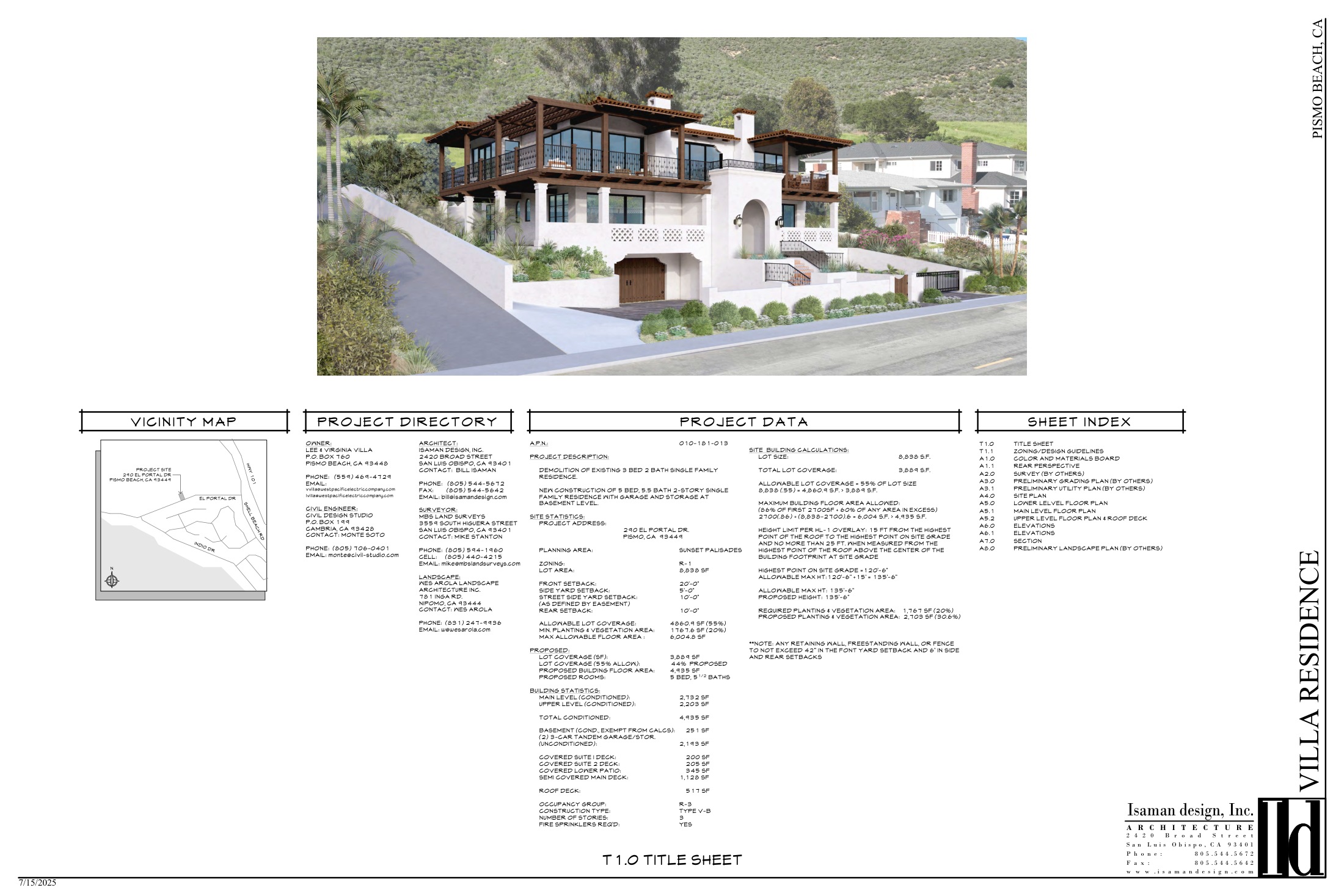
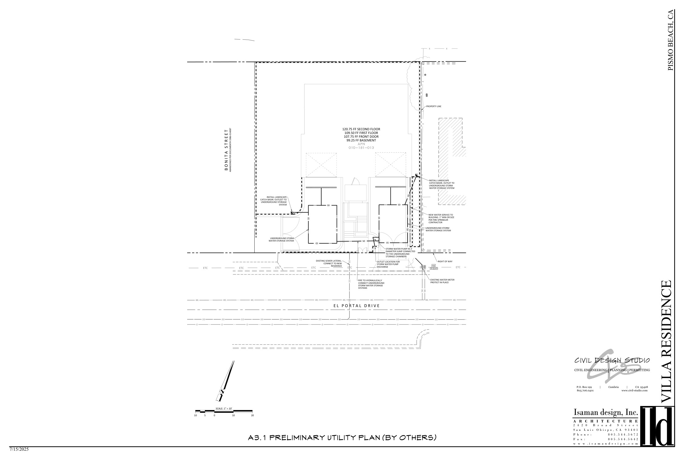
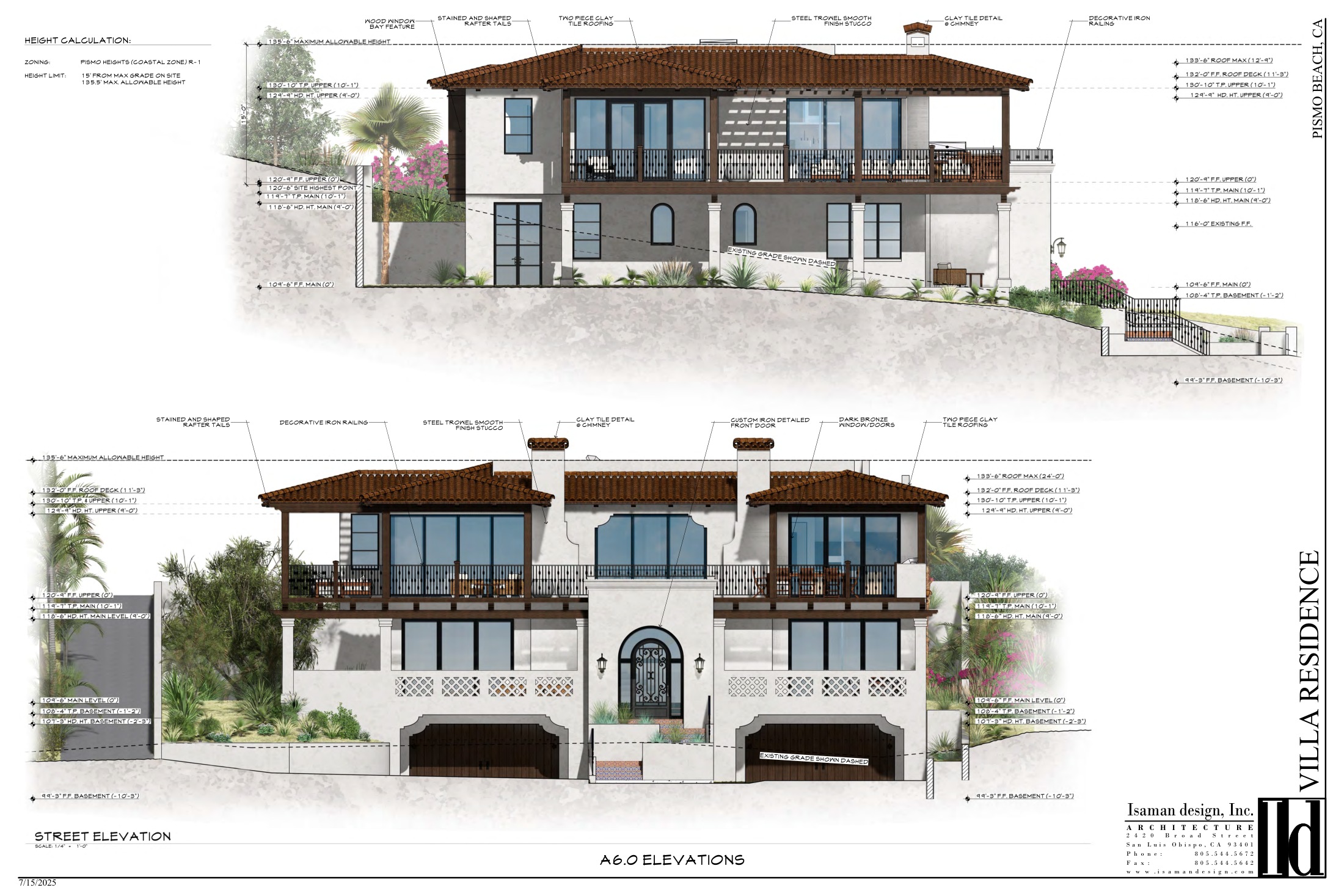
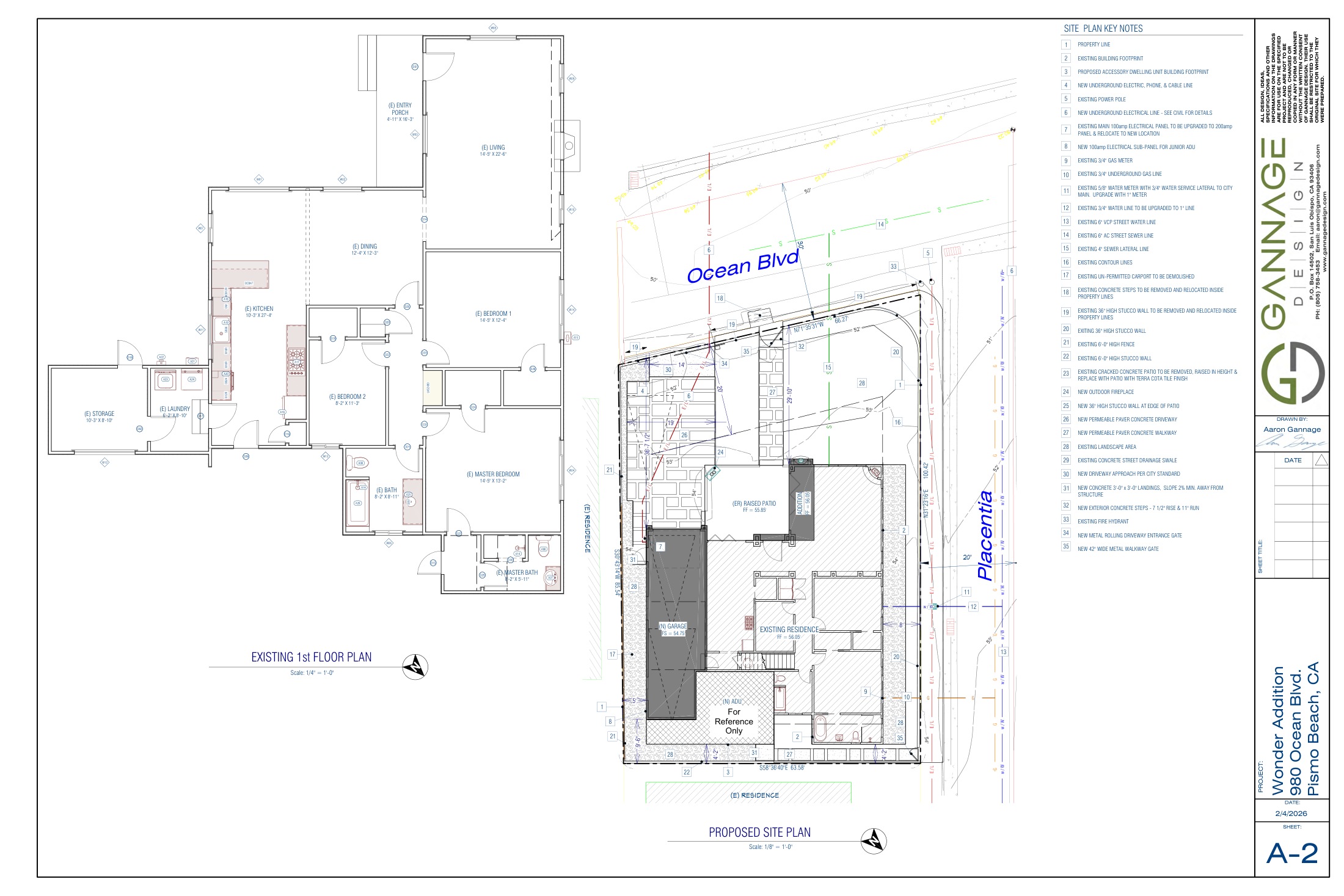
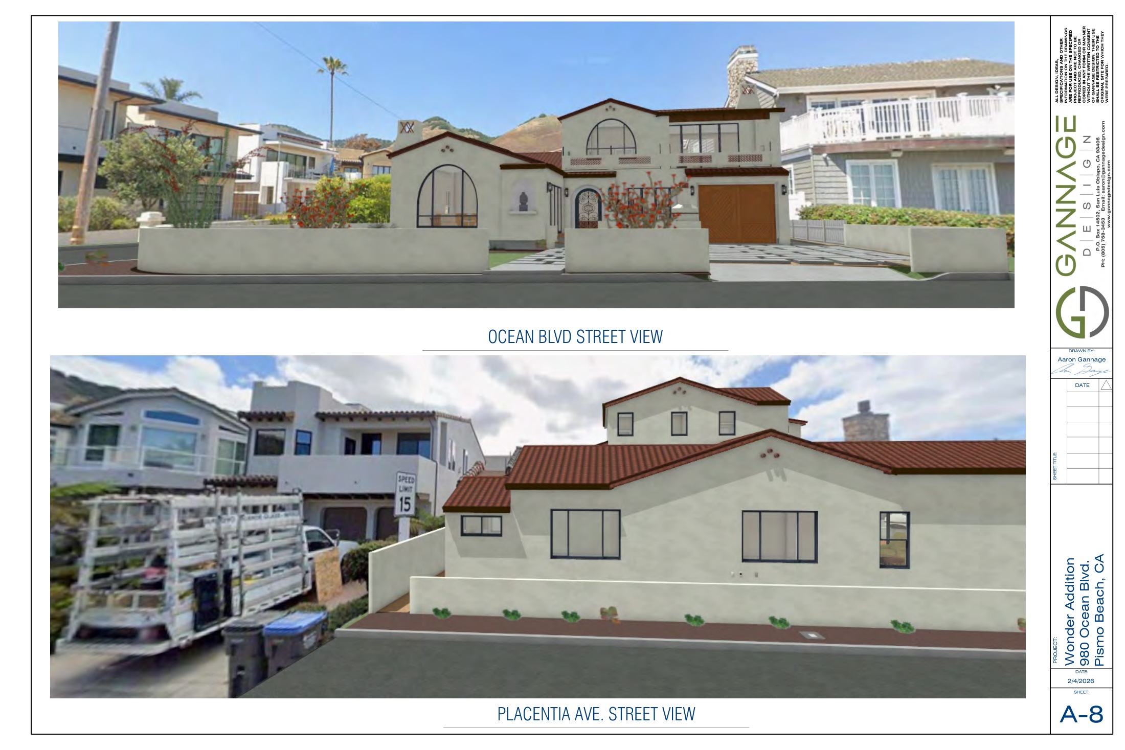
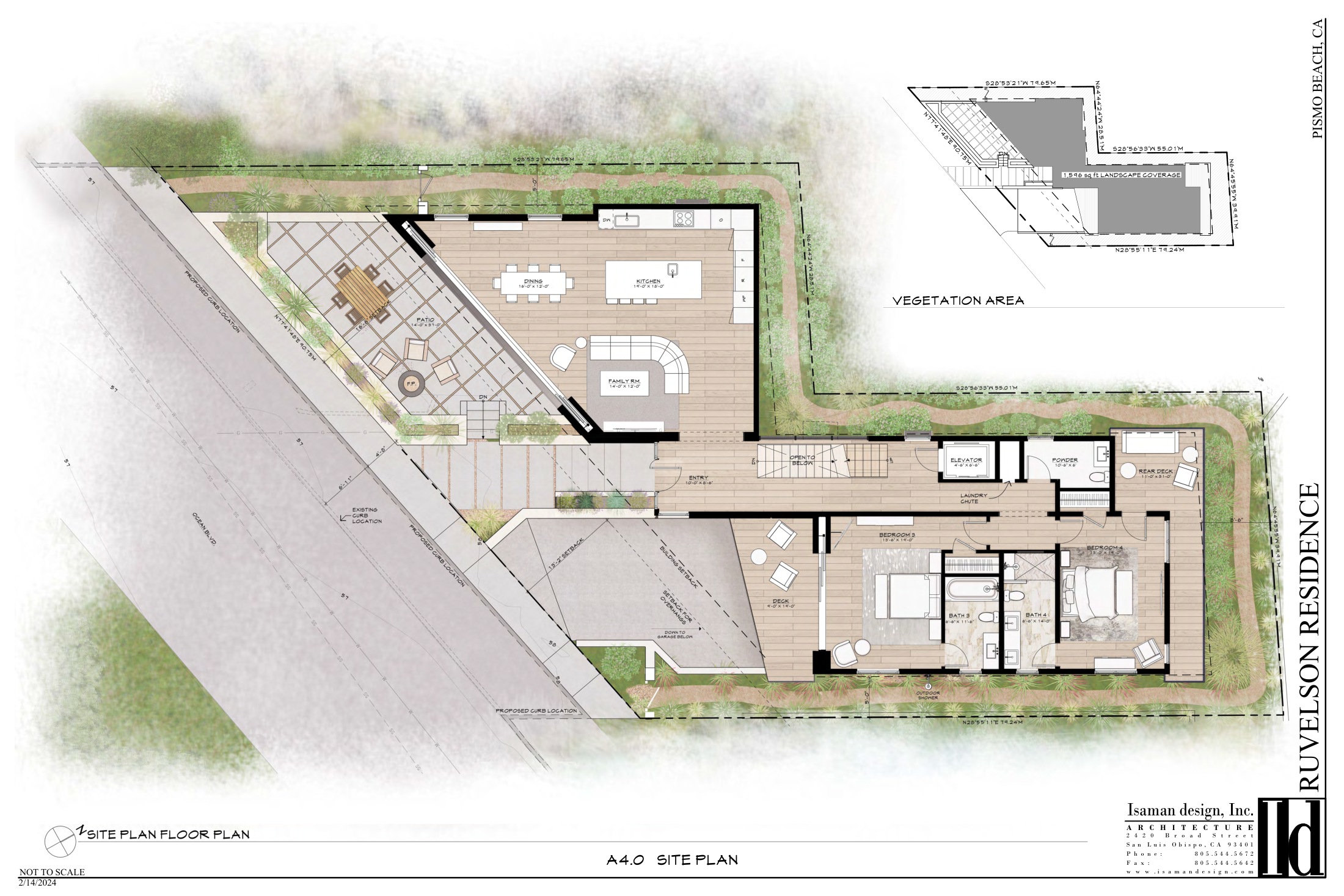
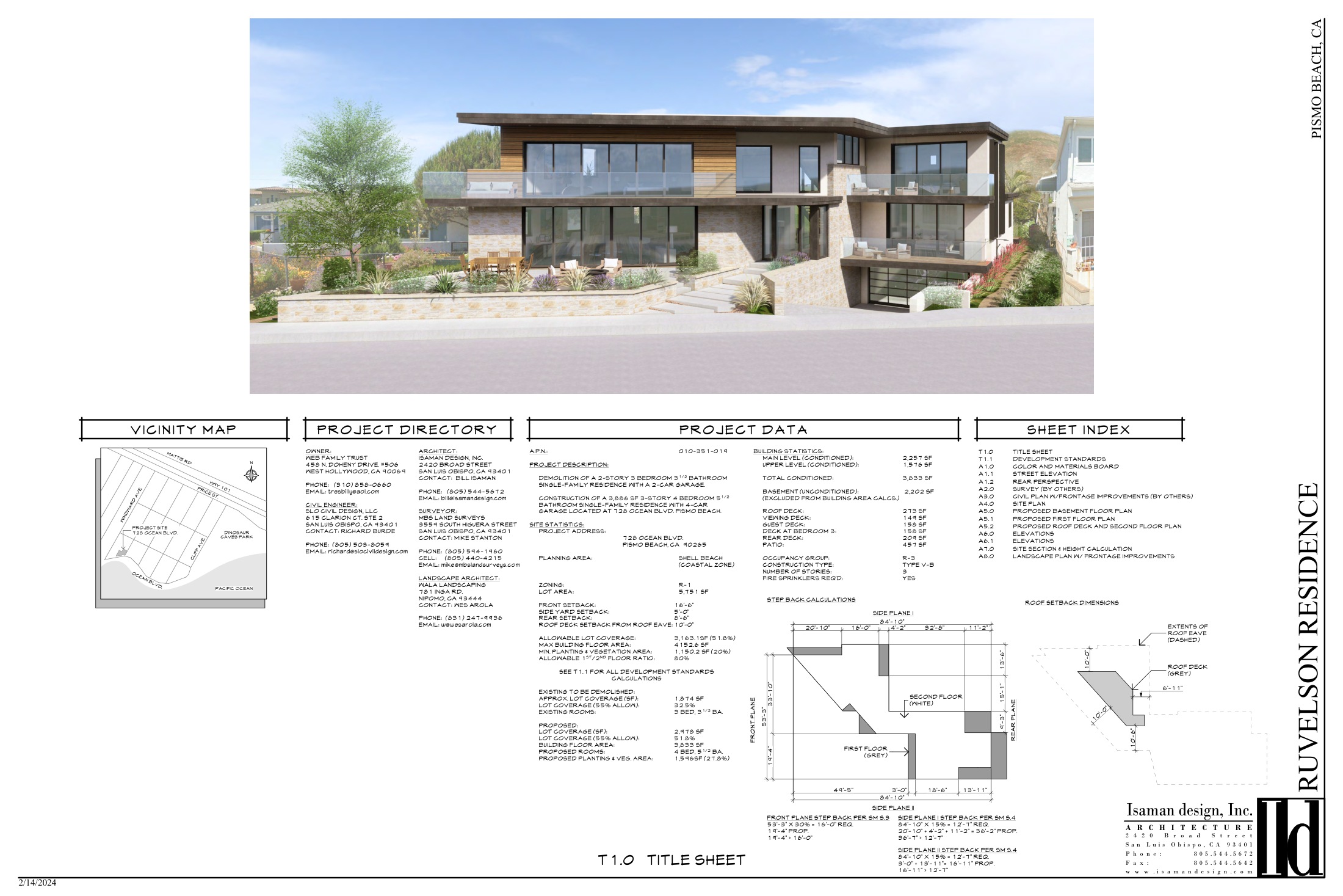
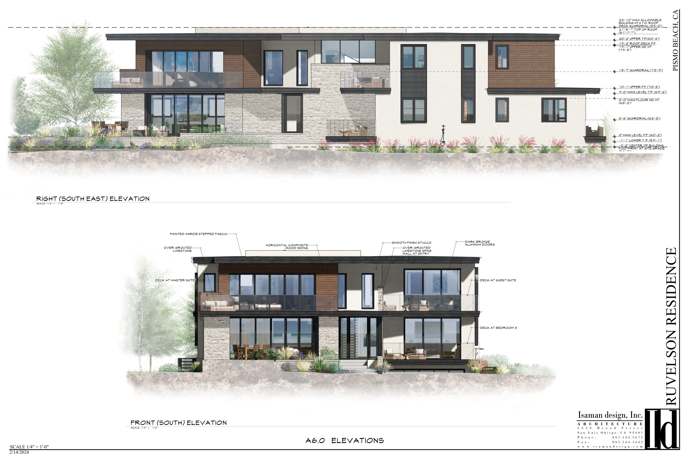
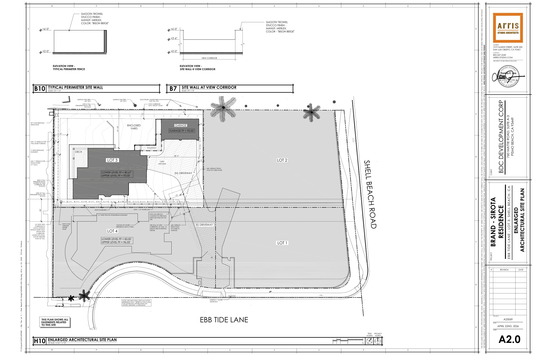
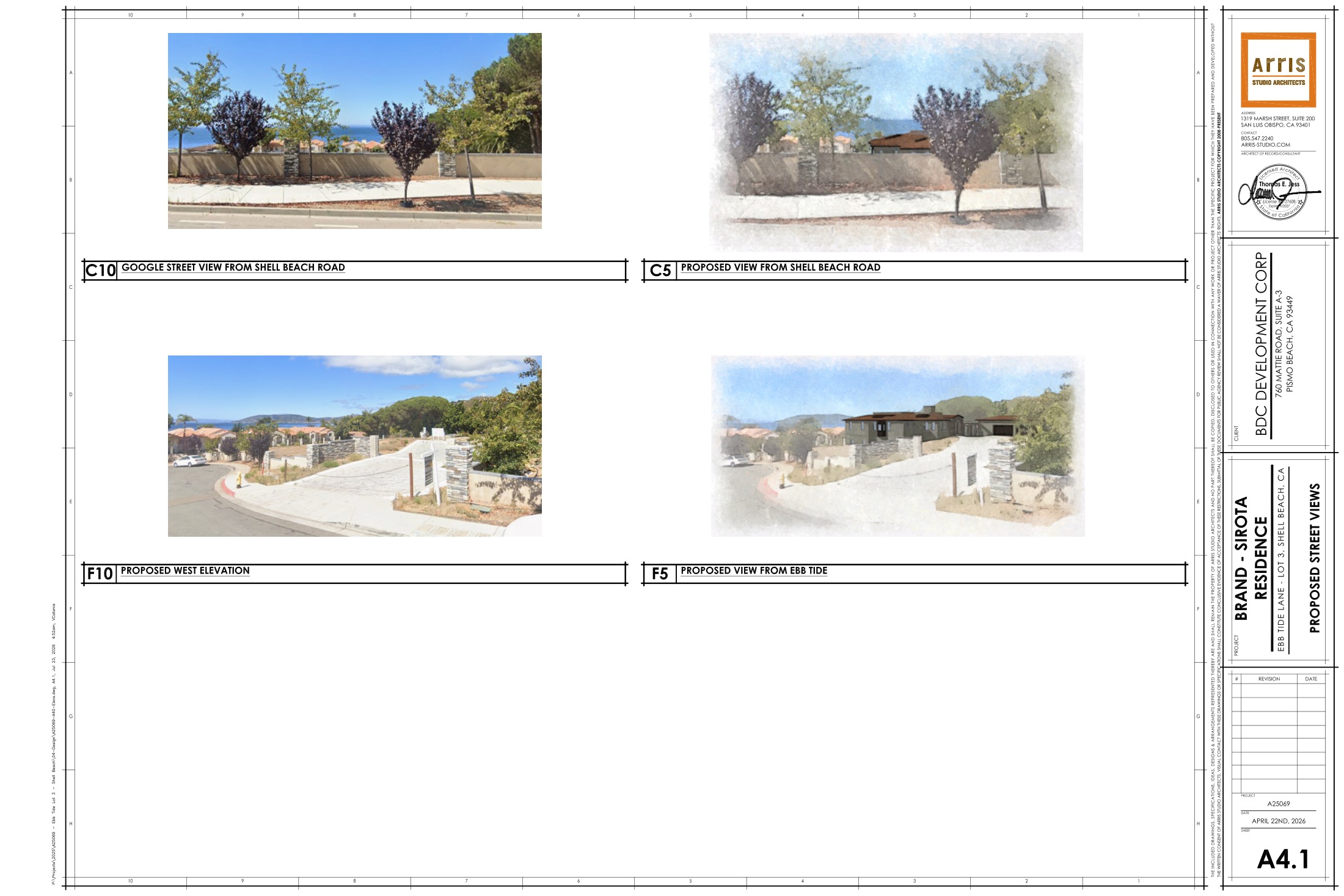
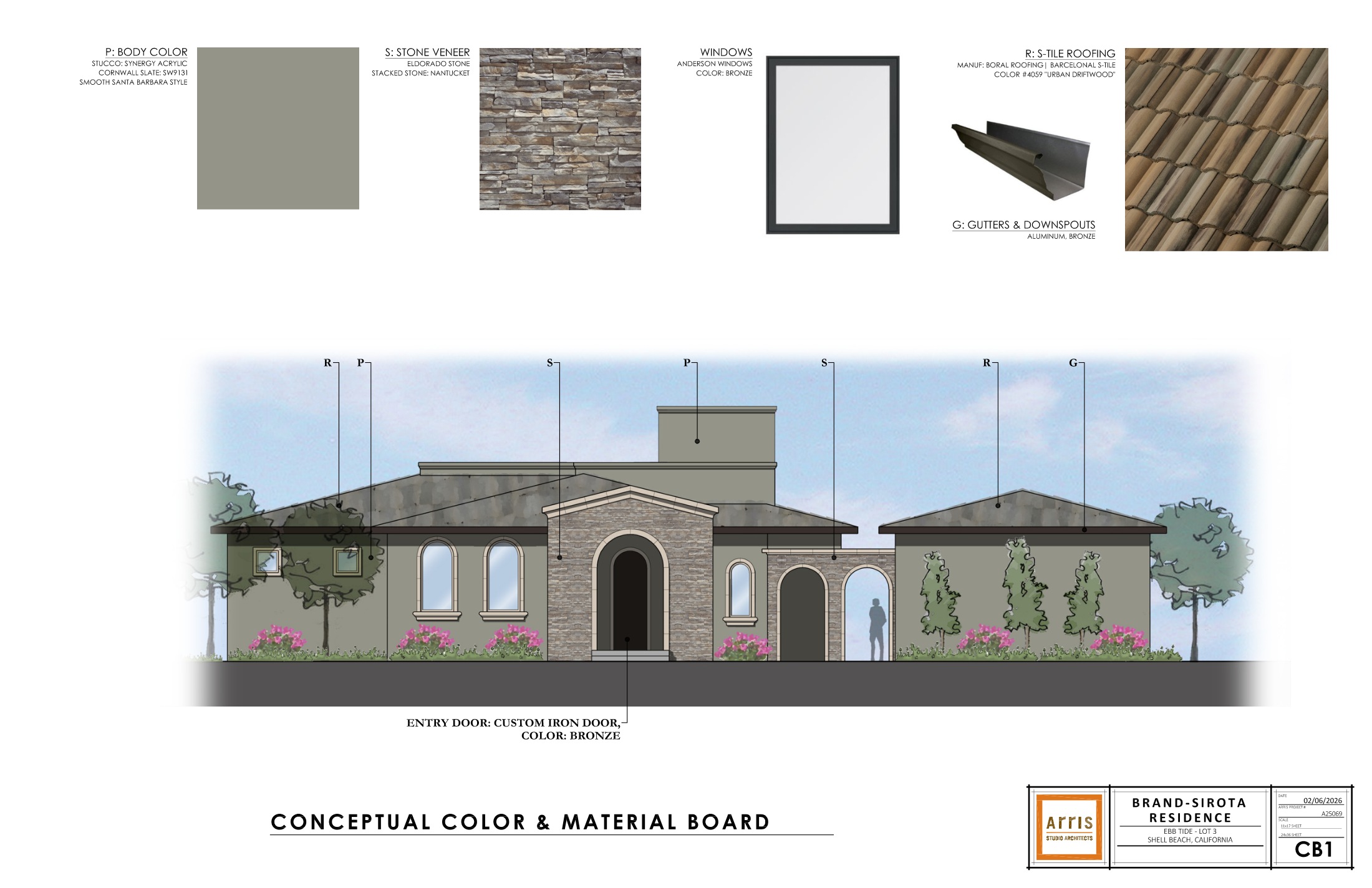
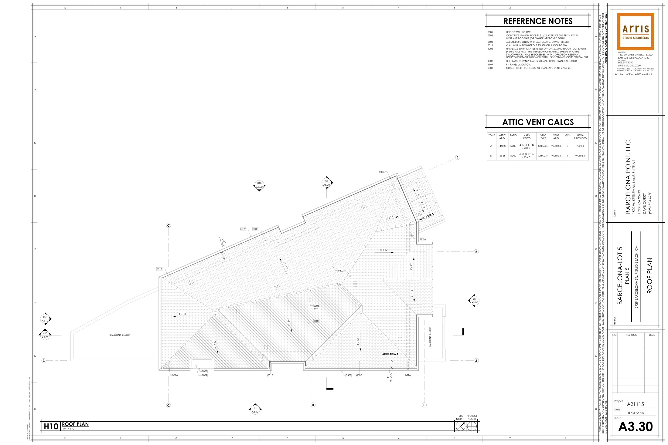
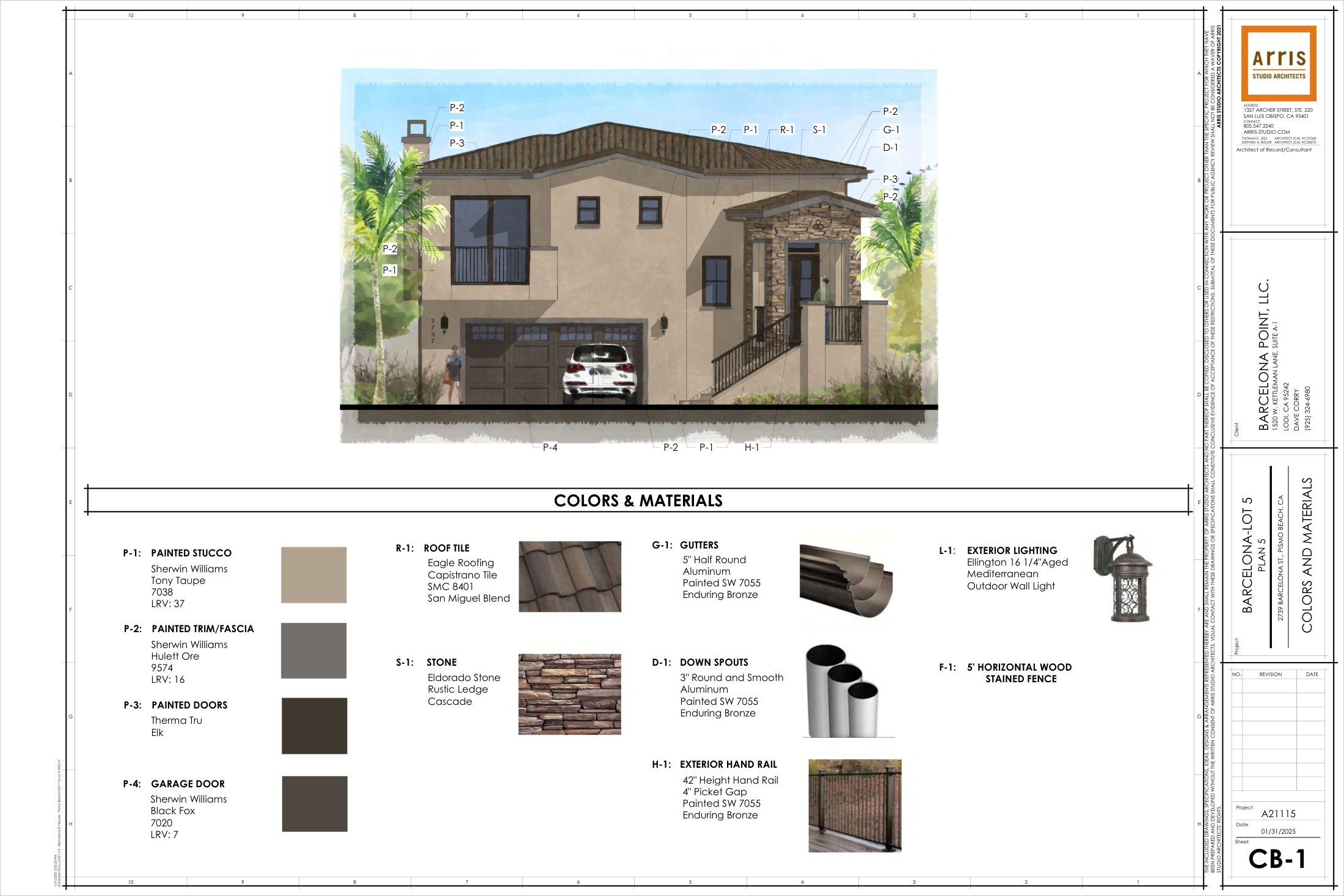
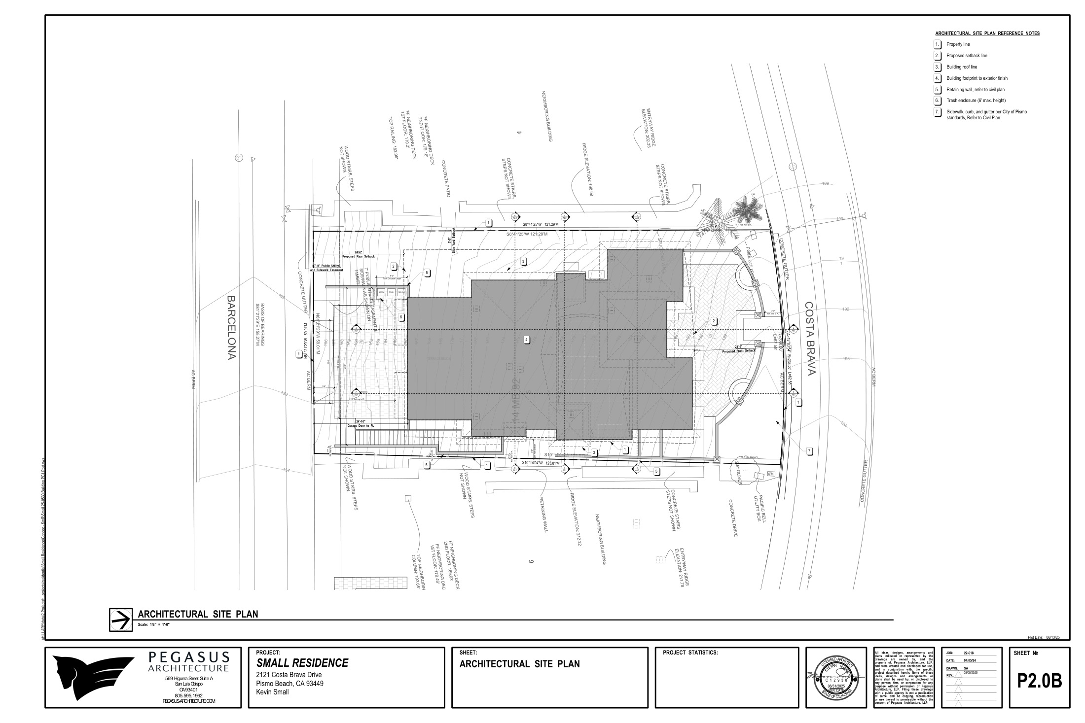
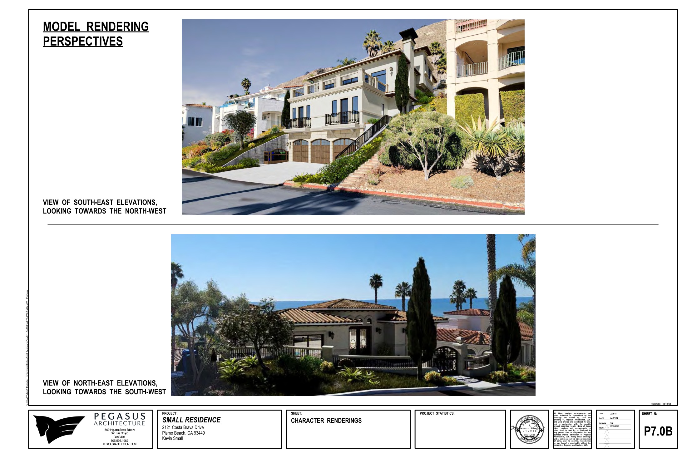
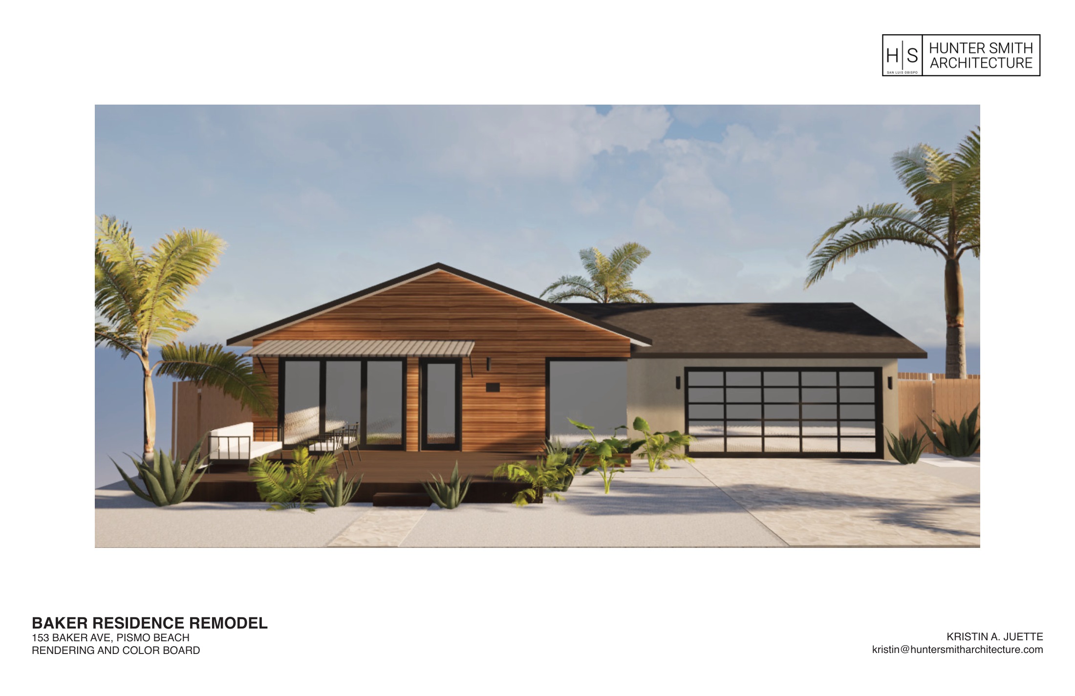
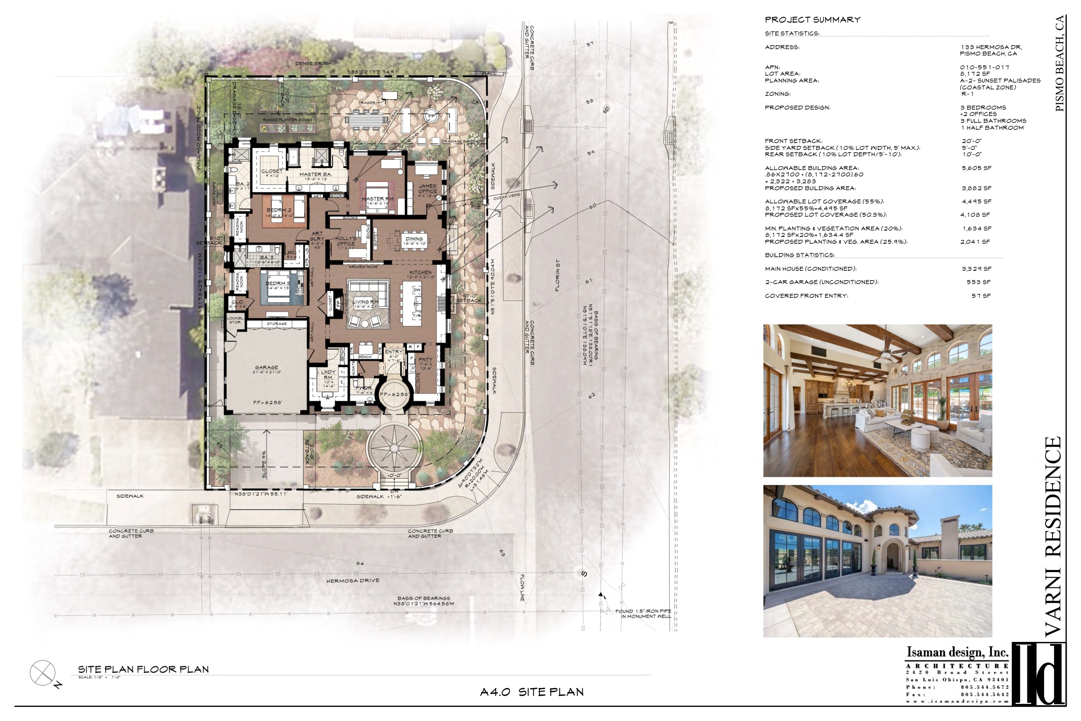
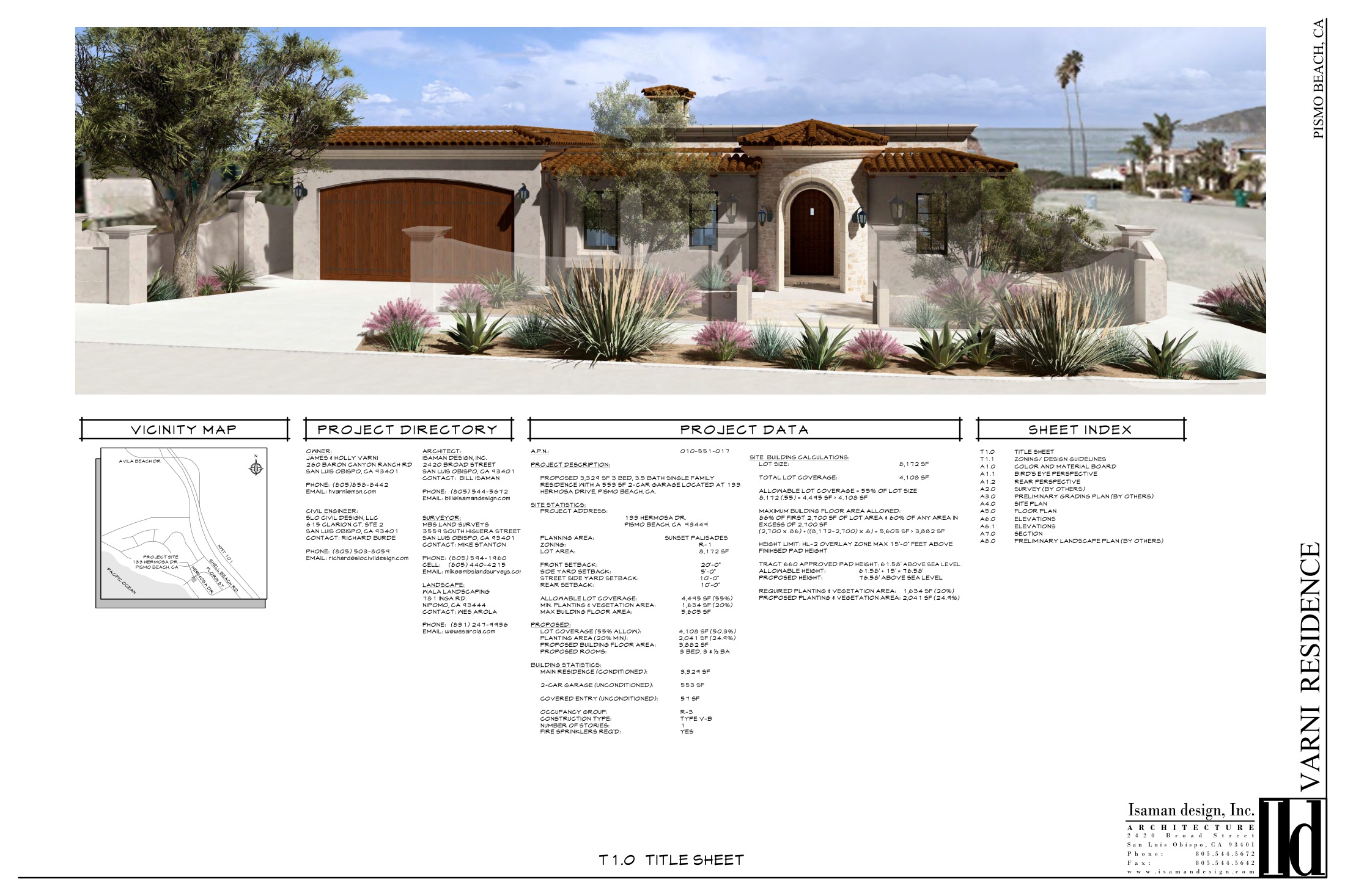
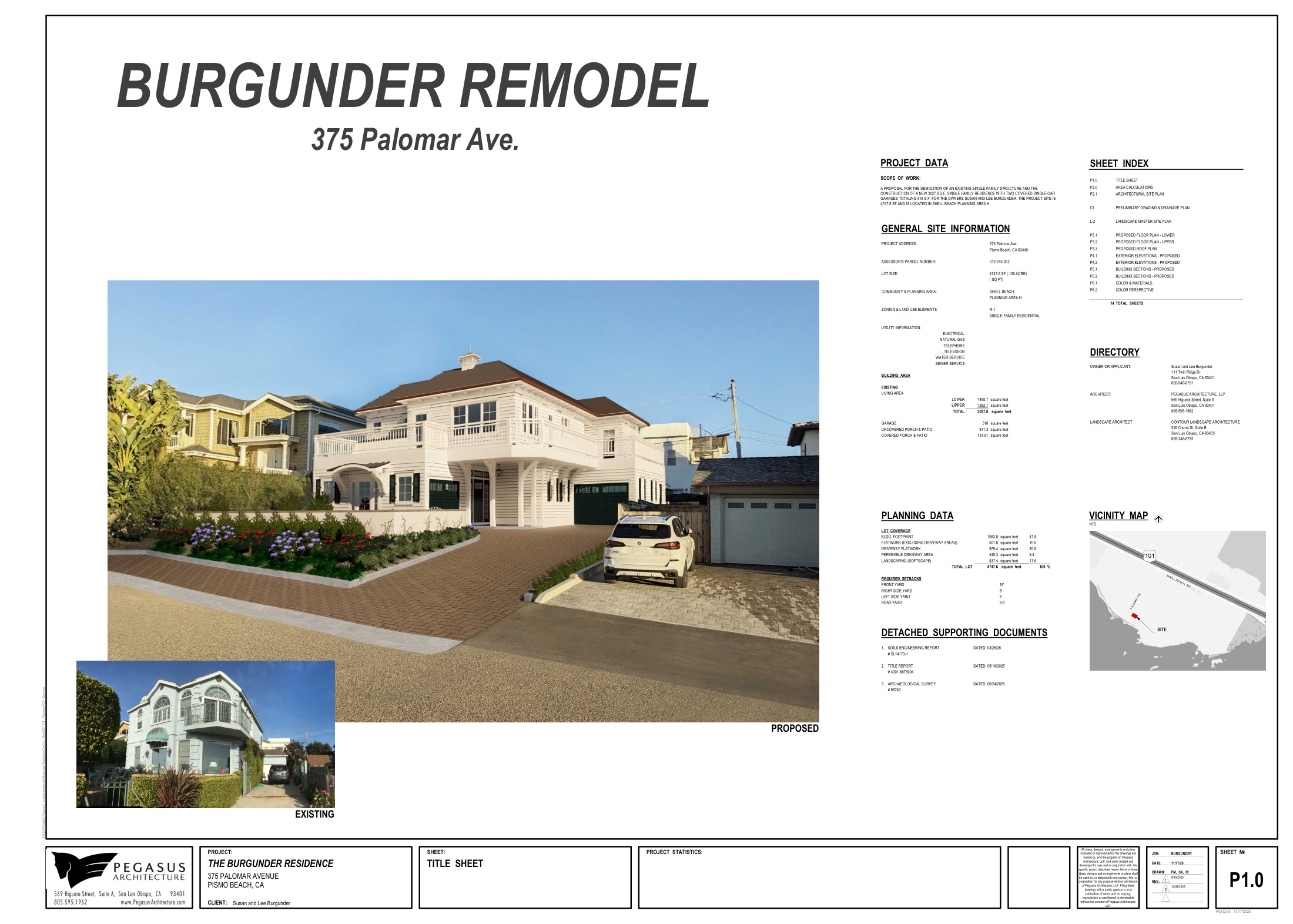
The application introduces or replaces a home on an individual lot. The site plan shows placement, while elevations and renderings explain height, roof form and street appearance.
The published program is summarized above. A basement or second floor adds floor area without the same increase in ground coverage. The images do not quantify lost private views, shadow duration, construction noise or changes in property values.
Supporting source. Interpretation of the documented program, not a new traffic, shadow, noise, view or property-value study.
Design images not verified: No reliable proposed-design image was retrieved from the reviewed public material. The aerial and documented program provide context without inventing a future building shape.
Base source date: August 11, 2026. Additional evidence dates appear under Sources. Research cutoff: November 3, 2026.
Audit note: Project facts expanded from staff report and plans.
Minutes reviewed are draft minutes reproduced in a later agenda packet. Signed final resolution, appeal outcome, permit effectiveness and current building activity were not independently confirmed.
Planning decision / activity unverified Residential · Jurisdiction: Pismo Beach
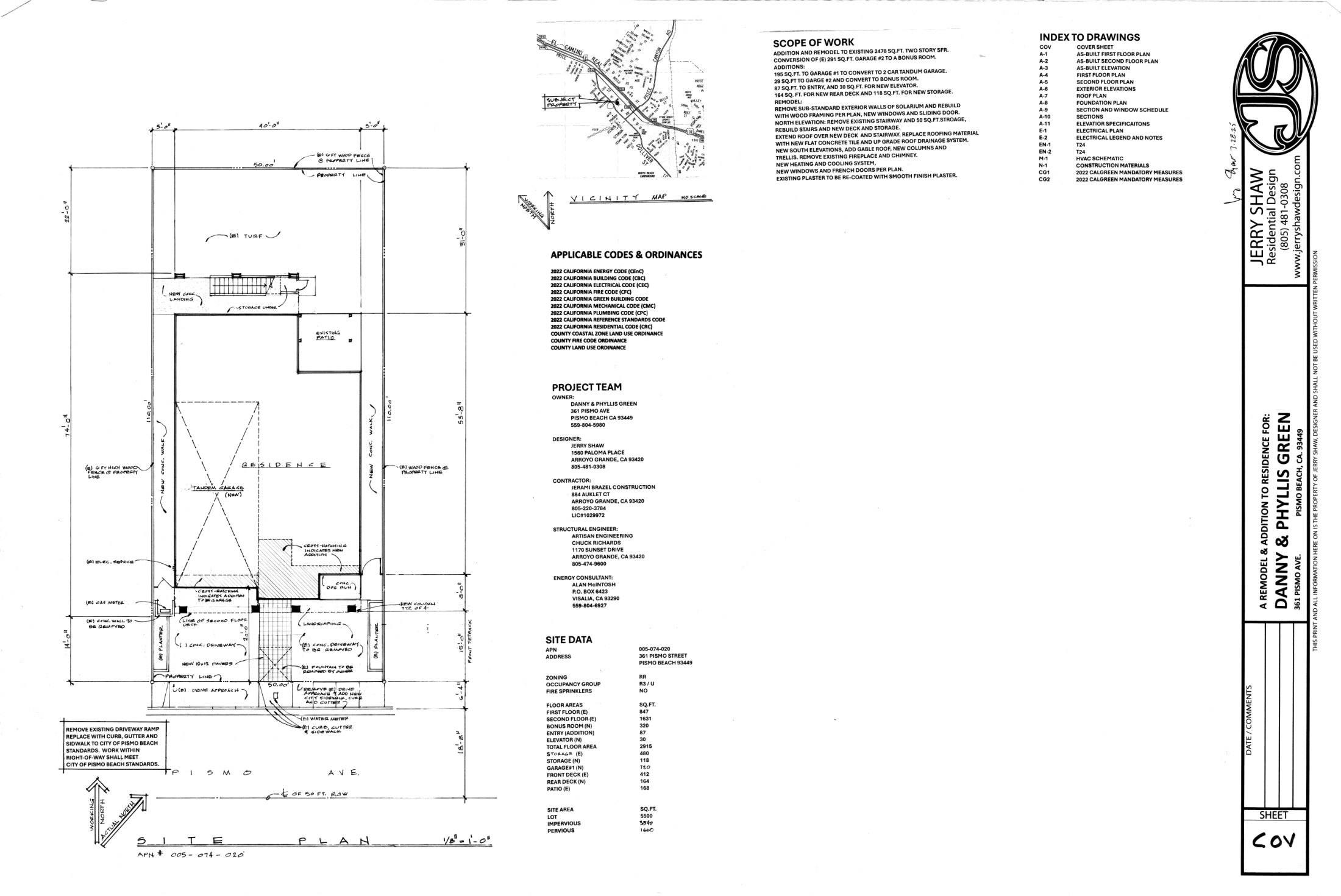
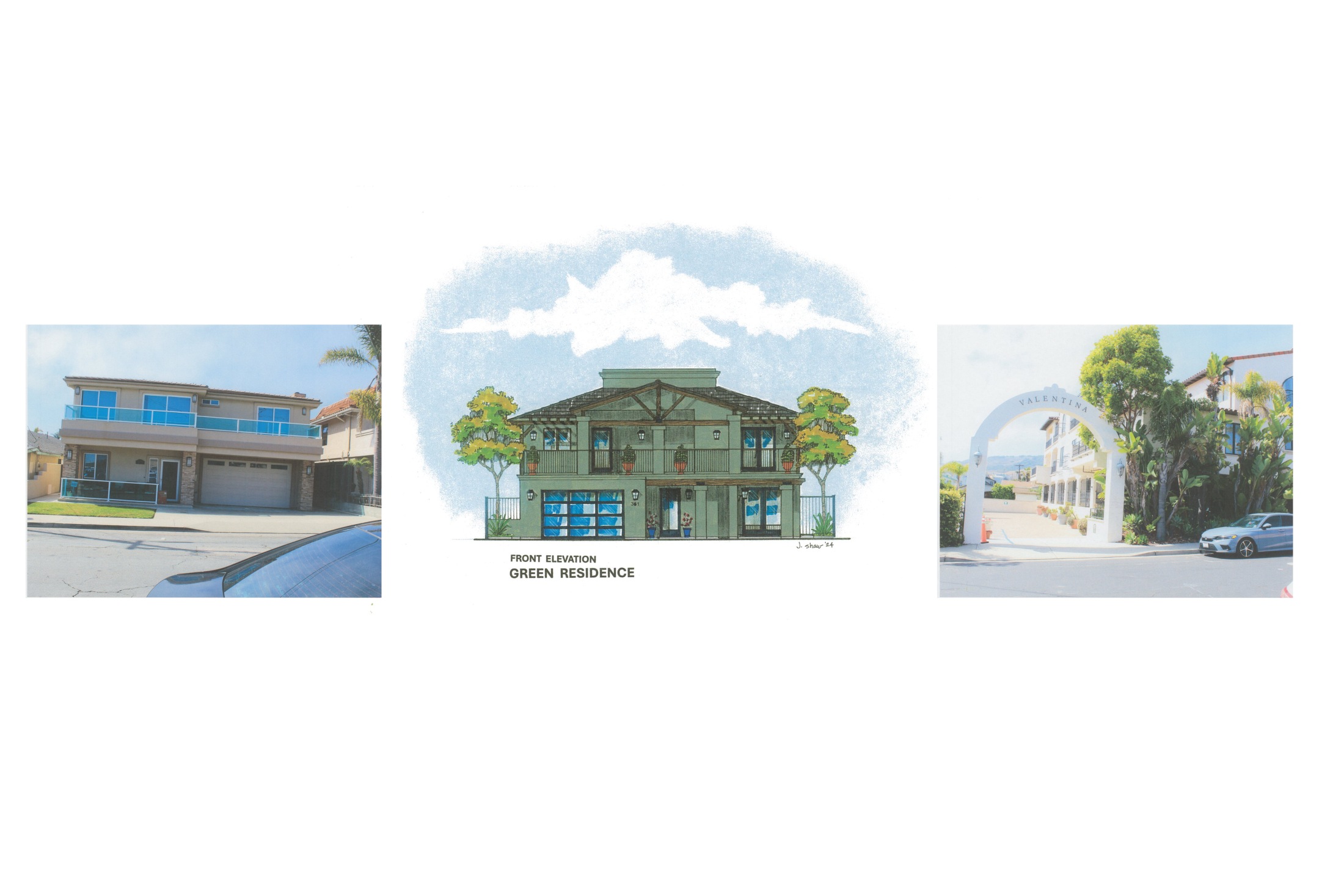
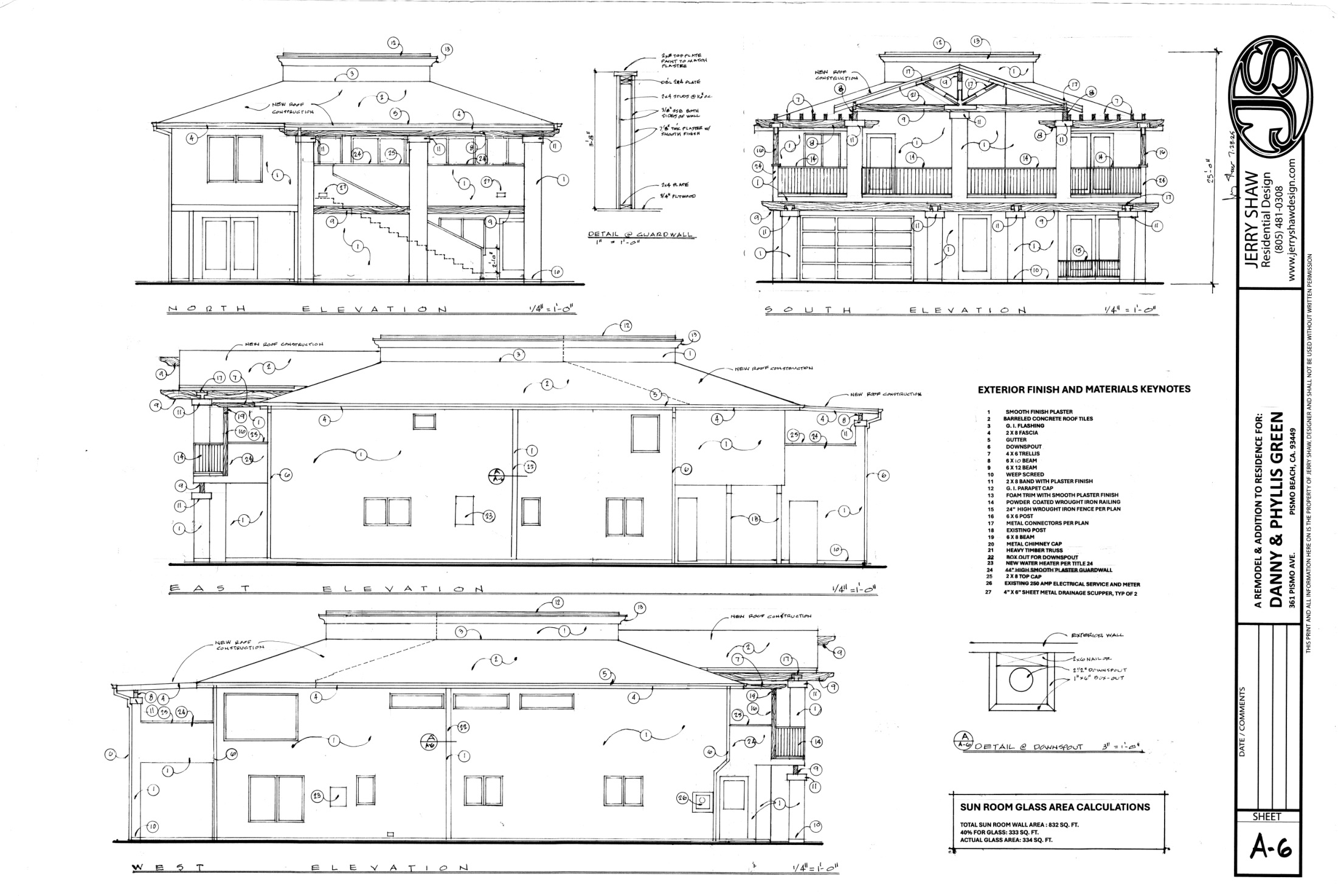
Home remodel with 176 square feet of new living area, 291 square feet converted to living area, 202 square feet of garage/storage additions and 164 square feet of rear deck.
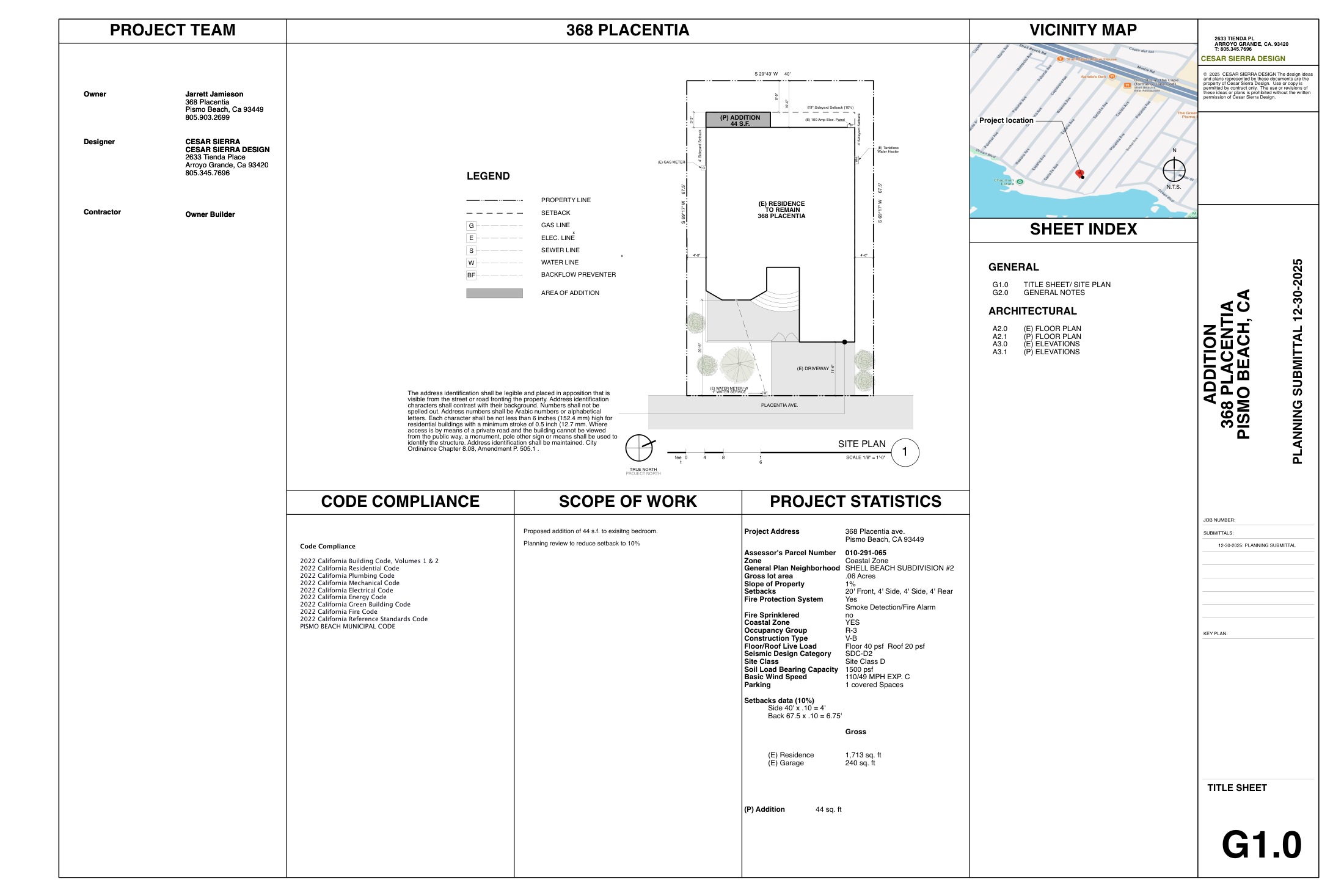
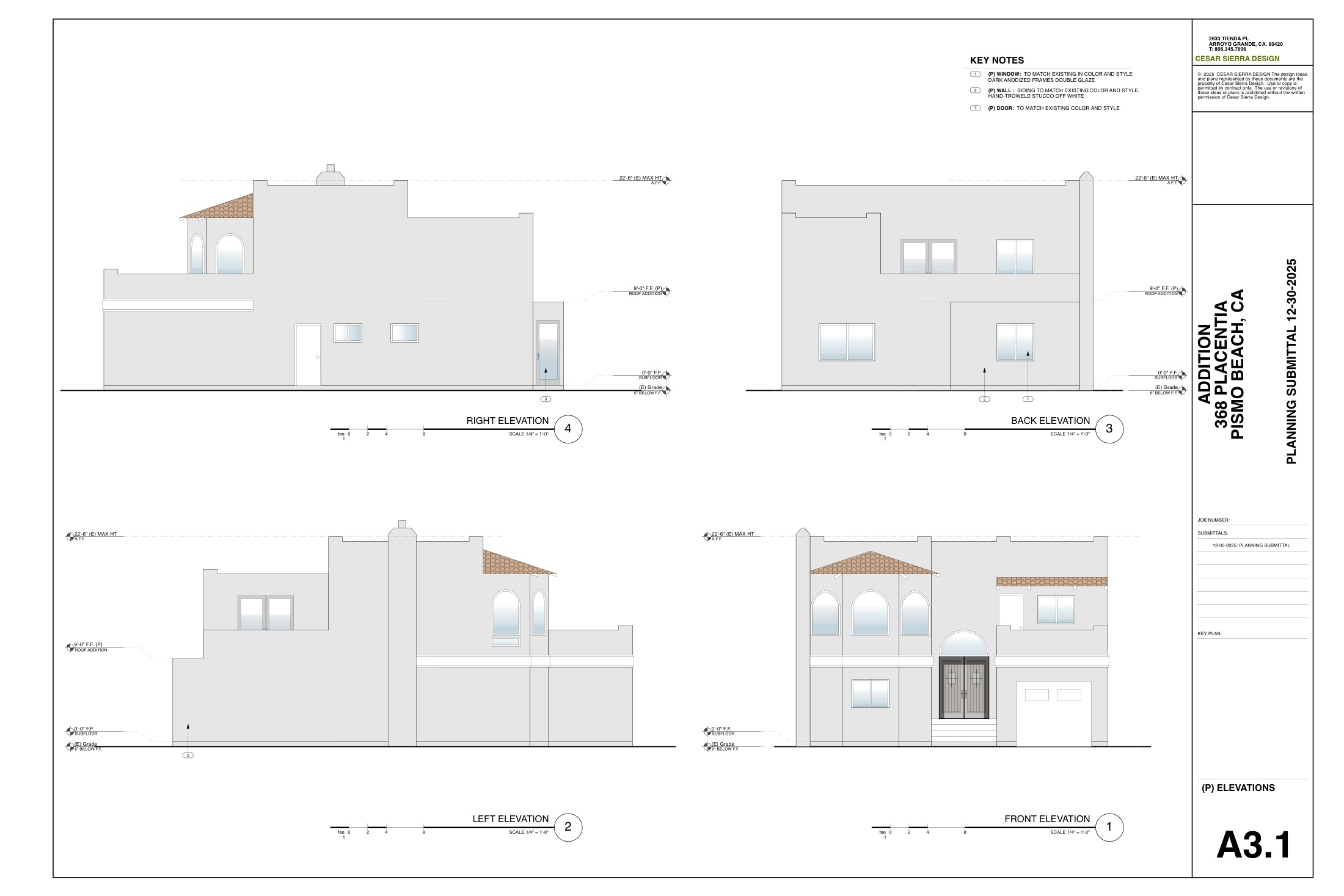
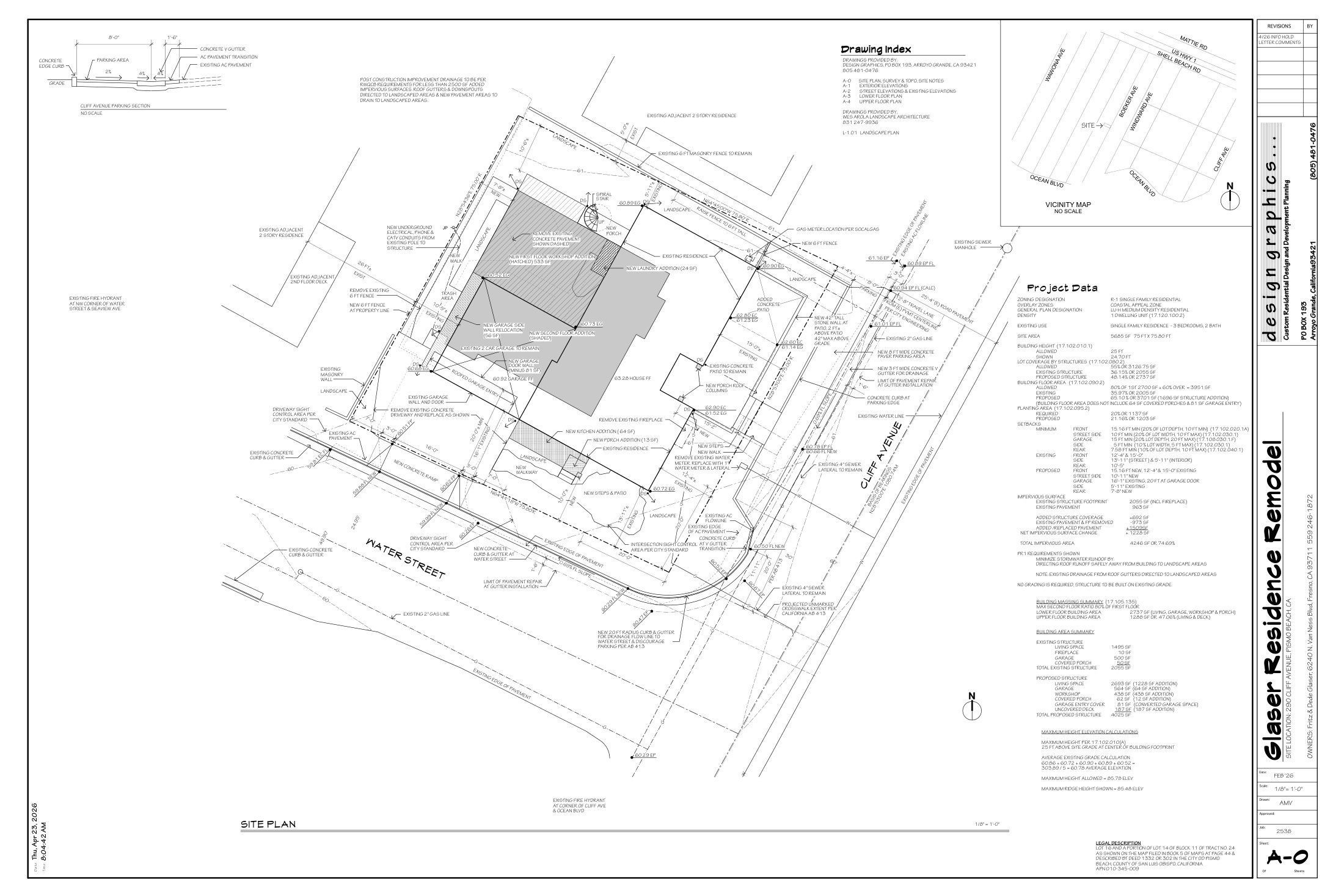
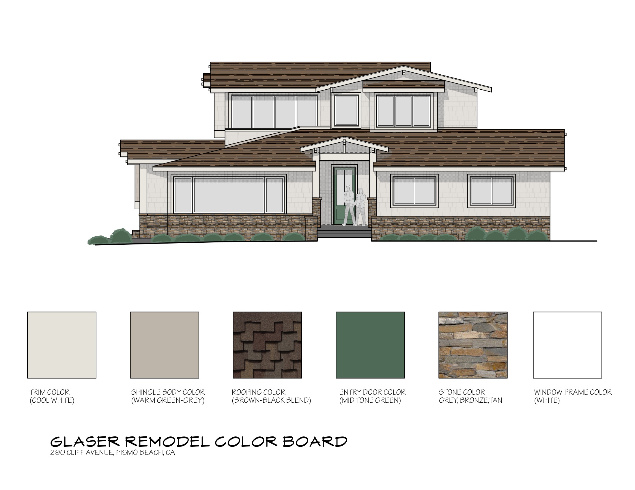
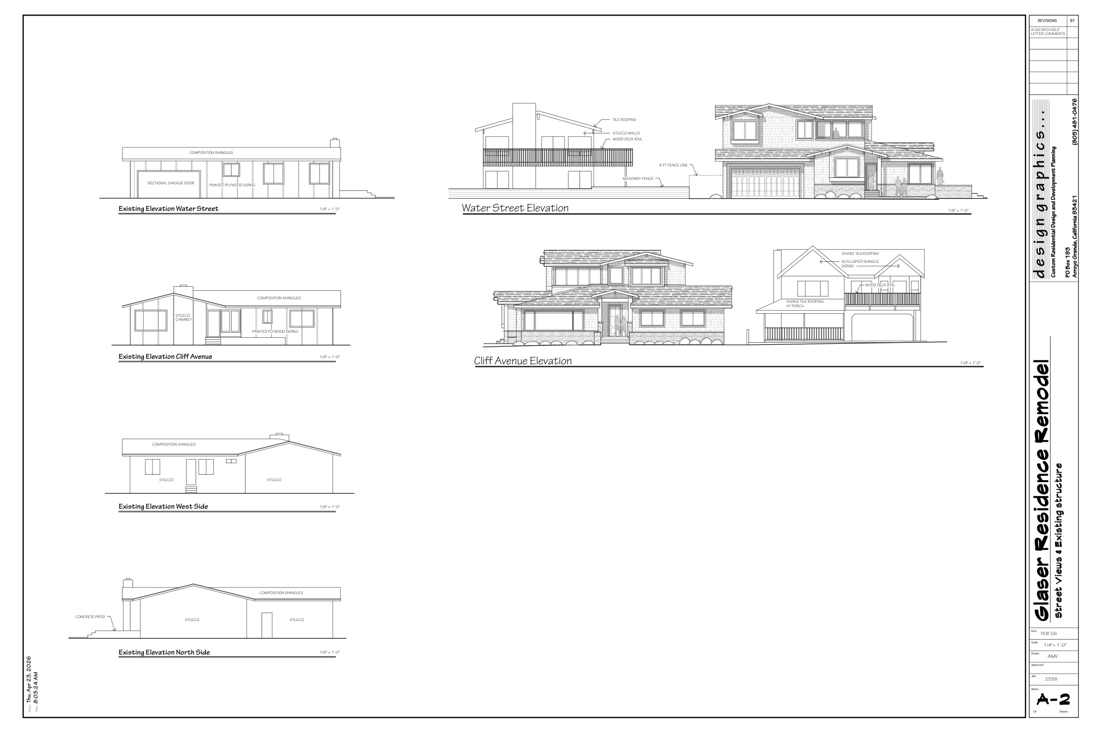
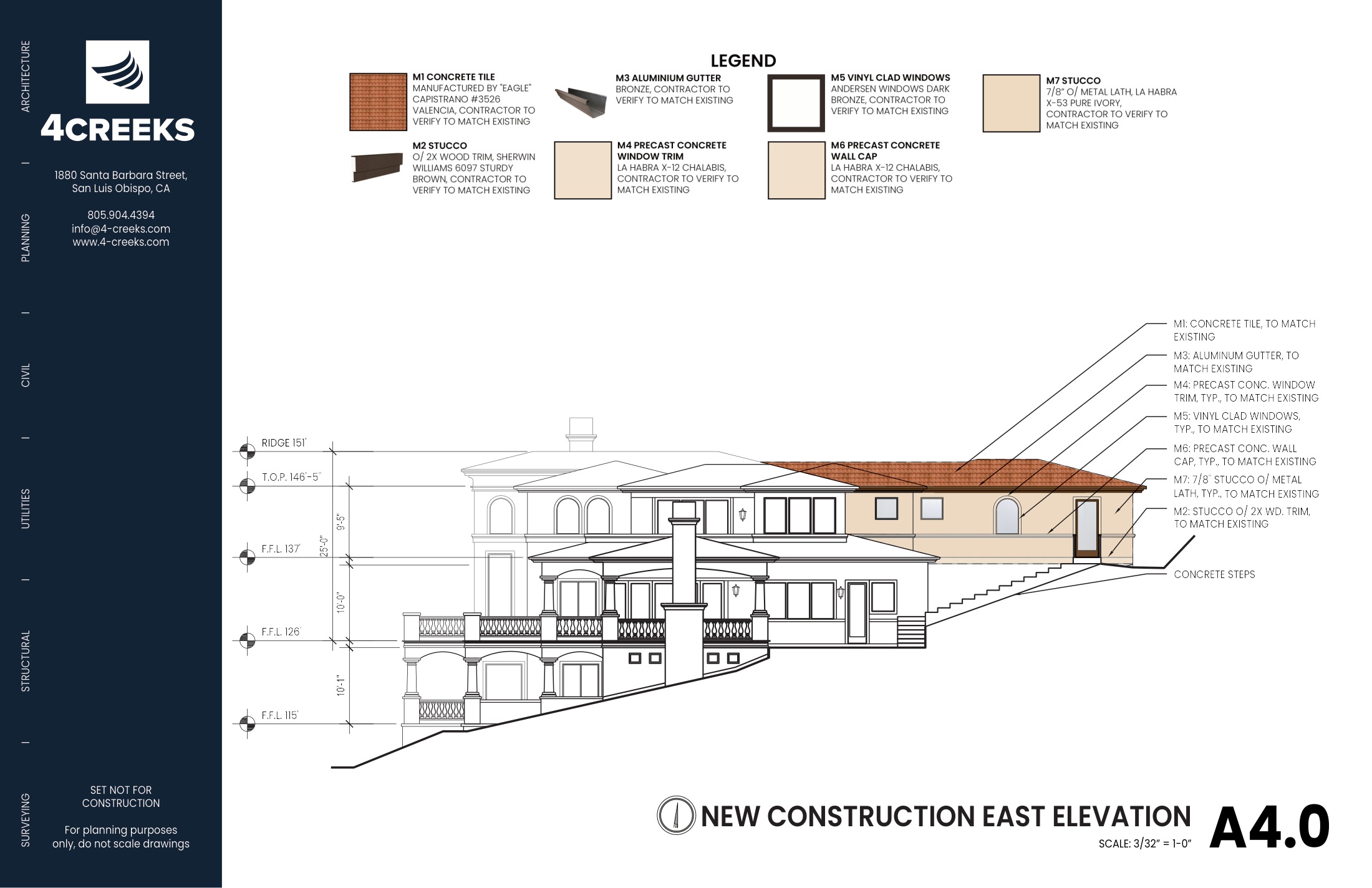
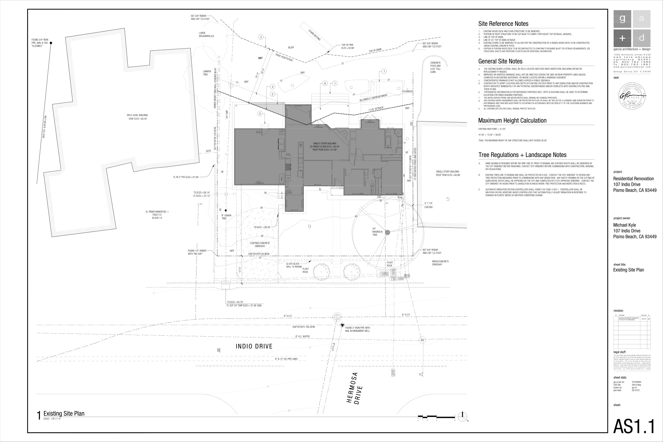
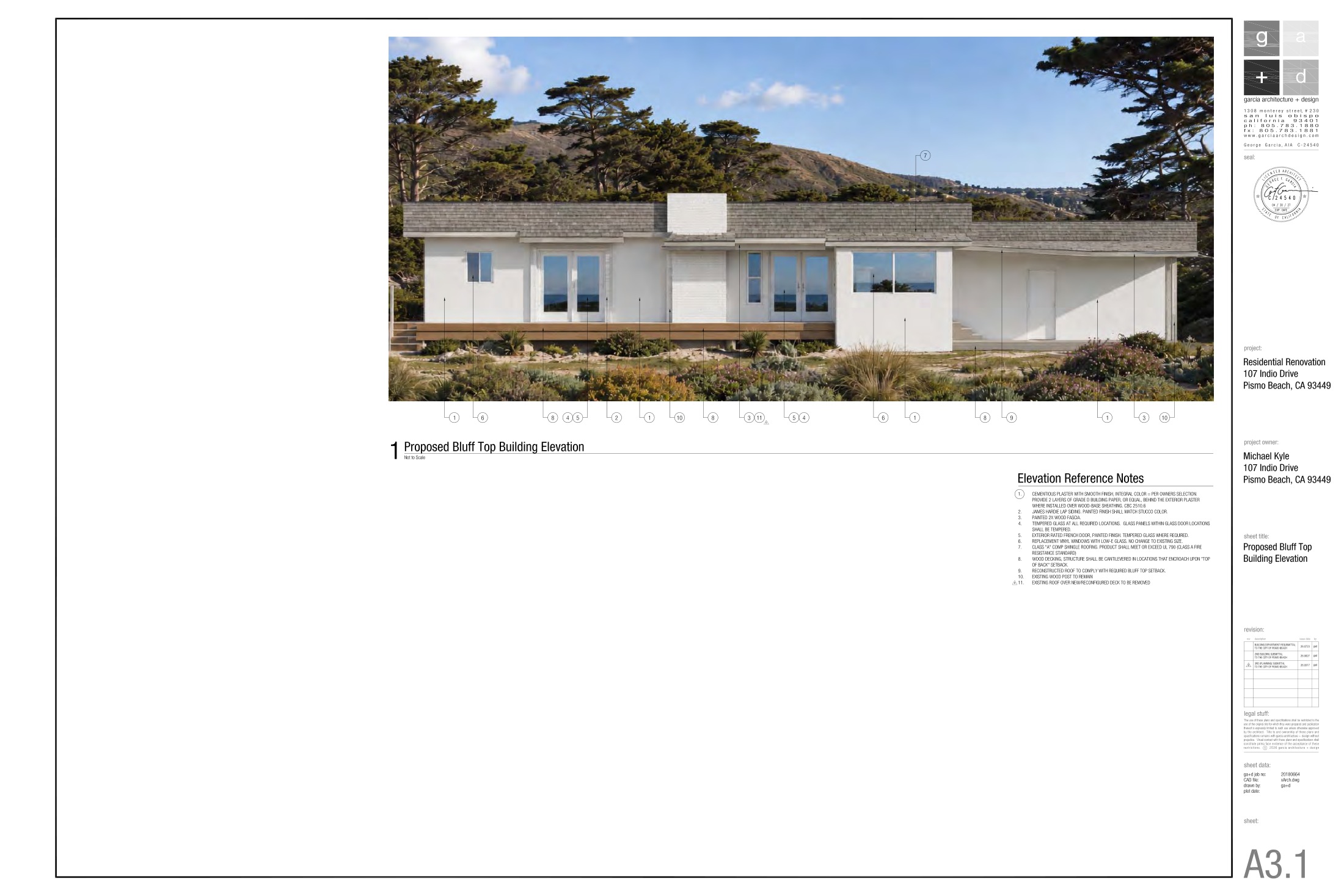
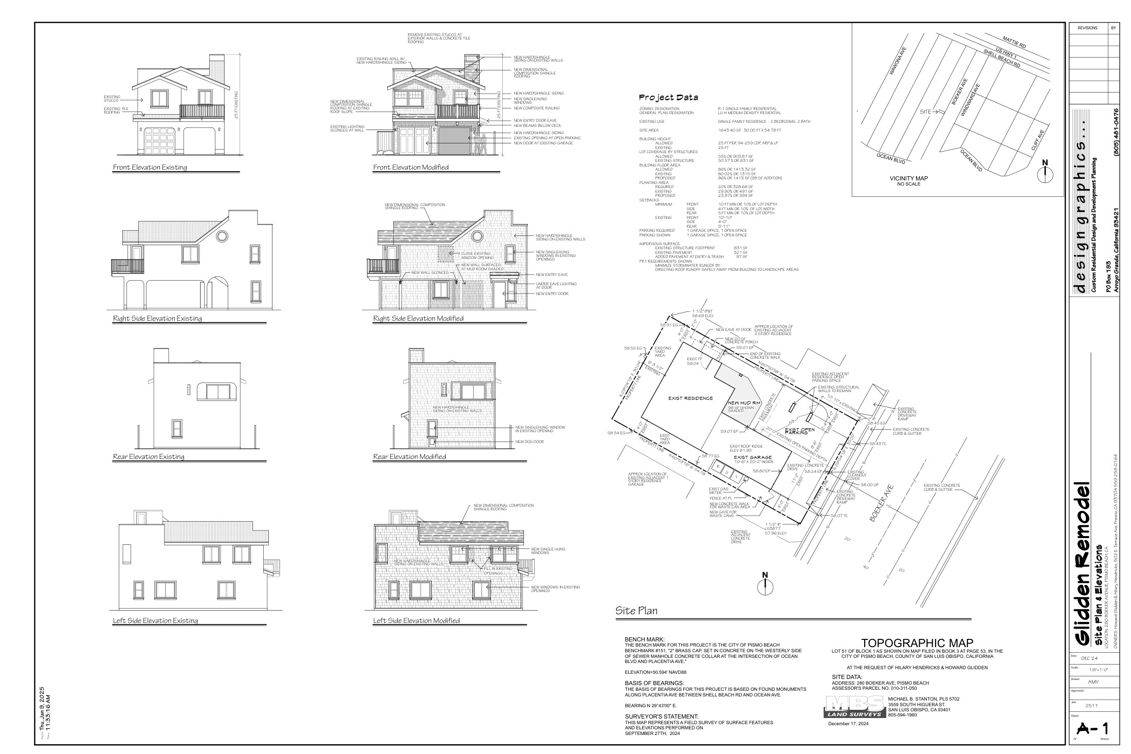
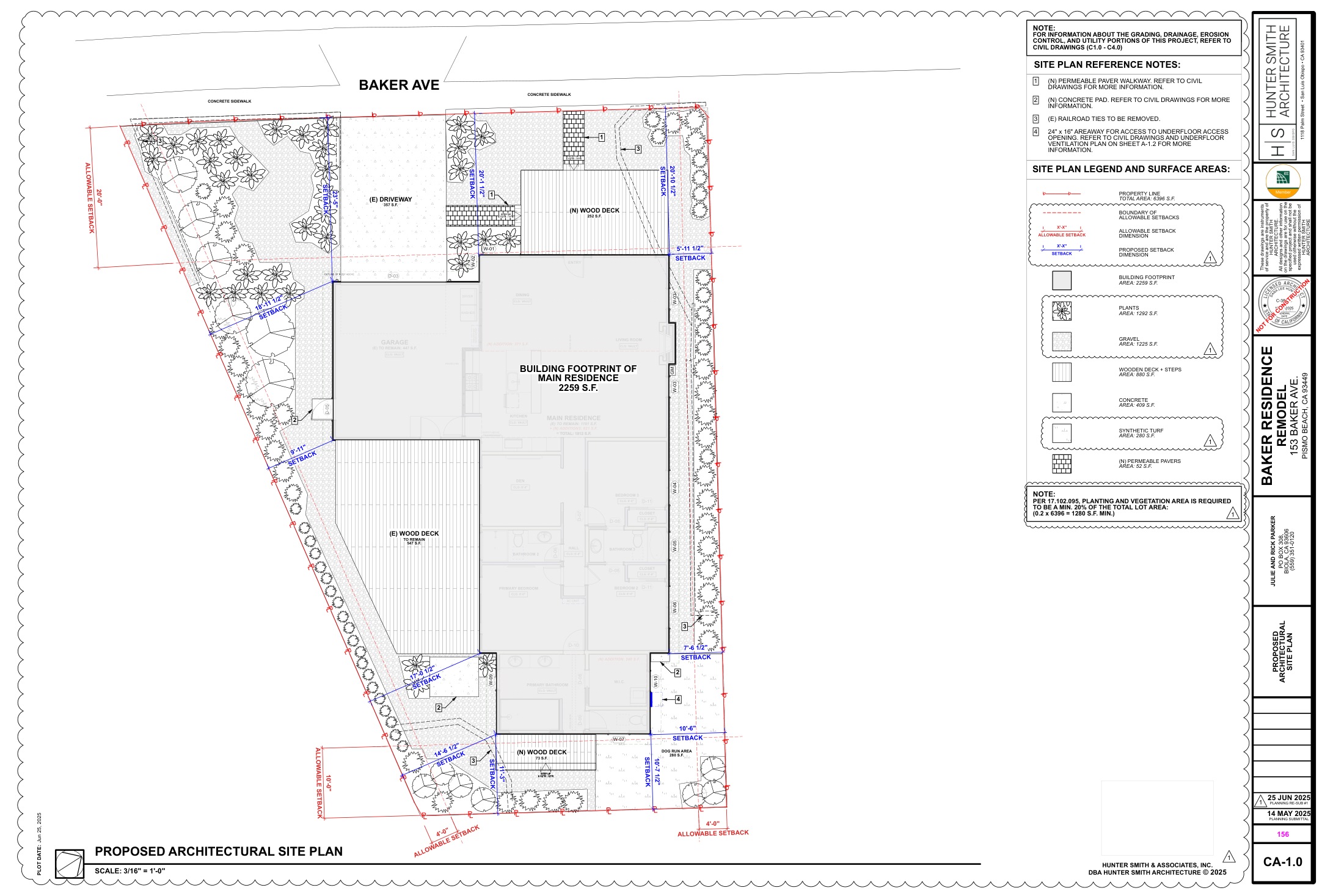
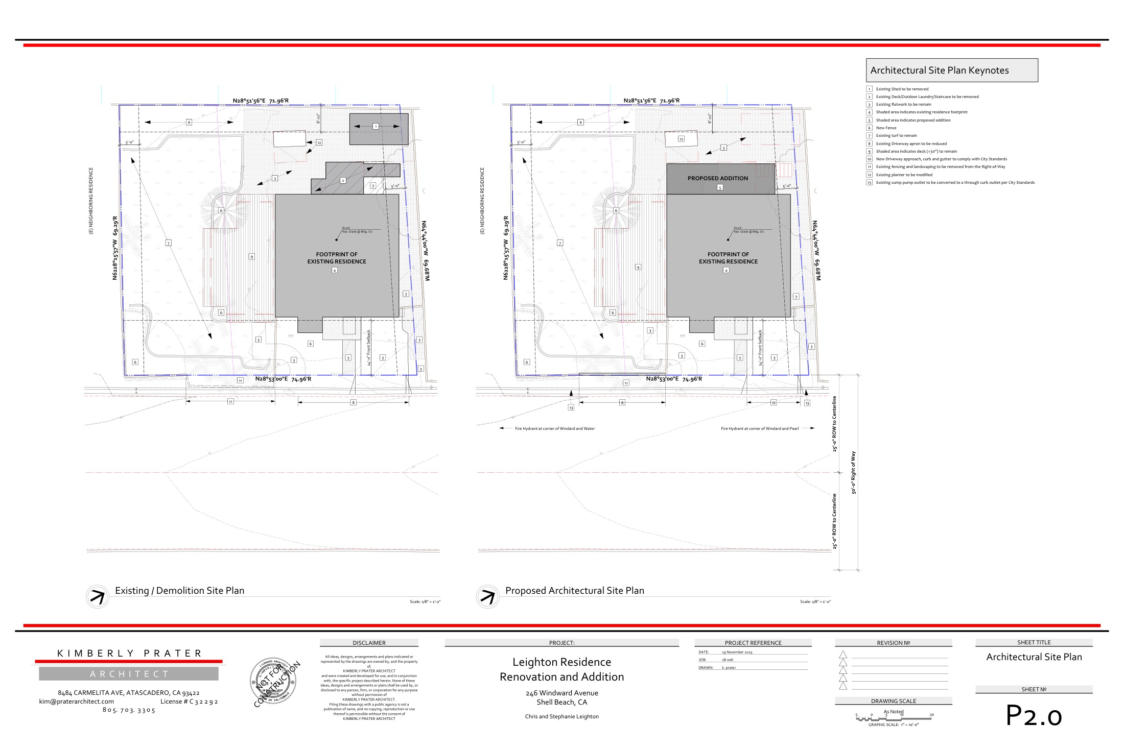
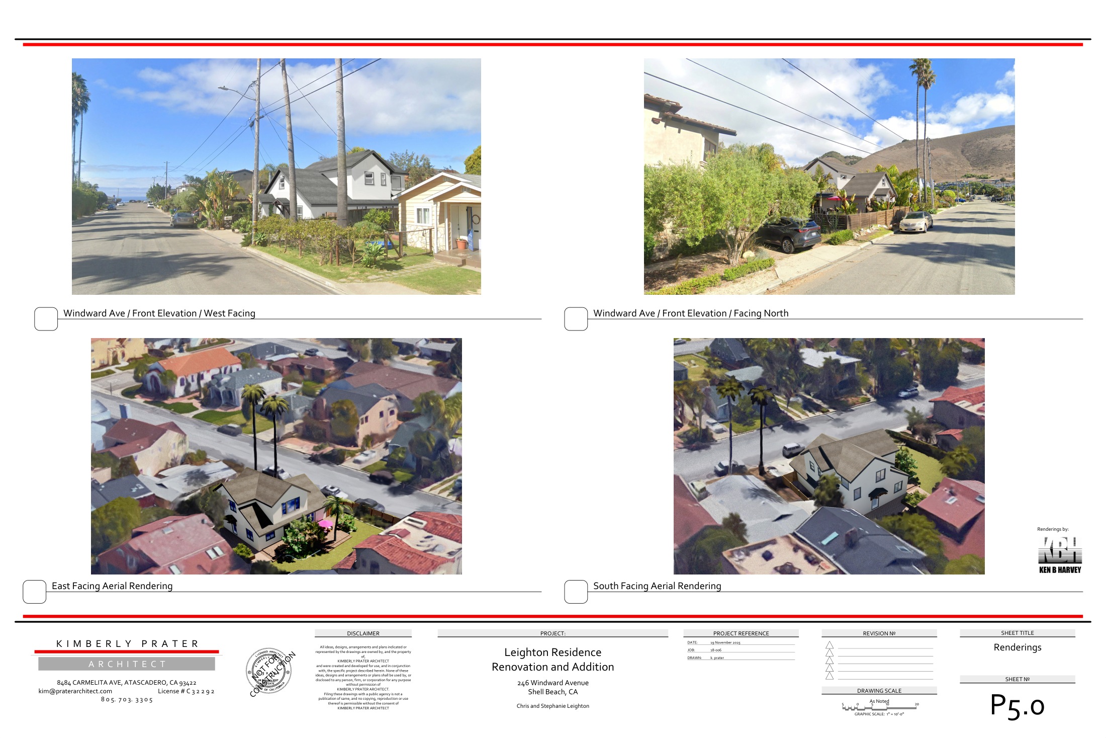
The application changes an existing residential lot. Compare the site plan with the elevations to distinguish added upper-floor mass and decks from the ground-level footprint.
The published program is summarized above. A basement or second floor adds floor area without the same increase in ground coverage. The images do not quantify lost private views, shadow duration, construction noise or changes in property values.
Supporting source. Interpretation of the documented program, not a new traffic, shadow, noise, view or property-value study.
Site plan. Site plan, PDF page 28. Published application drawing or agency exhibit. Design and revision dates remain visible on the original sheet. August 26, 2025 Original source · Full sheet / image · Zoom in atlasRendering. Rendering, PDF page 36. Published application drawing or agency exhibit. Design and revision dates remain visible on the original sheet. August 26, 2025 Original source · Full sheet / image · Zoom in atlasElevations. Elevations, PDF page 34. Published application drawing or agency exhibit. Design and revision dates remain visible on the original sheet. August 26, 2025 Original source · Full sheet / image · Zoom in atlas
Base source date: August 26, 2025. Additional evidence dates appear under Sources. Research cutoff: November 3, 2026.
Audit note: Project facts expanded from staff report and plans.
Staff report and recommendation reviewed. A matching final action, appeal outcome, building permit and current construction activity were not verified.
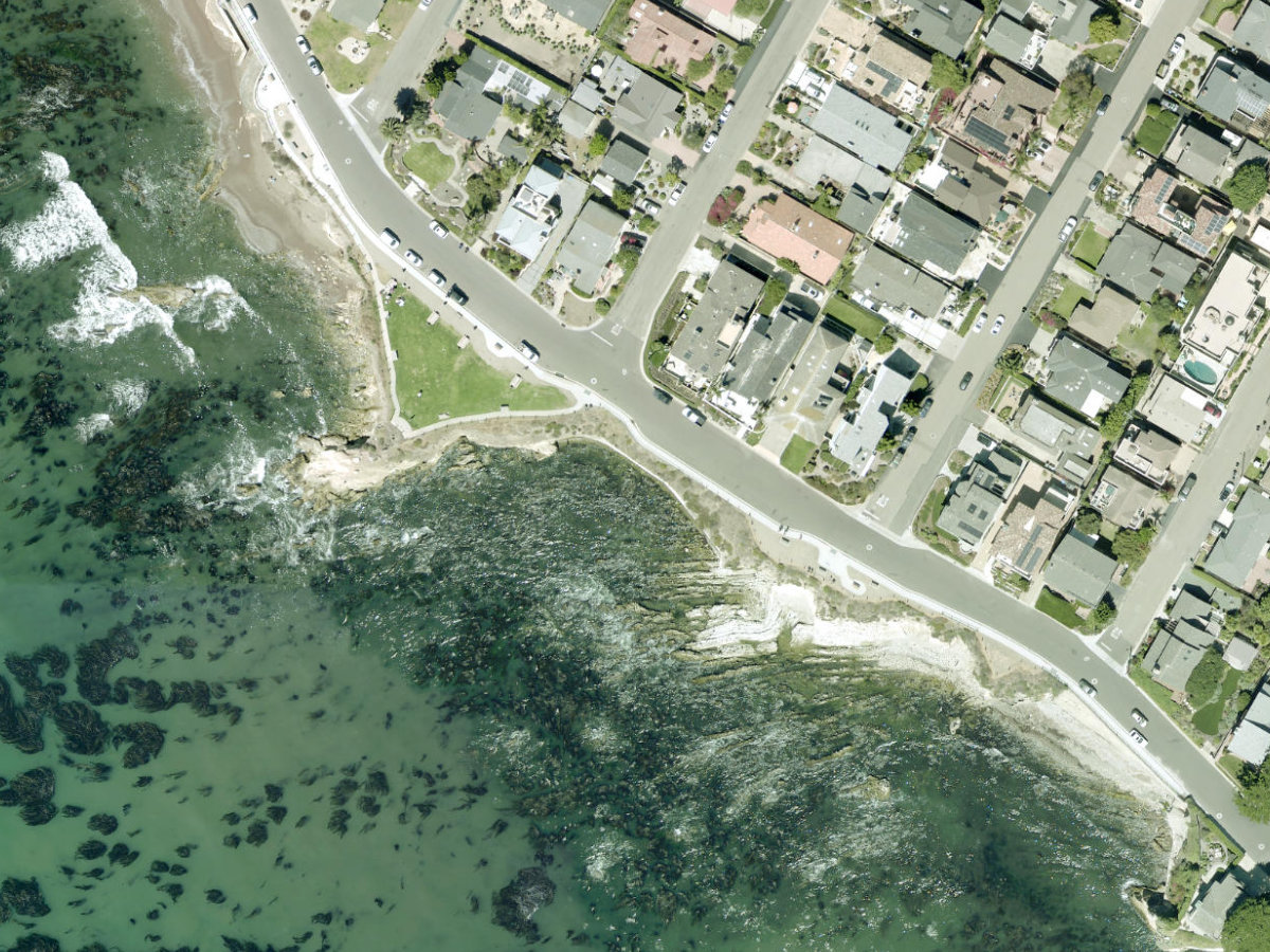
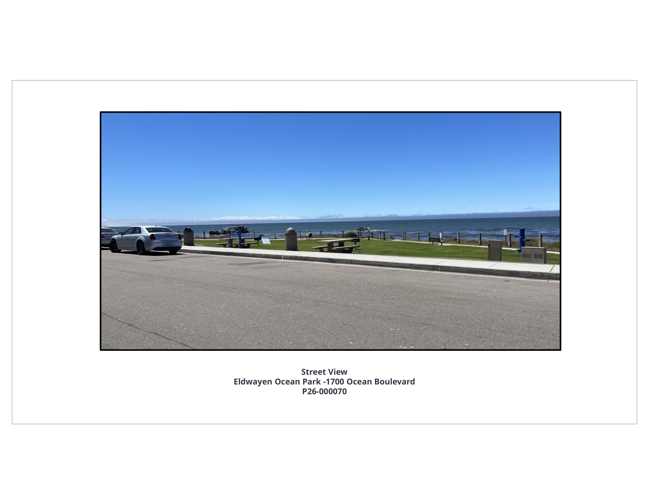
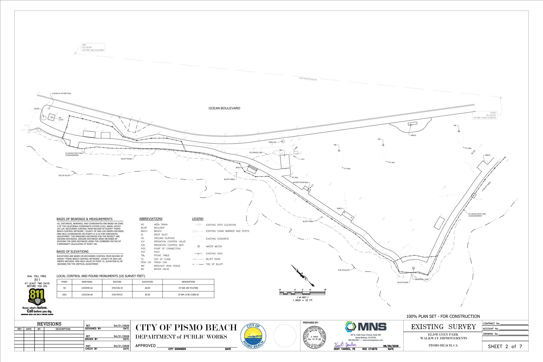
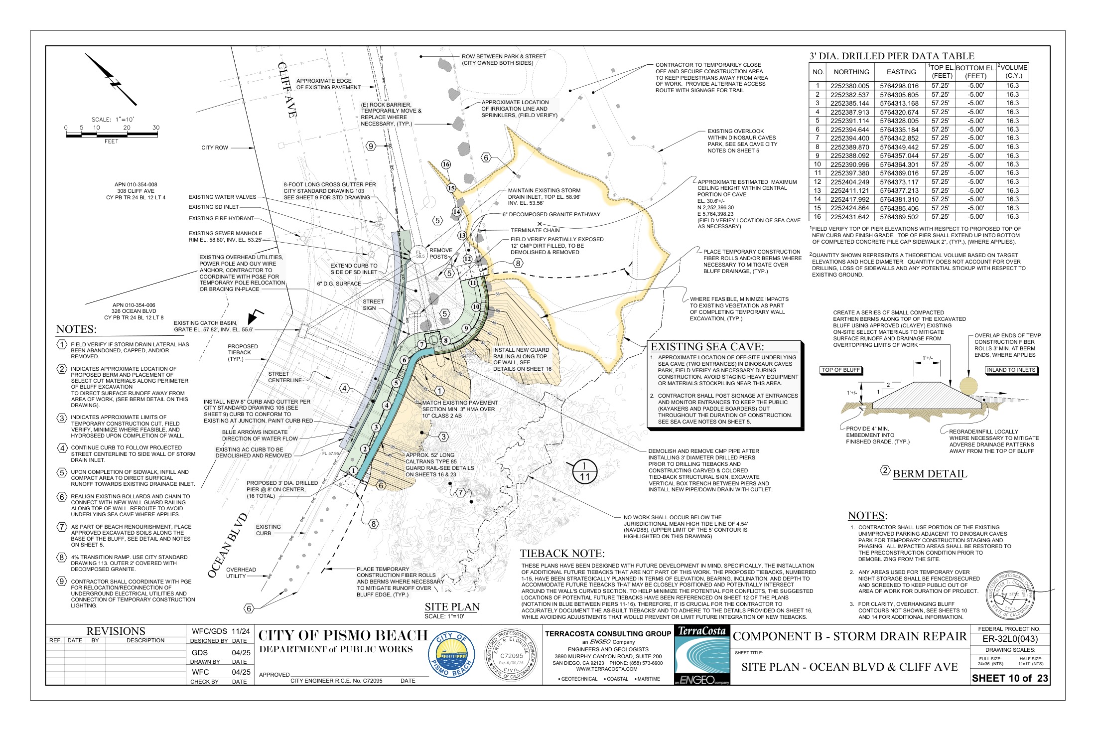
The work rearranges a blufftop public park, paths and seating. The civil drawing is more informative than a building rendering because the proposal is principally landscape/access work.
A decomposed-granite path replaces concrete in the stated scope. Construction access, coastal erosion and the final location of benches/path edges are the practical details to check.
Supporting source. Interpretation of the documented program, not a new traffic, shadow, noise, view or property-value study.
Street photo. Street photo, PDF page 13. Published application drawing or agency exhibit. Design and revision dates remain visible on the original sheet. July 28, 2026 Original source · Full sheet / image · Zoom in atlasExisting conditions survey. Survey of the existing street, bluff and access context. It is not a final construction footprint. July 28, 2026 Original source · Full sheet / image · Zoom in atlas
Base source date: July 28, 2026. Additional evidence dates appear under Sources. Research cutoff: November 3, 2026.
Audit note: Project facts expanded from staff report and plans.
Minutes reviewed are draft minutes reproduced in a later agenda packet. Signed final resolution, appeal outcome, permit effectiveness and current building activity were not independently confirmed.
Still to verify
Full permit and inspection history
Confirmed construction start and completion
Current total development cost and funding
RECORD 86 • Shell Beach
401 Shell Beach Road mixed-use
401 Shell Beach Road, Pismo Beach, CA
PC approval recorded / permits unverified Mixed use · Jurisdiction: Pismo Beach
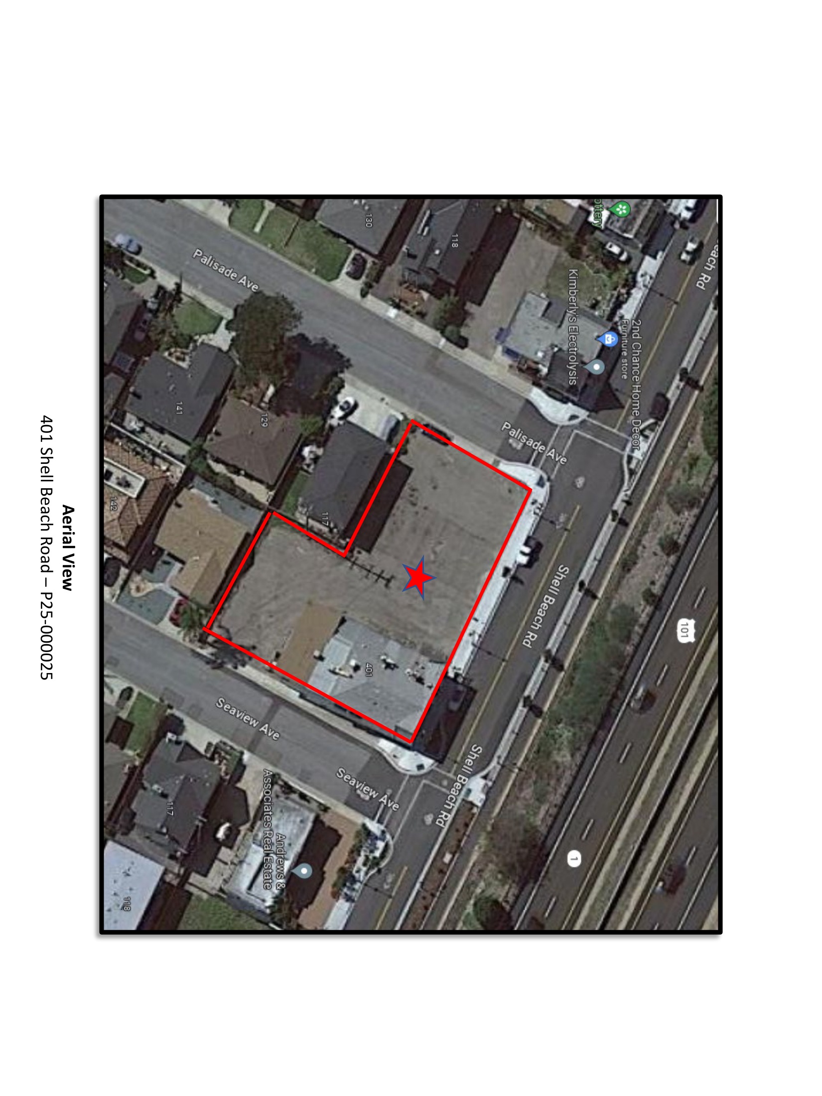
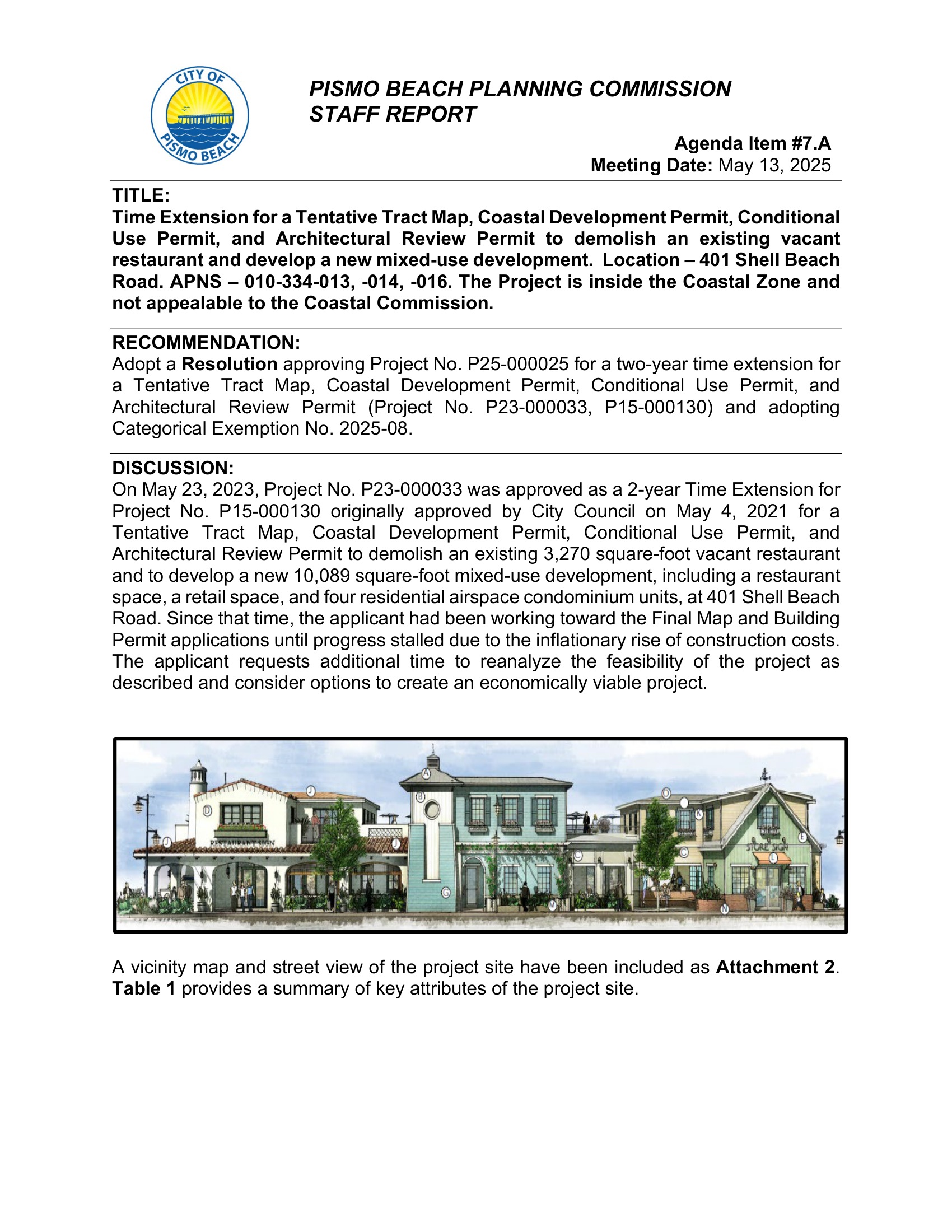
10,089-square-foot mixed-use building with restaurant, retail and four residential airspace condos, replacing a vacant 3,270-square-foot restaurant.
A mixed-use building replaces a vacant restaurant with commercial space and four homes. The retrieved packet includes a small rendering, so it provides appearance context but limited detail.
The proposal is 10,089 square feet versus the existing 3,270-square-foot restaurant. Those are building areas, not an exact trip or population increase.
Supporting source. Interpretation of the documented program, not a new traffic, shadow, noise, view or property-value study.
Site photo. Site photo, PDF page 7. Published application drawing or agency exhibit. Design and revision dates remain visible on the original sheet. May 13, 2025 Original source · Full sheet / image · Zoom in atlasStaff report rendering. Staff report rendering, PDF page 1. Published application drawing or agency exhibit. Design and revision dates remain visible on the original sheet. May 13, 2025 Original source · Full sheet / image · Zoom in atlas
Base source date: May 13, 2025. Additional evidence dates appear under Sources. Research cutoff: November 3, 2026.
Audit note: Project facts expanded from staff report and plans.
Extension to May 13, 2027 described in the report; rising construction costs had stalled progress and prompted a feasibility review. Source
Map and parcel evidence
Address/intersection geocode; approximate point, not parcel or project extent. Coordinates: 35.155295, -120.666694.
APNs named in a project source: 010-334-013, 010-334-014, 010-334-016. Gold map shading shows those assessor parcels, which may extend beyond the work area.
Geocoder match: 401 Shell Beach Rd, Pismo Beach, California, 93449. An address match does not establish the extent of a development.
Published project contacts
Cindy Jacinth · Planning Manager, City of Pismo Beach · Source
Minutes reviewed are draft minutes reproduced in a later agenda packet. Signed final resolution, appeal outcome, permit effectiveness and current building activity were not independently confirmed.
Still to verify
Full permit and inspection history
Confirmed construction start and completion
Current total development cost and funding
RECORD 87 • Shell Beach
853 Shell Beach Road mixed-use
853 Shell Beach Road, Pismo Beach, CA
Marketed concept / unverified Mixed use · Jurisdiction: Pismo Beach
Advertised proposal for 4,350 square feet of ground-floor commercial space and 4,200 square feet of second-floor residential space.
A two-level commercial/residential concept would change the frontage along Shell Beach Road. The reported floor areas identify its size but do not show its shape.
A current approved plan or rendering was not verified. The advertised program is 4,350 commercial and 4,200 residential square feet.
Supporting source. Interpretation of the documented program, not a new traffic, shadow, noise, view or property-value study.
Design images not verified: No reliable proposed-design image was retrieved from the reviewed public material. The aerial and documented program provide context without inventing a future building shape.
Base source date: Listing updated October 29, 2026. Additional evidence dates appear under Sources. Research cutoff: November 3, 2026.
Audit note: Listing evidence only; an active city application or entitlement was not verified.
Map and parcel evidence
Address/intersection geocode; approximate point, not parcel or project extent. Coordinates: 35.156396, -120.669437.
No complete project parcel list was verified. Nearby parcel lines are context only.
Geocoder match: 853 Shell Beach Rd, Pismo Beach, California, 93449. An address match does not establish the extent of a development.
Published project contacts
No project-specific contact was verified in the reviewed material. Use the responsible agency and application reference where available.
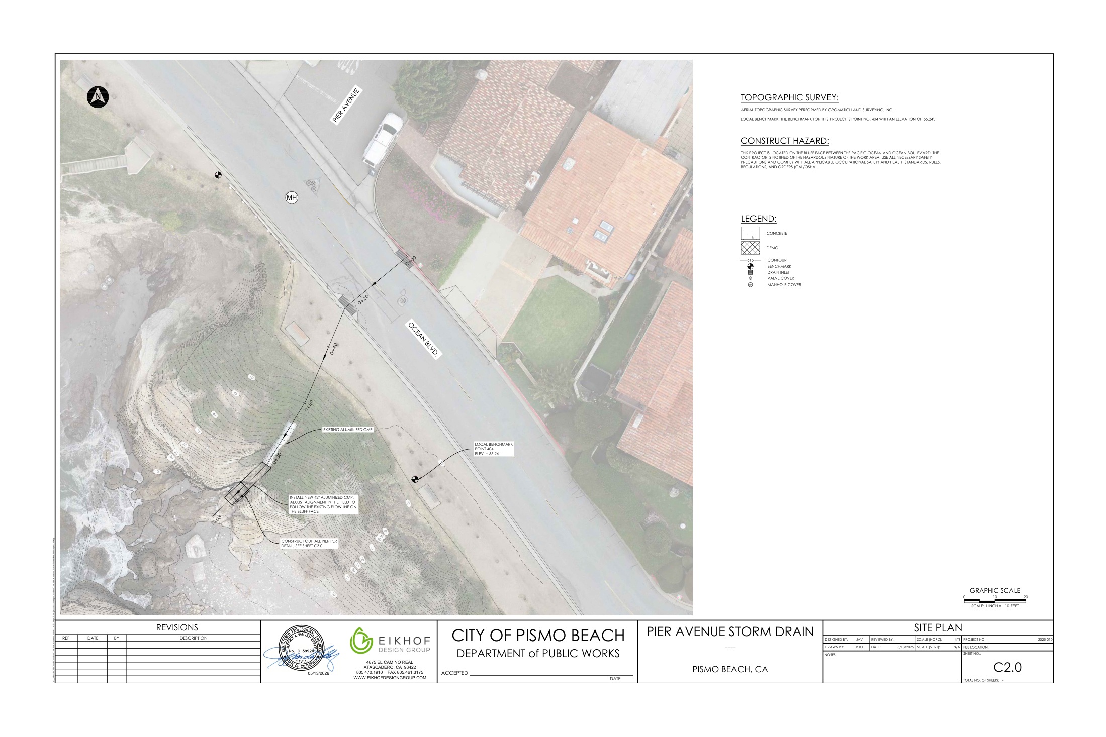
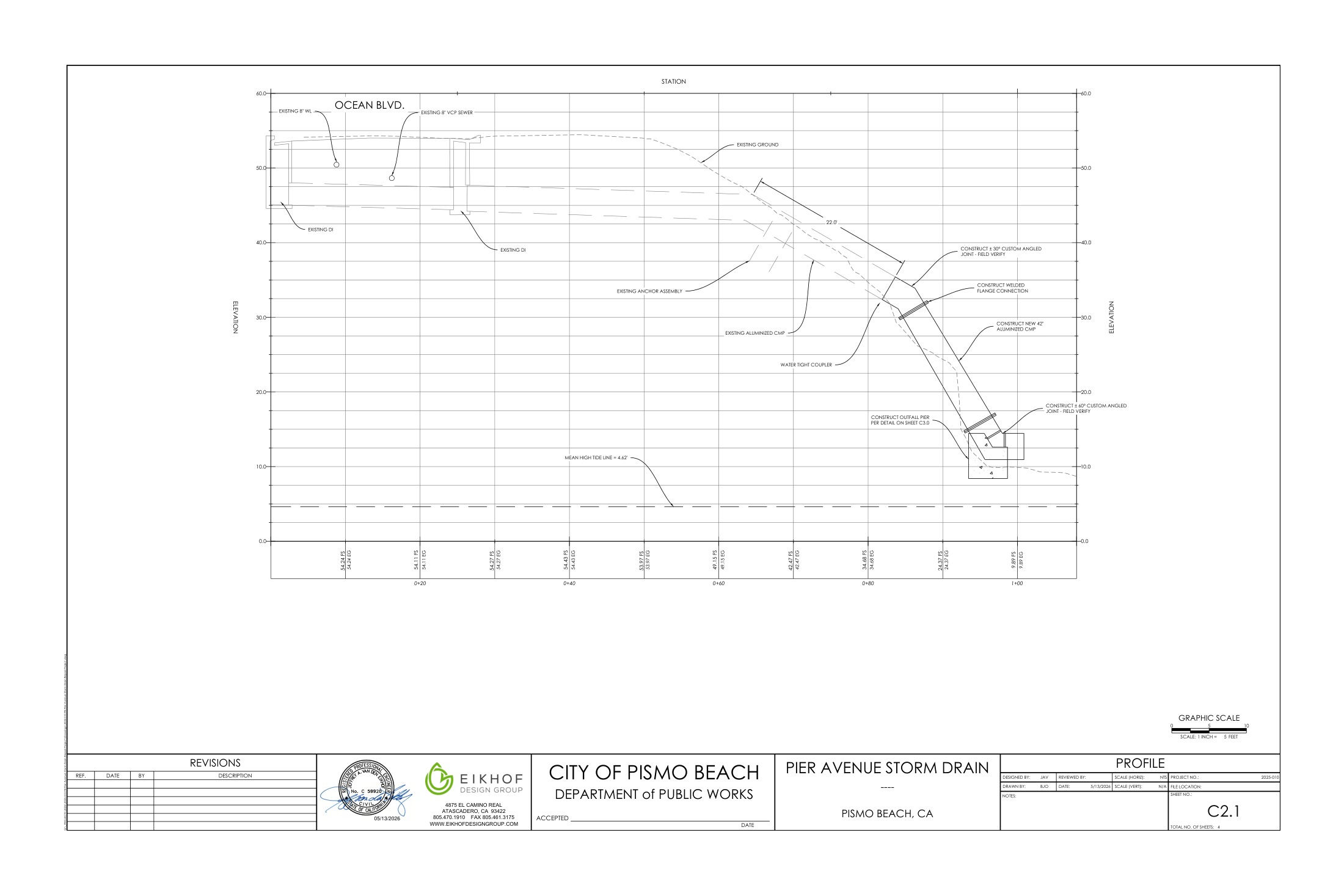
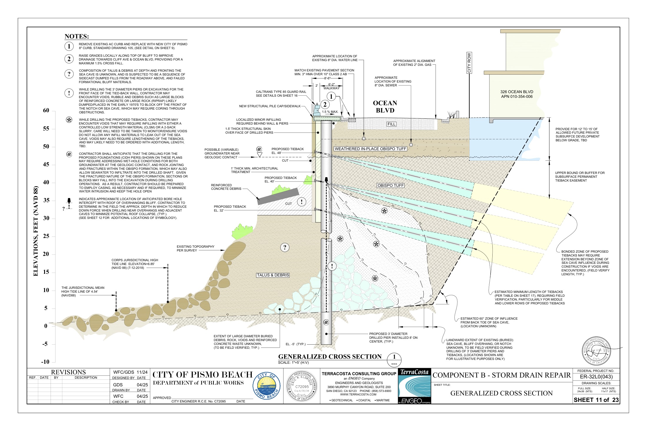
The work changes a stormwater outfall and its supporting structure at the bluff. Most of the footprint is engineering work rather than occupied building space.
The stated scope includes about 30 feet of 42-inch pipe, joints and a concrete pier footing. Temporary access and coastal work limits are more relevant than new resident/employee traffic.
Supporting source. Interpretation of the documented program, not a new traffic, shadow, noise, view or property-value study.
Site plan. Site plan, PDF page 19. Published application drawing or agency exhibit. Design and revision dates remain visible on the original sheet. July 28, 2026 Original source · Full sheet / image · Zoom in atlasEngineering section. Engineering section, PDF page 20. Published application drawing or agency exhibit. Design and revision dates remain visible on the original sheet. July 28, 2026 Original source · Full sheet / image · Zoom in atlas
Base source date: July 28, 2026. Additional evidence dates appear under Sources. Research cutoff: November 3, 2026.
Audit note: Project facts expanded from staff report and plans.
Minutes reviewed are draft minutes reproduced in a later agenda packet. Signed final resolution, appeal outcome, permit effectiveness and current building activity were not independently confirmed.
PC approval recorded / permits unverified Education / civic / culture · Jurisdiction: Pismo Beach
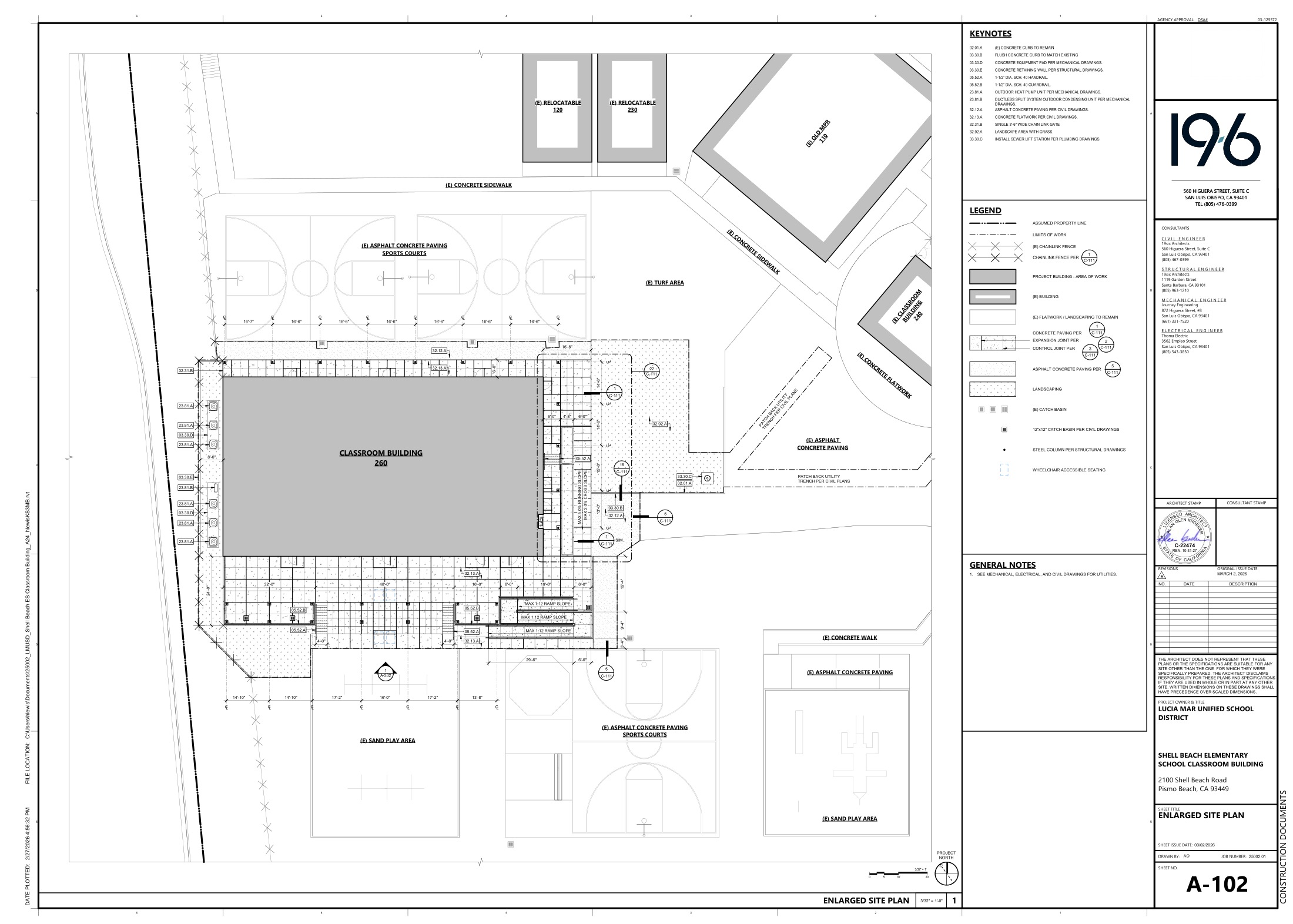
Second phase: replace six additional portable classrooms with one 6,750-square-foot building containing six classrooms, bathrooms, office and IT space. The May 2025 phase is a separate project, not superseded.
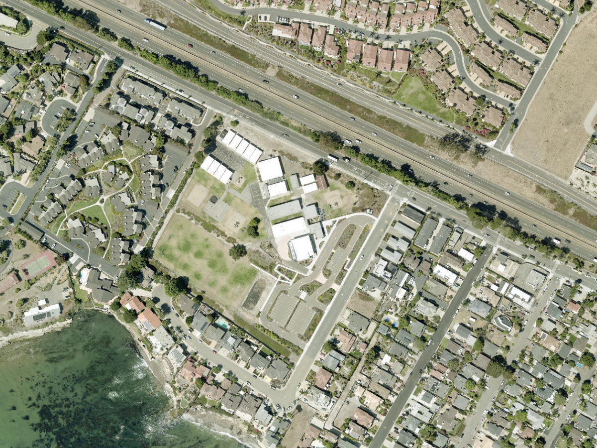
A permanent six-classroom building replaces six additional portable classrooms. The plan and elevations show a compact school-building footprint within the existing campus.
The 6,750-square-foot building is phase two. Replacement classrooms do not by themselves establish a net increase in enrollment or school traffic.
Supporting source. Interpretation of the documented program, not a new traffic, shadow, noise, view or property-value study.
Site plan. Site plan, PDF page 27. Published application drawing or agency exhibit. Design and revision dates remain visible on the original sheet. May 12, 2026 Original source · Full sheet / image · Zoom in atlasElevations. Elevations, PDF page 33. Published application drawing or agency exhibit. Design and revision dates remain visible on the original sheet. May 12, 2026 Original source · Full sheet / image · Zoom in atlas
Base source date: May 12, 2026. Additional evidence dates appear under Sources. Research cutoff: November 3, 2026.
Audit note: Audit correction: 2025 and 2026 are separate phases.
Minutes reviewed are draft minutes reproduced in a later agenda packet. Signed final resolution, appeal outcome, permit effectiveness and current building activity were not independently confirmed.
Staff report conflicts on the APN: cover gives 010-221-009, while the site table gives 010-212-009. No parcel is highlighted until resolved.
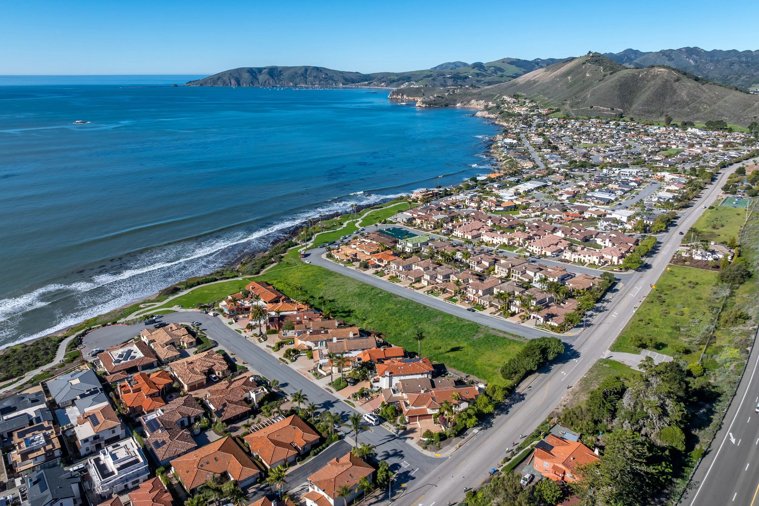
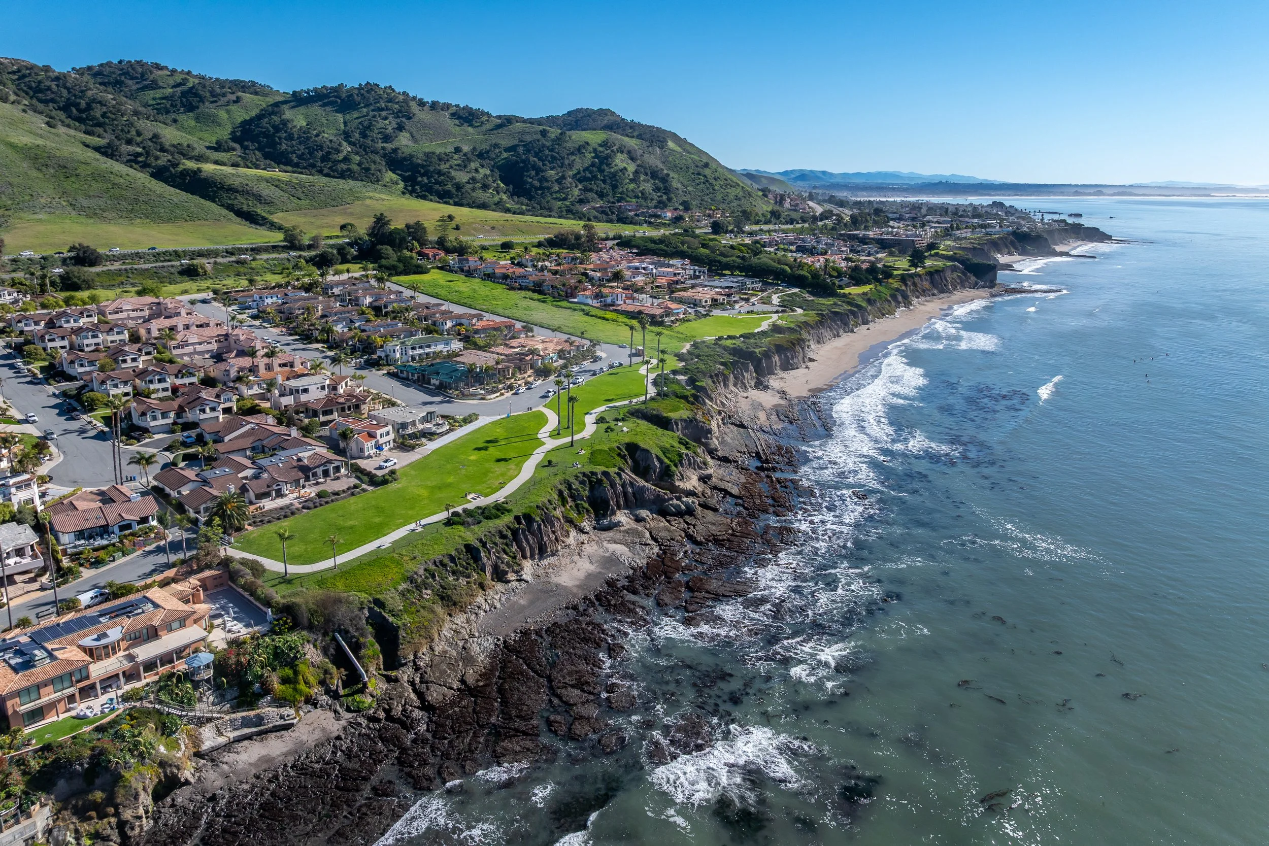
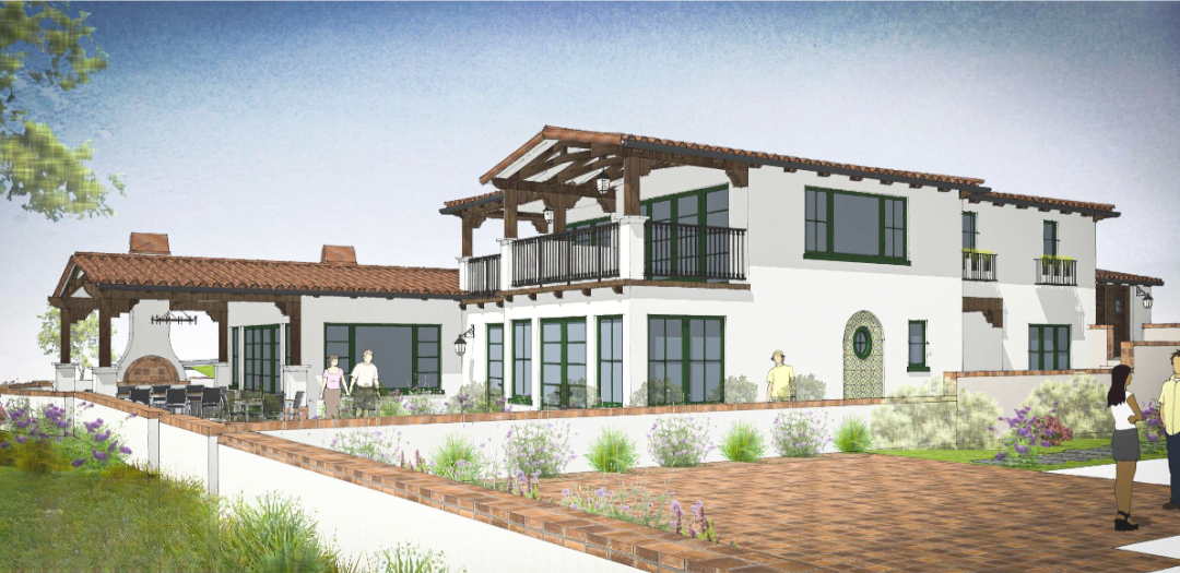
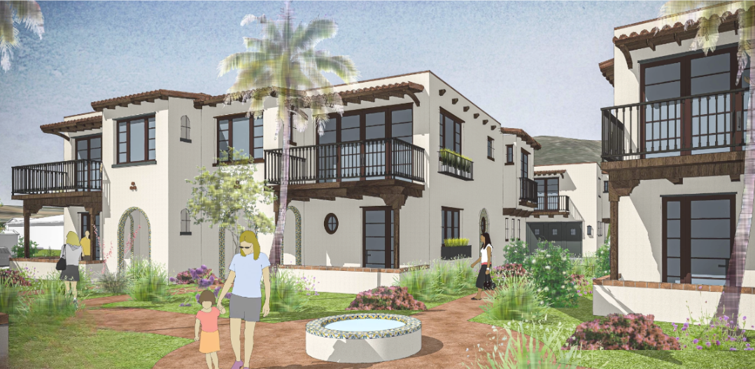
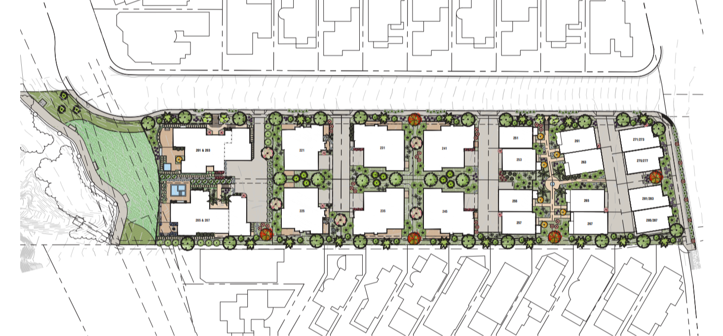
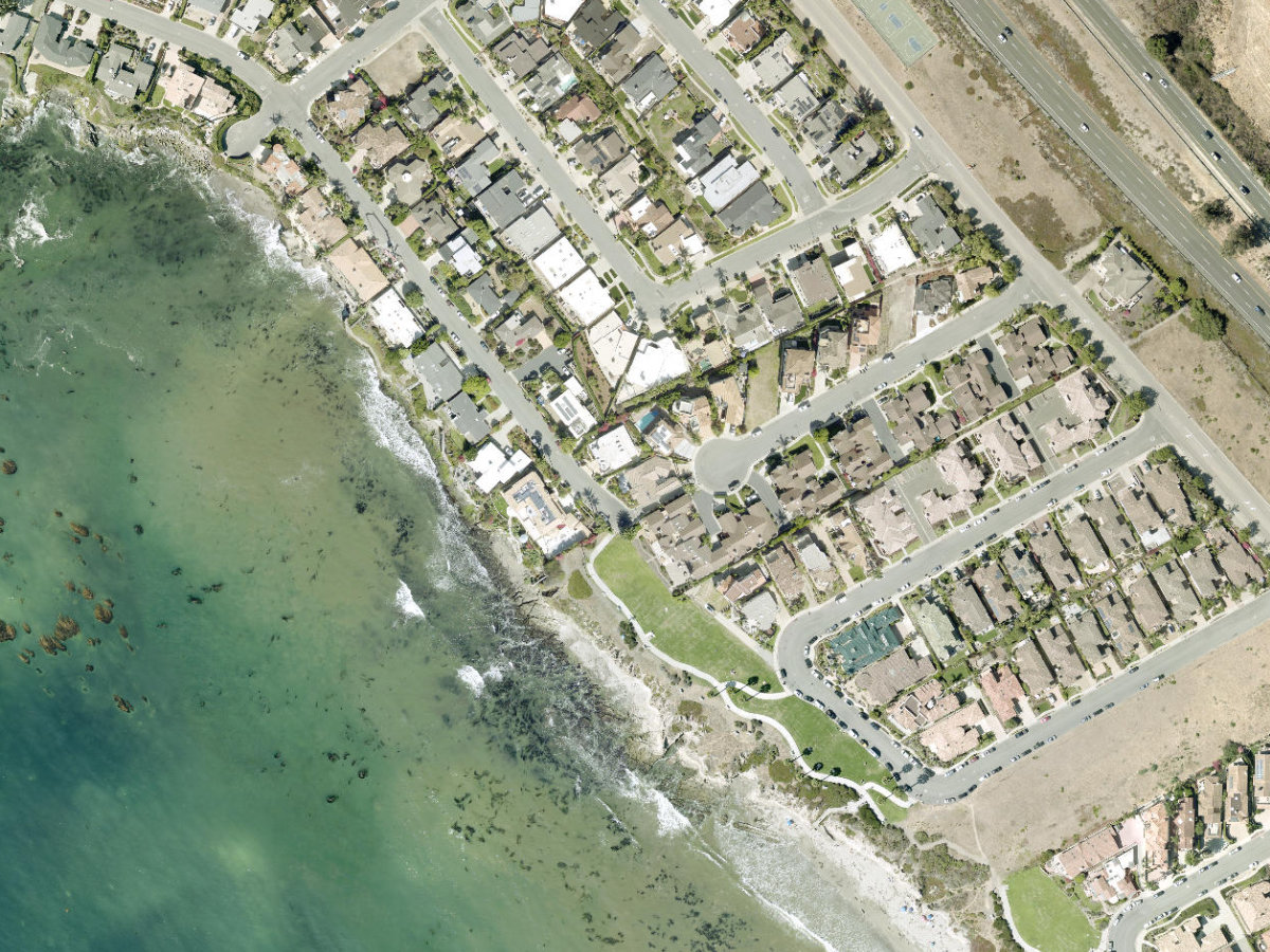
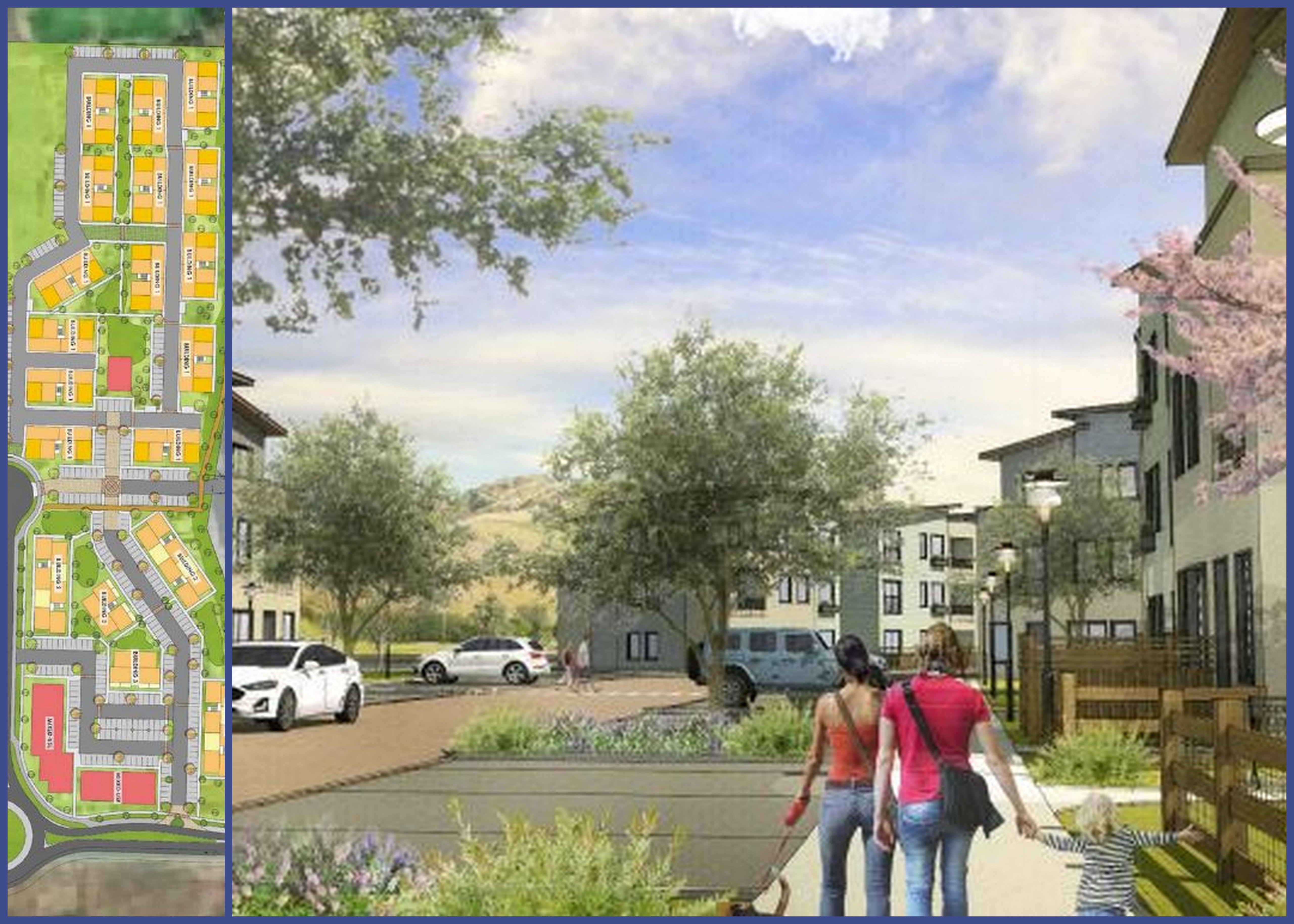
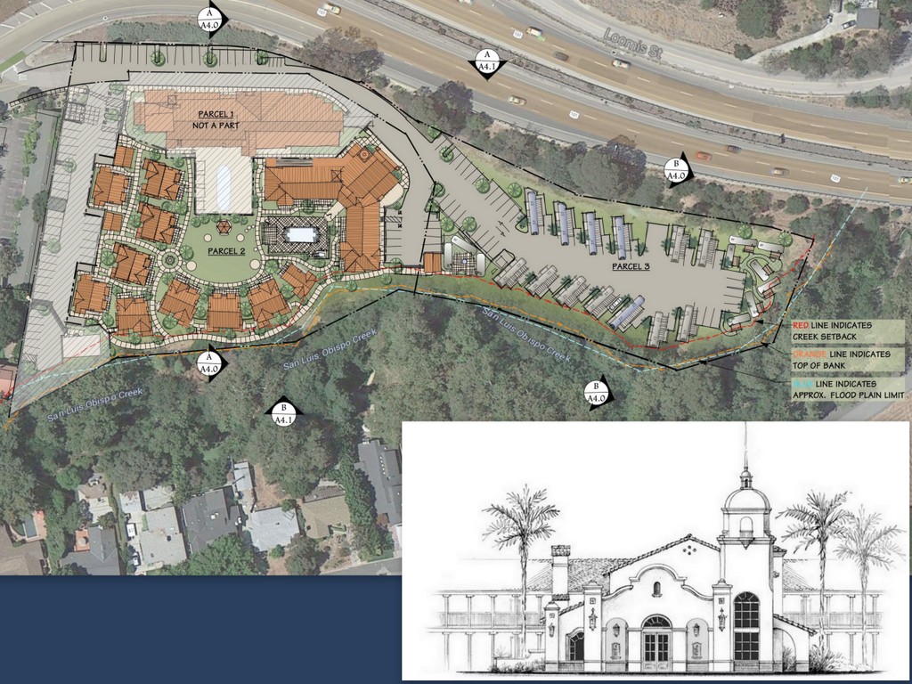
The sponsor plan lays out eight custom homesites and twelve townhomes in a narrow coastal block, with shared access and landscaped spaces. Renderings show Spanish-style architecture; aerial photos show the surrounding homes and bluff setting.
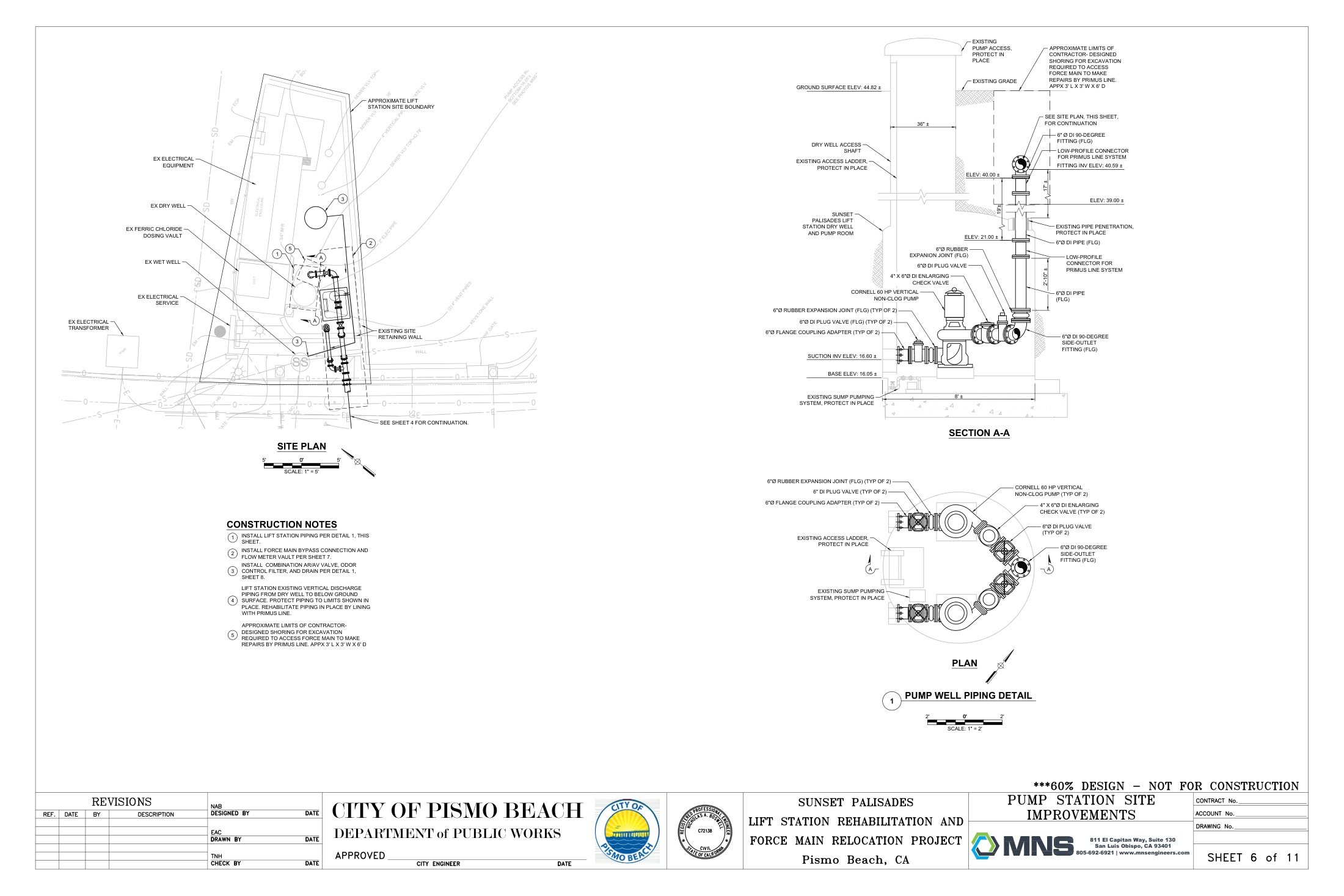
The proposal moves a sewer force main from behind homes into street rights of way and rehabilitates the lift station. The engineering drawing shows the type of underground work involved.
The existing 750-foot line is described as abandoned in place. Construction disruptions and maintenance access matter more than an increase in occupied floor area.
Supporting source. Interpretation of the documented program, not a new traffic, shadow, noise, view or property-value study.
Engineering plan. Engineering plan, PDF page 18. Published application drawing or agency exhibit. Design and revision dates remain visible on the original sheet. June 9, 2026 Original source · Full sheet / image · Zoom in atlas
Base source date: June 9, 2026. Additional evidence dates appear under Sources. Research cutoff: November 3, 2026.
Audit note: Project facts expanded from staff report and plans.
Minutes reviewed are draft minutes reproduced in a later agenda packet. Signed final resolution, appeal outcome, permit effectiveness and current building activity were not independently confirmed.
Still to verify
Full permit and inspection history
Confirmed construction start and completion
Current total development cost and funding
Verified complete project parcel list
RECORD 92 • Shell Beach
US 101 Pismo congestion-relief corridor
Spyglass Drive and US Highway 101, Pismo Beach, CA
Construction reported Public works / infrastructure · Jurisdiction: Pismo Beach
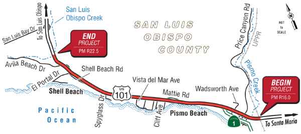
Highway corridor improvements through Shell Beach and Pismo Beach, including a part-time southbound lane, park-and-ride lot and shared-use path segment.
The corridor project includes a part-time southbound travel lane, a park-and-ride lot and a shared-use path segment between Spyglass Drive and Avila Beach Drive. The corridor map shows how these components spread beyond one pin.
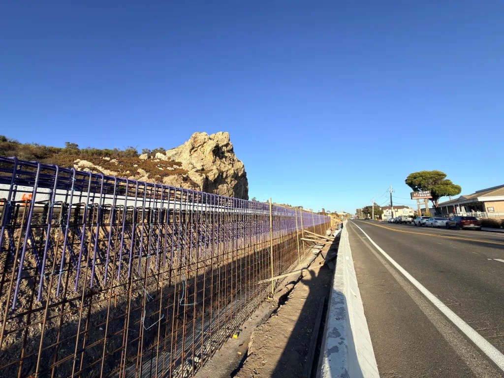
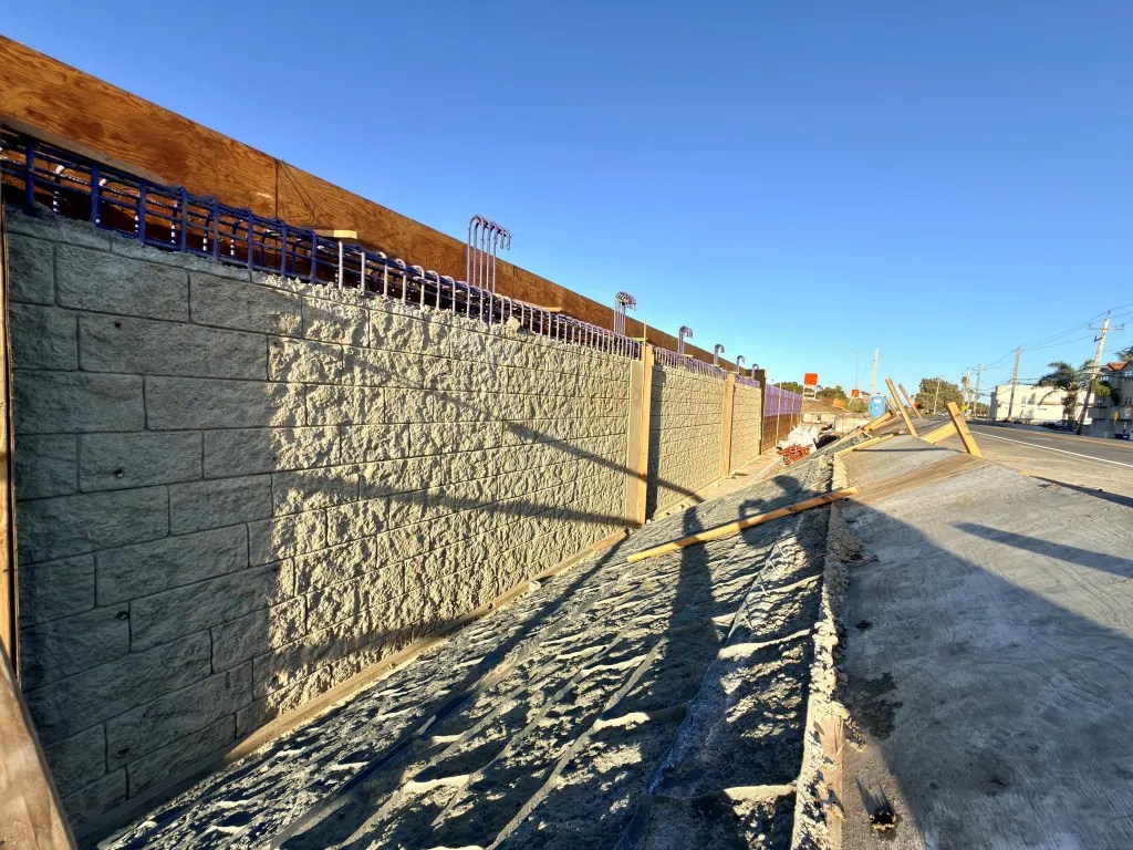
SLOCOG reports work in progress and provides construction updates. The lane is part-time, not a permanently available third lane in each direction. The map and photos do not establish a guaranteed travel-time reduction.
Construction effects and timing
The August 18, 2026 update anticipates intermittent delays of up to 10 minutes at the Spyglass, Mattie and Wadsworth underpasses during weekday school-travel periods. It reports construction began in 2026 and forecasts work through 2028. These are dated forecasts, not a live closure notice. Source
Supporting source. Interpretation of the documented program, not a new traffic, shadow, noise, view or property-value study.
The proposed building/use program above identifies the physical scale currently documented. The aerial shows surrounding streets and existing development, but does not show the future design.
A current approved layout, elevations and site-specific traffic/operations analysis are needed to quantify effects beyond the described program. Missing visuals are flagged rather than replaced with an invented rendering.
Supporting source. Interpretation of the documented program, not a new traffic, shadow, noise, view or property-value study.
Site plan and photos. Site plan and photos, PDF page 17. Published application drawing or agency exhibit. Design and revision dates remain visible on the original sheet. October 13, 2026 Original source · Full sheet / image · Zoom in atlasEngineering plan. Engineering plan, PDF page 20. Published application drawing or agency exhibit. Design and revision dates remain visible on the original sheet. October 13, 2026 Original source · Full sheet / image · Zoom in atlas
Base source date: October 13, 2026. Additional evidence dates appear under Sources. Research cutoff: November 3, 2026.
Audit note: Project facts expanded from staff report and plans.
Minutes reviewed are draft minutes reproduced in a later agenda packet. Signed final resolution, appeal outcome, permit effectiveness and current building activity were not independently confirmed.
Still to verify
Full permit and inspection history
Confirmed construction start and completion
Current total development cost and funding
RECORD 118 • Shell Beach
1717 Shell Beach Road mixed-use
1717 Shell Beach Road, Pismo Beach, CA
PC approval recorded / permits unverified Mixed use · Jurisdiction: Pismo Beach
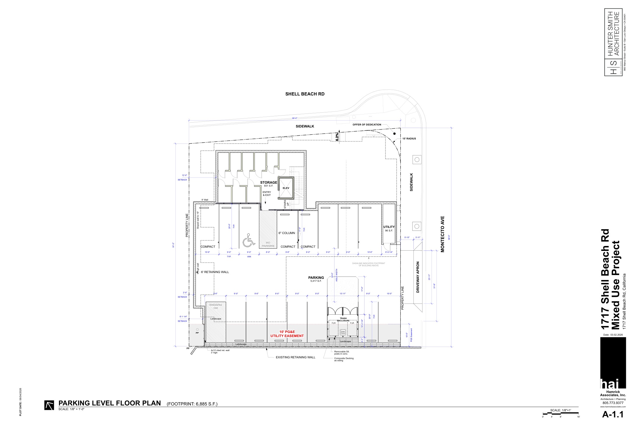
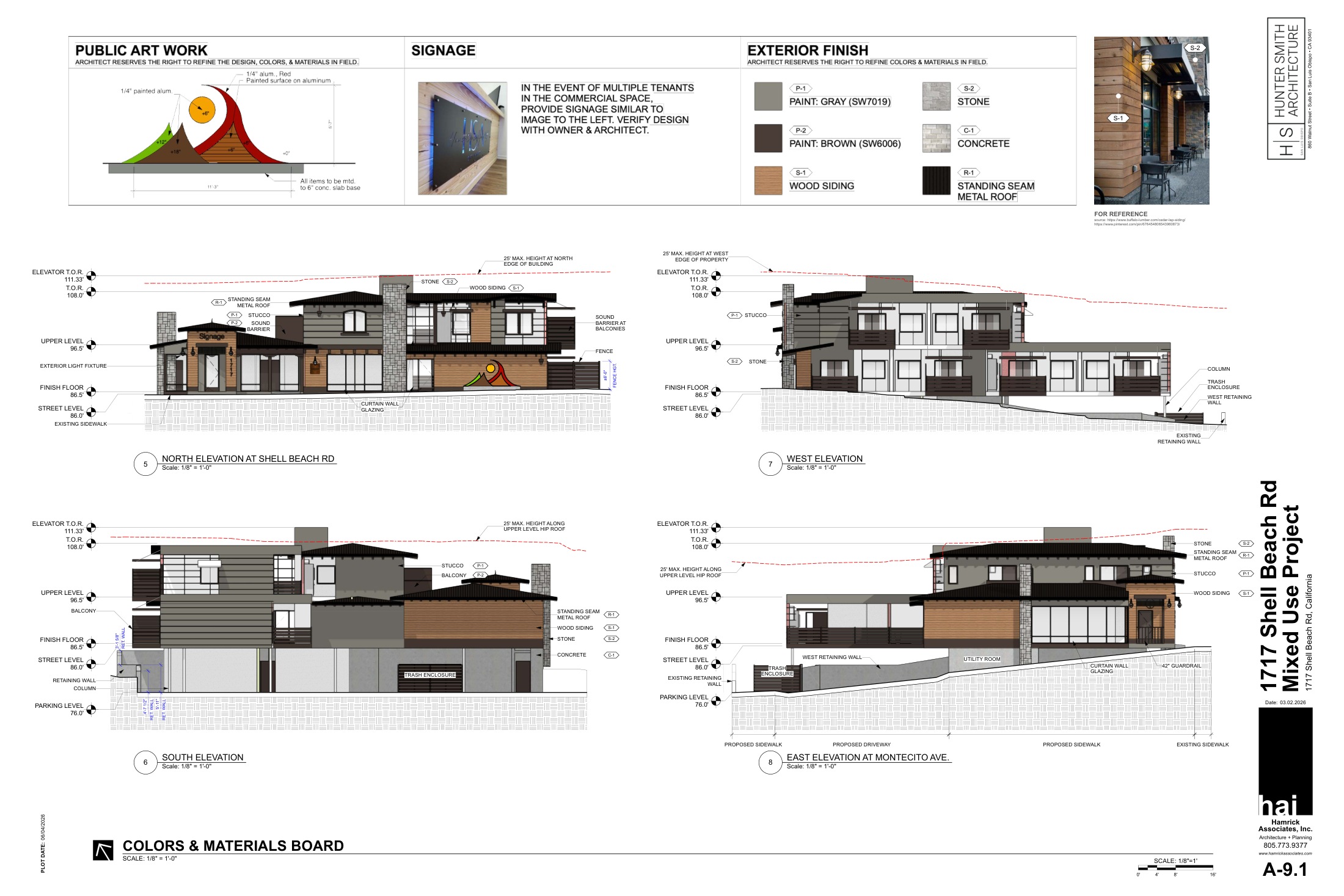
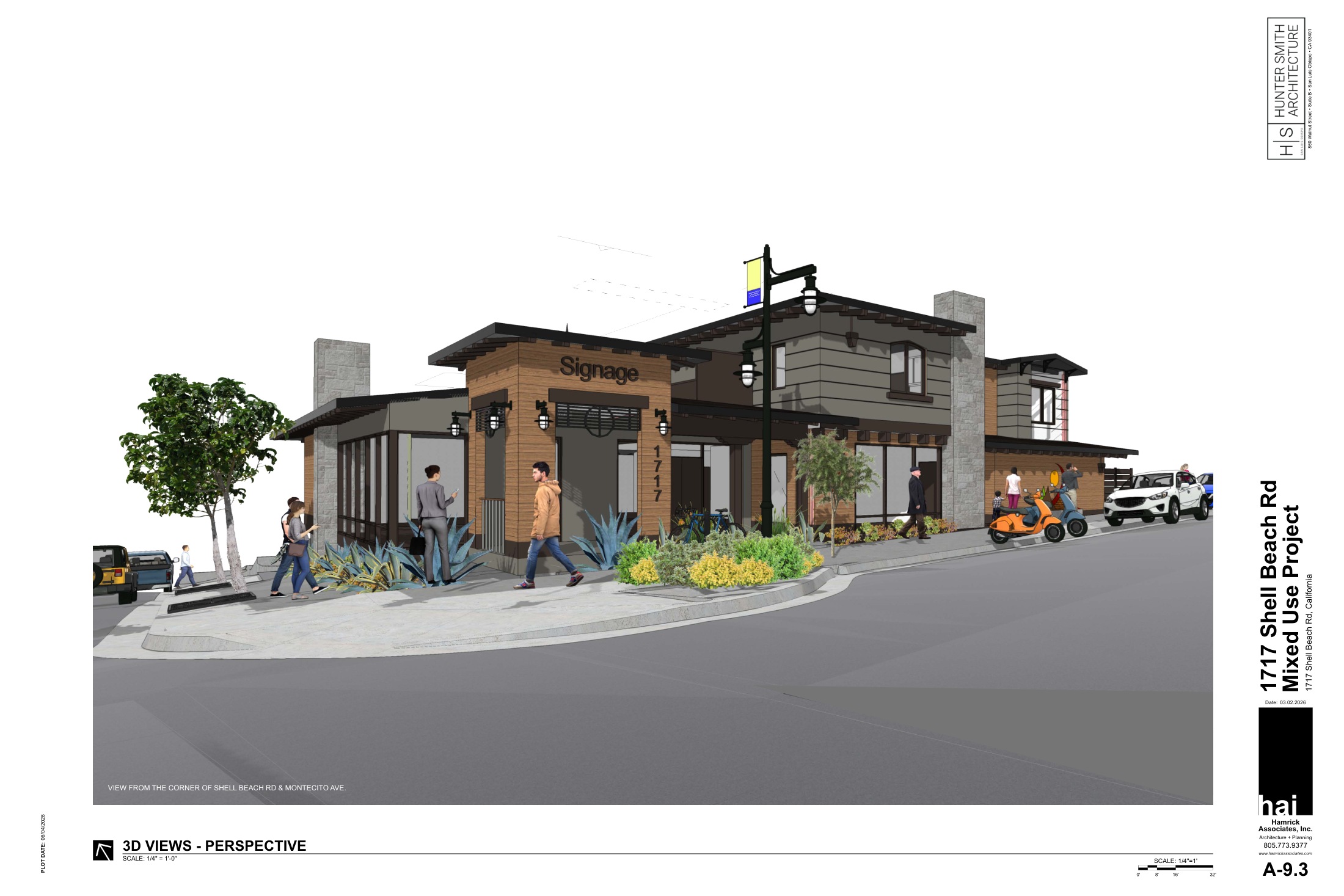
Two commercial condominiums totaling about 2,086 square feet and seven residential studio condominiums, plus one ADU. Density-bonus project with nine airspace condominium lots and a common lot.
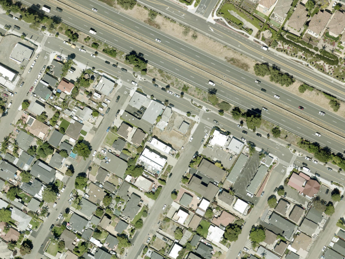
The proposed building/use program above identifies the physical scale currently documented. The aerial shows surrounding streets and existing development, but does not show the future design.
A current approved layout, elevations and site-specific traffic/operations analysis are needed to quantify effects beyond the described program. Missing visuals are flagged rather than replaced with an invented rendering.
Supporting source. Interpretation of the documented program, not a new traffic, shadow, noise, view or property-value study.
Parking / footprint plan. Parking / footprint plan, PDF page 55. Published application drawing or agency exhibit. Design and revision dates remain visible on the original sheet. June 9, 2026 Original source · Full sheet / image · Zoom in atlasElevations. Elevations, PDF page 61. Published application drawing or agency exhibit. Design and revision dates remain visible on the original sheet. June 9, 2026 Original source · Full sheet / image · Zoom in atlasRendering. Rendering, PDF page 63. Published application drawing or agency exhibit. Design and revision dates remain visible on the original sheet. June 9, 2026 Original source · Full sheet / image · Zoom in atlas
Base source date: June 9, 2026. Additional evidence dates appear under Sources. Research cutoff: November 3, 2026.
Audit note: Project facts expanded from staff report and plans.
Minutes reviewed are draft minutes reproduced in a later agenda packet. Signed final resolution, appeal outcome, permit effectiveness and current building activity were not independently confirmed.
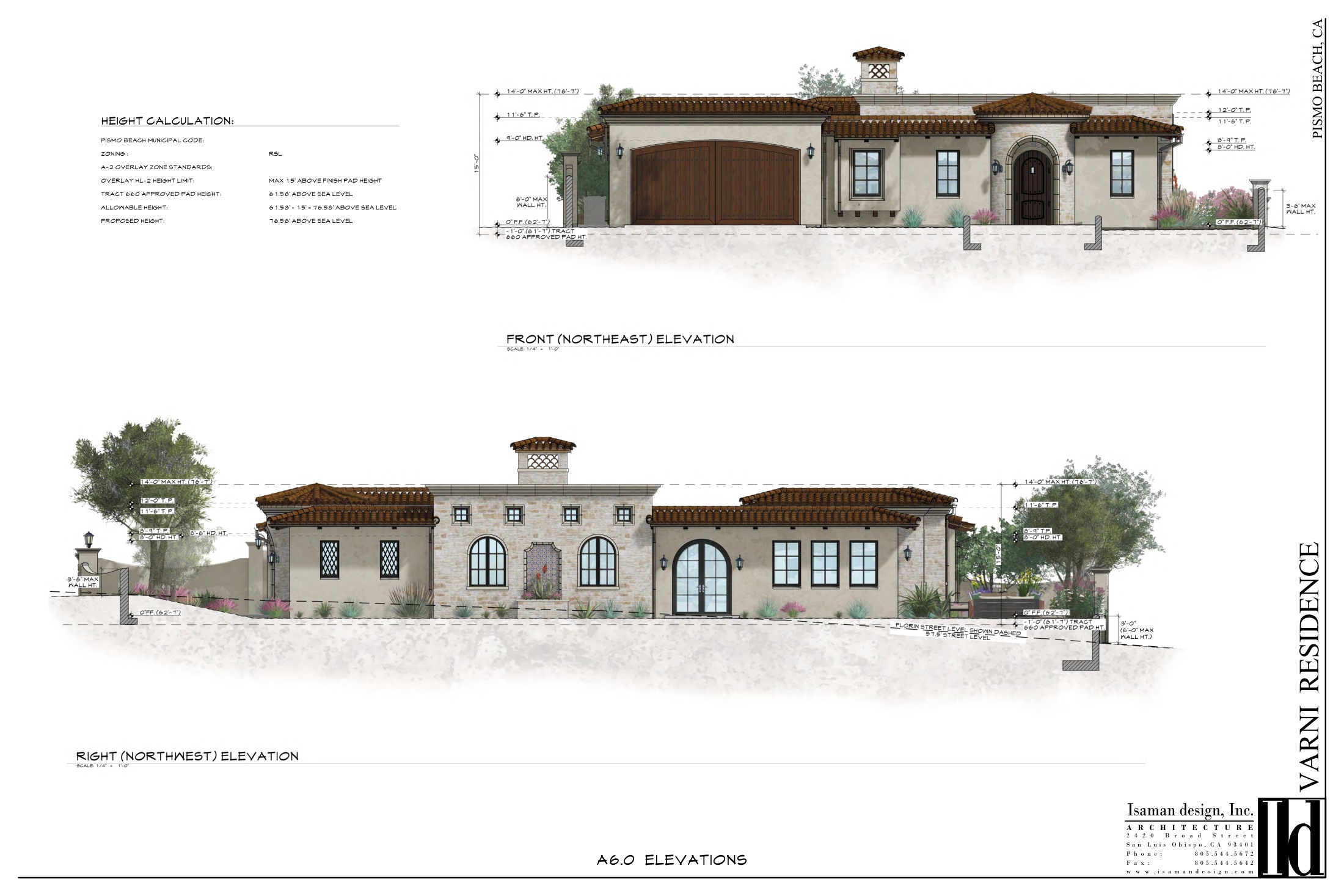
The application introduces or replaces a home on an individual lot. The site plan shows placement, while elevations and renderings explain height, roof form and street appearance.
The published program is summarized above. A basement or second floor adds floor area without the same increase in ground coverage. The images do not quantify lost private views, shadow duration, construction noise or changes in property values.
Supporting source. Interpretation of the documented program, not a new traffic, shadow, noise, view or property-value study.
Rendering. Rendering, PDF page 29. Published application drawing or agency exhibit. Design and revision dates remain visible on the original sheet. January 13, 2026 Original source · Full sheet / image · Zoom in atlasUtility / site plan. Preliminary utility and building placement plan from the application. Final service routing may differ. January 13, 2026 Original source · Full sheet / image · Zoom in atlasElevations. Elevations, PDF page 40. Published application drawing or agency exhibit. Design and revision dates remain visible on the original sheet. January 13, 2026 Original source · Full sheet / image · Zoom in atlas
Base source date: January 13, 2026. Additional evidence dates appear under Sources. Research cutoff: November 3, 2026.
Audit note: Project facts expanded from staff report and plans.
Minutes reviewed are draft minutes reproduced in a later agenda packet. Signed final resolution, appeal outcome, permit effectiveness and current building activity were not independently confirmed.
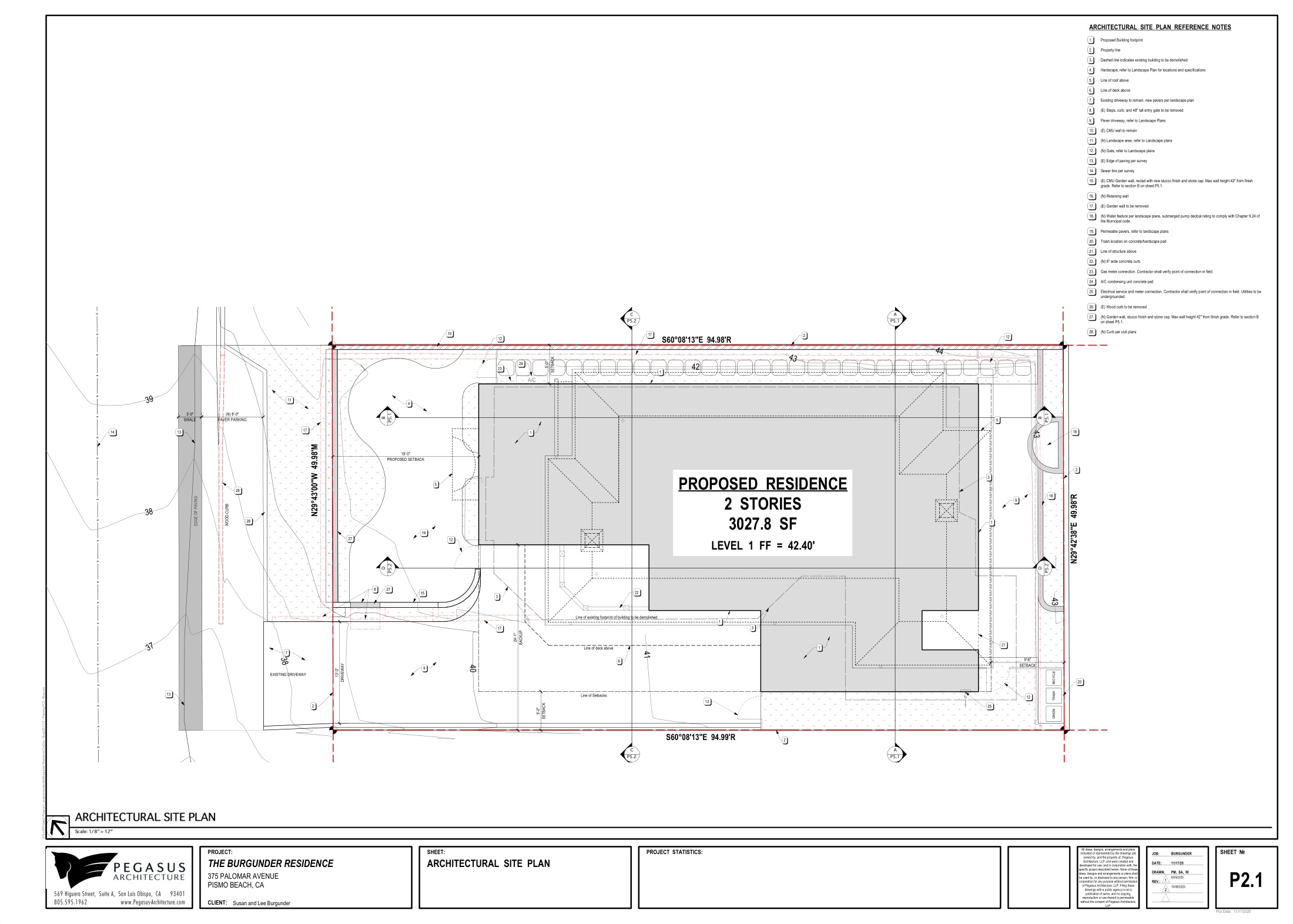
The application changes an existing residential lot. Compare the site plan with the elevations to distinguish added upper-floor mass and decks from the ground-level footprint.
The published program is summarized above. A basement or second floor adds floor area without the same increase in ground coverage. The images do not quantify lost private views, shadow duration, construction noise or changes in property values.
Supporting source. Interpretation of the documented program, not a new traffic, shadow, noise, view or property-value study.
Site plan / project data. Site plan / project data, PDF page 33. Published application drawing or agency exhibit. Design and revision dates remain visible on the original sheet. February 10, 2026 Original source · Full sheet / image · Zoom in atlasElevations. Elevations, PDF page 38. Published application drawing or agency exhibit. Design and revision dates remain visible on the original sheet. February 10, 2026 Original source · Full sheet / image · Zoom in atlas
Base source date: February 10, 2026. Additional evidence dates appear under Sources. Research cutoff: November 3, 2026.
Audit note: Project facts expanded from staff report and plans.
Minutes reviewed are draft minutes reproduced in a later agenda packet. Signed final resolution, appeal outcome, permit effectiveness and current building activity were not independently confirmed.
The application changes an existing residential lot. Compare the site plan with the elevations to distinguish added upper-floor mass and decks from the ground-level footprint.
The published program is summarized above. A basement or second floor adds floor area without the same increase in ground coverage. The images do not quantify lost private views, shadow duration, construction noise or changes in property values.
Supporting source. Interpretation of the documented program, not a new traffic, shadow, noise, view or property-value study.
Site plan. Site plan, PDF page 40. Published application drawing or agency exhibit. Design and revision dates remain visible on the original sheet. February 10, 2026 Original source · Full sheet / image · Zoom in atlasVisual simulation. Visual simulation, PDF page 46. Published application drawing or agency exhibit. Design and revision dates remain visible on the original sheet. February 10, 2026 Original source · Full sheet / image · Zoom in atlas
Base source date: February 10, 2026. Additional evidence dates appear under Sources. Research cutoff: November 3, 2026.
Audit note: Project facts expanded from staff report and plans.
Minutes reviewed are draft minutes reproduced in a later agenda packet. Signed final resolution, appeal outcome, permit effectiveness and current building activity were not independently confirmed.
The application introduces or replaces a home on an individual lot. The site plan shows placement, while elevations and renderings explain height, roof form and street appearance.
The published program is summarized above. A basement or second floor adds floor area without the same increase in ground coverage. The images do not quantify lost private views, shadow duration, construction noise or changes in property values.
Supporting source. Interpretation of the documented program, not a new traffic, shadow, noise, view or property-value study.
Site plan. Site plan, PDF page 33. Published application drawing or agency exhibit. Design and revision dates remain visible on the original sheet. May 12, 2026 Original source · Full sheet / image · Zoom in atlasRendering. Rendering, PDF page 26. Published application drawing or agency exhibit. Design and revision dates remain visible on the original sheet. May 12, 2026 Original source · Full sheet / image · Zoom in atlasElevations. Elevations, PDF page 37. Published application drawing or agency exhibit. Design and revision dates remain visible on the original sheet. May 12, 2026 Original source · Full sheet / image · Zoom in atlas
Base source date: May 12, 2026. Additional evidence dates appear under Sources. Research cutoff: November 3, 2026.
Audit note: Project facts expanded from staff report and plans.
Staff report and recommendation reviewed. A matching final action, appeal outcome, building permit and current construction activity were not verified.
The application changes an existing residential lot. Compare the site plan with the elevations to distinguish added upper-floor mass and decks from the ground-level footprint.
The published program is summarized above. A basement or second floor adds floor area without the same increase in ground coverage. The images do not quantify lost private views, shadow duration, construction noise or changes in property values.
Supporting source. Interpretation of the documented program, not a new traffic, shadow, noise, view or property-value study.
Site plan. Site plan, PDF page 35. Published application drawing or agency exhibit. Design and revision dates remain visible on the original sheet. June 23, 2026 Original source · Full sheet / image · Zoom in atlasElevation. Elevation, PDF page 34. Published application drawing or agency exhibit. Design and revision dates remain visible on the original sheet. June 23, 2026 Original source · Full sheet / image · Zoom in atlasExisting / proposed elevations. Existing / proposed elevations, PDF page 37. Published application drawing or agency exhibit. Design and revision dates remain visible on the original sheet. June 23, 2026 Original source · Full sheet / image · Zoom in atlas
Base source date: June 23, 2026. Additional evidence dates appear under Sources. Research cutoff: November 3, 2026.
Audit note: Project facts expanded from staff report and plans.
Minutes reviewed are draft minutes reproduced in a later agenda packet. Signed final resolution, appeal outcome, permit effectiveness and current building activity were not independently confirmed.
The application introduces or replaces a home on an individual lot. The site plan shows placement, while elevations and renderings explain height, roof form and street appearance.
The published program is summarized above. A basement or second floor adds floor area without the same increase in ground coverage. The images do not quantify lost private views, shadow duration, construction noise or changes in property values.
Supporting source. Interpretation of the documented program, not a new traffic, shadow, noise, view or property-value study.
Site plan. Site plan, PDF page 29. Published application drawing or agency exhibit. Design and revision dates remain visible on the original sheet. August 11, 2026 Original source · Full sheet / image · Zoom in atlasVisual simulation. Visual simulation, PDF page 35. Published application drawing or agency exhibit. Design and revision dates remain visible on the original sheet. August 11, 2026 Original source · Full sheet / image · Zoom in atlasRendering. Rendering, PDF page 42. Published application drawing or agency exhibit. Design and revision dates remain visible on the original sheet. August 11, 2026 Original source · Full sheet / image · Zoom in atlas
Base source date: August 11, 2026. Additional evidence dates appear under Sources. Research cutoff: November 3, 2026.
Audit note: Project facts expanded from staff report and plans.
Minutes reviewed are draft minutes reproduced in a later agenda packet. Signed final resolution, appeal outcome, permit effectiveness and current building activity were not independently confirmed.
The application changes an existing residential lot. Compare the site plan with the elevations to distinguish added upper-floor mass and decks from the ground-level footprint.
The published program is summarized above. A basement or second floor adds floor area without the same increase in ground coverage. The images do not quantify lost private views, shadow duration, construction noise or changes in property values.
Supporting source. Interpretation of the documented program, not a new traffic, shadow, noise, view or property-value study.
Site plan. Site plan, PDF page 22. Published application drawing or agency exhibit. Design and revision dates remain visible on the original sheet. August 25, 2026 Original source · Full sheet / image · Zoom in atlasElevation. Elevation, PDF page 27. Published application drawing or agency exhibit. Design and revision dates remain visible on the original sheet. August 25, 2026 Original source · Full sheet / image · Zoom in atlas
Base source date: August 25, 2026. Additional evidence dates appear under Sources. Research cutoff: November 3, 2026.
Audit note: Project facts expanded from staff report and plans.
Minutes reviewed are draft minutes reproduced in a later agenda packet. Signed final resolution, appeal outcome, permit effectiveness and current building activity were not independently confirmed.
The application changes an existing residential lot. Compare the site plan with the elevations to distinguish added upper-floor mass and decks from the ground-level footprint.
The published program is summarized above. A basement or second floor adds floor area without the same increase in ground coverage. The images do not quantify lost private views, shadow duration, construction noise or changes in property values.
Supporting source. Interpretation of the documented program, not a new traffic, shadow, noise, view or property-value study.
Site plan. Site plan, PDF page 26. Published application drawing or agency exhibit. Design and revision dates remain visible on the original sheet. October 13, 2026 Original source · Full sheet / image · Zoom in atlasRendering. Rendering, PDF page 30. Published application drawing or agency exhibit. Design and revision dates remain visible on the original sheet. October 13, 2026 Original source · Full sheet / image · Zoom in atlas
Base source date: October 13, 2026. Additional evidence dates appear under Sources. Research cutoff: November 3, 2026.
Audit note: Project facts expanded from staff report and plans.
Minutes reviewed are draft minutes reproduced in a later agenda packet. Signed final resolution, appeal outcome, permit effectiveness and current building activity were not independently confirmed.
The application changes an existing residential lot. Compare the site plan with the elevations to distinguish added upper-floor mass and decks from the ground-level footprint.
The published program is summarized above. A basement or second floor adds floor area without the same increase in ground coverage. The images do not quantify lost private views, shadow duration, construction noise or changes in property values.
Supporting source. Interpretation of the documented program, not a new traffic, shadow, noise, view or property-value study.
Site plan and elevations. Site plan and elevations, PDF page 31. Published application drawing or agency exhibit. Design and revision dates remain visible on the original sheet. February 11, 2025 Original source · Full sheet / image · Zoom in atlasColor elevation. Color elevation, PDF page 33. Published application drawing or agency exhibit. Design and revision dates remain visible on the original sheet. February 11, 2025 Original source · Full sheet / image · Zoom in atlas
Base source date: February 11, 2025. Additional evidence dates appear under Sources. Research cutoff: November 3, 2026.
Audit note: Project facts expanded from staff report and plans.
Staff report and recommendation reviewed. A matching final action, appeal outcome, building permit and current construction activity were not verified.
The application introduces or replaces a home on an individual lot. The site plan shows placement, while elevations and renderings explain height, roof form and street appearance.
The published program is summarized above. A basement or second floor adds floor area without the same increase in ground coverage. The images do not quantify lost private views, shadow duration, construction noise or changes in property values.
Supporting source. Interpretation of the documented program, not a new traffic, shadow, noise, view or property-value study.
Site plan. Site plan, PDF page 34. Published application drawing or agency exhibit. Design and revision dates remain visible on the original sheet. April 8, 2025 Original source · Full sheet / image · Zoom in atlasRendering. Rendering, PDF page 41. Published application drawing or agency exhibit. Design and revision dates remain visible on the original sheet. April 8, 2025 Original source · Full sheet / image · Zoom in atlas
Base source date: April 8, 2025. Additional evidence dates appear under Sources. Research cutoff: November 3, 2026.
Audit note: Project facts expanded from staff report and plans.
Staff report and recommendation reviewed. A matching final action, appeal outcome, building permit and current construction activity were not verified.
Ocean Boulevard and Cliff coastal trail protection
Cliff Avenue and Ocean Boulevard, Pismo Beach, CA
PC approval recorded / permits unverified Public works / infrastructure · Jurisdiction: Pismo Beach
Public trail, street and utility protection: sidewalks and railings, trail relocation around a sea cave, a 1,800-square-foot bluff wall, 14 tiebacks, 16 drilled piers and storm-drain repairs.
Trail relocation, retaining structures and storm-drain repairs protect a constrained bluff edge and street utilities. The section drawing is essential for understanding below-grade anchors and piers that are invisible in an aerial photograph.
The reviewed scope includes a 1,800-square-foot bluff wall, 14 tiebacks and 16 drilled piers. Public access, coastal appearance and construction staging deserve separate review.
Supporting source. Interpretation of the documented program, not a new traffic, shadow, noise, view or property-value study.
Improvement plan. Improvement plan, PDF page 24. Published application drawing or agency exhibit. Design and revision dates remain visible on the original sheet. May 27, 2025 Original source · Full sheet / image · Zoom in atlasEngineering section. Engineering section, PDF page 25. Published application drawing or agency exhibit. Design and revision dates remain visible on the original sheet. May 27, 2025 Original source · Full sheet / image · Zoom in atlasSite photo. Site photo, PDF page 19. Published application drawing or agency exhibit. Design and revision dates remain visible on the original sheet. May 27, 2025 Original source · Full sheet / image · Zoom in atlas
Base source date: May 27, 2025. Additional evidence dates appear under Sources. Research cutoff: November 3, 2026.
Audit note: Project facts expanded from staff report and plans.
Minutes reviewed are draft minutes reproduced in a later agenda packet. Signed final resolution, appeal outcome, permit effectiveness and current building activity were not independently confirmed.
Still to verify
Full permit and inspection history
Confirmed construction start and completion
Current total development cost and funding
Verified complete project parcel list
RECORD 131 • Shell Beach
2121 Costa Brava new residence
2121 Costa Brava, Pismo Beach, CA
Planning decision / activity unverified Residential · Jurisdiction: Pismo Beach
New 4,187-square-foot residence with a 1,369-square-foot garage and 2,150-square-foot basement.
The application introduces or replaces a home on an individual lot. The site plan shows placement, while elevations and renderings explain height, roof form and street appearance.
The published program is summarized above. A basement or second floor adds floor area without the same increase in ground coverage. The images do not quantify lost private views, shadow duration, construction noise or changes in property values.
Supporting source. Interpretation of the documented program, not a new traffic, shadow, noise, view or property-value study.
Site plan. Site plan, PDF page 35. Published application drawing or agency exhibit. Design and revision dates remain visible on the original sheet. July 22, 2025 Original source · Full sheet / image · Zoom in atlasVisual simulation. Visual simulation, PDF page 48. Published application drawing or agency exhibit. Design and revision dates remain visible on the original sheet. July 22, 2025 Original source · Full sheet / image · Zoom in atlas
Base source date: July 22, 2025. Additional evidence dates appear under Sources. Research cutoff: November 3, 2026.
Audit note: Project facts expanded from staff report and plans.
Staff report and recommendation reviewed. A matching final action, appeal outcome, building permit and current construction activity were not verified.
PC approval recorded / permits unverified Residential · Jurisdiction: Pismo Beach
Two-year extension for a 5,151-square-foot two-story residence and 796-square-foot garage on a vacant parcel. December 2025 review followed an earlier continued hearing.
The application introduces or replaces a home on an individual lot. The site plan shows placement, while elevations and renderings explain height, roof form and street appearance.
The published program is summarized above. A basement or second floor adds floor area without the same increase in ground coverage. The images do not quantify lost private views, shadow duration, construction noise or changes in property values.
Supporting source. Interpretation of the documented program, not a new traffic, shadow, noise, view or property-value study.
Design images not verified: No reliable proposed-design image was retrieved from the reviewed public material. The aerial and documented program provide context without inventing a future building shape.
Base source date: December 9, 2025. Additional evidence dates appear under Sources. Research cutoff: November 3, 2026.
Audit note: Project facts expanded from staff report and plans.
Minutes reviewed are draft minutes reproduced in a later agenda packet. Signed final resolution, appeal outcome, permit effectiveness and current building activity were not independently confirmed.
The application changes an existing residential lot. Compare the site plan with the elevations to distinguish added upper-floor mass and decks from the ground-level footprint.
The published program is summarized above. A basement or second floor adds floor area without the same increase in ground coverage. The images do not quantify lost private views, shadow duration, construction noise or changes in property values.
Supporting source. Interpretation of the documented program, not a new traffic, shadow, noise, view or property-value study.
Site plan. Site plan, PDF page 35. Published application drawing or agency exhibit. Design and revision dates remain visible on the original sheet. September 9, 2025 Original source · Full sheet / image · Zoom in atlasRendering. Rendering, PDF page 46. Published application drawing or agency exhibit. Design and revision dates remain visible on the original sheet. September 9, 2025 Original source · Full sheet / image · Zoom in atlas
Base source date: September 9, 2025. Additional evidence dates appear under Sources. Research cutoff: November 3, 2026.
Audit note: Project facts expanded from staff report and plans.
Minutes reviewed are draft minutes reproduced in a later agenda packet. Signed final resolution, appeal outcome, permit effectiveness and current building activity were not independently confirmed.
The application introduces or replaces a home on an individual lot. The site plan shows placement, while elevations and renderings explain height, roof form and street appearance.
The published program is summarized above. A basement or second floor adds floor area without the same increase in ground coverage. The images do not quantify lost private views, shadow duration, construction noise or changes in property values.
Supporting source. Interpretation of the documented program, not a new traffic, shadow, noise, view or property-value study.
Site plan. Site plan, PDF page 33. Published application drawing or agency exhibit. Design and revision dates remain visible on the original sheet. September 23, 2025 Original source · Full sheet / image · Zoom in atlasRendering. Rendering, PDF page 26. Published application drawing or agency exhibit. Design and revision dates remain visible on the original sheet. September 23, 2025 Original source · Full sheet / image · Zoom in atlasElevations. Elevations, PDF page 35. Published application drawing or agency exhibit. Design and revision dates remain visible on the original sheet. September 23, 2025 Original source · Full sheet / image · Zoom in atlas
Base source date: September 23, 2025. Additional evidence dates appear under Sources. Research cutoff: November 3, 2026.
Audit note: Project facts expanded from staff report and plans.
Staff report and recommendation reviewed. A matching final action, appeal outcome, building permit and current construction activity were not verified.
PC approval recorded / permits unverified Education / civic / culture · Jurisdiction: Pismo Beach
Replace six portable buildings with two permanent buildings containing six classrooms, two bathrooms, a custodian closet and an IT data room. Separate from the 2026 second phase.
Two permanent classroom buildings replace six portable buildings in the first phase. This changes the school building arrangement and quality of facilities within the campus.
This is separate from the later six-classroom replacement in phase two. Enrollment growth cannot be inferred from replacement classroom counts.
Supporting source. Interpretation of the documented program, not a new traffic, shadow, noise, view or property-value study.
Design images not verified: No reliable proposed-design image was retrieved from the reviewed public material. The aerial and documented program provide context without inventing a future building shape.
Base source date: May 13, 2025. Additional evidence dates appear under Sources. Research cutoff: November 3, 2026.
The application introduces or replaces a home on an individual lot. The site plan shows placement, while elevations and renderings explain height, roof form and street appearance.
The published program is summarized above. A basement or second floor adds floor area without the same increase in ground coverage. The images do not quantify lost private views, shadow duration, construction noise or changes in property values.
Supporting source. Interpretation of the documented program, not a new traffic, shadow, noise, view or property-value study.
Site plan. Site plan, PDF page 39. Published application drawing or agency exhibit. Design and revision dates remain visible on the original sheet. December 9, 2025 Original source · Full sheet / image · Zoom in atlasRendering. Rendering, PDF page 37. Published application drawing or agency exhibit. Design and revision dates remain visible on the original sheet. December 9, 2025 Original source · Full sheet / image · Zoom in atlas
Base source date: December 9, 2025. Additional evidence dates appear under Sources. Research cutoff: November 3, 2026.
Map and parcel evidence
Address geocode; representative point, not a survey. Coordinates: 35.154779, -120.675203.
APNs named in a project source: 010-243-002. Gold map shading shows those assessor parcels, which may extend beyond the work area.
Geocoder match: 375 Palomar Ave, Pismo Beach, California, 93449. An address match does not establish the extent of a development.
Published project contacts
No project-specific contact was verified in the reviewed material. Use the responsible agency and application reference where available.
The application changes an existing residential lot. Compare the site plan with the elevations to distinguish added upper-floor mass and decks from the ground-level footprint.
The published program is summarized above. A basement or second floor adds floor area without the same increase in ground coverage. The images do not quantify lost private views, shadow duration, construction noise or changes in property values.
Supporting source. Interpretation of the documented program, not a new traffic, shadow, noise, view or property-value study.
Existing / proposed site plan. Existing / proposed site plan, PDF page 37. Published application drawing or agency exhibit. Design and revision dates remain visible on the original sheet. December 9, 2025 Original source · Full sheet / image · Zoom in atlasRenderings. Renderings, PDF page 41. Published application drawing or agency exhibit. Design and revision dates remain visible on the original sheet. December 9, 2025 Original source · Full sheet / image · Zoom in atlas
Base source date: December 9, 2025. Additional evidence dates appear under Sources. Research cutoff: November 3, 2026.
Map and parcel evidence
Address geocode; representative point, not a survey. Coordinates: 35.154730, -120.670370.
APNs named in a project source: 010-371-020. Gold map shading shows those assessor parcels, which may extend beyond the work area.
Geocoder match: 246 Windward Ave, Pismo Beach, California, 93449. An address match does not establish the extent of a development.
Published project contacts
No project-specific contact was verified in the reviewed material. Use the responsible agency and application reference where available.
The proposal adds or changes residential space at the mapped location. The stated dwelling count describes housing capacity; it is not a forecast of population, parking spillover or traffic.
A verified current architectural image or complete footprint is unavailable unless shown in the gallery. Final height, access, grading and construction sequencing need the approved plans.
Supporting source. Interpretation of the documented program, not a new traffic, shadow, noise, view or property-value study.
Design images not verified: No reliable proposed-design image was retrieved from the reviewed public material. The aerial and documented program provide context without inventing a future building shape.
Base source date: January 7, 2025. Additional evidence dates appear under Sources. Research cutoff: November 3, 2026.
Audit note: CEQA exemption filing found. Construction status not verified. Point represents intersection near the dead-end site.
Map and parcel evidence
Address/intersection geocode; approximate point, not parcel or project extent. Coordinates: 35.102372, -120.609906.
No complete project parcel list was verified. Nearby parcel lines are context only.
Geocoder match: 20th St & Warner St, Oceano, California, 93445. An address match does not establish the extent of a development.
Published project contacts
No project-specific contact was verified in the reviewed material. Use the responsible agency and application reference where available.
The proposed building/use program above identifies the physical scale currently documented. The aerial shows surrounding streets and existing development, but does not show the future design.
A current approved layout, elevations and site-specific traffic/operations analysis are needed to quantify effects beyond the described program. Missing visuals are flagged rather than replaced with an invented rendering.
Supporting source. Interpretation of the documented program, not a new traffic, shadow, noise, view or property-value study.
Design images not verified: No reliable proposed-design image was retrieved from the reviewed public material. The aerial and documented program provide context without inventing a future building shape.
Base source date: September 15, 2026. Additional evidence dates appear under Sources. Research cutoff: November 3, 2026.
Audit note: Notice of Determination. Construction anticipated as early as summer 2027 for about 12 months. Multi-site project represented by published location.
Map and parcel evidence
Published CEQAnet project location; indicative point, not project extent. Coordinates: 35.104722, -120.591694.
No complete project parcel list was verified. Nearby parcel lines are context only.
Published project contacts
No project-specific contact was verified in the reviewed material. Use the responsible agency and application reference where available.
A 27-home apartment proposal occupies an approximately 1.79-acre site near Oceano Airport. The 2022 site plan shows building rows and a central parking/circulation area; the companion perspectives show the proposed exterior massing.
The 2022 review places the site in airport land-use area TP-2 and a 65 dB single-event contour. That is an aircraft-event noise descriptor, not a claim that everyday ambient sound is constantly 65 dB.
Supporting source. Interpretation of the documented program, not a new traffic, shadow, noise, view or property-value study.
Site plan. Site layout from the 2022 airport consistency review. The empty vicinity-map heading is part of the source sheet. Viewing image is cropped from the full sheet, linked below. Airport Land Use Commission packet: September 21, 2022 Original source · Full sheet / image · Zoom in atlasRendering. Two published building perspectives from the 2022 proposal. Viewing image is cropped from the full sheet, linked below. Airport Land Use Commission packet: September 21, 2022 Original source · Full sheet / image · Zoom in atlasAirport land-use map. Airport land-use planning areas. This is a compatibility map, not a building elevation. Airport Land Use Commission packet: September 21, 2022 Original source · Full sheet / image · Zoom in atlasAirport noise map. Single-event aircraft noise contours from the 2022 review. These do not describe constant ambient noise. Airport Land Use Commission packet: September 21, 2022 Original source · Full sheet / image · Zoom in atlas
Base source date: September 21, 2022. Additional evidence dates appear under Sources. Research cutoff: November 3, 2026.
Audit note: Older proposal. Airport land-use review verified; continued activity, entitlement and construction status in 2026 not verified.
Map and parcel evidence
Address/intersection geocode; approximate point, not parcel or project extent. Coordinates: 35.104436, -120.617109.
No complete project parcel list was verified. Nearby parcel lines are context only.
Geocoder match: 1273 Belridge St, Oceano, California, 93445. An address match does not establish the extent of a development.
Published project contacts
No project-specific contact was verified in the reviewed material. Use the responsible agency and application reference where available.
Public project / design Public works / infrastructure · Jurisdiction: San Luis Obispo County
New pavement, striping and curb ramps on Pier Avenue in Oceano. Grind and overlay of new pavement. Striping will be updated to match the Pier Avenue Corridor Plan. Flashing beacon at the unsignalized crossing of Air Park Dr, buffered bike lanes throughout Pier Avenue. Curb ramps will be upgraded to meet ADA requirements.
The proposed building/use program above identifies the physical scale currently documented. The aerial shows surrounding streets and existing development, but does not show the future design.
A current approved layout, elevations and site-specific traffic/operations analysis are needed to quantify effects beyond the described program. Missing visuals are flagged rather than replaced with an invented rendering.
Supporting source. Interpretation of the documented program, not a new traffic, shadow, noise, view or property-value study.
Design images not verified: No reliable proposed-design image was retrieved from the reviewed public material. The aerial and documented program provide context without inventing a future building shape.
Base source date: FY 2026-27 capital program. Additional evidence dates appear under Sources. Research cutoff: November 3, 2026.
Audit note: Draft corridor plan, not a construction authorization. Representative corridor point.
A capital-program allocation is not a construction contract or assurance of full funding. Location marks the facility, not each improvement or project boundary.
Still to verify
Full permit and inspection history
Confirmed construction start and completion
Final awarded cost and confirmed funding
Verified complete project parcel list
RECORD 105 • Oceano
Oceano Airport: Install Miscellaneous Navaids Design & Construct, PPD01
561 Airpark Drive, Oceano, CA
Capital plan / funding pending Public works / infrastructure · Jurisdiction: San Luis Obispo County
Relocate the segmented circle and lighted wind cone to enhance safety by improving the visibility of the wind cone for pilots taking off to the northwest, which is the predominant direction of operations at the airport. The project also includes extension of the service vehicle road to the facilities and an extension of electrical power from the new electrical vault.
The scope described above changes existing public facilities or infrastructure. The representative point identifies the work vicinity; it does not establish the full alignment, temporary work zone or easement.
The reviewed scope and budget status should be checked against final drawings and construction notices. A capital-plan entry alone does not establish an award, lane closure or completed improvement.
Supporting source. Interpretation of the documented program, not a new traffic, shadow, noise, view or property-value study.
Design images not verified: No reliable proposed-design image was retrieved from the reviewed public material. The aerial and documented program provide context without inventing a future building shape.
Base source date: FY 2026-27 capital program. Additional evidence dates appear under Sources. Research cutoff: November 3, 2026.
A capital-program allocation is not a construction contract or assurance of full funding. Location marks the facility, not each improvement or project boundary.
Still to verify
Full permit and inspection history
Confirmed construction start and completion
Final awarded cost and confirmed funding
Verified complete project parcel list
RECORD 107 • Oceano
Oceano Airport: Install Electrical Vault and Runway 11-29 Lighting Improvements
561 Airpark Drive, Oceano, CA
Capital plan / funding pending Public works / infrastructure · Jurisdiction: San Luis Obispo County
Install a new electrical vault and generator that will provide electrical service to the airfield lighting systems, airport beacon and segmented circle. Replace the existing medium intensity runway edge lighting with LED lighting.
The scope described above changes existing public facilities or infrastructure. The representative point identifies the work vicinity; it does not establish the full alignment, temporary work zone or easement.
The reviewed scope and budget status should be checked against final drawings and construction notices. A capital-plan entry alone does not establish an award, lane closure or completed improvement.
Supporting source. Interpretation of the documented program, not a new traffic, shadow, noise, view or property-value study.
Design images not verified: No reliable proposed-design image was retrieved from the reviewed public material. The aerial and documented program provide context without inventing a future building shape.
Base source date: FY 2026-27 capital program. Additional evidence dates appear under Sources. Research cutoff: November 3, 2026.
A capital-program allocation is not a construction contract or assurance of full funding. Location marks the facility, not each improvement or project boundary.
Still to verify
Full permit and inspection history
Confirmed construction start and completion
Final awarded cost and confirmed funding
Verified complete project parcel list
RECORD 115 • Oceano
Coastal Dunes RV Park Electrical Repairs, PPD12
1001 Pacific Blvd., Oceano, CA
Capital plan / funding pending Public works / infrastructure · Jurisdiction: San Luis Obispo County
Replace electrical infrastructure throughout Coastal Dunes Recreational Vehicle Park.
The scope described above changes existing public facilities or infrastructure. The representative point identifies the work vicinity; it does not establish the full alignment, temporary work zone or easement.
The reviewed scope and budget status should be checked against final drawings and construction notices. A capital-plan entry alone does not establish an award, lane closure or completed improvement.
Supporting source. Interpretation of the documented program, not a new traffic, shadow, noise, view or property-value study.
Design images not verified: No reliable proposed-design image was retrieved from the reviewed public material. The aerial and documented program provide context without inventing a future building shape.
Base source date: FY 2026-27 capital program. Additional evidence dates appear under Sources. Research cutoff: November 3, 2026.
A capital-program allocation is not a construction contract or assurance of full funding. Location marks the facility, not each improvement or project boundary.
Still to verify
Full permit and inspection history
Confirmed construction start and completion
Final awarded cost and confirmed funding
Verified complete project parcel list
RECORD 116 • Oceano
Demolish Pool at Coastal Dunes RV Park, PPD12
1001 Pacific Blvd, Oceano, CA
Capital plan / funding pending Public works / infrastructure · Jurisdiction: San Luis Obispo County
The scope described above changes existing public facilities or infrastructure. The representative point identifies the work vicinity; it does not establish the full alignment, temporary work zone or easement.
The reviewed scope and budget status should be checked against final drawings and construction notices. A capital-plan entry alone does not establish an award, lane closure or completed improvement.
Supporting source. Interpretation of the documented program, not a new traffic, shadow, noise, view or property-value study.
Design images not verified: No reliable proposed-design image was retrieved from the reviewed public material. The aerial and documented program provide context without inventing a future building shape.
Base source date: FY 2026-27 capital program. Additional evidence dates appear under Sources. Research cutoff: November 3, 2026.
A capital-program allocation is not a construction contract or assurance of full funding. Location marks the facility, not each improvement or project boundary.
Still to verify
Full permit and inspection history
Confirmed construction start and completion
Final awarded cost and confirmed funding
Verified complete project parcel list
RECORD 117 • Oceano
Oceano Elementary Pedestrian Improvements
1551 17th Street, Oceano, CA
Capital plan / funding pending Public works / infrastructure · Jurisdiction: San Luis Obispo County
The project will improve pedestrian and bicycle access to Oceano Elementary School by constructing various improvements to close gaps in existing pedestrian facilities.
The scope described above changes existing public facilities or infrastructure. The representative point identifies the work vicinity; it does not establish the full alignment, temporary work zone or easement.
The reviewed scope and budget status should be checked against final drawings and construction notices. A capital-plan entry alone does not establish an award, lane closure or completed improvement.
Supporting source. Interpretation of the documented program, not a new traffic, shadow, noise, view or property-value study.
Design images not verified: No reliable proposed-design image was retrieved from the reviewed public material. The aerial and documented program provide context without inventing a future building shape.
Base source date: FY 2026-27 capital program. Additional evidence dates appear under Sources. Research cutoff: November 3, 2026.
A capital-program allocation is not a construction contract or assurance of full funding. Location marks the facility, not each improvement or project boundary.
Still to verify
Full permit and inspection history
Confirmed construction start and completion
Final awarded cost and confirmed funding
Verified complete project parcel list
RECORD 140 • Oceano
Oceano sewer upgrades: CIPs A-3, A-4 and A-7
1323 19th Street, Oceano, CA
Environmental exemption filed / procurement listed Public works / infrastructure · Jurisdiction: San Luis Obispo County
Replace existing sewer mains and laterals along portions of Belridge Street, Wilmar Avenue, 19th Street and Nipomo Street. Work remains within road rights of way and does not expand service.
Sewer mains and laterals are replaced along several existing streets. The physical work follows road corridors, so a single point or nearby parcel is an incomplete representation of the work area.
The filing describes about one acre of work and no service expansion. Construction access and localized trenching disruption are the principal near-term effects; final lane-closure schedules were not verified.
Supporting source. Interpretation of the documented program, not a new traffic, shadow, noise, view or property-value study.
Design images not verified: No reliable proposed-design image was retrieved from the reviewed public material. The aerial and documented program provide context without inventing a future building shape.
Base source date: September 15, 2026. Additional evidence dates appear under Sources. Research cutoff: November 3, 2026.
Project details
Other work locations
1830 19th Street and 2160 Nipomo Street are also identified. The map pin represents one location, not the entire alignment. Source
Environmental filing
SCH 2026090586; Class 1 exemption; approximately one acre of work area. Source
Map and parcel evidence
Address geocode; representative location, not the project footprint. Coordinates: 35.105855, -120.610480.
No complete project parcel list was verified. Nearby parcel lines are context only.
Geocoder match: 1323 19th St, Oceano, California, 93445. An address match does not establish the extent of a development.
District page still labels the solicitation open. Award, notice to proceed, actual construction and final cost have not been verified.
Still to verify
Current permit and inspection history
Confirmed completion date
Verified complete project parcel list
RECORD 37 • San Luis Obispo
1042 Olive Street
1042 Olive Street
Building review Mixed use · Jurisdiction: San Luis Obispo
The construction of a mixed-use facility featuring a three-story structure containing commercial spaces, a leasing office, and ten residential units, along with associated site improvements.
The proposed building/use program above identifies the physical scale currently documented. The aerial shows surrounding streets and existing development, but does not show the future design.
A current approved layout, elevations and site-specific traffic/operations analysis are needed to quantify effects beyond the described program. Missing visuals are flagged rather than replaced with an invented rendering.
Supporting source. Interpretation of the documented program, not a new traffic, shadow, noise, view or property-value study.
Design images not verified: No reliable proposed-design image was retrieved from the reviewed public material. The aerial and documented program provide context without inventing a future building shape.
Base source date: September 2026. Additional evidence dates appear under Sources. Research cutoff: November 3, 2026.
Audit note: Stage reported by the city tracker; not independently inspected.
Map and parcel evidence
City-published map point; not a parcel boundary. Coordinates: 35.287340, -120.665110.
No complete project parcel list was verified. Nearby parcel lines are context only.
City tracker stage was not confirmed by an onsite inspection or a complete permit-file review. Completion date and total project cost are not published in the tracker.
Planning review Commercial / industrial · Jurisdiction: San Luis Obispo
The construction of a 9,900-square-foot warehouse facility for dry, cold, and frozen storage, including associated site improvements. The proposed facility would also feature an eight-bay loading dock and outdoor storage areas.
The proposed building/use program above identifies the physical scale currently documented. The aerial shows surrounding streets and existing development, but does not show the future design.
A current approved layout, elevations and site-specific traffic/operations analysis are needed to quantify effects beyond the described program. Missing visuals are flagged rather than replaced with an invented rendering.
Supporting source. Interpretation of the documented program, not a new traffic, shadow, noise, view or property-value study.
Design images not verified: No reliable proposed-design image was retrieved from the reviewed public material. The aerial and documented program provide context without inventing a future building shape.
Base source date: September 2026. Additional evidence dates appear under Sources. Research cutoff: November 3, 2026.
Audit note: Stage reported by the city tracker; not independently inspected.
Map and parcel evidence
City-published map point; not a parcel boundary. Coordinates: 35.238805, -120.634859.
No complete project parcel list was verified. Nearby parcel lines are context only.
City tracker stage was not confirmed by an onsite inspection or a complete permit-file review. Completion date and total project cost are not published in the tracker.
1109 Kendall Rd. & 4805 Morabito Pl., San Luis Obispo, CA
City-listed construction Commercial / industrial · Jurisdiction: San Luis Obispo
The construction of a three-story, 114,368-square-foot personal storage building, a one-story, 24,498-square-foot warehouse, and associated site improvements.
The proposed building/use program above identifies the physical scale currently documented. The aerial shows surrounding streets and existing development, but does not show the future design.
A current approved layout, elevations and site-specific traffic/operations analysis are needed to quantify effects beyond the described program. Missing visuals are flagged rather than replaced with an invented rendering.
Supporting source. Interpretation of the documented program, not a new traffic, shadow, noise, view or property-value study.
Design images not verified: No reliable proposed-design image was retrieved from the reviewed public material. The aerial and documented program provide context without inventing a future building shape.
Base source date: September 2026. Additional evidence dates appear under Sources. Research cutoff: November 3, 2026.
Audit note: Stage reported by the city tracker; not independently inspected.
Map and parcel evidence
City-published map point; not a parcel boundary. Coordinates: 35.236813, -120.632571.
No complete project parcel list was verified. Nearby parcel lines are context only.
City tracker stage was not confirmed by an onsite inspection or a complete permit-file review. Completion date and total project cost are not published in the tracker.
Approved / preconstruction Mixed use · Jurisdiction: San Luis Obispo
The demolition of existing structures and the development of a mixed-use facility consisting of twelve residential units and two hotel suites, as well as associated site improvements such as access, parking, and landscaping.
The proposed building/use program above identifies the physical scale currently documented. The aerial shows surrounding streets and existing development, but does not show the future design.
A current approved layout, elevations and site-specific traffic/operations analysis are needed to quantify effects beyond the described program. Missing visuals are flagged rather than replaced with an invented rendering.
Supporting source. Interpretation of the documented program, not a new traffic, shadow, noise, view or property-value study.
Design images not verified: No reliable proposed-design image was retrieved from the reviewed public material. The aerial and documented program provide context without inventing a future building shape.
Base source date: September 2026. Additional evidence dates appear under Sources. Research cutoff: November 3, 2026.
Audit note: Stage reported by the city tracker; not independently inspected.
Map and parcel evidence
City-published map point; not a parcel boundary. Coordinates: 35.283712, -120.657831.
No complete project parcel list was verified. Nearby parcel lines are context only.
City tracker stage was not confirmed by an onsite inspection or a complete permit-file review. Completion date and total project cost are not published in the tracker.
City-listed construction Residential · Jurisdiction: San Luis Obispo
Part of the phased 1422 Monterey Street development, Building 1 includes the construction of 45 affordable units and a portion of 4,366 square feet of commercial space.
The proposal adds or changes residential space at the mapped location. The stated dwelling count describes housing capacity; it is not a forecast of population, parking spillover or traffic.
A verified current architectural image or complete footprint is unavailable unless shown in the gallery. Final height, access, grading and construction sequencing need the approved plans.
Supporting source. Interpretation of the documented program, not a new traffic, shadow, noise, view or property-value study.
Design images not verified: No reliable proposed-design image was retrieved from the reviewed public material. The aerial and documented program provide context without inventing a future building shape.
Base source date: September 2026. Additional evidence dates appear under Sources. Research cutoff: November 3, 2026.
Audit note: Stage reported by the city tracker; not independently inspected.
Map and parcel evidence
City-published map point; not a parcel boundary. Coordinates: 35.285755, -120.655556.
No complete project parcel list was verified. Nearby parcel lines are context only.
City tracker stage was not confirmed by an onsite inspection or a complete permit-file review. Completion date and total project cost are not published in the tracker.
Part of the same Monterey Street development. Shared commercial area and project-wide totals must not be summed once per phase. A city annual report indicates family-phase construction starting March 2026, which conflicts with some tracker stages.
Building review Residential · Jurisdiction: San Luis Obispo
Part of the phased 1422 Monterey Street development, Building 2 includes the construction of 55 affordable units and a portion of 4,366 square feet of commercial space.
The proposal adds or changes residential space at the mapped location. The stated dwelling count describes housing capacity; it is not a forecast of population, parking spillover or traffic.
A verified current architectural image or complete footprint is unavailable unless shown in the gallery. Final height, access, grading and construction sequencing need the approved plans.
Supporting source. Interpretation of the documented program, not a new traffic, shadow, noise, view or property-value study.
Design images not verified: No reliable proposed-design image was retrieved from the reviewed public material. The aerial and documented program provide context without inventing a future building shape.
Base source date: September 2026. Additional evidence dates appear under Sources. Research cutoff: November 3, 2026.
Audit note: Stage reported by the city tracker; not independently inspected.
Map and parcel evidence
City-published map point; not a parcel boundary. Coordinates: 35.286046, -120.655025.
No complete project parcel list was verified. Nearby parcel lines are context only.
City tracker stage was not confirmed by an onsite inspection or a complete permit-file review. Completion date and total project cost are not published in the tracker.
Part of the same Monterey Street development. Shared commercial area and project-wide totals must not be summed once per phase. A city annual report indicates family-phase construction starting March 2026, which conflicts with some tracker stages.
The proposal adds or changes residential space at the mapped location. The stated dwelling count describes housing capacity; it is not a forecast of population, parking spillover or traffic.
A verified current architectural image or complete footprint is unavailable unless shown in the gallery. Final height, access, grading and construction sequencing need the approved plans.
Supporting source. Interpretation of the documented program, not a new traffic, shadow, noise, view or property-value study.
Design images not verified: No reliable proposed-design image was retrieved from the reviewed public material. The aerial and documented program provide context without inventing a future building shape.
Base source date: September 2026. Additional evidence dates appear under Sources. Research cutoff: November 3, 2026.
Audit note: Stage reported by the city tracker; not independently inspected.
Map and parcel evidence
City-published map point; not a parcel boundary. Coordinates: 35.286258, -120.655633.
No complete project parcel list was verified. Nearby parcel lines are context only.
City tracker stage was not confirmed by an onsite inspection or a complete permit-file review. Completion date and total project cost are not published in the tracker.
Part of the same Monterey Street development. Shared commercial area and project-wide totals must not be summed once per phase. A city annual report indicates family-phase construction starting March 2026, which conflicts with some tracker stages.
Construction / demolition started Residential · Jurisdiction: San Luis Obispo
The demolition of existing structures and the development of four residential structures providing a total of 43 units, as well as associated site improvements such as access, parking, and landscaping.
Demolition and four new residential structures would transform the site. A four-story apartment building holds 29 homes, with 14 more in three townhome buildings.
Forty-three homes are the combined program. Demolition was reported in August 2026; the final built form and occupied date should not be inferred from that start alone.
Supporting source. Interpretation of the documented program, not a new traffic, shadow, noise, view or property-value study.
Design images not verified: No reliable proposed-design image was retrieved from the reviewed public material. The aerial and documented program provide context without inventing a future building shape.
Base source date: September 2026. Additional evidence dates appear under Sources. Research cutoff: November 3, 2026.
Audit note: Builder reports demolition underway on August 12, 2026, while the September city tracker retains building review.
The proposed building/use program above identifies the physical scale currently documented. The aerial shows surrounding streets and existing development, but does not show the future design.
A current approved layout, elevations and site-specific traffic/operations analysis are needed to quantify effects beyond the described program. Missing visuals are flagged rather than replaced with an invented rendering.
Supporting source. Interpretation of the documented program, not a new traffic, shadow, noise, view or property-value study.
Design images not verified: No reliable proposed-design image was retrieved from the reviewed public material. The aerial and documented program provide context without inventing a future building shape.
Base source date: September 2026. Additional evidence dates appear under Sources. Research cutoff: November 3, 2026.
Audit note: Stage reported by the city tracker; not independently inspected.
Map and parcel evidence
City-published map point; not a parcel boundary. Coordinates: 35.264419, -120.647888.
No complete project parcel list was verified. Nearby parcel lines are context only.
City tracker stage was not confirmed by an onsite inspection or a complete permit-file review. Completion date and total project cost are not published in the tracker.
The proposed building/use program above identifies the physical scale currently documented. The aerial shows surrounding streets and existing development, but does not show the future design.
A current approved layout, elevations and site-specific traffic/operations analysis are needed to quantify effects beyond the described program. Missing visuals are flagged rather than replaced with an invented rendering.
Supporting source. Interpretation of the documented program, not a new traffic, shadow, noise, view or property-value study.
Design images not verified: No reliable proposed-design image was retrieved from the reviewed public material. The aerial and documented program provide context without inventing a future building shape.
Base source date: September 2026. Additional evidence dates appear under Sources. Research cutoff: November 3, 2026.
Audit note: Stage reported by the city tracker; not independently inspected.
Map and parcel evidence
City-published map point; not a parcel boundary. Coordinates: 35.264027, -120.648258.
No complete project parcel list was verified. Nearby parcel lines are context only.
City tracker stage was not confirmed by an onsite inspection or a complete permit-file review. Completion date and total project cost are not published in the tracker.
City-listed construction Education / civic / culture · Jurisdiction: San Luis Obispo
Building and site improvements to accommodate the relocation and consolidation of SLOCA students and staff to one site. This includes the remodel of the existing Acacia Creek Business Park with a building addition, tenant improvements, a façade refresh, and the removal of parking to accommodate landscaping for student use.
The proposed building/use program above identifies the physical scale currently documented. The aerial shows surrounding streets and existing development, but does not show the future design.
A current approved layout, elevations and site-specific traffic/operations analysis are needed to quantify effects beyond the described program. Missing visuals are flagged rather than replaced with an invented rendering.
Supporting source. Interpretation of the documented program, not a new traffic, shadow, noise, view or property-value study.
Design images not verified: No reliable proposed-design image was retrieved from the reviewed public material. The aerial and documented program provide context without inventing a future building shape.
Base source date: September 2026. Additional evidence dates appear under Sources. Research cutoff: November 3, 2026.
Audit note: Stage reported by the city tracker; not independently inspected.
Map and parcel evidence
City-published map point; not a parcel boundary. Coordinates: 35.257871, -120.646817.
No complete project parcel list was verified. Nearby parcel lines are context only.
City tracker stage was not confirmed by an onsite inspection or a complete permit-file review. Completion date and total project cost are not published in the tracker.
The proposal adds or changes residential space at the mapped location. The stated dwelling count describes housing capacity; it is not a forecast of population, parking spillover or traffic.
A verified current architectural image or complete footprint is unavailable unless shown in the gallery. Final height, access, grading and construction sequencing need the approved plans.
Supporting source. Interpretation of the documented program, not a new traffic, shadow, noise, view or property-value study.
Design images not verified: No reliable proposed-design image was retrieved from the reviewed public material. The aerial and documented program provide context without inventing a future building shape.
Base source date: September 2026. Additional evidence dates appear under Sources. Research cutoff: November 3, 2026.
Audit note: Stage reported by the city tracker; not independently inspected.
Map and parcel evidence
City-published map point; not a parcel boundary. Coordinates: 35.255894, -120.630709.
No complete project parcel list was verified. Nearby parcel lines are context only.
City tracker stage was not confirmed by an onsite inspection or a complete permit-file review. Completion date and total project cost are not published in the tracker.
The proposal adds or changes residential space at the mapped location. The stated dwelling count describes housing capacity; it is not a forecast of population, parking spillover or traffic.
A verified current architectural image or complete footprint is unavailable unless shown in the gallery. Final height, access, grading and construction sequencing need the approved plans.
Supporting source. Interpretation of the documented program, not a new traffic, shadow, noise, view or property-value study.
Design images not verified: No reliable proposed-design image was retrieved from the reviewed public material. The aerial and documented program provide context without inventing a future building shape.
Base source date: September 2026. Additional evidence dates appear under Sources. Research cutoff: November 3, 2026.
Audit note: Stage reported by the city tracker; not independently inspected.
Map and parcel evidence
City-published map point; not a parcel boundary. Coordinates: 35.273999, -120.666910.
No complete project parcel list was verified. Nearby parcel lines are context only.
City tracker stage was not confirmed by an onsite inspection or a complete permit-file review. Completion date and total project cost are not published in the tracker.
4145-4195 Earthwood Lane | Commercial & Industrial Buildings
4145-4195 Earthwood Lane, San Luis Obispo, CA
Planning review Commercial / industrial · Jurisdiction: San Luis Obispo
The construction of approximately six 3,700-square-foot buildings for commercial and industrial use along with associated shared site improvements within the Airport Area Specific Plan area.
The proposed building/use program above identifies the physical scale currently documented. The aerial shows surrounding streets and existing development, but does not show the future design.
A current approved layout, elevations and site-specific traffic/operations analysis are needed to quantify effects beyond the described program. Missing visuals are flagged rather than replaced with an invented rendering.
Supporting source. Interpretation of the documented program, not a new traffic, shadow, noise, view or property-value study.
Design images not verified: No reliable proposed-design image was retrieved from the reviewed public material. The aerial and documented program provide context without inventing a future building shape.
Base source date: September 2026. Additional evidence dates appear under Sources. Research cutoff: November 3, 2026.
Audit note: Stage reported by the city tracker; not independently inspected.
Map and parcel evidence
City-published map point; not a parcel boundary. Coordinates: 35.242111, -120.670839.
No complete project parcel list was verified. Nearby parcel lines are context only.
City tracker stage was not confirmed by an onsite inspection or a complete permit-file review. Completion date and total project cost are not published in the tracker.
The proposal adds or changes residential space at the mapped location. The stated dwelling count describes housing capacity; it is not a forecast of population, parking spillover or traffic.
A verified current architectural image or complete footprint is unavailable unless shown in the gallery. Final height, access, grading and construction sequencing need the approved plans.
Supporting source. Interpretation of the documented program, not a new traffic, shadow, noise, view or property-value study.
Design images not verified: No reliable proposed-design image was retrieved from the reviewed public material. The aerial and documented program provide context without inventing a future building shape.
Base source date: September 2026. Additional evidence dates appear under Sources. Research cutoff: November 3, 2026.
Audit note: Stage reported by the city tracker; not independently inspected.
Map and parcel evidence
City-published map point; not a parcel boundary. Coordinates: 35.239683, -120.636442.
No complete project parcel list was verified. Nearby parcel lines are context only.
City tracker stage was not confirmed by an onsite inspection or a complete permit-file review. Completion date and total project cost are not published in the tracker.
The proposal adds or changes residential space at the mapped location. The stated dwelling count describes housing capacity; it is not a forecast of population, parking spillover or traffic.
A verified current architectural image or complete footprint is unavailable unless shown in the gallery. Final height, access, grading and construction sequencing need the approved plans.
Supporting source. Interpretation of the documented program, not a new traffic, shadow, noise, view or property-value study.
Design images not verified: No reliable proposed-design image was retrieved from the reviewed public material. The aerial and documented program provide context without inventing a future building shape.
Base source date: September 2026. Additional evidence dates appear under Sources. Research cutoff: November 3, 2026.
Audit note: Stage reported by the city tracker; not independently inspected.
Map and parcel evidence
City-published map point; not a parcel boundary. Coordinates: 35.301296, -120.677761.
No complete project parcel list was verified. Nearby parcel lines are context only.
City tracker stage was not confirmed by an onsite inspection or a complete permit-file review. Completion date and total project cost are not published in the tracker.
A four-story building brings 64 homes and commercial frontage into a compact urban site. The city image combines its ground layout and intended street appearance.
The 4,649 commercial square feet are floor area, not additional land area. Parking, delivery and pedestrian arrangements need the full approved drawing set.
Supporting source. Interpretation of the documented program, not a new traffic, shadow, noise, view or property-value study.
Plan and rendering. Illustration published in the SLO development tracker. Concept imagery may predate the latest design. City tracker: September 2026 Original source · Full sheet / image · Zoom in atlas
Base source date: September 2026. Additional evidence dates appear under Sources. Research cutoff: November 3, 2026.
Audit note: Stage reported by the city tracker; not independently inspected.
Map and parcel evidence
City-published map point; not a parcel boundary. Coordinates: 35.276849, -120.667018.
No complete project parcel list was verified. Nearby parcel lines are context only.
City tracker stage was not confirmed by an onsite inspection or a complete permit-file review. Completion date and total project cost are not published in the tracker.
Planning review Residential · Jurisdiction: San Luis Obispo
The demolition of existing structures and development of a density bonus project consisting of a new, 10-unit residential building and the retention of six existing units for a total of sixteen residential units onsite. Project includes associated site improvements such as access, parking, and landscaping.
The proposal adds or changes residential space at the mapped location. The stated dwelling count describes housing capacity; it is not a forecast of population, parking spillover or traffic.
A verified current architectural image or complete footprint is unavailable unless shown in the gallery. Final height, access, grading and construction sequencing need the approved plans.
Supporting source. Interpretation of the documented program, not a new traffic, shadow, noise, view or property-value study.
Design images not verified: No reliable proposed-design image was retrieved from the reviewed public material. The aerial and documented program provide context without inventing a future building shape.
Base source date: September 2026. Additional evidence dates appear under Sources. Research cutoff: November 3, 2026.
Audit note: Stage reported by the city tracker; not independently inspected.
Map and parcel evidence
City-published map point; not a parcel boundary. Coordinates: 35.276492, -120.665418.
No complete project parcel list was verified. Nearby parcel lines are context only.
City tracker stage was not confirmed by an onsite inspection or a complete permit-file review. Completion date and total project cost are not published in the tracker.
The 280-home and 15,000-square-foot commercial program creates a new mixed-use neighborhood edge on Tank Farm Road. The published image includes the internal layout and an illustrative pedestrian space.
Neither unit count nor the rendering establishes net vehicle trips. Final traffic analysis, utility demand and phased buildout should be reviewed together.
Supporting source. Interpretation of the documented program, not a new traffic, shadow, noise, view or property-value study.
Plan and rendering. Illustration published in the SLO development tracker. Concept imagery may predate the latest design. City tracker: September 2026 Original source · Full sheet / image · Zoom in atlas
Base source date: September 2026. Additional evidence dates appear under Sources. Research cutoff: November 3, 2026.
Audit note: Stage reported by the city tracker; not independently inspected.
Map and parcel evidence
City-published map point; not a parcel boundary. Coordinates: 35.247467, -120.648469.
No complete project parcel list was verified. Nearby parcel lines are context only.
City tracker stage was not confirmed by an onsite inspection or a complete permit-file review. Completion date and total project cost are not published in the tracker.
Approved / preconstruction Commercial / industrial · Jurisdiction: San Luis Obispo
The development of a two-story, 37,675 square foot building for general office and medical services, as well as associated site improvements such as access, parking, and landscaping.
The proposed building/use program above identifies the physical scale currently documented. The aerial shows surrounding streets and existing development, but does not show the future design.
A current approved layout, elevations and site-specific traffic/operations analysis are needed to quantify effects beyond the described program. Missing visuals are flagged rather than replaced with an invented rendering.
Supporting source. Interpretation of the documented program, not a new traffic, shadow, noise, view or property-value study.
Design images not verified: No reliable proposed-design image was retrieved from the reviewed public material. The aerial and documented program provide context without inventing a future building shape.
Base source date: September 2026. Additional evidence dates appear under Sources. Research cutoff: November 3, 2026.
Audit note: Stage reported by the city tracker; not independently inspected.
Map and parcel evidence
City-published map point; not a parcel boundary. Coordinates: 35.242074, -120.642357.
No complete project parcel list was verified. Nearby parcel lines are context only.
City tracker stage was not confirmed by an onsite inspection or a complete permit-file review. Completion date and total project cost are not published in the tracker.
Planning review Residential · Jurisdiction: San Luis Obispo
The development of a three-story multifamily residential complex consisting of 28 residential units and a one-story residential structure containing two ADUs.
The proposal adds or changes residential space at the mapped location. The stated dwelling count describes housing capacity; it is not a forecast of population, parking spillover or traffic.
A verified current architectural image or complete footprint is unavailable unless shown in the gallery. Final height, access, grading and construction sequencing need the approved plans.
Supporting source. Interpretation of the documented program, not a new traffic, shadow, noise, view or property-value study.
Design images not verified: No reliable proposed-design image was retrieved from the reviewed public material. The aerial and documented program provide context without inventing a future building shape.
Base source date: September 2026. Additional evidence dates appear under Sources. Research cutoff: November 3, 2026.
Audit note: Stage reported by the city tracker; not independently inspected.
Map and parcel evidence
City-published map point; not a parcel boundary. Coordinates: 35.267536, -120.641414.
No complete project parcel list was verified. Nearby parcel lines are context only.
City tracker stage was not confirmed by an onsite inspection or a complete permit-file review. Completion date and total project cost are not published in the tracker.
Approved / preconstruction Residential · Jurisdiction: San Luis Obispo
Part of the larger Avila Ranch Development Plan, Phase 3 involves the development of a multifamily residential complex consisting of 85 market-rate units and 60 affordable units.
This phase adds multifamily housing within Avila Ranch. The shared master-plan image locates the broader street and phase pattern, but is not the specific building permit plan.
The tracker lists 85 market-rate and 60 affordable homes. Sendero is also separately recorded in this area, so do not add its 60 homes again without reconciling phase boundaries.
Supporting source. Interpretation of the documented program, not a new traffic, shadow, noise, view or property-value study.
Plan and rendering. Avila Ranch overview published by the city. This is master-plan context, not a verified construction drawing for the selected phase. City tracker: September 2026 Original source · Full sheet / image · Zoom in atlas
Base source date: September 2026. Additional evidence dates appear under Sources. Research cutoff: November 3, 2026.
Audit note: Stage reported by the city tracker; not independently inspected.
Map and parcel evidence
City-published map point; not a parcel boundary. Coordinates: 35.240512, -120.669525.
No complete project parcel list was verified. Nearby parcel lines are context only.
City tracker stage was not confirmed by an onsite inspection or a complete permit-file review. Completion date and total project cost are not published in the tracker.
One phase of the Avila Ranch master development. Do not add these phase counts to a separate master-plan total.
Approved / preconstruction Residential · Jurisdiction: San Luis Obispo
Part of the larger Avila Ranch Development Plan, Phase 4 involves the development of a multifamily residential townhome complex consisting of approximately 197 units.
This phase adds townhomes within the larger Avila Ranch street network. Its effects depend on the timing of surrounding phases and common infrastructure.
The tracker lists about 197 homes. The shared overview is context, not a final phase-specific footprint.
Supporting source. Interpretation of the documented program, not a new traffic, shadow, noise, view or property-value study.
Plan and rendering. Avila Ranch overview published by the city. This is master-plan context, not a verified construction drawing for the selected phase. City tracker: September 2026 Original source · Full sheet / image · Zoom in atlas
Base source date: September 2026. Additional evidence dates appear under Sources. Research cutoff: November 3, 2026.
Audit note: Stage reported by the city tracker; not independently inspected.
Map and parcel evidence
City-published map point; not a parcel boundary. Coordinates: 35.240688, -120.664388.
No complete project parcel list was verified. Nearby parcel lines are context only.
City tracker stage was not confirmed by an onsite inspection or a complete permit-file review. Completion date and total project cost are not published in the tracker.
One phase of the Avila Ranch master development. Do not add these phase counts to a separate master-plan total.
This phase adds homes within Avila Ranch rather than creating a separate disconnected subdivision. Common roads, drainage and open space belong to the broader plan.
The tracker lists 101 homes. A phase-specific approved layout and construction sequence are not verified in the overview image.
Supporting source. Interpretation of the documented program, not a new traffic, shadow, noise, view or property-value study.
Plan and rendering. Avila Ranch overview published by the city. This is master-plan context, not a verified construction drawing for the selected phase. City tracker: September 2026 Original source · Full sheet / image · Zoom in atlas
Base source date: September 2026. Additional evidence dates appear under Sources. Research cutoff: November 3, 2026.
Audit note: Stage reported by the city tracker; not independently inspected.
Map and parcel evidence
City-published map point; not a parcel boundary. Coordinates: 35.238596, -120.664689.
No complete project parcel list was verified. Nearby parcel lines are context only.
City tracker stage was not confirmed by an onsite inspection or a complete permit-file review. Completion date and total project cost are not published in the tracker.
One phase of the Avila Ranch master development. Do not add these phase counts to a separate master-plan total.
The master-plan illustration shows new neighborhood streets and blocks across previously open land. This record concerns the earlier single-family phases, not every later apartment or townhome phase.
The tracker identifies 297 single-family homes for phases one and two. Shared acreage and infrastructure should not be counted again under later phases.
Supporting source. Interpretation of the documented program, not a new traffic, shadow, noise, view or property-value study.
Plan and rendering. Illustration published in the SLO development tracker. Concept imagery may predate the latest design. City tracker: September 2026 Original source · Full sheet / image · Zoom in atlas
Base source date: September 2026. Additional evidence dates appear under Sources. Research cutoff: November 3, 2026.
Audit note: Stage reported by the city tracker; not independently inspected.
Map and parcel evidence
City-published map point; not a parcel boundary. Coordinates: 35.238776, -120.672587.
No complete project parcel list was verified. Nearby parcel lines are context only.
City tracker stage was not confirmed by an onsite inspection or a complete permit-file review. Completion date and total project cost are not published in the tracker.
One phase of the Avila Ranch master development. Do not add these phase counts to a separate master-plan total.
The proposal adds or changes residential space at the mapped location. The stated dwelling count describes housing capacity; it is not a forecast of population, parking spillover or traffic.
A verified current architectural image or complete footprint is unavailable unless shown in the gallery. Final height, access, grading and construction sequencing need the approved plans.
Supporting source. Interpretation of the documented program, not a new traffic, shadow, noise, view or property-value study.
Rendering. Illustration published in the SLO development tracker. Concept imagery may predate the latest design. City tracker: September 2026 Original source · Full sheet / image · Zoom in atlas
Base source date: September 2026. Additional evidence dates appear under Sources. Research cutoff: November 3, 2026.
Audit note: Stage reported by the city tracker; not independently inspected.
Map and parcel evidence
City-published map point; not a parcel boundary. Coordinates: 35.248117, -120.670989.
No complete project parcel list was verified. Nearby parcel lines are context only.
City tracker stage was not confirmed by an onsite inspection or a complete permit-file review. Completion date and total project cost are not published in the tracker.
Phase 1 construction reported; later phases seeking financing Mixed use · Jurisdiction: San Luis Obispo
The development of a mixed-use facility featuring a three-story multi-family residential complex with 94 affordable units and 924 square feet of commercial space.
The overall program is 94 homes and 924 commercial square feet. The reviewed annual report identifies only phase one in construction, with later phases seeking financing.
Supporting source. Interpretation of the documented program, not a new traffic, shadow, noise, view or property-value study.
Rendering. Illustration published in the SLO development tracker. Concept imagery may predate the latest design. City tracker: September 2026 Original source · Full sheet / image · Zoom in atlas
Base source date: September 2026. Additional evidence dates appear under Sources. Research cutoff: November 3, 2026.
Audit note: Stage reported by the city tracker; not independently inspected.
Project details
Phase distinction
94 dwellings across the overall project. The annual report identifies phase 1 under construction and phases 2 and 3 seeking financing. Source
Map and parcel evidence
City-published map point; not a parcel boundary. Coordinates: 35.267058, -120.665921.
No complete project parcel list was verified. Nearby parcel lines are context only.
City tracker stage was not confirmed by an onsite inspection or a complete permit-file review. Completion date and total project cost are not published in the tracker.
The construction stage must not be applied to all 94 units.
Planning review Residential · Jurisdiction: San Luis Obispo
409 homes: 208 age-restricted senior units on the North Site and 201 multifamily units on the South Site. Includes proposed Hayashi annexation, roadway work and a Bob Jones Trail extension.
Housing is concentrated on the North and South sites, while the larger Hayashi parcel includes agricultural and creek/open-space land. The concept drawing shows a new bypass road and trail connection, so the entire 66.6-acre project area is not a housing footprint.
The 2026 proposal has 208 senior homes north and 201 multifamily homes south. The notice anticipates further EIR study of air quality, biological/cultural resources, transportation and noise. It does not provide final significance or mitigation findings.
How the land is divided
The notice describes 9.5 acres at the North site, 13.1 acres at the South site and 44 acres at Hayashi. It identifies 6.84 acres of high-density residential designation on each housing site. These are planning designations, not building footprints. Source
Retained land and connections
Hayashi is described as 35.06 acres of agricultural land and 8.94 acres of creek/open space. The concept includes the Los Osos Valley Road bypass with bike lanes and a Bob Jones Trail connection toward South Higuera. Road rights-of-way overlap the stated land categories and should not be summed as extra acreage. Source
Supporting source. Interpretation of the documented program, not a new traffic, shadow, noise, view or property-value study.
Project boundary map. Project boundary map, PDF page 4. Published application drawing or agency exhibit. Design and revision dates remain visible on the original sheet. October 30, 2026 Original source · Full sheet / image · Zoom in atlasSite plan on aerial. Site plan on aerial, PDF page 5. Published application drawing or agency exhibit. Design and revision dates remain visible on the original sheet. October 30, 2026 Original source · Full sheet / image · Zoom in atlas
Base source date: October 30, 2026. Additional evidence dates appear under Sources. Research cutoff: November 3, 2026.
Audit note: Stage reported by the city tracker; not independently inspected.
44-acre annexation: approximately 35 acres agriculture and 9 acres conservation/open space. Source
Map and parcel evidence
City-published map point; not a parcel boundary. Coordinates: 35.243171, -120.680010.
APNs named in a project source: 053-161-020, 053-141-013, 076-081-030. Gold map shading shows those assessor parcels, which may extend beyond the work area.
Environmental review is beginning. A notice of preparation is not project approval. Construction schedule, total cost and final conditions are not established.
The city rendering depicts a residential streetscape with repeated building fronts and upper levels. The reported mixed-use program also includes a small commercial component.
The tracker wording gives 192 residential structures. Confirm the unit/building distinction in the approved plans before using 192 as a total household count.
Supporting source. Interpretation of the documented program, not a new traffic, shadow, noise, view or property-value study.
Rendering. Illustration published in the SLO development tracker. Concept imagery may predate the latest design. City tracker: September 2026 Original source · Full sheet / image · Zoom in atlas
Base source date: September 2026. Additional evidence dates appear under Sources. Research cutoff: November 3, 2026.
Audit note: Stage reported by the city tracker; not independently inspected.
Map and parcel evidence
City-published map point; not a parcel boundary. Coordinates: 35.256757, -120.640159.
No complete project parcel list was verified. Nearby parcel lines are context only.
City tracker stage was not confirmed by an onsite inspection or a complete permit-file review. Completion date and total project cost are not published in the tracker.
Planning review Mixed use · Jurisdiction: San Luis Obispo
General Plan and Specific Plan Amendments to redesignate the site's land use as Services & Manufacturing and Service Commercial, respectively, and a mixed-use project comprised of 222 residential units (including 48 affordable units), 100,000 square feet of commercial space, 1.29-acre park, and other site improvements.
Housing, a park and service-oriented commercial space would change the Prado/Davis area. The street extension creates new access patterns rather than only one added driveway.
The 222-home program includes 48 affordable homes. Of 100,000 commercial square feet, 90,000 are mini-storage and 10,000 neighborhood commercial. Treating it all as retail would misstate the likely activity.
Supporting source. Interpretation of the documented program, not a new traffic, shadow, noise, view or property-value study.
Design images not verified: No reliable proposed-design image was retrieved from the reviewed public material. The aerial and documented program provide context without inventing a future building shape.
Base source date: September 2026. Additional evidence dates appear under Sources. Research cutoff: November 3, 2026.
Audit note: Stage reported by the city tracker; not independently inspected.
City tracker stage was not confirmed by an onsite inspection or a complete permit-file review. Completion date and total project cost are not published in the tracker.
Still to verify
Full permit and inspection history
Confirmed construction start and completion
Current total development cost and funding
Verified complete project parcel list
RECORD 67 • San Luis Obispo
Crockers Lockers Self Storage Facility
Crockers Lockers Self Storage Facility
Building review Commercial / industrial · Jurisdiction: San Luis Obispo
The development of a 112,000-square-foot self-storage facility.
The proposed building/use program above identifies the physical scale currently documented. The aerial shows surrounding streets and existing development, but does not show the future design.
A current approved layout, elevations and site-specific traffic/operations analysis are needed to quantify effects beyond the described program. Missing visuals are flagged rather than replaced with an invented rendering.
Supporting source. Interpretation of the documented program, not a new traffic, shadow, noise, view or property-value study.
Design images not verified: No reliable proposed-design image was retrieved from the reviewed public material. The aerial and documented program provide context without inventing a future building shape.
Base source date: September 2026. Additional evidence dates appear under Sources. Research cutoff: November 3, 2026.
Audit note: Stage reported by the city tracker; not independently inspected.
Map and parcel evidence
City-published map point; not a parcel boundary. Coordinates: 35.249141, -120.665197.
No complete project parcel list was verified. Nearby parcel lines are context only.
City tracker stage was not confirmed by an onsite inspection or a complete permit-file review. Completion date and total project cost are not published in the tracker.
Planning review Health / care · Jurisdiction: San Luis Obispo
A phased expansion of the French Hospital Medical Center campus and modifications to the master plan, including the construction of a two-level, 234-space parking structure with 5,800 sq. ft. of lab and storage space, a 2,000 sq. ft. helistop, a four-story, 89,775 sq. ft. patient tower, an 1,800 sq. ft. generator yard, and various related site improvements.
The campus plan combines a four-story patient tower, a parking structure, helistop and service facilities. The city illustration locates the expansion within the existing hospital setting.
The program includes an 89,775-square-foot tower and 234-space garage. This is separate from the cancer center on Broad Street. Aircraft/ambulance, parking and construction impacts require the campus environmental documents.
Supporting source. Interpretation of the documented program, not a new traffic, shadow, noise, view or property-value study.
Plan and rendering. Illustration published in the SLO development tracker. Concept imagery may predate the latest design. City tracker: September 2026 Original source · Full sheet / image · Zoom in atlas
Base source date: September 2026. Additional evidence dates appear under Sources. Research cutoff: November 3, 2026.
Audit note: Stage reported by the city tracker; not independently inspected.
Map and parcel evidence
City-published map point; not a parcel boundary. Coordinates: 35.278169, -120.651230.
No complete project parcel list was verified. Nearby parcel lines are context only.
City tracker stage was not confirmed by an onsite inspection or a complete permit-file review. Completion date and total project cost are not published in the tracker.
Conflicting official status Mixed use · Jurisdiction: San Luis Obispo
The Froom Ranch Specific Plan involves the development of a multi-family residential complex with 130 units, a 70,000 sq. ft. hotel with 120 rooms, 30,000 sq. ft. of commercial space, the Life Plan Community, a 2.9-acre trailhead park, and additional open space designations.
The older concept combines senior living, other housing and commercial uses with a large open-space component. Development is concentrated in parts of the site, rather than spread evenly over every acre.
The tracker and earlier approved plan have different unit, hotel, commercial and park figures. Current massing and the final grading footprint are unresolved. No reliable project illustration was retrieved for this visual edition.
Supporting source. Interpretation of the documented program, not a new traffic, shadow, noise, view or property-value study.
Design images not verified: No reliable proposed-design image was retrieved from the reviewed public material. The aerial and documented program provide context without inventing a future building shape.
Base source date: September 2026. Additional evidence dates appear under Sources. Research cutoff: November 3, 2026.
Audit note: Stage reported by the city tracker; not independently inspected.
Project details
Earlier approved master-plan program
366 independent senior units, 38 assisted-living units, 51 care beds, about 174 other multifamily units, 100,000 commercial square feet, 3.6-acre park and over 60 acres open space. This differs from the tracker synopsis and must not be added to it. Source
Annexation
LAFCO approved October 2021; annexation completed November 2023. Source
Map and parcel evidence
City-published map point; not a parcel boundary. Coordinates: 35.248549, -120.686473.
No complete project parcel list was verified. Nearby parcel lines are context only.
City tracker stage was not confirmed by an onsite inspection or a complete permit-file review. Completion date and total project cost are not published in the tracker.
City annual report says project has been on hold because of ownership changes and possible entitlement amendments, with initiation review expected late 2026. September tracker still says building review. Current scope and stage require confirmation.
Approved / preconstruction Mixed use · Jurisdiction: San Luis Obispo
The development of a mixed-use facility consisting of a new, 49-unit residential building and a 2,150-square-foot commercial building via the rehabilitation of an existing historic structure and proposed addition, as well as associated site improvements such as access, parking, and landscaping.
A mixed-use redevelopment changes both the building frontage and the daily activity on the site. The selected pin provides location context, not the limits of excavation or remediation.
A current visual, final environmental conditions and a measured net traffic effect were not verified in this edition.
Supporting source. Interpretation of the documented program, not a new traffic, shadow, noise, view or property-value study.
Design images not verified: No reliable proposed-design image was retrieved from the reviewed public material. The aerial and documented program provide context without inventing a future building shape.
Base source date: September 2026. Additional evidence dates appear under Sources. Research cutoff: November 3, 2026.
Audit note: Stage reported by the city tracker; not independently inspected.
Map and parcel evidence
City-published map point; not a parcel boundary. Coordinates: 35.273354, -120.668852.
No complete project parcel list was verified. Nearby parcel lines are context only.
City tracker stage was not confirmed by an onsite inspection or a complete permit-file review. Completion date and total project cost are not published in the tracker.
Building review Mixed use · Jurisdiction: San Luis Obispo
The rehabilitation of the Leitcher Building and the development of a mixed-use project featuring 30 residential units, 8,500 square feet of commercial space, a pedestrian paseo, and a below grade parking garage.
The project combines historic-building rehabilitation with 30 homes, commercial space and a pedestrian passage. The rendering shows how new construction meets the older street frontage.
The city lists 8,500 commercial square feet and below-grade parking. Underground excavation and access arrangements are important construction details, but the working schedule is unverified.
Supporting source. Interpretation of the documented program, not a new traffic, shadow, noise, view or property-value study.
Rendering. Illustration published in the SLO development tracker. Concept imagery may predate the latest design. City tracker: September 2026 Original source · Full sheet / image · Zoom in atlas
Base source date: September 2026. Additional evidence dates appear under Sources. Research cutoff: November 3, 2026.
Audit note: Stage reported by the city tracker; not independently inspected.
Map and parcel evidence
City-published map point; not a parcel boundary. Coordinates: 35.279203, -120.665721.
No complete project parcel list was verified. Nearby parcel lines are context only.
City tracker stage was not confirmed by an onsite inspection or a complete permit-file review. Completion date and total project cost are not published in the tracker.
The site image separates the main hotel facilities from the bungalow buildings, parking and landscape areas. That distribution matters for understanding the project area and its relation to the highway.
The city lists 83 hotel rooms and 27 bungalow guestroom buildings. Confirm whether room totals include the bungalow inventory before adding figures.
Supporting source. Interpretation of the documented program, not a new traffic, shadow, noise, view or property-value study.
Plan and rendering. Illustration published in the SLO development tracker. Concept imagery may predate the latest design. City tracker: September 2026 Original source · Full sheet / image · Zoom in atlas
Base source date: September 2026. Additional evidence dates appear under Sources. Research cutoff: November 3, 2026.
Audit note: Stage reported by the city tracker; not independently inspected.
Map and parcel evidence
City-published map point; not a parcel boundary. Coordinates: 35.291007, -120.647942.
No complete project parcel list was verified. Nearby parcel lines are context only.
City tracker stage was not confirmed by an onsite inspection or a complete permit-file review. Completion date and total project cost are not published in the tracker.
A proposed five-story courthouse creates a civic building with a different scale and pattern of weekday visitors than housing. Preceding demolition is a separate step from construction of the new court.
An estimate or property sale does not establish the final building design, funded construction contract or opening date. A current approved elevation was not retrieved.
Supporting source. Interpretation of the documented program, not a new traffic, shadow, noise, view or property-value study.
Design images not verified: No reliable proposed-design image was retrieved from the reviewed public material. The aerial and documented program provide context without inventing a future building shape.
Base source date: October 1, 2026. Additional evidence dates appear under Sources. Research cutoff: November 3, 2026.
Audit note: Site acquisition milestone; construction start not established by this source.
The three-story apartment building introduces 15 homes while retaining an existing commercial use. The paired renderings show upper balconies and the relation of the residential mass to the site.
Retaining a use matters when assessing change: total proposed activity is not the same as net new activity. A traffic baseline was not verified.
Supporting source. Interpretation of the documented program, not a new traffic, shadow, noise, view or property-value study.
Rendering. Illustration published in the SLO development tracker. Concept imagery may predate the latest design. City tracker: September 2026 Original source · Full sheet / image · Zoom in atlas
Base source date: September 2026. Additional evidence dates appear under Sources. Research cutoff: November 3, 2026.
Audit note: Stage reported by the city tracker; not independently inspected.
Map and parcel evidence
City-published map point; not a parcel boundary. Coordinates: 35.261604, -120.642499.
No complete project parcel list was verified. Nearby parcel lines are context only.
City tracker stage was not confirmed by an onsite inspection or a complete permit-file review. Completion date and total project cost are not published in the tracker.
Seven two-story buildings create an employment/industrial campus with internal drives and parking. The plan shows separated structures rather than one continuous warehouse.
The city lists 159,663 square feet of industrial and office floor area. The eventual tenant mix will influence truck movements, employee traffic and operating hours.
Supporting source. Interpretation of the documented program, not a new traffic, shadow, noise, view or property-value study.
Plan and rendering. Illustration published in the SLO development tracker. Concept imagery may predate the latest design. City tracker: September 2026 Original source · Full sheet / image · Zoom in atlas
Base source date: September 2026. Additional evidence dates appear under Sources. Research cutoff: November 3, 2026.
Audit note: Stage reported by the city tracker; not independently inspected.
Map and parcel evidence
City-published map point; not a parcel boundary. Coordinates: 35.253333, -120.663504.
No complete project parcel list was verified. Nearby parcel lines are context only.
City tracker stage was not confirmed by an onsite inspection or a complete permit-file review. Completion date and total project cost are not published in the tracker.
The interchange and bridge connections would change how drivers, cyclists and pedestrians cross or enter the freeway corridor. The mapped point is only a representative location.
A complete verified right-of-way and construction-staging drawing was not retrieved. Do not interpret the pin or one nearby tax parcel as the full corridor footprint.
Supporting source. Interpretation of the documented program, not a new traffic, shadow, noise, view or property-value study.
Design images not verified: No reliable proposed-design image was retrieved from the reviewed public material. The aerial and documented program provide context without inventing a future building shape.
Base source date: City page checked November 3, 2026. Additional evidence dates appear under Sources. Research cutoff: November 3, 2026.
Audit note: City anticipates construction around 2029, subject to funding and approvals. Point represents interchange.
Map and parcel evidence
Address/intersection geocode; approximate point, not parcel or project extent. Coordinates: 35.256852, -120.674442.
No complete project parcel list was verified. Nearby parcel lines are context only.
Geocoder match: Prado Rd & US-101 N, San Luis Obispo, California, 93401. An address match does not establish the extent of a development.
Published project contacts
No project-specific contact was verified in the reviewed material. Use the responsible agency and application reference where available.
Completed / reference only Residential · Jurisdiction: San Luis Obispo
Part of the larger Pratt Ranch development, Tiburon Place involves the development of multifamily residential complexes with a total of 68 affordable units.
The proposal adds or changes residential space at the mapped location. The stated dwelling count describes housing capacity; it is not a forecast of population, parking spillover or traffic.
A verified current architectural image or complete footprint is unavailable unless shown in the gallery. Final height, access, grading and construction sequencing need the approved plans.
Supporting source. Interpretation of the documented program, not a new traffic, shadow, noise, view or property-value study.
Plan and rendering. Illustration published in the SLO development tracker. Concept imagery may predate the latest design. City tracker: September 2026 Original source · Full sheet / image · Zoom in atlas
Base source date: September 2026. Additional evidence dates appear under Sources. Research cutoff: November 3, 2026.
Audit note: The City 2025 General Plan annual report identifies Tiburon Place as completed in 2025. The development tracker appears stale for this entry.
Map and parcel evidence
City-published map point; not a parcel boundary. Coordinates: 35.255666, -120.639439.
No complete project parcel list was verified. Nearby parcel lines are context only.
A three-story, 204-room hotel near the airport concentrates visitor accommodation, vehicle arrivals and service activity. The city image includes building appearance and a compact site diagram.
Its 127,200 square feet is floor area, not land coverage. Airport proximity is contextual; it does not establish a particular aircraft noise exposure or a shuttle program.
Supporting source. Interpretation of the documented program, not a new traffic, shadow, noise, view or property-value study.
Plan and rendering. Illustration published in the SLO development tracker. Concept imagery may predate the latest design. City tracker: September 2026 Original source · Full sheet / image · Zoom in atlas
Base source date: September 2026. Additional evidence dates appear under Sources. Research cutoff: November 3, 2026.
Audit note: Stage reported by the city tracker; not independently inspected.
Map and parcel evidence
City-published map point; not a parcel boundary. Coordinates: 35.240675, -120.639761.
No complete project parcel list was verified. Nearby parcel lines are context only.
City tracker stage was not confirmed by an onsite inspection or a complete permit-file review. Completion date and total project cost are not published in the tracker.
A new two-story theatre would add evening/event activity as well as a street-facing civic destination. The sponsor identifies a retained large oak in an outdoor plaza.
The stated performance spaces are a 215-seat mainstage and 100-seat black box. Seats are capacity, not a prediction that both venues will be full simultaneously. The city rendering may precede the latest plaza revision.
Supporting source. Interpretation of the documented program, not a new traffic, shadow, noise, view or property-value study.
Rendering. Illustration published in the SLO development tracker. Concept imagery may predate the latest design. City tracker: September 2026 Original source · Full sheet / image · Zoom in atlas
Base source date: September 2026. Additional evidence dates appear under Sources. Research cutoff: November 3, 2026.
Audit note: Stage reported by the city tracker; not independently inspected.
Sponsor reports over $22 million raised for the overall project, including its separate Empleo Street headquarters and education center. Not the theatre construction cost alone. Source
Selected contractor
JW Design & Construction; Arris Studio Architects reviewed construction documents. Source
Latest campaign total
More than $23.8 million announced September 21, 2026. Planned October groundbreaking and spring 2028 completion. Source
Design change
Large oak tree to be retained in the outdoor plaza; sponsor estimates $250,000 added cost. Source
Map and parcel evidence
City-published map point; not a parcel boundary. Coordinates: 35.279587, -120.666631.
No complete project parcel list was verified. Nearby parcel lines are context only.
City tracker stage was not confirmed by an onsite inspection or a complete permit-file review. Completion date and total project cost are not published in the tracker.
September news expected October groundbreaking and spring 2028 completion. Actual start was not independently established; retain city building-review label with this schedule caveat.
Planning review Residential · Jurisdiction: San Luis Obispo
A proposed amendment to the San Luis Ranch Specific Plan to add approximately 276 multifamily residential units on a vacant lot on Dalidio Drive. The amendment proposes to reduce the amount of commercial space originally planned for development on this parcel.
The amendment would shift part of a site previously planned for commercial development toward multifamily housing. Its effect is a change in the mix of uses, not simply adding housing without any offset.
Approximately 276 homes are proposed. The amount of commercial space removed and the final site layout must be verified before calculating net changes in trips or floor area.
Supporting source. Interpretation of the documented program, not a new traffic, shadow, noise, view or property-value study.
Design images not verified: No reliable proposed-design image was retrieved from the reviewed public material. The aerial and documented program provide context without inventing a future building shape.
Base source date: September 2026. Additional evidence dates appear under Sources. Research cutoff: November 3, 2026.
Audit note: Stage reported by the city tracker; not independently inspected.
Map and parcel evidence
City-published map point; not a parcel boundary. Coordinates: 35.258637, -120.677771.
No complete project parcel list was verified. Nearby parcel lines are context only.
City tracker stage was not confirmed by an onsite inspection or a complete permit-file review. Completion date and total project cost are not published in the tracker.
City-listed construction Mixed use · Jurisdiction: San Luis Obispo
The development of a mixed-use project featuring 52 residential units, 36 hotel rooms, 13,500 square feet of commercial space, and a semi-underground parking lift system with 69 spaces.
The mixed-use complex combines housing, hotel rooms and commercial frontage. The plan/rendering illustrates multiple building masses and pedestrian-facing edges.
The reported program is 52 homes, 36 hotel rooms, 13,500 commercial square feet and 69 parking-lift spaces. Lift capacity is a design provision, not proof of operating convenience or actual parking demand.
Supporting source. Interpretation of the documented program, not a new traffic, shadow, noise, view or property-value study.
Plan and rendering. Illustration published in the SLO development tracker. Concept imagery may predate the latest design. City tracker: September 2026 Original source · Full sheet / image · Zoom in atlas
Base source date: September 2026. Additional evidence dates appear under Sources. Research cutoff: November 3, 2026.
Audit note: Stage reported by the city tracker; not independently inspected.
Map and parcel evidence
City-published map point; not a parcel boundary. Coordinates: 35.277589, -120.665681.
No complete project parcel list was verified. Nearby parcel lines are context only.
City tracker stage was not confirmed by an onsite inspection or a complete permit-file review. Completion date and total project cost are not published in the tracker.
Three warehouse/commercial buildings divide the site around internal circulation. The city illustration shows each building footprint and representative exteriors.
The combined floor area is 29,000 square feet. Future tenant and loading schedules are needed to characterize daily traffic or noise.
Supporting source. Interpretation of the documented program, not a new traffic, shadow, noise, view or property-value study.
Plan and rendering. Illustration published in the SLO development tracker. Concept imagery may predate the latest design. City tracker: September 2026 Original source · Full sheet / image · Zoom in atlas
Base source date: September 2026. Additional evidence dates appear under Sources. Research cutoff: November 3, 2026.
Audit note: Stage reported by the city tracker; not independently inspected.
Map and parcel evidence
City-published map point; not a parcel boundary. Coordinates: 35.245566, -120.670890.
No complete project parcel list was verified. Nearby parcel lines are context only.
City tracker stage was not confirmed by an onsite inspection or a complete permit-file review. Completion date and total project cost are not published in the tracker.
Two three-story care buildings add a larger institutional residential mass. The rendering shows their relationship and landscaped areas between or around them.
The 59 beds represent care capacity, not 59 independent apartments. Staff shifts, visitors and service movements require an operations plan for meaningful traffic estimates.
Supporting source. Interpretation of the documented program, not a new traffic, shadow, noise, view or property-value study.
Rendering. Illustration published in the SLO development tracker. Concept imagery may predate the latest design. City tracker: September 2026 Original source · Full sheet / image · Zoom in atlas
Base source date: September 2026. Additional evidence dates appear under Sources. Research cutoff: November 3, 2026.
Audit note: Stage reported by the city tracker; not independently inspected.
Map and parcel evidence
City-published map point; not a parcel boundary. Coordinates: 35.292341, -120.671822.
No complete project parcel list was verified. Nearby parcel lines are context only.
City tracker stage was not confirmed by an onsite inspection or a complete permit-file review. Completion date and total project cost are not published in the tracker.
Small affordable homes and restored historic fabric create a different scale from a conventional apartment block. The program includes public open space and rehabilitation of the Rosa Butron Adobe.
The latest reviewed program is 20 homes of 220 to 264 square feet. Funding, lease and permit steps remain relevant; the approved concept alone does not prove construction has started.
Supporting source. Interpretation of the documented program, not a new traffic, shadow, noise, view or property-value study.
Design images not verified: No reliable proposed-design image was retrieved from the reviewed public material. The aerial and documented program provide context without inventing a future building shape.
Base source date: September 2026. Additional evidence dates appear under Sources. Research cutoff: November 3, 2026.
Audit note: City-issued announcement reports a September 29, 2026 court ruling clearing the project to advance toward lease, fundraising and building permits.
Project details
Sponsor
Smart Share Housing Solutions with City of San Luis Obispo Source
Program
20 low- and very-low-income homes of 220 to 264 square feet; restored Rosa Butron Adobe and public open space. Source
City contribution
$150,000 allocation from Prohousing Incentive Program funding. This is not a total project budget. Source
Map and parcel evidence
City-published map point; not a parcel boundary. Coordinates: 35.277927, -120.669022.
No complete project parcel list was verified. Nearby parcel lines are context only.
Cal Poly East Campus, south of Truckee Road / Village Drive
Approved / preconstruction Residential · Jurisdiction: California State University / unincorporated county
Approved revision to eight residence-hall buildings up to ten stories, retaining the previously approved bed count. Modular construction replaces the prior nine-building configuration.
The 2026 revision reduces the plan from nine residence-hall buildings to eight while allowing up to ten stories and retaining the approved bed count. The primary change is building massing, not a bed increase from that revision.
The university describes a broader phased program of roughly 3,500 to 4,000 new beds. Its Building A rendering and modular-construction photo illustrate a phase, not every proposed building. The large campus parcel is not the project footprint.
Phase illustration source
The university publishes a Building A rendering and modular-construction photograph for its broader phased future-housing program. These do not depict every building in the 2026 environmental revision. Source
Supporting source. Interpretation of the documented program, not a new traffic, shadow, noise, view or property-value study.
Outside incorporated city jurisdiction. Listed with the SLO area for completeness.
The environmental record lists 12.5 acres in its summary and about 23 acres in the location narrative. Boundaries and bed totals require confirmation against final plans.
Still to verify
Full permit and inspection history
Confirmed construction start and completion
Current total development cost and funding
RECORD 103 • San Luis Obispo
SLO Airport: Outbound Baggage Improvements
975 Airport Drive, San Luis Obispo, CA
Capital plan / funding pending Public works / infrastructure · Jurisdiction: San Luis Obispo County
Expansion of the outbound baggage room using a sprung structure and connector. The project will include site drainage modifications, slab on grade concrete foundation, pre-engineered canopy at baggage carousel, new mechanical system, extension of electrical, technology, fire alarm, and fire sprinkler systems, and new baggage handling equipment.
The scope described above changes existing public facilities or infrastructure. The representative point identifies the work vicinity; it does not establish the full alignment, temporary work zone or easement.
The reviewed scope and budget status should be checked against final drawings and construction notices. A capital-plan entry alone does not establish an award, lane closure or completed improvement.
Supporting source. Interpretation of the documented program, not a new traffic, shadow, noise, view or property-value study.
Design images not verified: No reliable proposed-design image was retrieved from the reviewed public material. The aerial and documented program provide context without inventing a future building shape.
Base source date: FY 2026-27 capital program. Additional evidence dates appear under Sources. Research cutoff: November 3, 2026.
A capital-program allocation is not a construction contract or assurance of full funding. Location marks the facility, not each improvement or project boundary.
Still to verify
Full permit and inspection history
Confirmed construction start and completion
Final awarded cost and confirmed funding
Verified complete project parcel list
RECORD 104 • San Luis Obispo
SLO Airport: Demolish Old Terminal Building and Remove Sites J and K Hangars
901 Airport Drive, San Luis Obispo, CA
Capital plan / funding pending Public works / infrastructure · Jurisdiction: San Luis Obispo County
Demolition of the old terminal building as well as the Sites J and K Hangars in order to make way for the proposed shift of Taxiway A in order to meet safety design standards on the airfield. The removal of these facilities will allow the Zone 2 portion of Taxiway A to be shifted to 400 feet from the runway centerline.
The scope described above changes existing public facilities or infrastructure. The representative point identifies the work vicinity; it does not establish the full alignment, temporary work zone or easement.
The reviewed scope and budget status should be checked against final drawings and construction notices. A capital-plan entry alone does not establish an award, lane closure or completed improvement.
Supporting source. Interpretation of the documented program, not a new traffic, shadow, noise, view or property-value study.
Design images not verified: No reliable proposed-design image was retrieved from the reviewed public material. The aerial and documented program provide context without inventing a future building shape.
Base source date: FY 2026-27 capital program. Additional evidence dates appear under Sources. Research cutoff: November 3, 2026.
A capital-program allocation is not a construction contract or assurance of full funding. Location marks the facility, not each improvement or project boundary.
Still to verify
Full permit and inspection history
Confirmed construction start and completion
Final awarded cost and confirmed funding
Verified complete project parcel list
RECORD 106 • San Luis Obispo
SLO Airport: Taxiway A Zone 2 Shift to 400' (Include Taxiway A4 Construction)
975 Airport Drive, San Luis Obispo, CA
Capital plan / funding pending Public works / infrastructure · Jurisdiction: San Luis Obispo County
Relocate the Zone 2 portion of Taxiway A to 400 feet from the runway centerline to meet safety design and separation standards. Construction of a vehicle service road adjacent to the proposed Taxiway A shift. This project also involves a new connector Taxiway A4 to replace the existing Taxiways A4 and F connectors that connect Runway 11-29 and Taxiway A.
The scope described above changes existing public facilities or infrastructure. The representative point identifies the work vicinity; it does not establish the full alignment, temporary work zone or easement.
The reviewed scope and budget status should be checked against final drawings and construction notices. A capital-plan entry alone does not establish an award, lane closure or completed improvement.
Supporting source. Interpretation of the documented program, not a new traffic, shadow, noise, view or property-value study.
Design images not verified: No reliable proposed-design image was retrieved from the reviewed public material. The aerial and documented program provide context without inventing a future building shape.
Base source date: FY 2026-27 capital program. Additional evidence dates appear under Sources. Research cutoff: November 3, 2026.
A capital-program allocation is not a construction contract or assurance of full funding. Location marks the facility, not each improvement or project boundary.
Still to verify
Full permit and inspection history
Confirmed construction start and completion
Final awarded cost and confirmed funding
Verified complete project parcel list
RECORD 108 • San Luis Obispo
SLO Airport: Runway 11-29 Sealcoat
975 Airport Drive, San Luis Obispo, CA
Capital plan / funding pending Public works / infrastructure · Jurisdiction: San Luis Obispo County
Rehabilitate (sealcoat and surface treatment) Runway 11-29, which is the primary runway for the full array of aircraft activity at the airport.
The scope described above changes existing public facilities or infrastructure. The representative point identifies the work vicinity; it does not establish the full alignment, temporary work zone or easement.
The reviewed scope and budget status should be checked against final drawings and construction notices. A capital-plan entry alone does not establish an award, lane closure or completed improvement.
Supporting source. Interpretation of the documented program, not a new traffic, shadow, noise, view or property-value study.
Design images not verified: No reliable proposed-design image was retrieved from the reviewed public material. The aerial and documented program provide context without inventing a future building shape.
Base source date: FY 2026-27 capital program. Additional evidence dates appear under Sources. Research cutoff: November 3, 2026.
A capital-program allocation is not a construction contract or assurance of full funding. Location marks the facility, not each improvement or project boundary.
Still to verify
Full permit and inspection history
Confirmed construction start and completion
Final awarded cost and confirmed funding
Verified complete project parcel list
RECORD 109 • San Luis Obispo
SLO Airport: Electrical Vault Relocation Design and Construct
975 Airport Drive, San Luis Obispo, CA
Capital plan / funding pending Public works / infrastructure · Jurisdiction: San Luis Obispo County
Construct a new airfield electrical building, replace hardware and software, regulators, and other vault equipment. Work will include new conduit duct connections to the existing ducting network, airfield lighting, and FAA facilities. The existing back-up generator will also be replaced and relocated.
The scope described above changes existing public facilities or infrastructure. The representative point identifies the work vicinity; it does not establish the full alignment, temporary work zone or easement.
The reviewed scope and budget status should be checked against final drawings and construction notices. A capital-plan entry alone does not establish an award, lane closure or completed improvement.
Supporting source. Interpretation of the documented program, not a new traffic, shadow, noise, view or property-value study.
Design images not verified: No reliable proposed-design image was retrieved from the reviewed public material. The aerial and documented program provide context without inventing a future building shape.
Base source date: FY 2026-27 capital program. Additional evidence dates appear under Sources. Research cutoff: November 3, 2026.
A capital-program allocation is not a construction contract or assurance of full funding. Location marks the facility, not each improvement or project boundary.
Still to verify
Full permit and inspection history
Confirmed construction start and completion
Final awarded cost and confirmed funding
Verified complete project parcel list
RECORD 110 • San Luis Obispo
SLO Airport: Remove Airport Restaurant (Enabling Project for Taxiway A Shift)
975 Airport Drive, San Luis Obispo, CA
Capital plan / funding pending Public works / infrastructure · Jurisdiction: San Luis Obispo County
Demolition of the airport restaurant in order to make way for the proposed shift of Taxiway A in order to meet FAA safety design standards on the airfield. The removal of this facility will allow the Zone 2 portion of Taxiway A to be shifted to 400 feet from the runway centerline.
The scope described above changes existing public facilities or infrastructure. The representative point identifies the work vicinity; it does not establish the full alignment, temporary work zone or easement.
The reviewed scope and budget status should be checked against final drawings and construction notices. A capital-plan entry alone does not establish an award, lane closure or completed improvement.
Supporting source. Interpretation of the documented program, not a new traffic, shadow, noise, view or property-value study.
Design images not verified: No reliable proposed-design image was retrieved from the reviewed public material. The aerial and documented program provide context without inventing a future building shape.
Base source date: FY 2026-27 capital program. Additional evidence dates appear under Sources. Research cutoff: November 3, 2026.
A capital-program allocation is not a construction contract or assurance of full funding. Location marks the facility, not each improvement or project boundary.
The scope described above changes existing public facilities or infrastructure. The representative point identifies the work vicinity; it does not establish the full alignment, temporary work zone or easement.
The reviewed scope and budget status should be checked against final drawings and construction notices. A capital-plan entry alone does not establish an award, lane closure or completed improvement.
Supporting source. Interpretation of the documented program, not a new traffic, shadow, noise, view or property-value study.
Design images not verified: No reliable proposed-design image was retrieved from the reviewed public material. The aerial and documented program provide context without inventing a future building shape.
Base source date: FY 2026-27 capital program. Additional evidence dates appear under Sources. Research cutoff: November 3, 2026.
A capital-program allocation is not a construction contract or assurance of full funding. Location marks the facility, not each improvement or project boundary.
Still to verify
Full permit and inspection history
Confirmed construction start and completion
Final awarded cost and confirmed funding
Verified complete project parcel list
RECORD 112 • San Luis Obispo
SLO Airport: Engineered Materials Arrestor System Design & Construct
975 Airport Drive, San Luis Obispo, CA
Capital plan / funding pending Public works / infrastructure · Jurisdiction: San Luis Obispo County
Design and construct a new Engineered Materials Arrestor System (EMAS) to replace the existing EMAS at both ends of Runway 11-29. EMAS will be designed to stop the design aircraft at an exit speed of 70 knots.
The scope described above changes existing public facilities or infrastructure. The representative point identifies the work vicinity; it does not establish the full alignment, temporary work zone or easement.
The reviewed scope and budget status should be checked against final drawings and construction notices. A capital-plan entry alone does not establish an award, lane closure or completed improvement.
Supporting source. Interpretation of the documented program, not a new traffic, shadow, noise, view or property-value study.
Design images not verified: No reliable proposed-design image was retrieved from the reviewed public material. The aerial and documented program provide context without inventing a future building shape.
Base source date: FY 2026-27 capital program. Additional evidence dates appear under Sources. Research cutoff: November 3, 2026.
A capital-program allocation is not a construction contract or assurance of full funding. Location marks the facility, not each improvement or project boundary.
Still to verify
Full permit and inspection history
Confirmed construction start and completion
Final awarded cost and confirmed funding
Verified complete project parcel list
RECORD 113 • San Luis Obispo
Old Courthouse Replace HVAC
976 Osos Street, San Luis Obispo, CA
Capital plan / funding pending Public works / infrastructure · Jurisdiction: San Luis Obispo County
Replace the heating, ventilation, and air conditioning system.
The scope described above changes existing public facilities or infrastructure. The representative point identifies the work vicinity; it does not establish the full alignment, temporary work zone or easement.
The reviewed scope and budget status should be checked against final drawings and construction notices. A capital-plan entry alone does not establish an award, lane closure or completed improvement.
Supporting source. Interpretation of the documented program, not a new traffic, shadow, noise, view or property-value study.
Design images not verified: No reliable proposed-design image was retrieved from the reviewed public material. The aerial and documented program provide context without inventing a future building shape.
Base source date: FY 2026-27 capital program. Additional evidence dates appear under Sources. Research cutoff: November 3, 2026.
A capital-program allocation is not a construction contract or assurance of full funding. Location marks the facility, not each improvement or project boundary.
Capital plan / funding pending Public works / infrastructure · Jurisdiction: San Luis Obispo County
Install electronic access controls on seven exterior entrances at the Courthouse and Courthouse Annex and throughout the Katcho Achadjian Government Center.
The scope described above changes existing public facilities or infrastructure. The representative point identifies the work vicinity; it does not establish the full alignment, temporary work zone or easement.
The reviewed scope and budget status should be checked against final drawings and construction notices. A capital-plan entry alone does not establish an award, lane closure or completed improvement.
Supporting source. Interpretation of the documented program, not a new traffic, shadow, noise, view or property-value study.
Design images not verified: No reliable proposed-design image was retrieved from the reviewed public material. The aerial and documented program provide context without inventing a future building shape.
Base source date: FY 2026-27 capital program. Additional evidence dates appear under Sources. Research cutoff: November 3, 2026.
FY 2026 - 2027 in the county plan, subject to funding and approvals. Source
Map and parcel evidence
Address matched to 1050 Monterey Street in San Luis Obispo. Representative government-center location; work also includes courthouse entrances. Coordinates: 35.282618, -120.661012.
No complete project parcel list was verified. Nearby parcel lines are context only.
Geocoder match: 1050 Monterey St, San Luis Obispo, California, 93408. An address match does not establish the extent of a development.
Published project contacts
No project-specific contact was verified in the reviewed material. Use the responsible agency and application reference where available.
A capital-program allocation is not a construction contract or assurance of full funding. Location marks the facility, not each improvement or project boundary.
Still to verify
Full permit and inspection history
Confirmed construction start and completion
Final awarded cost and confirmed funding
Verified complete project parcel list
RECORD 136 • San Luis Obispo
SLO Museum of Art campus expansion
778-786 Higuera Street, San Luis Obispo, CA
Construction reported Education / civic / culture · Jurisdiction: San Luis Obispo
Renovate 778, 782 and 786 Higuera Street for expanded galleries and link them to the existing museum at 1010 Broad, which becomes an education center.
The museum expands through renovation of three Higuera storefronts and a connection to the existing Broad Street building. The existing museum becomes an education center, so this is a connected campus reuse project.
The reported 24,000-square-foot campus is not necessarily 24,000 square feet of entirely new construction. Event and pedestrian activity may change, but a numerical forecast was not verified.
Supporting source. Interpretation of the documented program, not a new traffic, shadow, noise, view or property-value study.
Design images not verified: No reliable proposed-design image was retrieved from the reviewed public material. The aerial and documented program provide context without inventing a future building shape.
Base source date: 2026 sponsor updates. Additional evidence dates appear under Sources. Research cutoff: November 3, 2026.
Project details
Program / campaign
Reported 24,000-square-foot campus and $20 million plan; figures describe the campus/campaign, not a verified construction contract. Source
Permits and contractor
DEMO-0341-2026 issued April 6, 2026. NK Builders listed for demolition with $65,000 declared permit valuation, not total project cost. Source
Map and parcel evidence
Address or intersection geocode. Approximate point, not a survey or full project footprint. Coordinates: 35.279891, -120.663333.
No complete project parcel list was verified. Nearby parcel lines are context only.
Geocoder match: 786 Higuera St, San Luis Obispo, California, 93401. An address match does not establish the extent of a development.
Published project contacts
No project-specific contact was verified in the reviewed material. Use the responsible agency and application reference where available.
Construction reported / unit total conflict Residential · Jurisdiction: San Luis Obispo
Adaptive reuse of a former motel for supportive housing. State financing report describes 75 affordable apartments plus two manager units, in three buildings. City documents also cite 79 units; the final permitted total needs reconciliation.
Converting an existing motel to supportive housing changes who uses the property and how it operates, while reusing substantial existing buildings. It is not equivalent to clearing an open parcel for an entirely new apartment campus.
State financing records give 77 total units and city records also cite 79. That conflict remains open. The former motel room count and final operating plan are needed for a defensible net traffic comparison.
Supporting source. Interpretation of the documented program, not a new traffic, shadow, noise, view or property-value study.
Design images not verified: No reliable proposed-design image was retrieved from the reviewed public material. The aerial and documented program provide context without inventing a future building shape.
Base source date: September 30, 2025. Additional evidence dates appear under Sources. Research cutoff: November 3, 2026.
Project details
Developer and applicant
People’s Self-Help Housing Corporation; applicant Calle Joaquin LP; general partner Calle Joaquin Homekey LLC; manager The Duncan Group. Source
Financing application budget
$41,130,084 total development cost at application, including $15,095,601 rehabilitation and $13,951,386 acquisition. This is a 2025 estimate, not final cost. Source
Housing program
70 studios, six one-bedroom and one two-bedroom units. Two units are for managers. Affordable units serve households at 30% to 40% of area median income. Source
Funding plan
Includes $17,414,328 Homekey funding, $18,844,497 tax-credit equity and local assistance. Staff recommended $2,284,242 in annual federal tax credits. Recommendation is not evidence of final closing. Source
Rental support
60 project-based Section 8 vouchers identified in the 2025 financing report. Source
Map and parcel evidence
Address geocode; representative location, not the project footprint. Coordinates: 35.248215, -120.681362.
APNs named in a project source: 053-151-026. Gold map shading shows those assessor parcels, which may extend beyond the work area.
Geocoder match: 1433 Calle Joaquin, San Luis Obispo, California, 93405. An address match does not establish the extent of a development.
Different sources report 75 restricted units, 77 total units or 79 permitted units. Do not treat these as interchangeable. Opening forecasts also differ, so no firm opening date is asserted.
Still to verify
Current permit and inspection history
Confirmed completion date
Verified complete project parcel list
RECORD 142 • San Luis Obispo
Comprehensive Cancer Center at 4051 Broad
4051 Broad Street, San Luis Obispo, CA
Construction reported / partial opening Health / care · Jurisdiction: San Luis Obispo
58,650-square-foot comprehensive cancer center combining oncology, imaging, infusion, radiation therapy, surgery, urology and the Hearst Cancer Resource Center. Separate from the French Hospital campus expansion.
The cancer center brings several medical services together at Broad Street. Sponsor interior renderings and construction photos show clinical fit-out, rather than a new patient tower on the French Hospital campus.
The program is 58,650 square feet. Partial treatment operations do not mean every service is open; the foundation anticipated full opening in early 2027.
Supporting source. Interpretation of the documented program, not a new traffic, shadow, noise, view or property-value study.
Rendering. Rendering of the new cancer center, including Hearst Cancer Resource Center lobby entrance and the infusion center. 2026; construction photos July 2026 Original source · Full sheet / image · Zoom in atlasConstruction photo. Construction photos of the cancer center July 2026 2026; construction photos July 2026 Original source · Full sheet / image · Zoom in atlas
Base source date: 2026 updates; accessed November 3, 2026. Additional evidence dates appear under Sources. Research cutoff: November 3, 2026.
Project details
Sponsor team
French Hospital Medical Center, Dignity Health’s Central Coast services and participating physician groups. Source
Schedule
Foundation reports work began in late 2025, with completion anticipated late 2026 and full opening in early 2027. These are forecasts. Source
Partial operation
Advanced Radiation Therapeutics reports it is already treating patients in suite 120. This does not establish that the whole center is open. Source
Map and parcel evidence
Address geocode; representative location, not the project footprint. Coordinates: 35.247263, -120.642862.
No complete project parcel list was verified. Nearby parcel lines are context only.
Geocoder match: 4051 Broad St, San Luis Obispo, California, 93401. An address match does not establish the extent of a development.
Published project contacts
No project-specific contact was verified in the reviewed material. Use the responsible agency and application reference where available.
Individual tenants have different opening dates. Construction budget, remaining permits and final occupancy for the complete center were not verified.
Still to verify
Current permit and inspection history
Confirmed completion date
Verified complete project parcel list
RECORD 143 • San Luis Obispo
Sendero Apartments at Avila Ranch
165 Cessna Court, San Luis Obispo, CA
Entitled / building application status unverified Residential · Jurisdiction: San Luis Obispo
60 below-market-rate apartments identified separately in the city annual report. Part of the Avila Ranch area, so it must not be added to a master-plan unit total.
Affordable apartments form part of the Avila Ranch area. The shared overview illustrates the neighborhood setting, not an approved standalone footprint for this record.
The reported 60 homes may overlap the 60 affordable homes identified in the broader phase-three program. Do not add both entries without reconciling the permits.
Supporting source. Interpretation of the documented program, not a new traffic, shadow, noise, view or property-value study.
Plan and rendering. Avila Ranch overview published by the city. This is master-plan context, not a verified construction drawing for the selected phase. City tracker: September 2026 Original source · Full sheet / image · Zoom in atlas
Base source date: 2025 report released in 2026. Additional evidence dates appear under Sources. Research cutoff: November 3, 2026.
Project details
Reported stage
Planning entitlements approved; building permits awaiting submittal in the annual-report table. Source
Map and parcel evidence
Address geocode; representative location, not the project footprint. Coordinates: 35.240637, -120.670788.
No complete project parcel list was verified. Nearby parcel lines are context only.
Geocoder match: 165 Cessna Ct, San Luis Obispo, California, 93401. An address match does not establish the extent of a development.
Published project contacts
No project-specific contact was verified in the reviewed material. Use the responsible agency and application reference where available.